Newport Hill
Hill, Mountain in Durham
England
Newport Hill
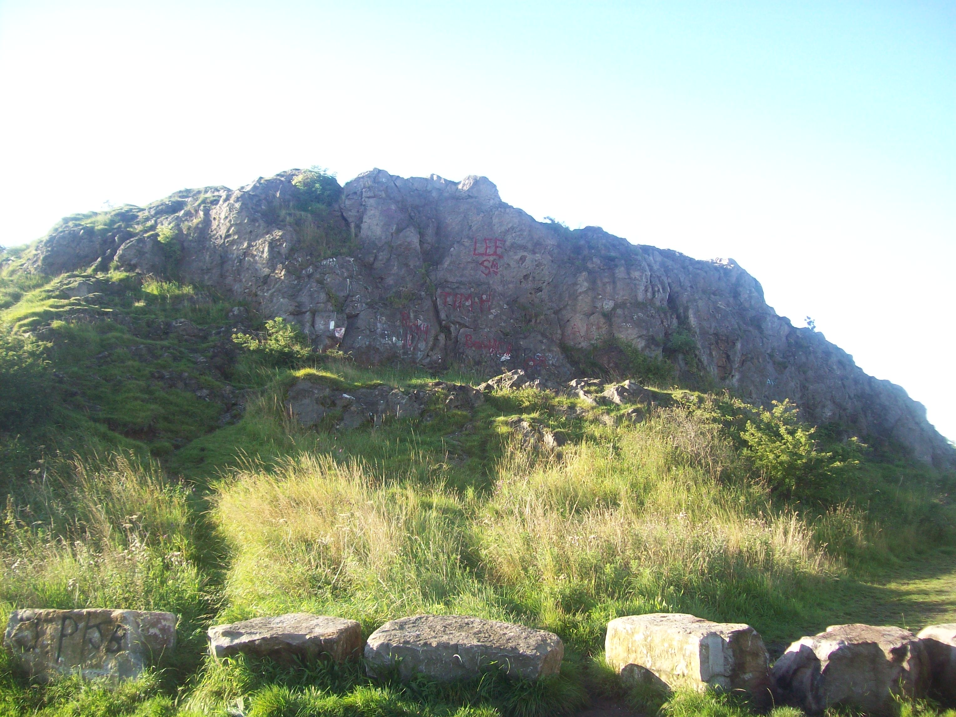
Newport Hill, located in Durham, England, is a prominent hill/mountain that offers stunning views and recreational opportunities to locals and visitors alike. Rising to an elevation of approximately 260 meters above sea level, it is a popular destination for hikers, nature enthusiasts, and those seeking panoramic vistas of the surrounding countryside.
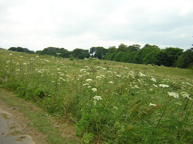
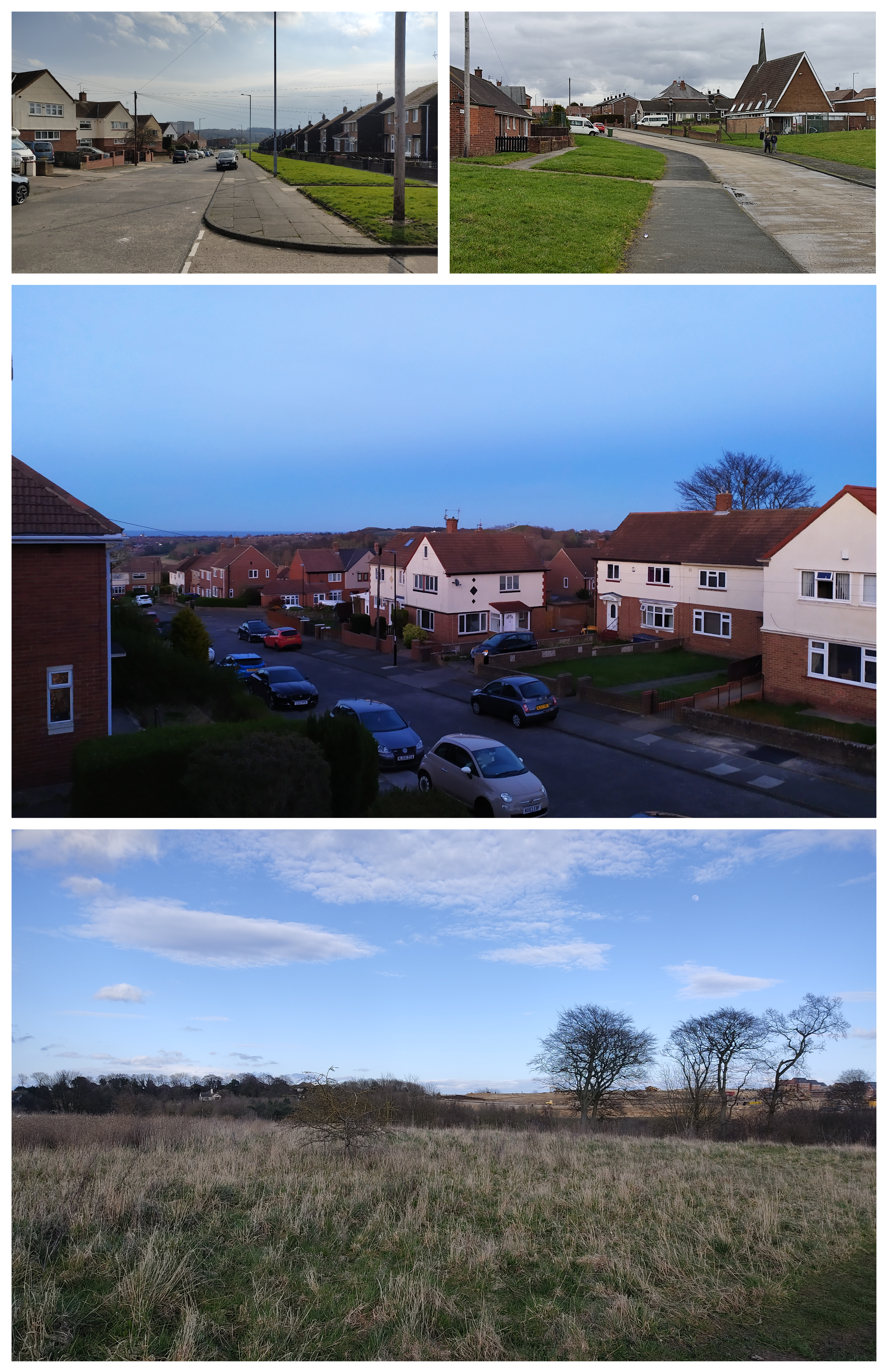
Situated in the northeast of Durham, Newport Hill is part of the North Pennines Area of Outstanding Natural Beauty, renowned for its picturesque landscapes and diverse flora and fauna. The hill is characterized by its rugged terrain, with steep slopes covered in heather and grasslands, interspersed with scattered trees and shrubs. The prominent limestone outcrops add to the hill's scenic beauty.
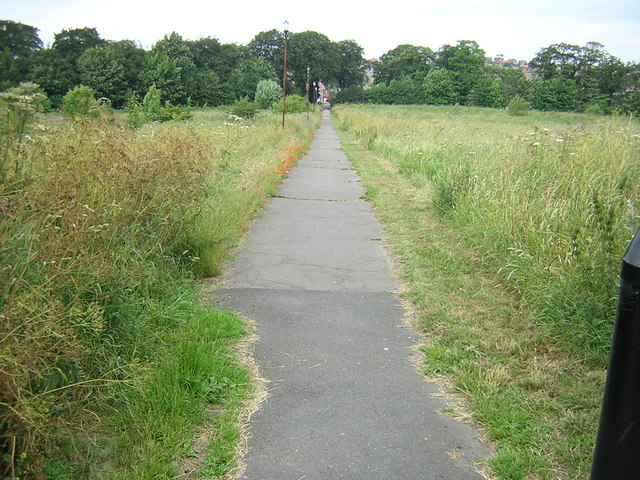
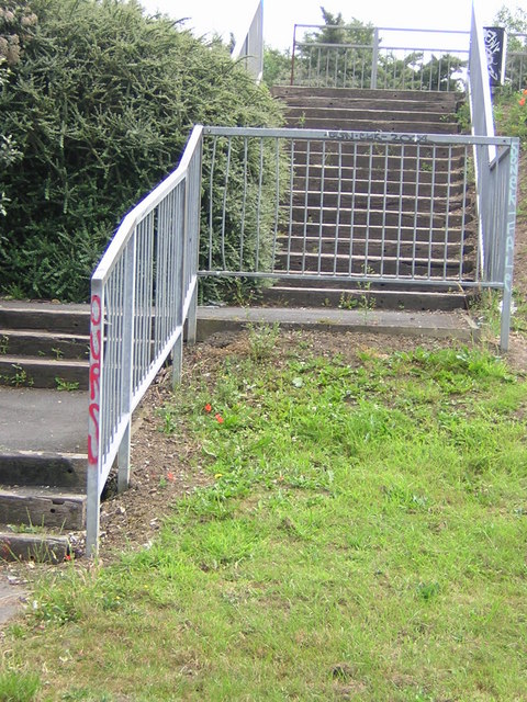
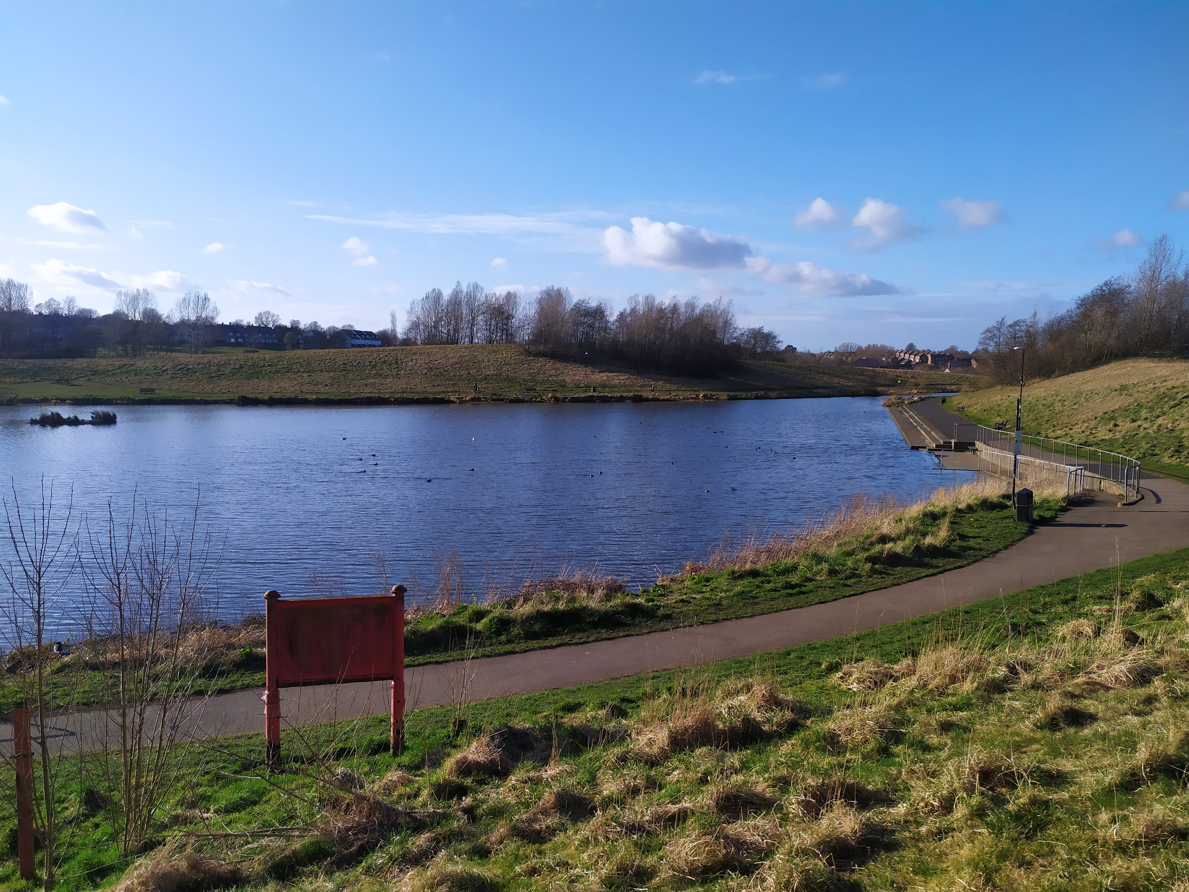
A network of well-maintained footpaths and trails crisscross Newport Hill, providing various options for exploration and adventure. Hikers can choose from a range of routes, catering to different levels of difficulty and time commitments. The ascent to the summit rewards visitors with breathtaking views over the surrounding countryside, including the nearby River Wear and the historic city of Durham.
Newport Hill is not only a natural haven but also holds cultural and historical significance. The hill is home to several archaeological sites, including remnants of ancient settlements and burial mounds. These archaeological finds provide valuable insights into the area's human occupation throughout history.
Whether it's for leisurely walks, challenging hikes, or simply enjoying the tranquility and beauty of nature, Newport Hill offers something for everyone. Its accessibility, natural splendor, and rich history make it a must-visit destination for outdoor enthusiasts and those seeking a break from urban life in Durham.
If you have any feedback on the listing, please let us know in the comments section below.
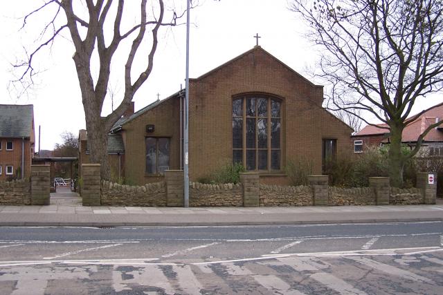
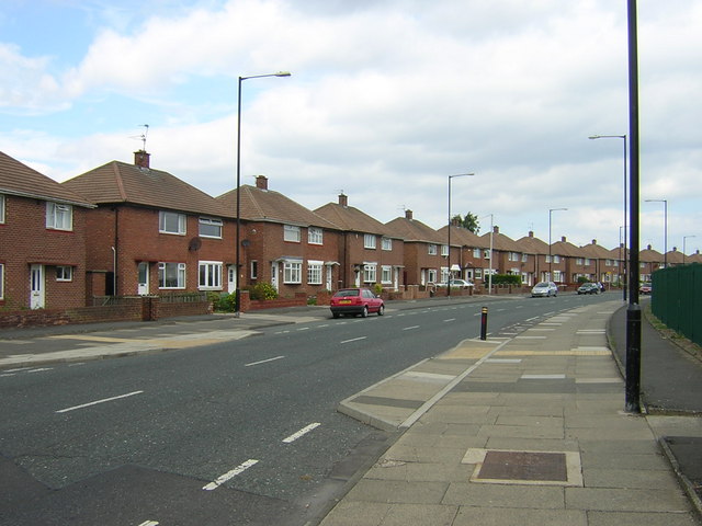
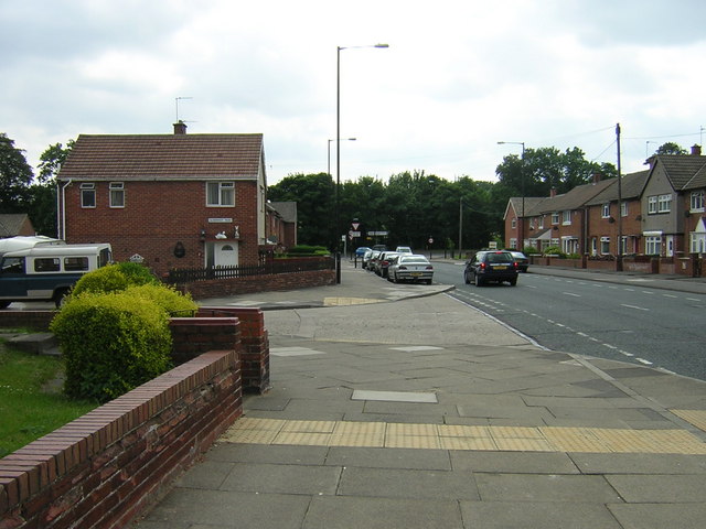
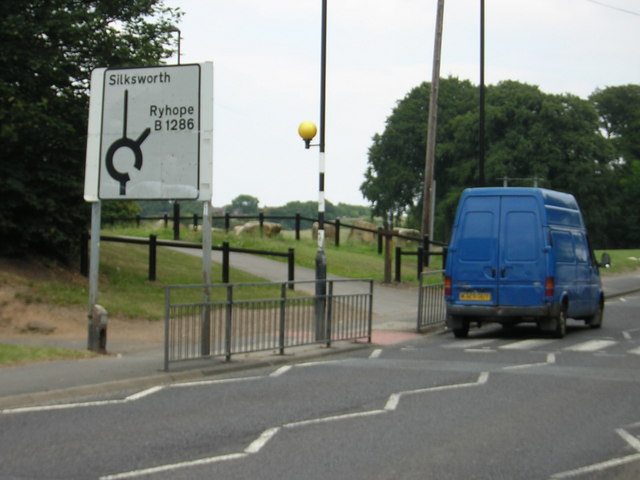
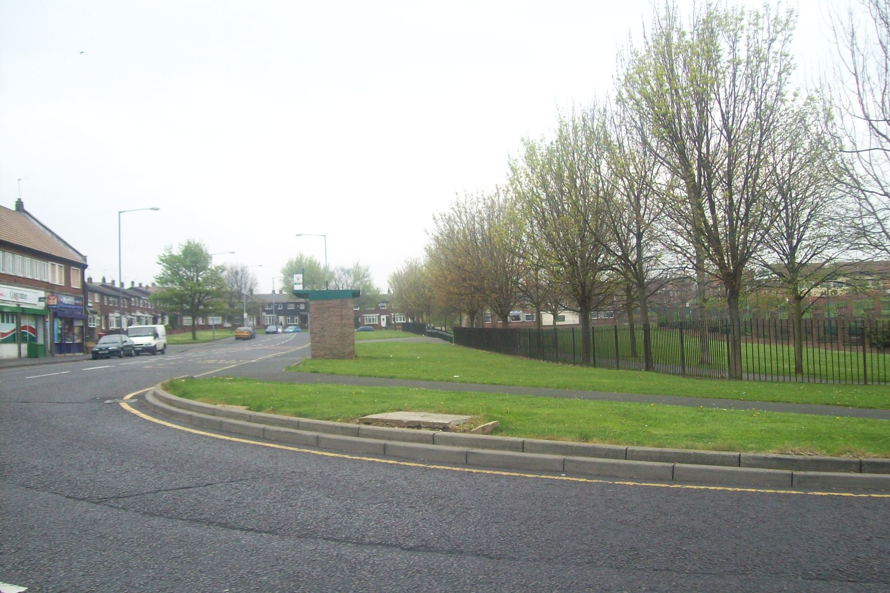
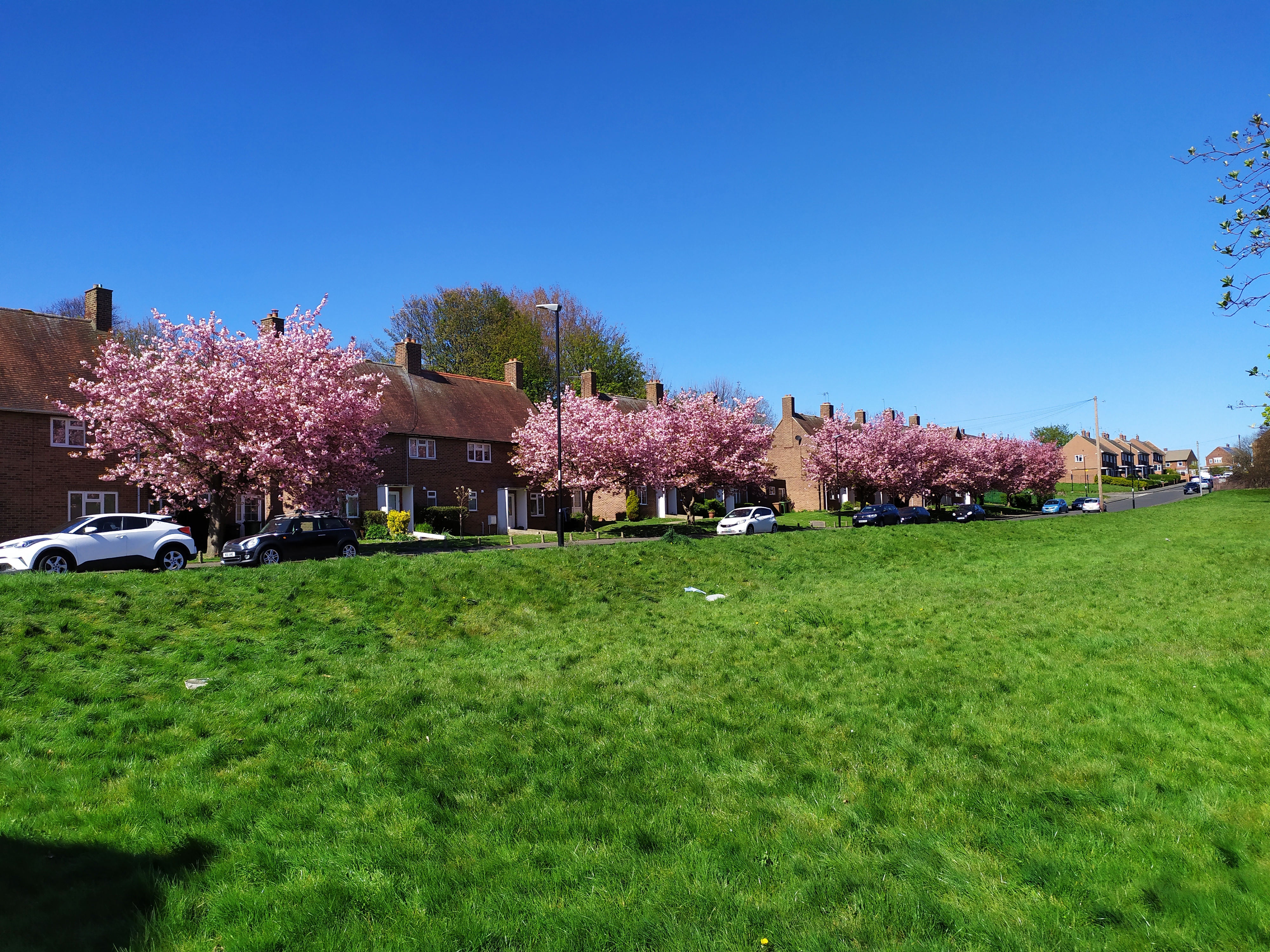
Newport Hill Images
Images are sourced within 2km of 54.878386/-1.410926 or Grid Reference NZ3753. Thanks to Geograph Open Source API. All images are credited.


Newport Hill is located at Grid Ref: NZ3753 (Lat: 54.878386, Lng: -1.410926)
Unitary Authority: Sunderland
Police Authority: Northumbria
What 3 Words
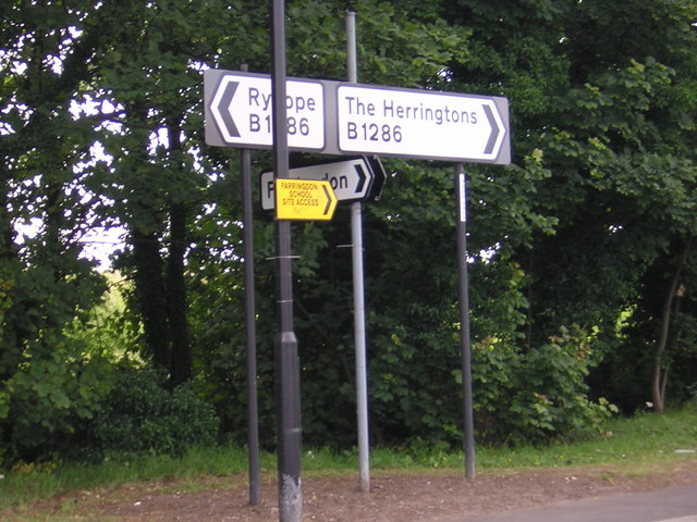
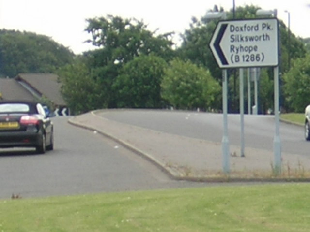
///edge.bossy.fields. Near Ryhope, Tyne & Wear
Nearby Locations
Related Wikis
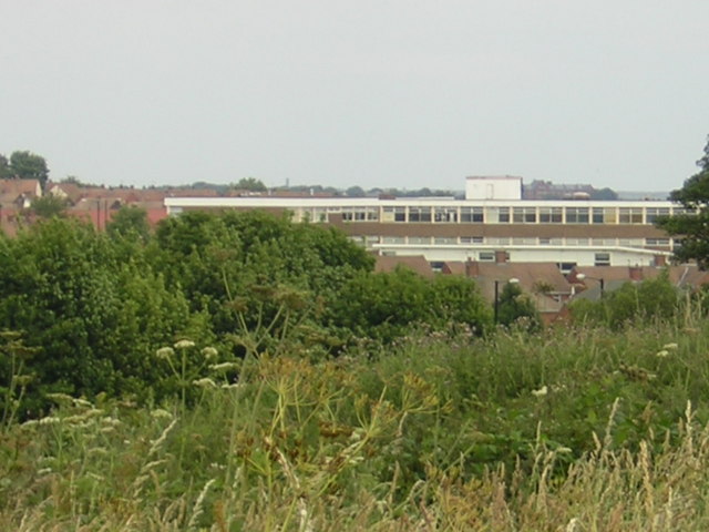
Farringdon, Sunderland
Farringdon is a suburb of Sunderland, Tyne and Wear, England. Originally a Monastic grange and manor estate for hundreds of years, Farringdon was rebuilt...

Plains Farm
Plains Farm (known locally as Plainsy) is a suburb of Sunderland, Tyne and Wear, England, and is a council-built housing estate, erected in the 1940s....
Farringdon Community Academy
Farringdon Community Academy is a co-educational secondary school with academy status, located in the suburb of Farringdon in Sunderland, Tyne and Wear...
New Silksworth
Silksworth is a suburb of the City of Sunderland, Tyne and Wear. The area can be distinguished into two parts, old Silksworth, the original village and...
Thorney Close
Thorney Close is a suburb of Sunderland, Tyne and Wear in England. It is located on the northern edge of the A690 (Durham Road), and borders with Grindon...
Tunstall, Sunderland
Tunstall is a suburb of Sunderland, Tyne and Wear, England which is mostly a privately purchased estate. It is located to the west of Ryhope, and east...
Springwell, Sunderland
Springwell is a suburb of the city of Sunderland. Not to be confused with the village of the same name in the city's far west, Springwell is 2 miles from...
Tunstall Hills
Tunstall Hills is an area of open space in Sunderland, Tyne and Wear, England. It is a Local Nature Reserve and Tunstall Hills And Ryhope Cutting has been...
Nearby Amenities
Located within 500m of 54.878386,-1.410926Have you been to Newport Hill?
Leave your review of Newport Hill below (or comments, questions and feedback).