Black Hill
Hill, Mountain in Shetland
Scotland
Black Hill
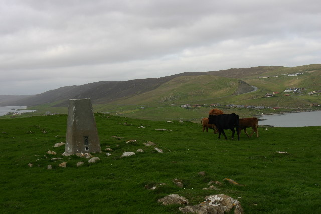
Black Hill is a prominent hill located on the Shetland Islands, an archipelago off the northeast coast of Scotland. With an elevation of approximately 414 meters (1,358 feet), it is one of the highest points on the islands and offers breathtaking panoramic views of the surrounding landscape.
Situated in the central part of the Shetland mainland, Black Hill is predominantly composed of ancient Lewisian gneiss, a type of metamorphic rock that forms the foundation of the islands. The hill's slopes are covered in a patchwork of heather and grass, creating a vibrant and picturesque scene during the summer months.
The summit of Black Hill is a popular destination for hikers and nature enthusiasts, who are rewarded with sweeping vistas of the rugged coastline, rolling green hills, and vast stretches of the North Atlantic Ocean. On clear days, it is even possible to catch a glimpse of the distant Fair Isle, an isolated island located about 38 kilometers (24 miles) south of Shetland.
The hill is home to a variety of wildlife, including nesting birds such as the red grouse and golden plover. The area surrounding Black Hill also supports a diverse range of plant species, including several types of orchids and wildflowers.
Visitors to Black Hill can access the summit via a well-maintained path, which starts from the nearby village of Gulberwick. The hike typically takes around two to three hours, depending on fitness levels, and is considered moderate in difficulty.
Overall, Black Hill is a captivating natural landmark that offers visitors an opportunity to immerse themselves in the stunning beauty of the Shetland Islands' countryside.
If you have any feedback on the listing, please let us know in the comments section below.
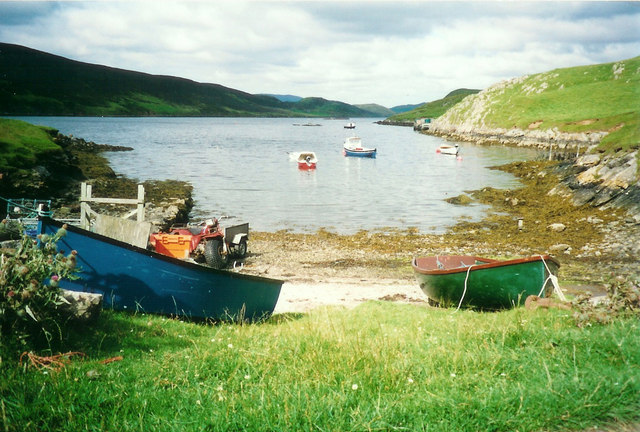
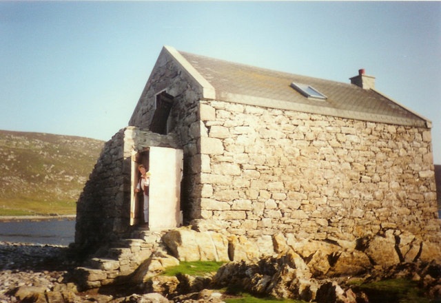
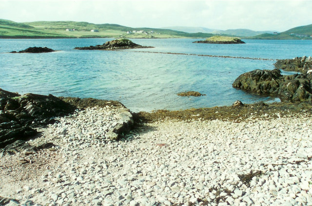
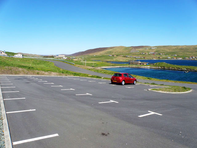
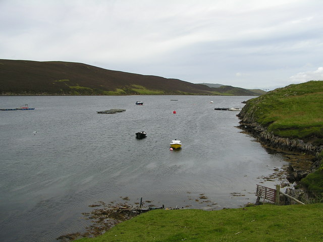
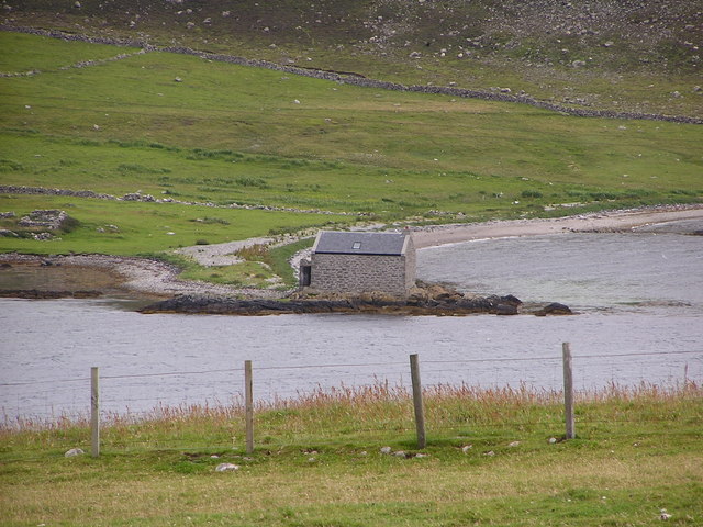
Black Hill Images
Images are sourced within 2km of 60.179627/-1.3207021 or Grid Reference HU3744. Thanks to Geograph Open Source API. All images are credited.


Black Hill is located at Grid Ref: HU3744 (Lat: 60.179627, Lng: -1.3207021)
Unitary Authority: Shetland Islands
Police Authority: Highlands and Islands
What 3 Words
///speedy.vintages.intend. Near Scalloway, Shetland Islands
Nearby Locations
Related Wikis

Hoy, Shetland
Hoy (Háey, Old Norse for 'high island') is a small island in Weisdale Voe, an arm of the sea in the Shetland islands, Scotland. Nearby are the smaller...

Whiteness, Shetland
Whiteness (Old Norse: Hvitanes, white headland) is a village in Tingwall parish, Shetland Islands, Scotland, on Mainland. It is also an ancient civil parish...

North Havra
North Havra (Old Norse: Hafrey, ocean island) is a small island off south west Shetland. It is 30 metres at its highest point. Situated 1/3 mile from the...

Flotta, Shetland
Flotta (grid reference HU375462) is an island off the south west of Mainland, Shetland. The name may come from the Old Norse, flatey meaning flat island...
Setter Hill, Tingwall
Setter Hill is a hill in Tingwall, Shetland, Scotland. == References ==
Burwick
Burwick is a small peninsula north of Scalloway in the Shetland Islands, Scotland. The Hill of Burwick rises to 107 metres (351 ft), the Ness of Burwick...
Burwick Holm
Burwick Holm is a small island off the west coast of Mainland, Shetland. It is located in the Bur Wick inlet, and near Scalloway.

Law Ting Holm
Law Ting Holm (also known as Tingaholm) is a small promontory at the north end of the freshwater Loch of Tingwall, Mainland Shetland, Scotland. It was...
Have you been to Black Hill?
Leave your review of Black Hill below (or comments, questions and feedback).