Sixteen Acre Hill

Hill, Mountain in Yorkshire Harrogate

England

Sixteen Acre Hill

Farmland near Ferrensby
Farmland near Ferrensby Credit: JThomas

Sixteen Acre Hill, located in Yorkshire, is a prominent hill that offers stunning views of the surrounding landscape. Situated in the northern part of England, Yorkshire is known for its picturesque countryside, historical sites, and natural beauty, and Sixteen Acre Hill is no exception.

Standing at an elevation of approximately 200 meters (656 feet), Sixteen Acre Hill is classified as a hill rather than a mountain. It is named after its size, as it covers roughly sixteen acres of land. The hill is characterized by its gentle slopes and rolling terrain, making it accessible to hikers and nature enthusiasts of all levels.

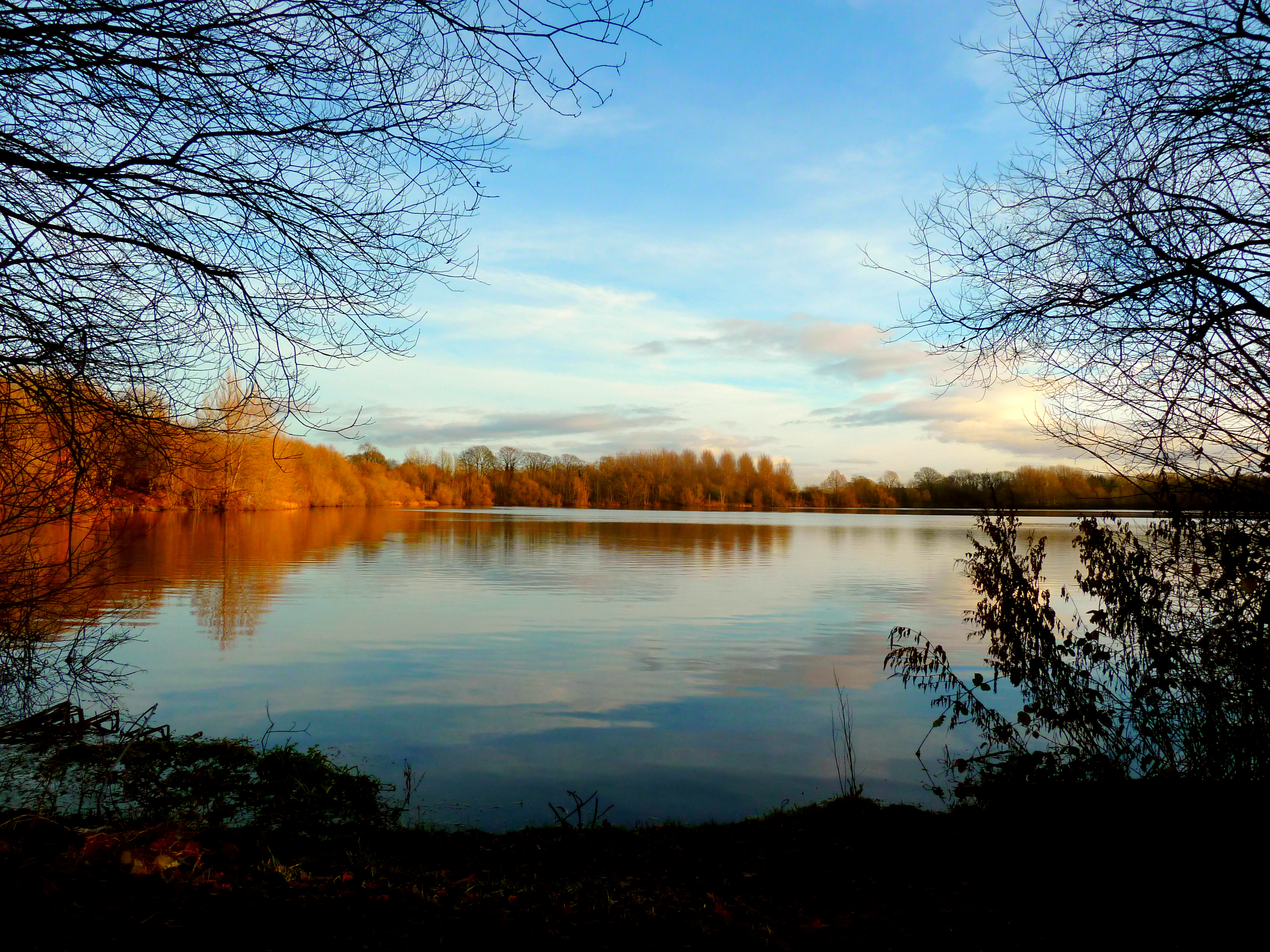
The hill is covered in lush greenery, with grassy fields and patches of wildflowers adorning its slopes during the warmer months. This creates a picturesque scene that attracts visitors year-round. From the summit of Sixteen Acre Hill, visitors are treated to breathtaking panoramic views of the surrounding Yorkshire Dales, including rolling hills, meandering rivers, and charming villages in the distance.

Due to its location in Yorkshire, Sixteen Acre Hill is easily accessible for both locals and tourists. It is a popular destination for outdoor activities such as hiking, picnicking, and photography. Its tranquil and serene atmosphere provides a perfect escape from the hustle and bustle of everyday life, allowing visitors to connect with nature and enjoy the beauty of the Yorkshire countryside.

In conclusion, Sixteen Acre Hill in Yorkshire is a picturesque hill that offers stunning views of the surrounding landscape. With its gentle slopes, lush greenery, and panoramic vistas, it is a must-visit destination for those seeking natural beauty and a peaceful retreat in the heart of Yorkshire.

If you have any feedback on the listing, please let us know in the comments section below.

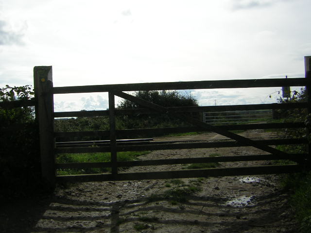
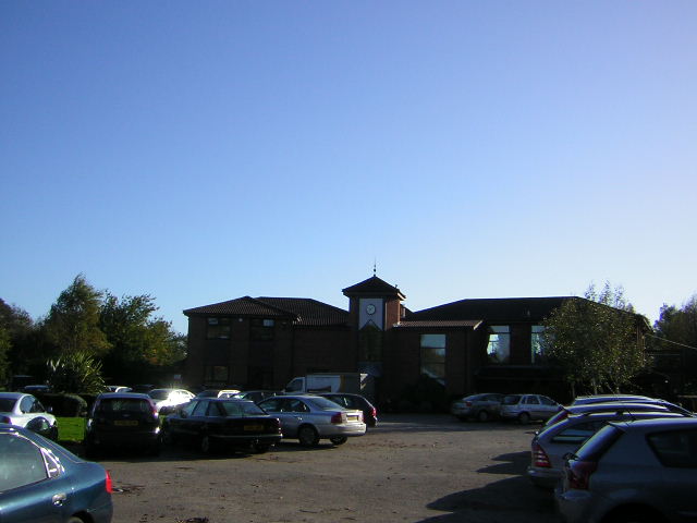
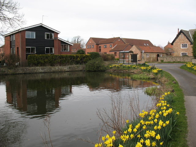
Sixteen Acre Hill Images

Images are sourced within 2km of 54.022423/-1.4252947 or Grid Reference SE3758. Thanks to Geograph Open Source API. All images are credited.

Farmland near Ferrensby
Boroughbridge Road (A6055) Heading north east.
Boroughbridge Road (A6055)
Heading north east.
Farmland east of Moor Lane
Poplar Cottage, east of Ferrensby
Hay bales on the track to Poplar and Hollies Farms
Goldsborough Cold Store The cold store between Flaxby and Goldsborough operated by Manton Transport Ltd. The York to Harrogate railway line runs in front of the store and originally had a siding serving the store. This is one of forty cold stores built during World War II beside railways <span class="nowrap"><a title="http://www.subbrit.org.uk/rsg/sites/g/goldsborough_cold_store/index.html" rel="nofollow ugc noopener" href="http://www.subbrit.org.uk/rsg/sites/g/goldsborough_cold_store/index.html">Link</a><img style="margin-left:2px;" alt="External link" title="External link - shift click to open in new window" src="https://s1.geograph.org.uk/img/external.png" width="10" height="10"/></span> .
Goldsborough Cold Store
The cold store between Flaxby and Goldsborough operated by Manton Transport Ltd. The York to Harrogate railway line runs in front of the store and originally had a siding serving the store. This is one of forty cold stores built during World War II beside railways LinkExternal link .
Sand Hill Junction of Station Road from Goldsborough and the busy A59
Sand Hill
Junction of Station Road from Goldsborough and the busy A59
Coneythorpe The Tiger Inn seen from the village pump.
Coneythorpe
The Tiger Inn seen from the village pump.
Clareton Moor Farm The farm as seen from the Bridleway to The Hollies, this BW is part of the Knaresborough Round
Clareton Moor Farm
The farm as seen from the Bridleway to The Hollies, this BW is part of the Knaresborough Round
The Hollies At Hollies Farm the tractor driver is preparing the sprayer for weed reduction on 40 acres of Oil Seed Rape, should take all afternoon if those ominous clouds allow it
The Hollies
At Hollies Farm the tractor driver is preparing the sprayer for weed reduction on 40 acres of Oil Seed Rape, should take all afternoon if those ominous clouds allow it
Castle Farm Bridleways go through the farm yard from Shortsill Lane, Hay-a-Park and The Hollies
Castle Farm
Bridleways go through the farm yard from Shortsill Lane, Hay-a-Park and The Hollies
Hay-a-Park Originally Mill Farm, now Windmill Cottage and The Barn
Hay-a-Park
Originally Mill Farm, now Windmill Cottage and The Barn
Hall Farm The original farmhouse, every other building has been modernised into residential property and given original names like The Barn, The Stables etc
Hall Farm
The original farmhouse, every other building has been modernised into residential property and given original names like The Barn, The Stables etc
Level crossing User operated level crossing over the Knaresborough to Cattal section of the Harrogate to York Railway. Permitted Footpath ends here 200m after leaving a BW? Why bother?
Level crossing
User operated level crossing over the Knaresborough to Cattal section of the Harrogate to York Railway. Permitted Footpath ends here 200m after leaving a BW? Why bother?
Knaresborough Bar Lane Old quarry site now a bird watchers paradise, this view over the water to Knaresborough includes the delightfully named Sweet Bits Farm.
Knaresborough Bar Lane
Old quarry site now a bird watchers paradise, this view over the water to Knaresborough includes the delightfully named Sweet Bits Farm.
Knaresborough Golf Club A busy and beautiful day at the Golf Club with some sort of competition taking place. I got a few strange looks when I turned up on my bike, obviously not obeying the de rigueur dress code.
Knaresborough Golf Club
A busy and beautiful day at the Golf Club with some sort of competition taking place. I got a few strange looks when I turned up on my bike, obviously not obeying the de rigueur dress code.
Flaxby Flaxby is no more than a hamlet on a quiet side road. There are a few period houses and some modern bungalows. This was once a busy road, as the right hand branch was the A59 towards York until the 1970's. A mile further east it crossed the A1 by a dangerous staggered junction. Both A59 and A1 have since been much improved, with the A1 now a motorway.
Flaxby
Flaxby is no more than a hamlet on a quiet side road. There are a few period houses and some modern bungalows. This was once a busy road, as the right hand branch was the A59 towards York until the 1970's. A mile further east it crossed the A1 by a dangerous staggered junction. Both A59 and A1 have since been much improved, with the A1 now a motorway.
The green, Coneythorpe Is Coneythorpe a village or a hamlet? Apart from a scattering of houses of various styles and ages, there is nothing else apart from the Tiger Inn. An old pump stands on the green.
The green, Coneythorpe
Is Coneythorpe a village or a hamlet? Apart from a scattering of houses of various styles and ages, there is nothing else apart from the Tiger Inn. An old pump stands on the green.
Show me another place!

Sixteen Acre Hill is located at Grid Ref: SE3758 (Lat: 54.022423, Lng: -1.4252947)

Division: West Riding

Administrative County: North Yorkshire

District: Harrogate

Police Authority: North Yorkshire

What 3 Words

///headlight.culling.rested. Near Knaresborough, North Yorkshire

Related Wikis

Ferrensby

Ferrensby is a village and civil parish in the Harrogate district of North Yorkshire, England. The population of the civil parish at the 2011 census was...

Hay-a-Park Gravel Pit

Hay-a-Park Gravel Pit is a Site of Special Scientific Interest, or SSSI, adjacent to the east side of the town of Knaresborough, North Yorkshire, England...

Flaxby

Flaxby is a village and civil parish in the Harrogate district of North Yorkshire, England. It is close to the A1(M) motorway and 2 miles (3.2 km) east...

Goldsborough railway station

Goldsborough railway station served the village of Goldsborough, North Yorkshire, England from 1850 to 1965 on the Harrogate line. The station was over...

Coneythorpe

Coneythorpe is a village in the civil parish of Coneythorpe and Clareton, in North Yorkshire, England. It is situated less than 1 mile (1.6 km) west from...

Knaresborough Hay Park Lane railway station

Knaresborough Hay Park Lane railway station was a temporary railway station that served the town of Knaresborough, North Yorkshire, England from 1848 to...

Knaresborough Town A.F.C.

Knaresborough Town Association Football Club is a football club based in Knaresborough, North Yorkshire, England. They are currently members of the Northern...

Arkendale

Arkendale is a village and civil parish in the Harrogate district of North Yorkshire, England. It is 6 miles (10 km) north-east of Harrogate town, and...

Nearby Amenities

Located within 500m of 54.022423,-1.4252947
Material: wood
Power: pole
Lat/Long: 54.025397/-1.4196768
Material: wood
Power: pole
Lat/Long: 54.0251891/-1.420835
Material: wood
Power: pole
Lat/Long: 54.0249427/-1.422195
Material: wood
Power: pole
Lat/Long: 54.0247489/-1.4232216
Material: wood
Power: pole
Lat/Long: 54.0250021/-1.4245686
Material: wood
Power: pole
Lat/Long: 54.0252587/-1.425933
Material: wood
Power: pole
Lat/Long: 54.0255168/-1.4272981
Material: wood
Power: pole
Lat/Long: 54.0254161/-1.4285034
Material: wood
Power: pole
Lat/Long: 54.0253282/-1.4295952
Material: wood
Power: pole
Lat/Long: 54.025233/-1.4307655
Material: wood
Power: pole
Lat/Long: 54.0251912/-1.4307577
Material: wood
Power: pole
Lat/Long: 54.0242397/-1.4307026
Material: wood
Power: pole
Lat/Long: 54.0234979/-1.430668
The data included in this document is from www.openstreetmap.org. The data is made available under ODbL.

Have you been to Sixteen Acre Hill?

Leave your review of Sixteen Acre Hill below (or comments, questions and feedback).