Breach Hill
Hill, Mountain in Leicestershire North West Leicestershire
England
Breach Hill

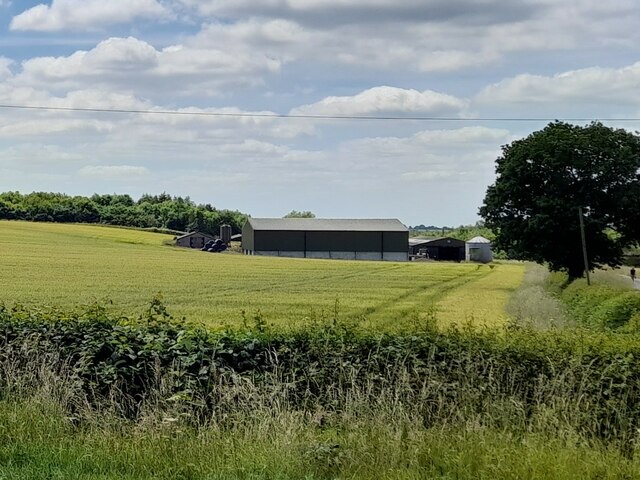
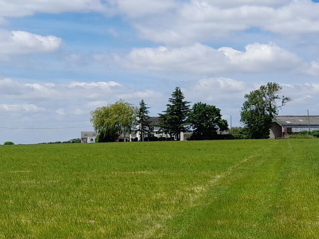
Breach Hill is a prominent hill located in Leicestershire, England. Situated within the Charnwood Forest, it forms part of the picturesque landscape of the county. Rising approximately 200 meters above sea level, the hill offers stunning panoramic views of the surrounding countryside.
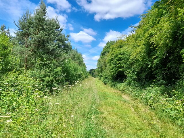
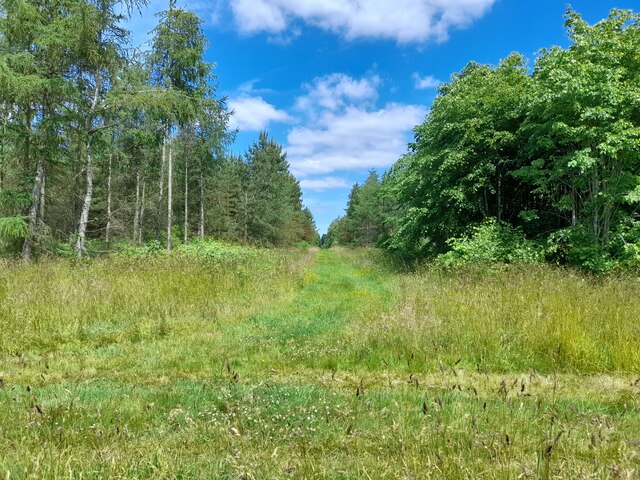
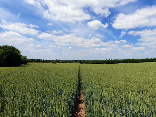
Covered in a mixture of grasslands, heathland, and scattered trees, Breach Hill boasts a diverse range of flora and fauna. The hill is home to several rare and protected species, including various types of butterflies, birds, and insects. Its rich biodiversity makes it a popular destination for nature enthusiasts and wildlife photographers.
Breach Hill also holds historical significance. Archaeological evidence suggests that the hill was inhabited during the Iron Age, with several earthworks and ancient burial sites discovered in the vicinity. These remnants provide valuable insights into the area's ancient past and attract archaeologists and history buffs.
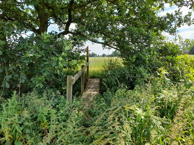
For outdoor enthusiasts, Breach Hill offers numerous walking and hiking trails that cater to all levels of fitness. The routes are well-marked, ensuring visitors can navigate through the hill's diverse terrain with ease. Additionally, the hill provides a great spot for picnics and relaxation, with designated areas offering benches and tables.
Overall, Breach Hill is a beautiful and historically significant natural landmark in Leicestershire. Its combination of stunning views, biodiversity, and recreational opportunities make it a must-visit destination for both locals and tourists alike.
If you have any feedback on the listing, please let us know in the comments section below.
Breach Hill Images
Images are sourced within 2km of 52.73418/-1.4428183 or Grid Reference SK3715. Thanks to Geograph Open Source API. All images are credited.


Breach Hill is located at Grid Ref: SK3715 (Lat: 52.73418, Lng: -1.4428183)
Administrative County: Leicestershire
District: North West Leicestershire
Police Authority: Leicestershire
What 3 Words
///polar.capers.fools. Near Ashby de la Zouch, Leicestershire
Nearby Locations
Related Wikis

Ashby de la Zouch Rural District
Ashby de la Zouch Rural District was a rural district in England, near Ashby de la Zouch (which was an urban district). It was formed in 1894 along with...
Alton, Leicestershire
Alton is a deserted medieval village between Coalville and Ashby-de-la-Zouch, in North West Leicestershire, England. The earliest documentation of the...
Ashby Ivanhoe F.C.
Ashby Ivanhoe Football Club are a football club based in Ashby-de-la-Zouch, Leicestershire, England. They are currently members of the United Counties...

Packington
Packington is a village and civil parish in the district of North West Leicestershire. It is situated close to the A42 road and the towns of Ashby de la...
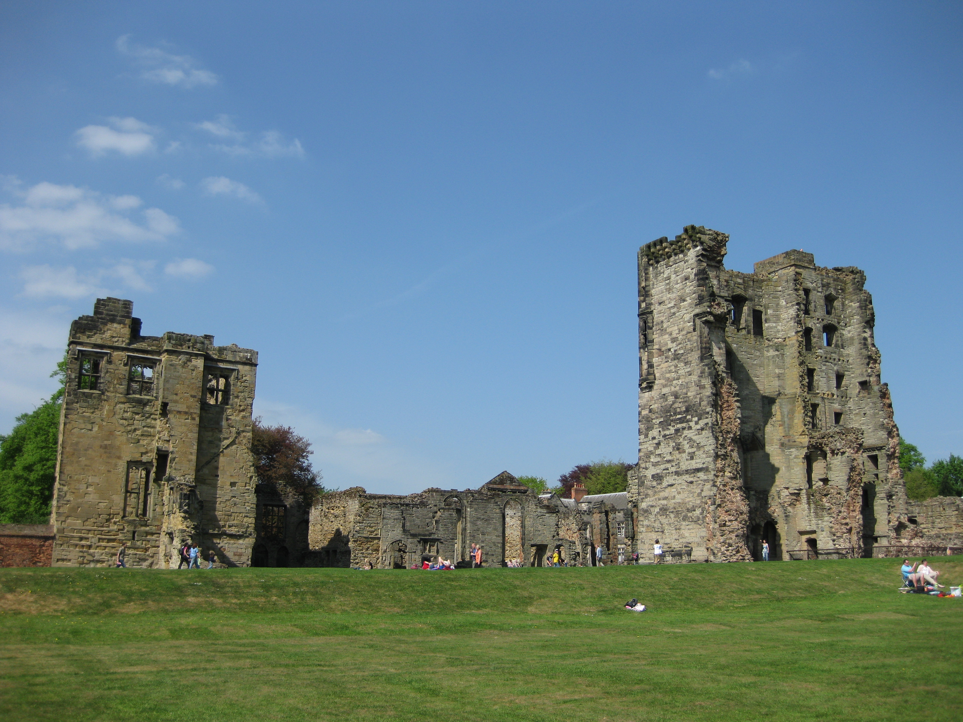
Ashby de la Zouch Castle
Ashby de la Zouch Castle is a ruined fortification in the town of Ashby-de-la-Zouch, Leicestershire, England. The castle was built by William, Lord Hastings...
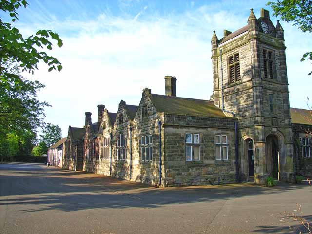
Ashby School
Ashby School, formerly known as Ashby Grammar School, is a co-educational day secondary school and sixth form in Ashby-de-la-Zouch, Leicestershire, England...
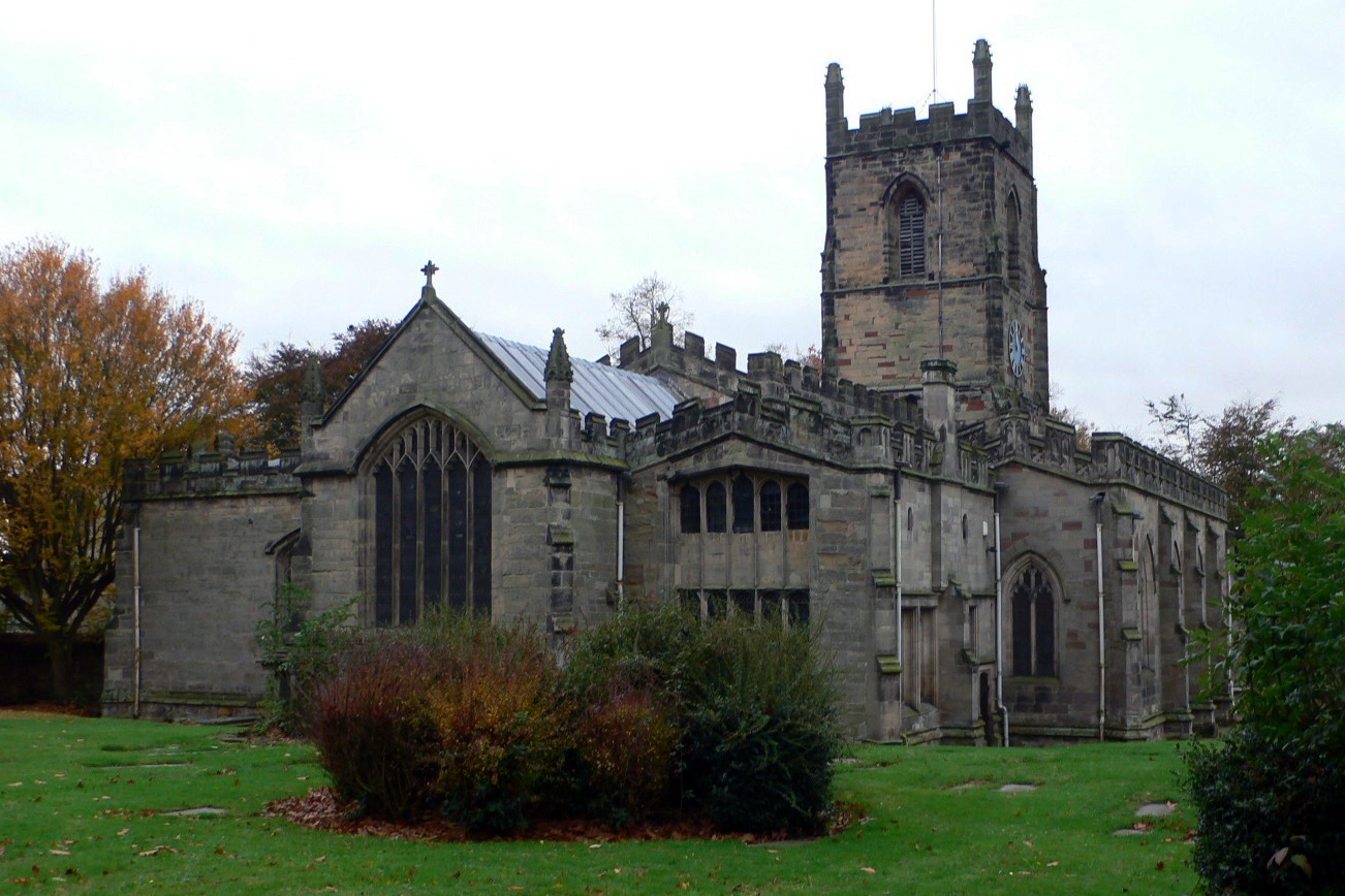
St Helen's Church, Ashby-de-la-Zouch
St Helen's Church is the Anglican parish church of Ashby-de-la-Zouch, in the deanery of North West Leicestershire and the Diocese of Leicester. There was...
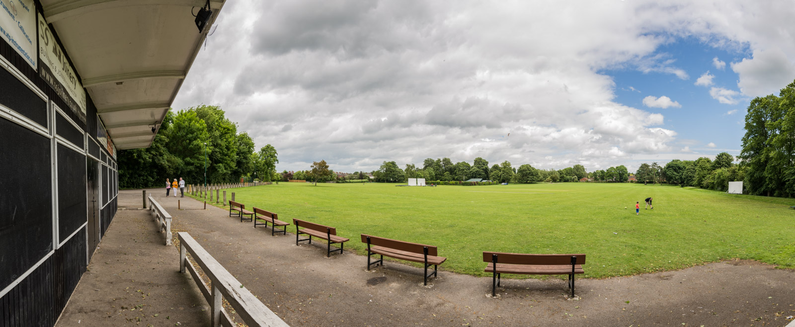
Bath Grounds
The Bath Grounds is a historic recreational ground and cricket ground based in the town of Ashby-de-la-Zouch, Leicestershire. It is home to Ashby Hastings...
Have you been to Breach Hill?
Leave your review of Breach Hill below (or comments, questions and feedback).