Roebuck Hill
Hill, Mountain in Yorkshire
England
Roebuck Hill
Roebuck Hill, located in the scenic countryside of Yorkshire, England, is a picturesque hill that offers breathtaking views and a haven for outdoor enthusiasts. Standing at an elevation of approximately 450 meters (1476 feet), it is considered a moderate-sized hill rather than a towering mountain.
The hill is nestled within the North York Moors National Park, renowned for its diverse wildlife and stunning landscapes. Roebuck Hill boasts a rich variety of flora and fauna, with heather-covered moorlands, dense forests, and rolling pastures. Its unique geographical features, such as steep slopes and deep valleys, add to its charm and allure.
The summit of Roebuck Hill offers panoramic vistas, allowing visitors to admire the surrounding countryside, including the nearby village of Helmsley and the expansive moorlands stretching towards the horizon. On clear days, one can even catch glimpses of the North Sea in the distance.
Hikers and walkers are drawn to Roebuck Hill's numerous footpaths and trails, which cater to a range of abilities. The hill's accessible nature makes it a popular destination for outdoor activities, such as hillwalking, birdwatching, and photography. The diversity of the landscape provides ample opportunities for exploration, with hidden streams, ancient ruins, and meandering trails waiting to be discovered.
Roebuck Hill is a tranquil retreat, offering a serene and peaceful atmosphere away from the hustle and bustle of city life. Its natural beauty and idyllic surroundings make it a must-visit destination for nature lovers and those seeking a respite in the heart of Yorkshire's countryside.
If you have any feedback on the listing, please let us know in the comments section below.
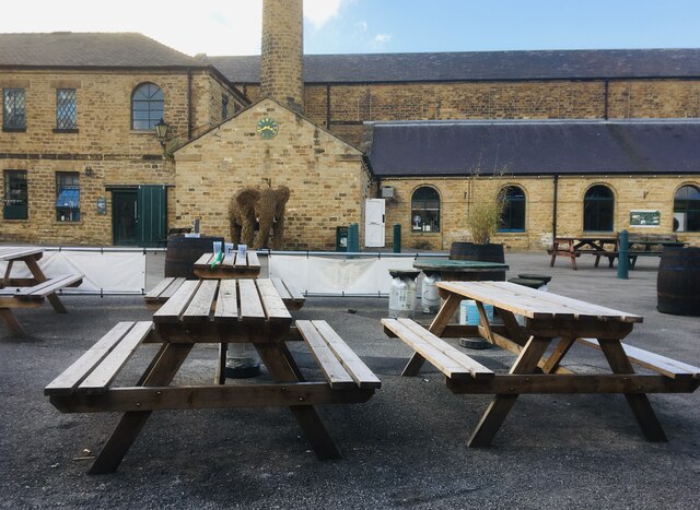
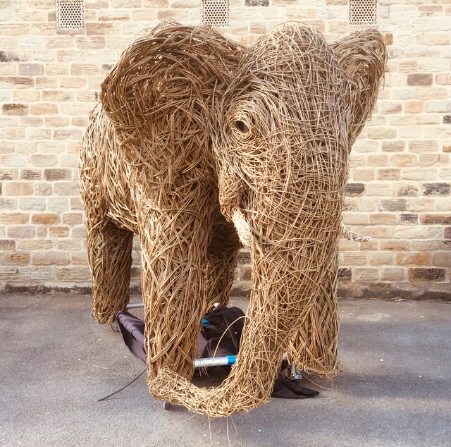
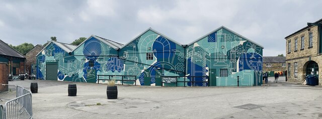
Roebuck Hill Images
Images are sourced within 2km of 53.509192/-1.433057 or Grid Reference SE3701. Thanks to Geograph Open Source API. All images are credited.
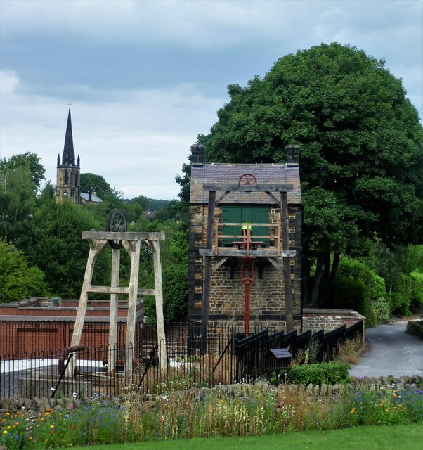


![Newcomen beam engine and engine house, Elsecar Doors open and working [hydraulically since its restoration, not by steam]. When this was erected in 1795 [not 1787 as in the date stone] more efficient steam pumping engines were available, which were also more expensive to buy or rent. But when you&#039;re right on top of a coal mine, a cheap fuel-hungry atmospheric engine makes perfect sense.](https://s0.geograph.org.uk/geophotos/04/76/31/4763184_d14d9264.jpg)

Roebuck Hill is located at Grid Ref: SE3701 (Lat: 53.509192, Lng: -1.433057)
Division: West Riding
Unitary Authority: Barnsley
Police Authority: South Yorkshire
What 3 Words
///liability.belts.wake. Near Hoyland Nether, South Yorkshire
Nearby Locations
Related Wikis
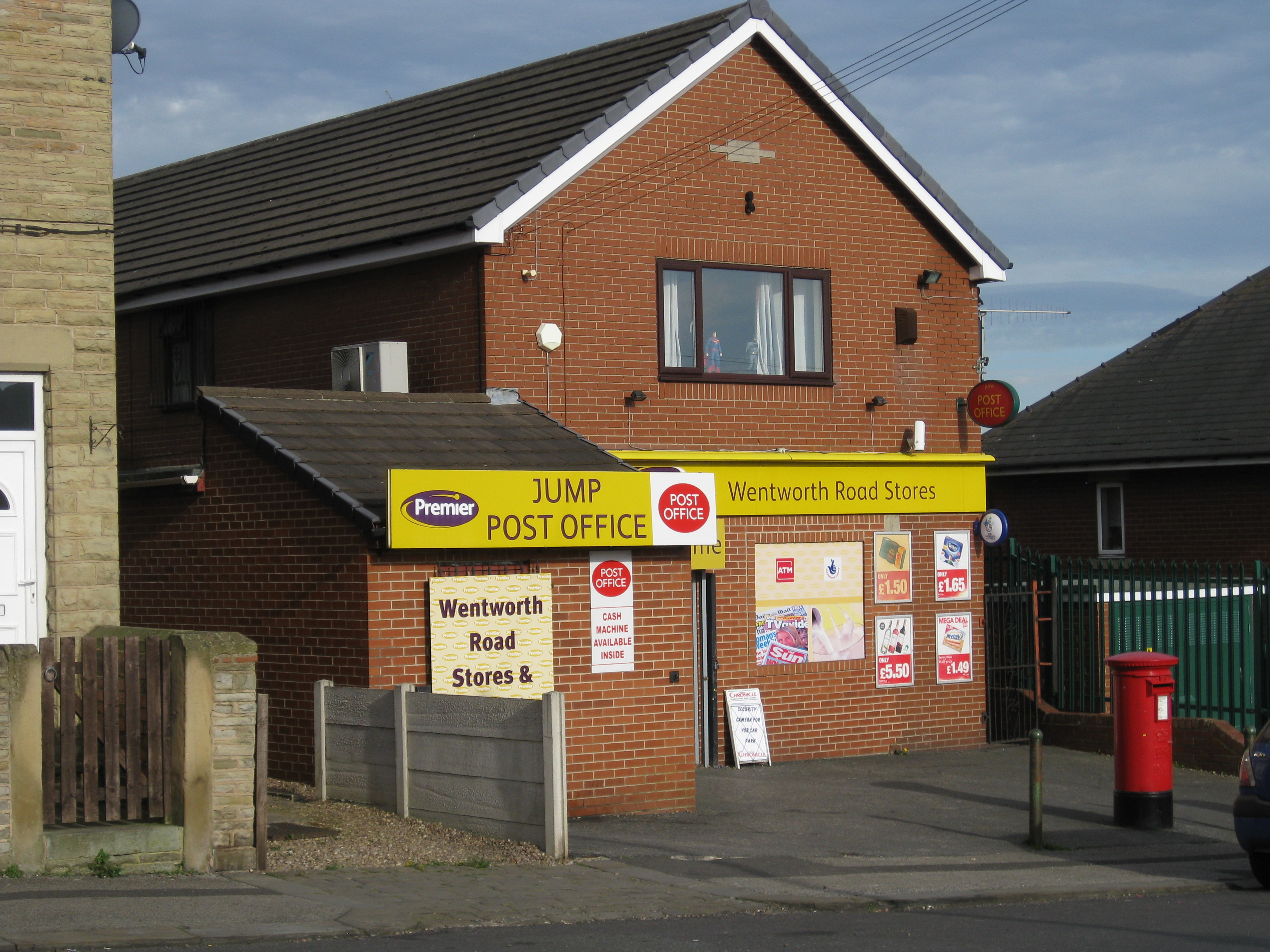
Jump, South Yorkshire
Jump is a village in the metropolitan borough of Barnsley in South Yorkshire, England. It is north-east of Hoyland, separated from it by the Jump Valley...
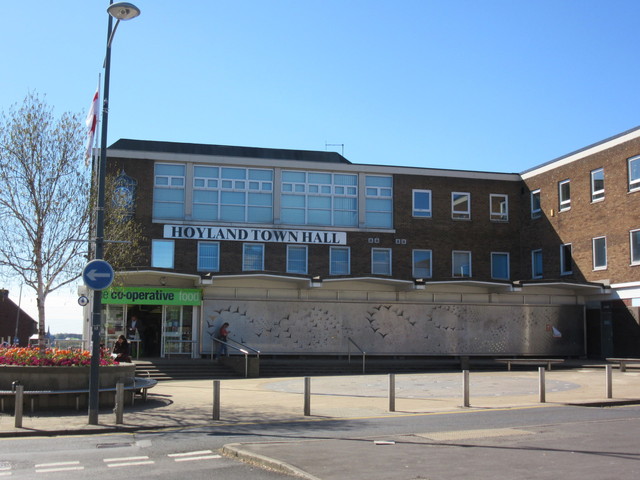
Hoyland Town Hall
Hoyland Town Hall is a former municipal building in Hoyland, a town in South Yorkshire in England. The town hall, which was previously the offices and...
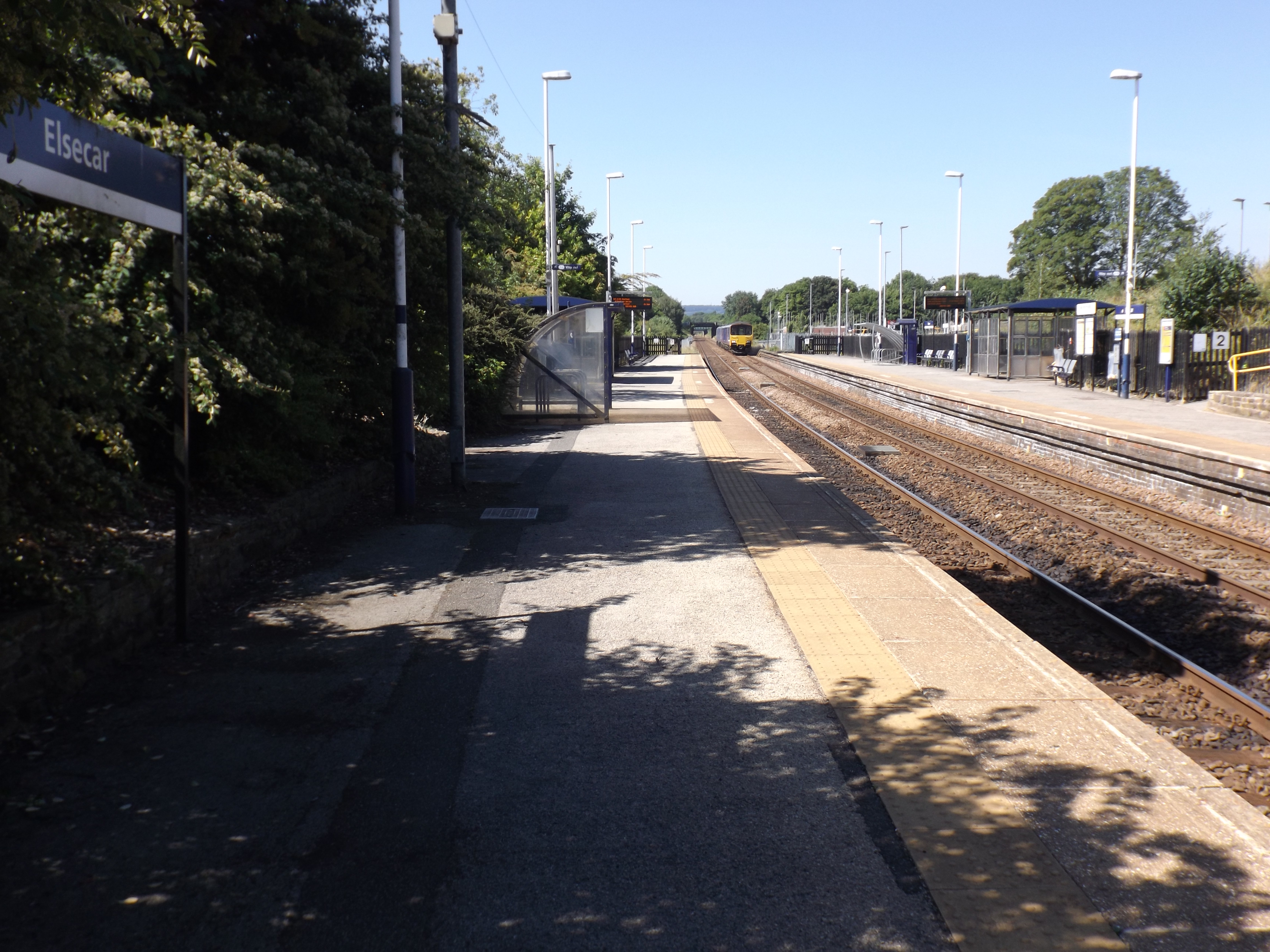
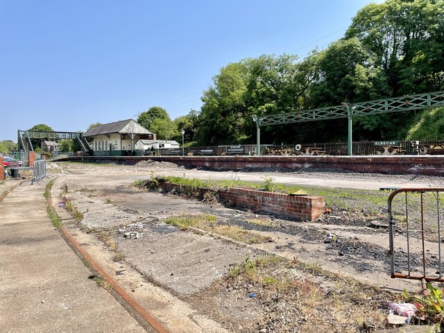
Elsecar railway station
Elsecar railway station is a railway station serving the village of Elsecar in South Yorkshire, England. It is on the Penistone Line and Hallam Line served...

Hoyland
Hoyland is a town in the Metropolitan Borough of Barnsley in South Yorkshire, England. The town developed from the hamlets of Upper Hoyland, Hoyland, and...

Milton Ironworks
The Milton Ironworks was an iron works established in the 19th century in the Elsecar area of Barnsley, West Yorkshire, England. == History == Elsecar...
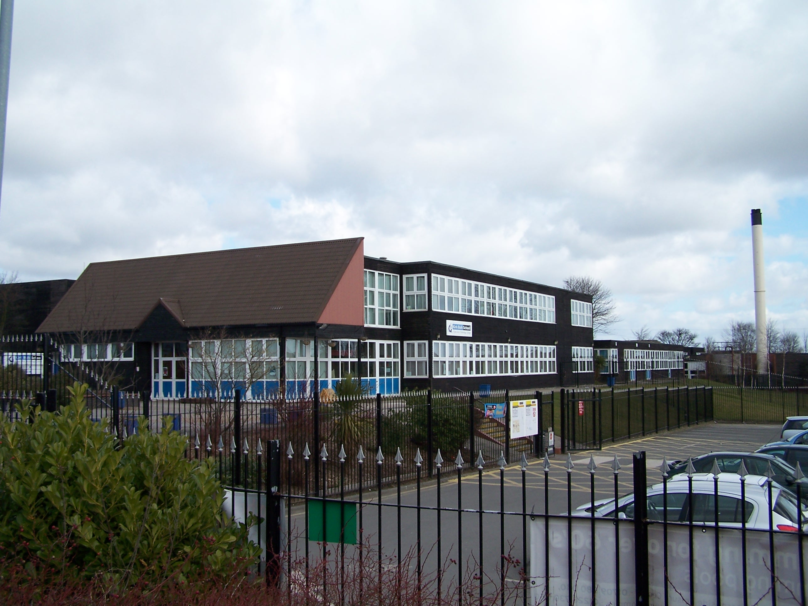
Kirk Balk Academy
Kirk Balk Academy is a secondary school located in Barnsley, South Yorkshire, England. It is part of the Northern Education Trust. The school mainly serves...
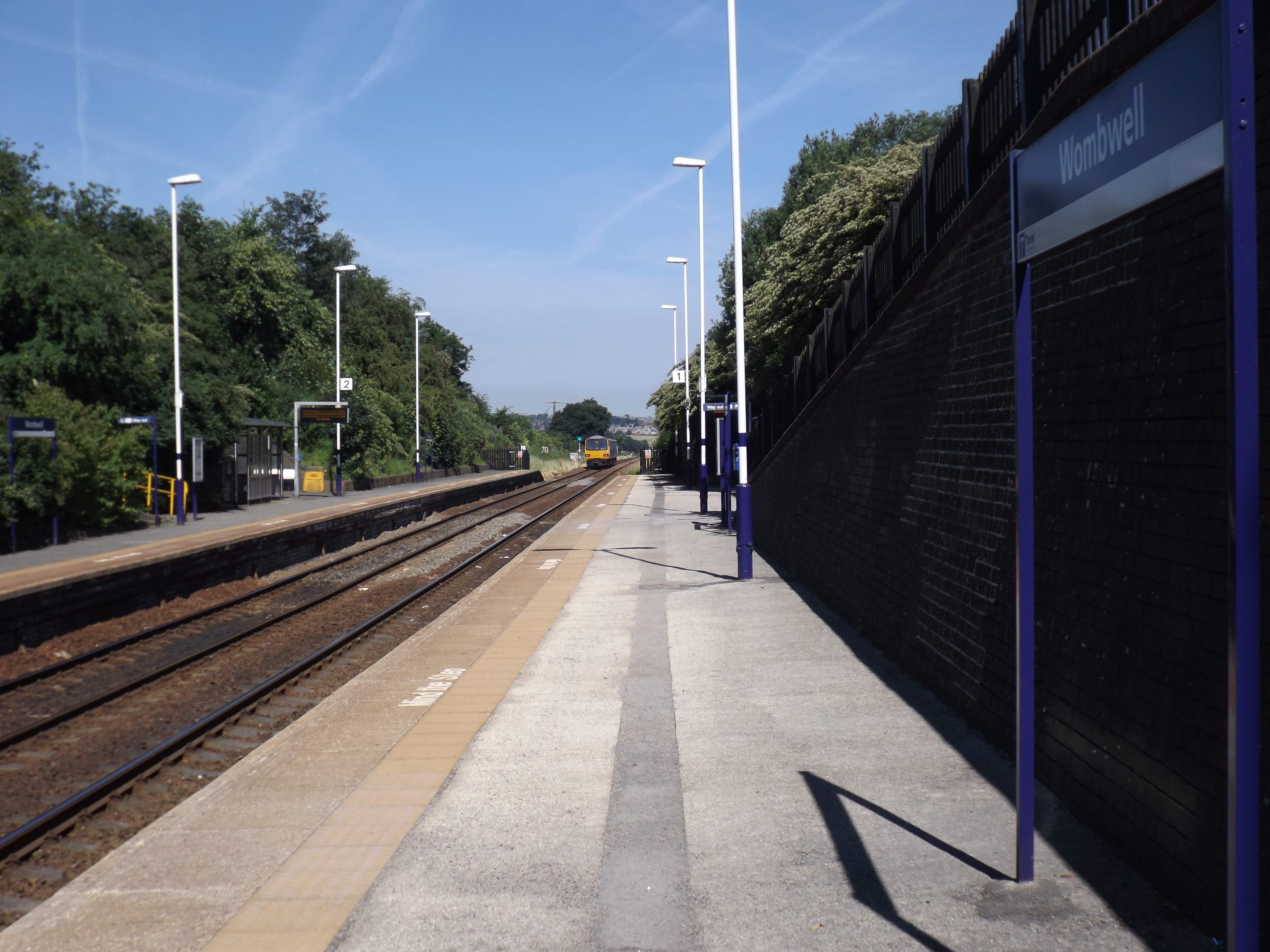
Wombwell railway station
Wombwell railway station is a railway station serving the town of Wombwell in South Yorkshire, England. The station is 12 miles (19 km) north of Sheffield...
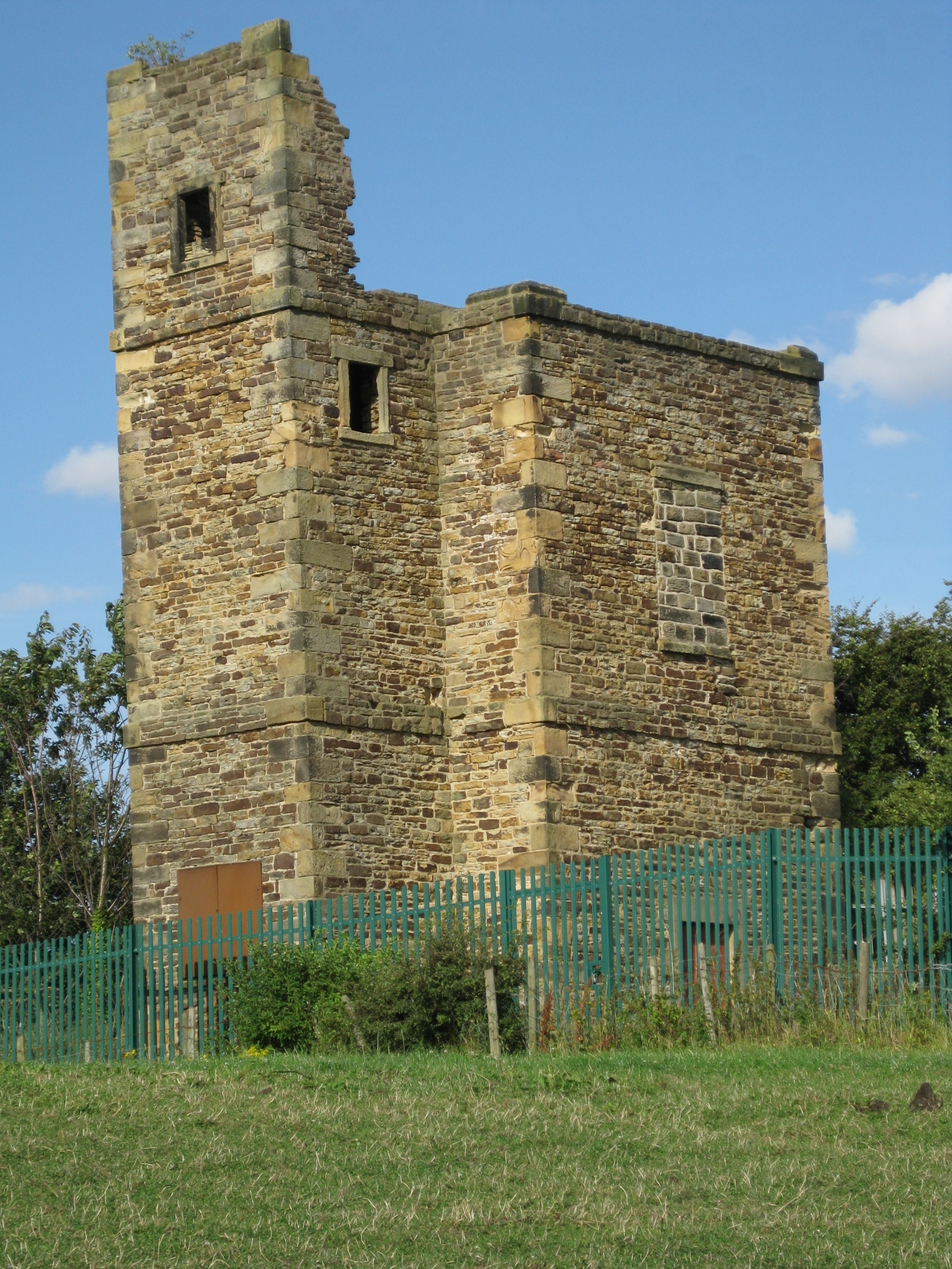
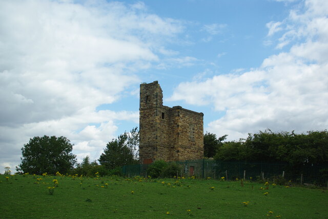
Lowe Stand
Lowe Stand is an 18th-century folly built for Thomas Watson-Wentworth, 1st Marquess of Rockingham, and likely originally intended as a hunting lodge. It...
Nearby Amenities
Located within 500m of 53.509192,-1.433057Have you been to Roebuck Hill?
Leave your review of Roebuck Hill below (or comments, questions and feedback).