Cockstone Hill
Hill, Mountain in Yorkshire Harrogate
England
Cockstone Hill
Cockstone Hill is a prominent hill located in Yorkshire, England. Situated in the beautiful Yorkshire Dales, this hill is a popular destination for hikers, nature enthusiasts, and those seeking breathtaking views of the surrounding landscape.
With an elevation of around 1,280 feet (390 meters), Cockstone Hill is not classified as a mountain but rather a distinct hill in the region. The hill is characterized by its steep slopes, rocky outcrops, and lush greenery, which adds to its rugged charm. The name "Cockstone" is derived from the Old English word "coc," meaning a heap or mound, and "stan," meaning stone, referring to the large rocks found on the hill.
The summit of Cockstone Hill offers panoramic views of the Yorkshire Dales National Park, showcasing the rolling hills, meandering rivers, and picturesque valleys that define the region. On a clear day, visitors can even catch a glimpse of the distant Pennine Mountains.
The area surrounding Cockstone Hill is rich in wildlife, with various bird species, mammals, and plant life calling it home. It is not uncommon to spot red grouse, curlews, and lapwings during a hike up the hill. Additionally, the hill is adorned with vibrant wildflowers, including heather and bilberry, which add to the scenic beauty of the area.
Cockstone Hill is easily accessible by foot, and there are several well-marked trails that lead to the summit. Whether it's for a leisurely stroll or a more challenging hike, visitors to Cockstone Hill are guaranteed to be rewarded with stunning views and a memorable outdoor experience.
If you have any feedback on the listing, please let us know in the comments section below.
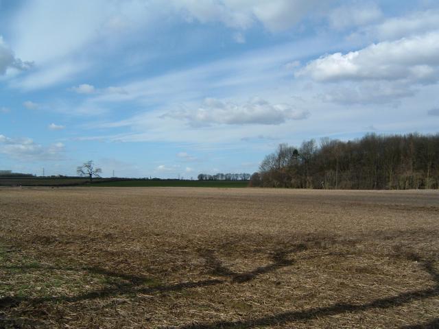
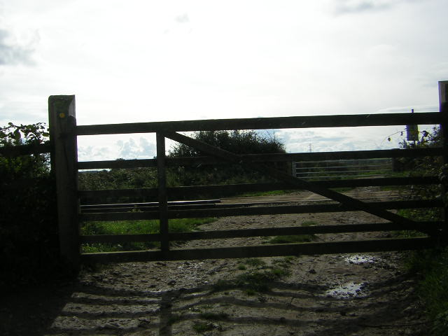
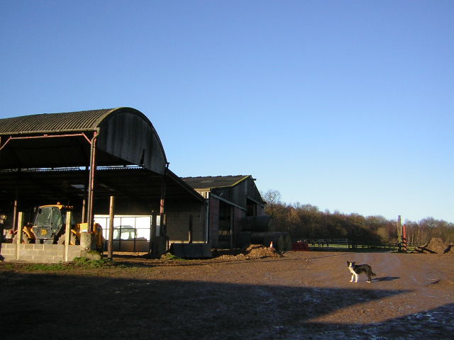
Cockstone Hill Images
Images are sourced within 2km of 54.00122/-1.4271123 or Grid Reference SE3756. Thanks to Geograph Open Source API. All images are credited.


Cockstone Hill is located at Grid Ref: SE3756 (Lat: 54.00122, Lng: -1.4271123)
Division: West Riding
Administrative County: North Yorkshire
District: Harrogate
Police Authority: North Yorkshire
What 3 Words
///elect.dabbing.masking. Near Knaresborough, North Yorkshire
Nearby Locations
Related Wikis
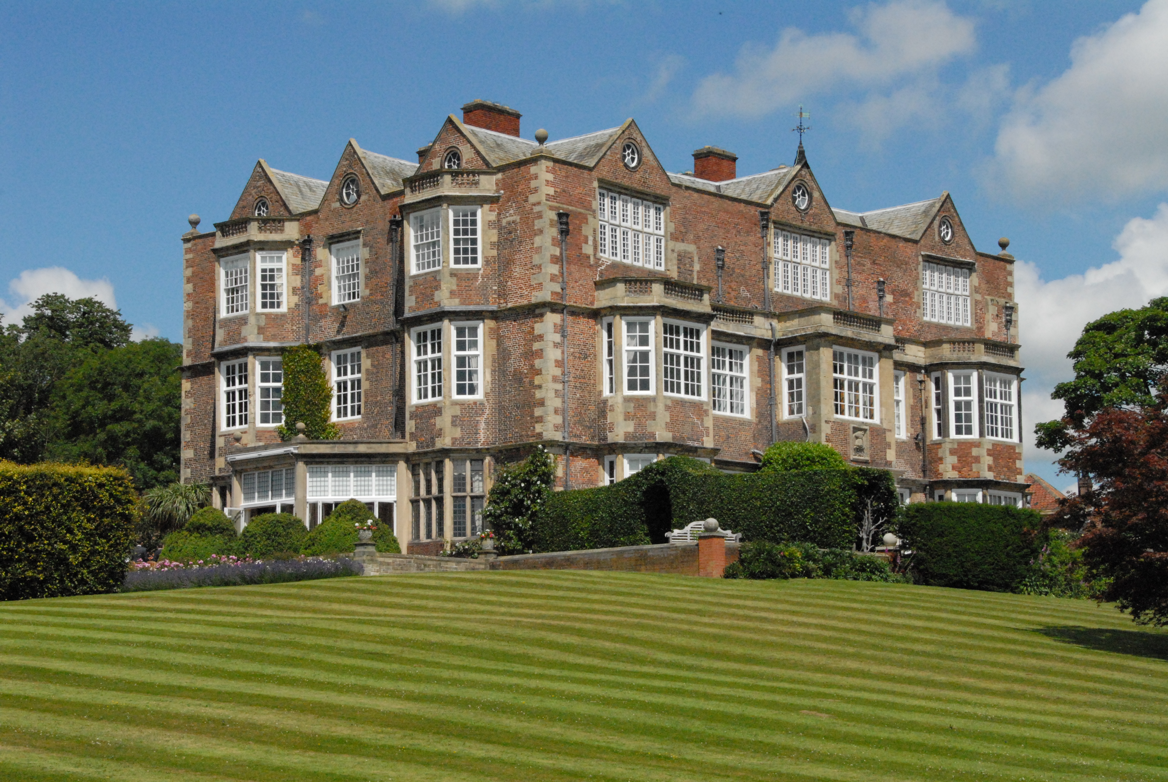
Goldsborough Hall
Goldsborough Hall is a Jacobean stately home located in the village of Goldsborough, North Yorkshire, England. It is a member of the Historic Houses Association...

Goldsborough, Harrogate
Goldsborough is a village and civil parish in North Yorkshire, England. It is situated near the River Nidd and one mile (1.6 km) east of Knaresborough...

Knaresborough Town A.F.C.
Knaresborough Town Association Football Club is a football club based in Knaresborough, North Yorkshire, England. They are currently members of the Northern...
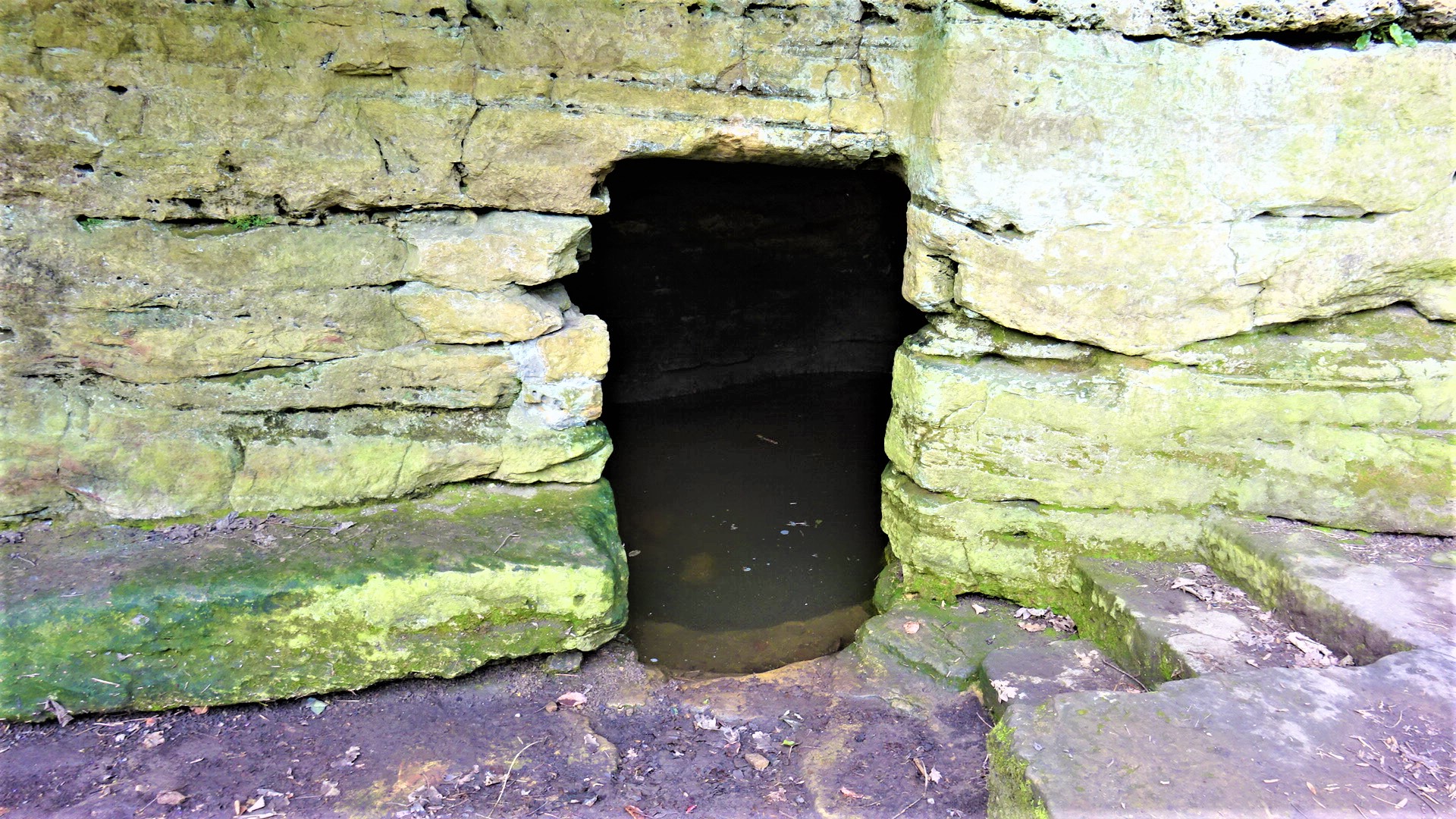
St Robert's Cave and Chapel of the Holy Cross
The early 13th century St Robert's Cave and Chapel of the Holy Cross also known with variants such as St Robert's Chapel and Chapel of the Holy Rood are...
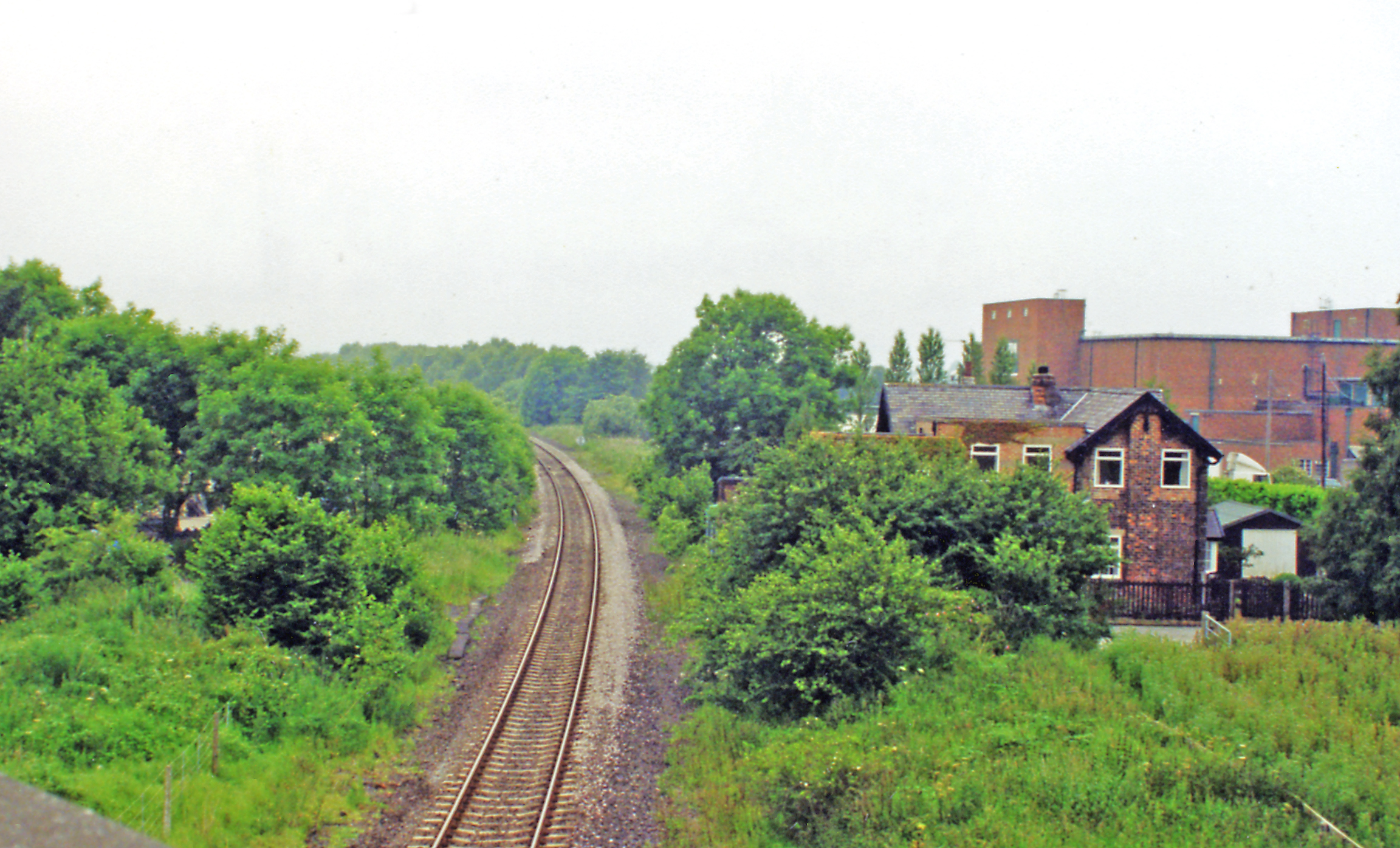
Goldsborough railway station
Goldsborough railway station served the village of Goldsborough, North Yorkshire, England from 1850 to 1965 on the Harrogate line. The station was over...

Coneythorpe
Coneythorpe is a village in the civil parish of Coneythorpe and Clareton, in North Yorkshire, England. It is situated less than 1 mile (1.6 km) west from...
Knaresborough Hay Park Lane railway station
Knaresborough Hay Park Lane railway station was a temporary railway station that served the town of Knaresborough, North Yorkshire, England from 1848 to...
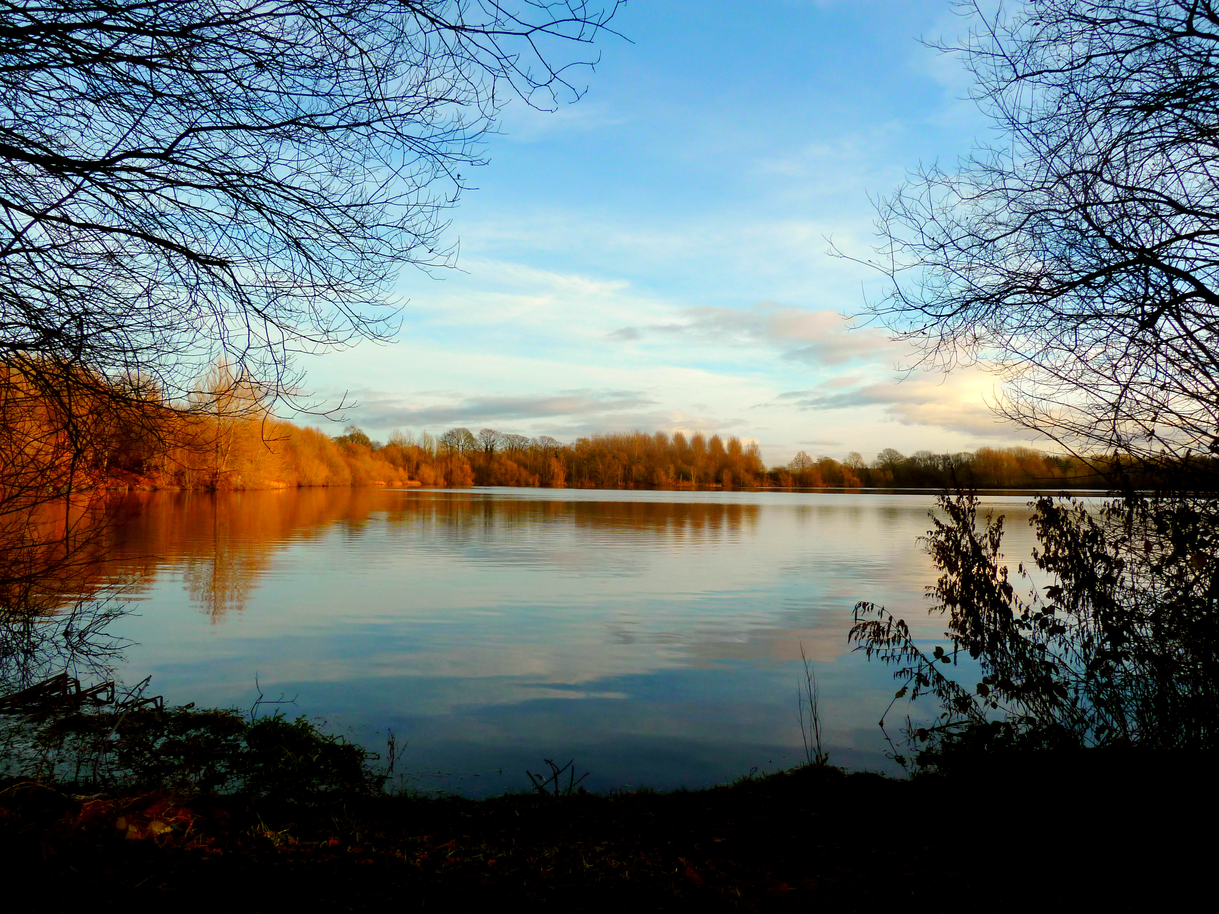
Hay-a-Park Gravel Pit
Hay-a-Park Gravel Pit is a Site of Special Scientific Interest, or SSSI, adjacent to the east side of the town of Knaresborough, North Yorkshire, England...
Nearby Amenities
Located within 500m of 54.00122,-1.4271123Have you been to Cockstone Hill?
Leave your review of Cockstone Hill below (or comments, questions and feedback).