Drum Hill
Hill, Mountain in Derbyshire Erewash
England
Drum Hill

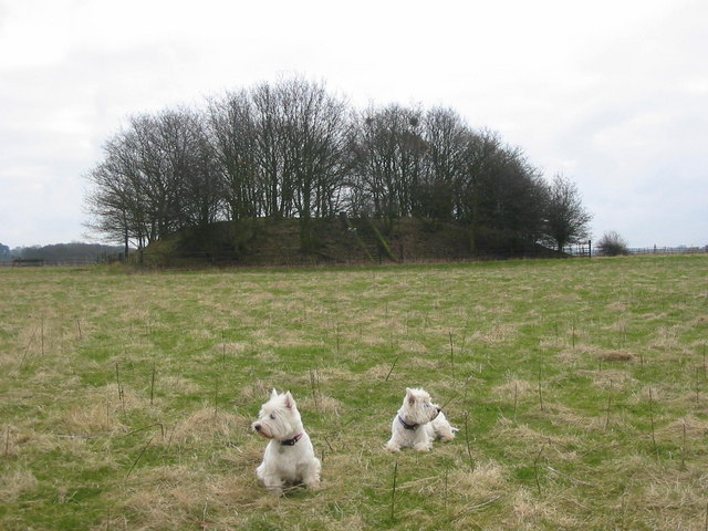
Drum Hill is a prominent hill located in Derbyshire, England. It is situated in the southern part of the county, near the village of Little Eaton, and is part of the Pennine range. With an elevation of 250 meters (820 feet), it offers stunning panoramic views of the surrounding landscape.
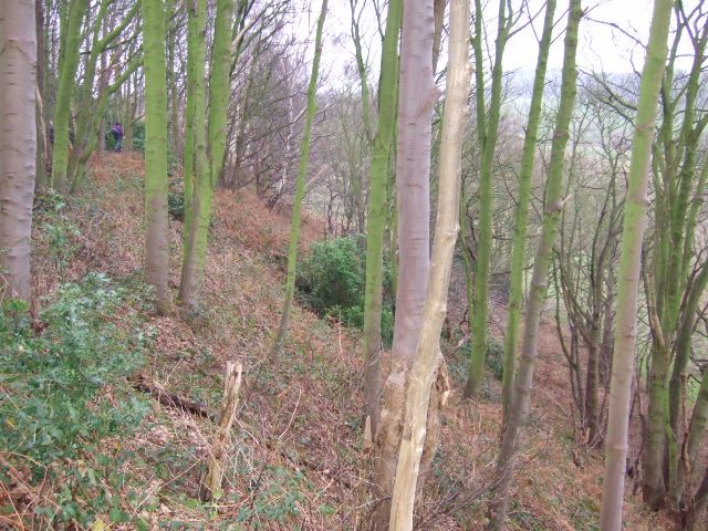
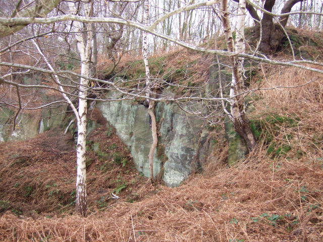
The hill is primarily composed of millstone grit, a type of sandstone that is prevalent in this region. It is characterized by its rugged and rocky terrain, with steep slopes and craggy outcrops. These geological features make Drum Hill a popular destination for hikers, nature enthusiasts, and rock climbers.
The summit of Drum Hill is adorned with a trig point, which serves as a marker for surveying purposes. From this vantage point, visitors can enjoy breathtaking vistas that stretch across the Derwent Valley and the rolling hills of Derbyshire. On clear days, it is even possible to catch a glimpse of the Peak District National Park in the distance.
The area surrounding Drum Hill is rich in flora and fauna. The hill is covered in heather, grasses, and scattered trees, providing a habitat for a variety of wildlife. Visitors may encounter birds such as kestrels, buzzards, and pheasants, as well as small mammals like rabbits and foxes.
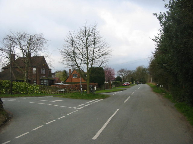
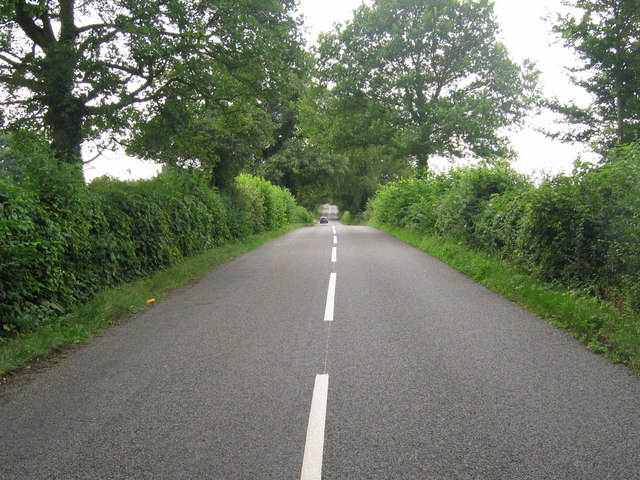
Drum Hill is easily accessible by foot, with several footpaths leading to its summit. It is a popular destination for outdoor activities such as walking, running, and picnicking. Being just a short distance from the city of Derby, it is a cherished natural landmark for locals and tourists alike.
If you have any feedback on the listing, please let us know in the comments section below.
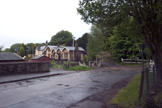
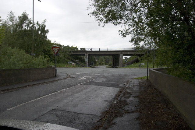
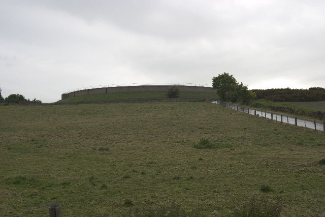
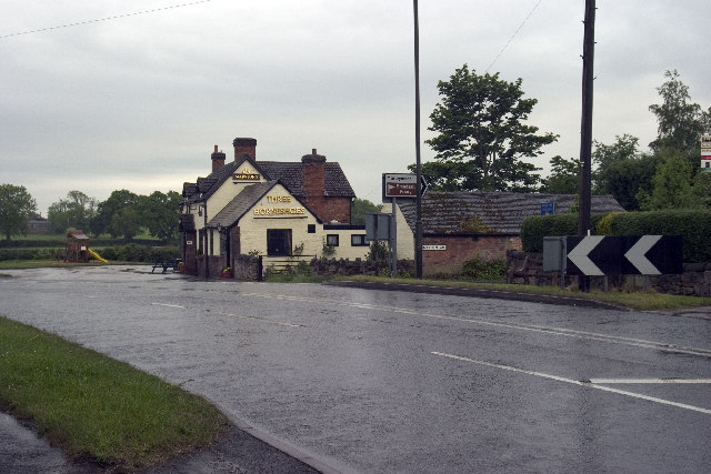
Drum Hill Images
Images are sourced within 2km of 52.975133/-1.4424955 or Grid Reference SK3742. Thanks to Geograph Open Source API. All images are credited.


Drum Hill is located at Grid Ref: SK3742 (Lat: 52.975133, Lng: -1.4424955)
Administrative County: Derbyshire
District: Erewash
Police Authority: Derbyshire
What 3 Words
///curving.mint.rather. Near Little Eaton, Derbyshire
Nearby Locations
Related Wikis

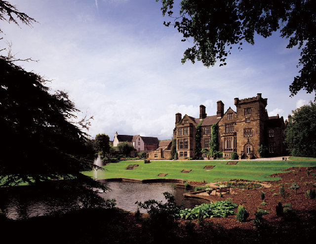
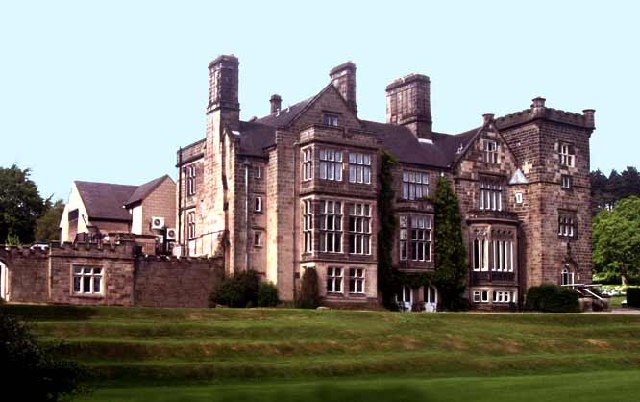
Breadsall Priory
Breadsall Priory is a former Augustinian priory in Derbyshire, situated around two kilometres north of Breadsall, and two kilometres east of Little Eaton...

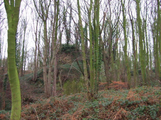
Horston Castle
Horston Castle (sometimes spelt Horeston and also known as Horsley Castle) is about 1 mile to the south of the village of Horsley, some 5 miles north of...
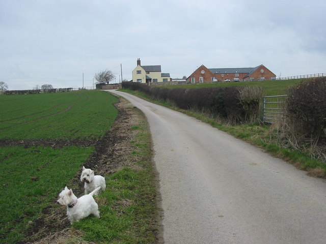
Little Eaton
Little Eaton is a village and civil parish in the borough of Erewash, Derbyshire, England. The population as taken at the 2011 Census was 2,430. The name...

Brackley Gate
Brackley Gate is a hamlet in the Erewash district, in Derbyshire, England. It forms part of the civil parish of Morley. It is located northeast of Derby...

Coxbench railway station
Coxbench railway station was a railway station which served the village of Coxbench in Derbyshire, England. It was opened by the Midland Railway in 1856...
Coxbench Hall
Coxbench Hall is a late 18th-century country house, now in use as a residential home for the elderly, situated at Holbrook, Amber Valley, Derbyshire. It...
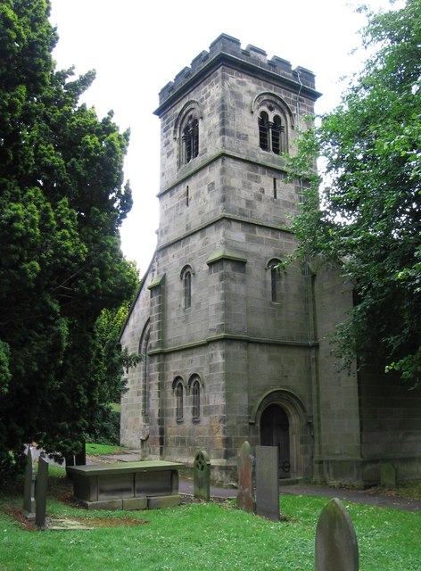
St Paul's Church, Little Eaton
St Paul's Church, Little Eaton is a Grade II listed parish church in the Church of England in Little Eaton, Derbyshire. == History == Construction of the...

Little Eaton railway station
Little Eaton railway station was a railway station which served the village of Little Eaton in Derbyshire, England. It was opened in 1856 by the Midland...
Nearby Amenities
Located within 500m of 52.975133,-1.4424955Have you been to Drum Hill?
Leave your review of Drum Hill below (or comments, questions and feedback).