Butter Hill
Hill, Mountain in Oxfordshire Cherwell
England
Butter Hill
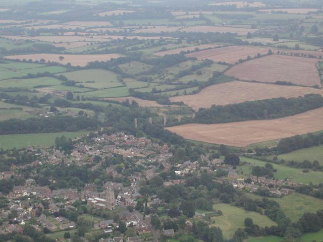
Butter Hill is a prominent hill located in the county of Oxfordshire, England. It stands at an elevation of approximately 232 meters (761 feet) above sea level and is situated near the village of Stanton Harcourt, about 14 kilometers (9 miles) west of Oxford city center.
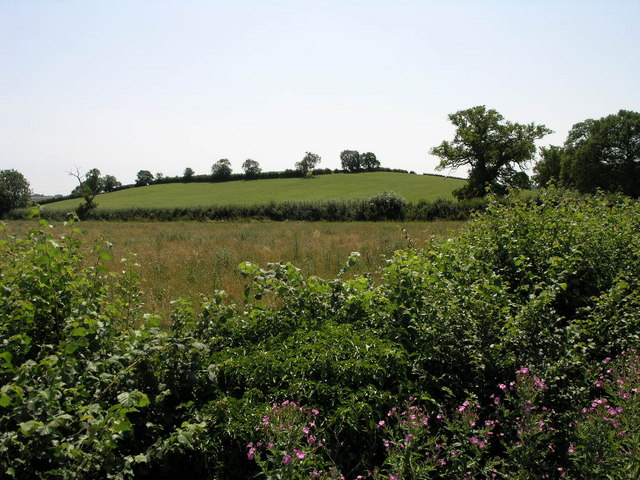
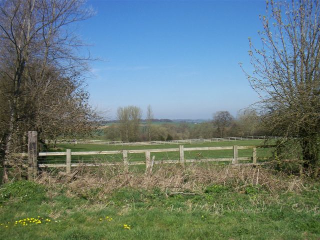
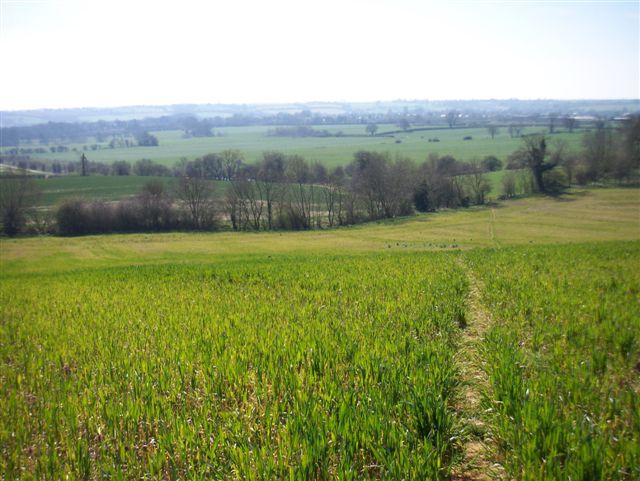
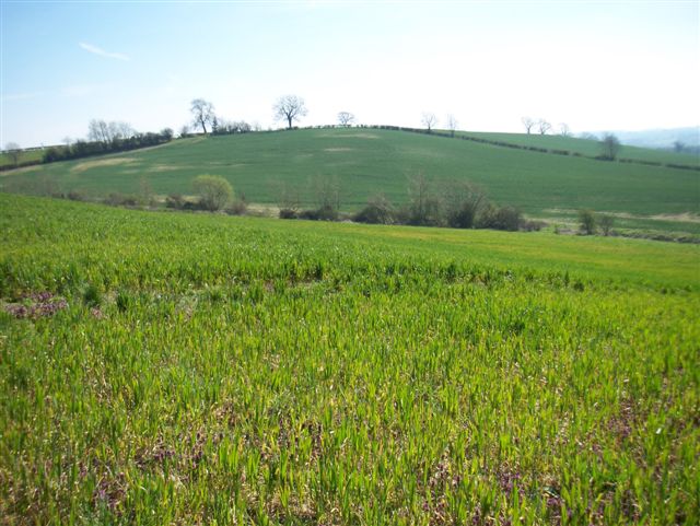
The hill is known for its picturesque landscape and offers panoramic views of the surrounding countryside. It is part of the larger Oxfordshire Cotswolds, a designated Area of Outstanding Natural Beauty, which attracts hikers, walkers, and nature enthusiasts.
Butter Hill is covered in lush green grass and is home to a variety of plant and animal species. The vegetation consists of a mix of grasses, wildflowers, and some scattered trees. The hill is particularly renowned for its vibrant display of wildflowers during the spring and summer months, including bluebells, daisies, and buttercups.
At the summit of Butter Hill, there is a trig point, which serves as a navigational marker. This feature is often used by surveyors and hikers to determine their location and to enjoy the panoramic vistas that stretch across the surrounding countryside.
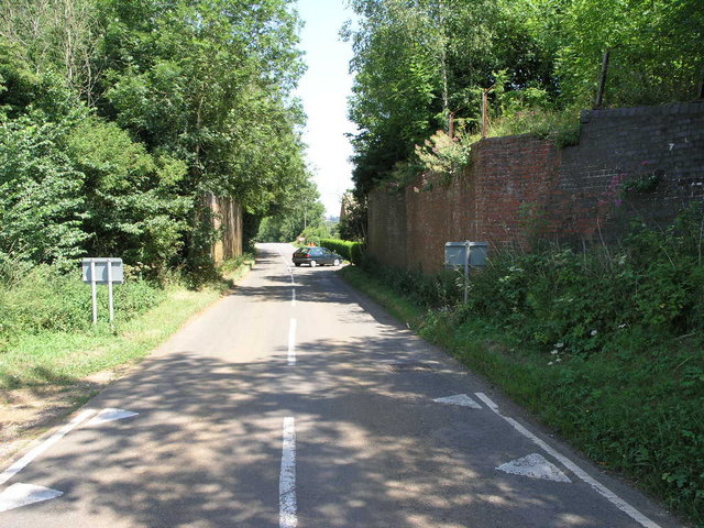
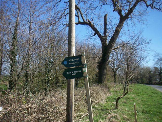
Accessible via footpaths and trails, Butter Hill provides ample opportunities for outdoor activities such as hiking, picnicking, and photography. Its tranquil setting and natural beauty make it a popular destination for locals and visitors alike, seeking a peaceful escape from the hustle and bustle of urban life.
Overall, Butter Hill in Oxfordshire offers a serene environment, breathtaking views, and a chance to immerse oneself in the natural wonders of the region.
If you have any feedback on the listing, please let us know in the comments section below.
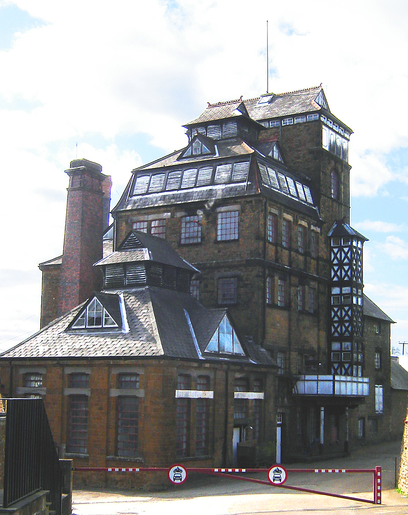
Butter Hill Images
Images are sourced within 2km of 51.999334/-1.4559162 or Grid Reference SP3733. Thanks to Geograph Open Source API. All images are credited.


Butter Hill is located at Grid Ref: SP3733 (Lat: 51.999334, Lng: -1.4559162)
Administrative County: Oxfordshire
District: Cherwell
Police Authority: Thames Valley
What 3 Words
///prank.trying.surfaces. Near Hook Norton, Oxfordshire
Nearby Locations
Related Wikis

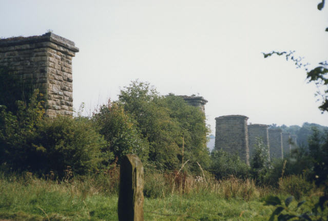
Hook Norton ironstone quarries (Brymbo)
The Hook Norton ironstone quarries (Brymbo) were ironstone quarries near Hook Norton in Oxfordshire, England. The quarries were in operation from 1899...

Hook Norton railway station
Hook Norton railway station served the village of Hook Norton in northern Oxfordshire, England. == History == The station was built for the Banbury and...

Wigginton, Oxfordshire
Wigginton is a village and civil parish about 6 miles (10 km) southwest of Banbury in Oxfordshire. The village is beside the River Swere, which forms the...
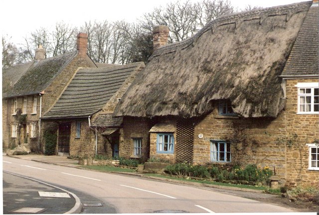
Hook Norton
Hook Norton is a village and civil parish in Oxfordshire, England. It lies 4+1⁄2 miles (7 km) northeast of Chipping Norton, close to the Cotswold Hills...
Related Videos

VISITING MUSEUM 🍺🍻 / PINAY IN THE UK
Hey everyone! Thanks for watching my videos I'm using my iPhone11 for my Vlogs! Don't forget to like and subscribe many thanks ...
D'arcy Dalton Highway
Hiking in the Cotswolds.

I TOOK MY MUM GLAMPING
Day trip and over night stay to the beautiful area of Swerford, just outside Banbury and Oxford. Found this lovely location/stay on ...

From Floor to Flight: a joyful outdoor yoga event in a woodland tipi!
A trailer movie from our creative & joyful yoga workshop in a fabulous tipi surrounded by stunning woodland! This workshop was ...
Nearby Amenities
Located within 500m of 51.999334,-1.4559162Have you been to Butter Hill?
Leave your review of Butter Hill below (or comments, questions and feedback).