Thorntree Hill

Hill, Mountain in Yorkshire

England

Thorntree Hill

Small winding wheel in Walton Colliery Nature Park The wheel marks the history of Walton Colliery (formerly Sharlston West) which operated between 1890 & 1979
Small winding wheel in Walton Colliery Nature Park Credit: Graham Hogg

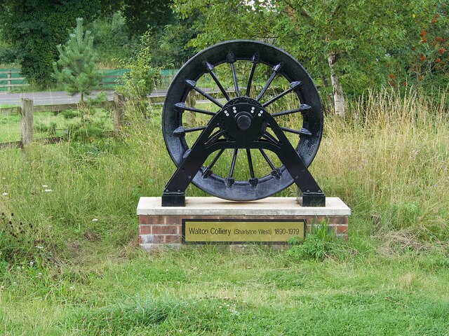
Thorntree Hill is a prominent hill located in Yorkshire, England. It is part of the beautiful Yorkshire Dales National Park, known for its stunning landscapes and picturesque views. The hill rises to an elevation of approximately 400 meters, making it a popular destination for hikers and nature enthusiasts.

Thorntree Hill is covered in lush greenery, with a variety of plants and wildlife thriving in its natural habitat. Visitors to the hill can expect to see a mix of grassy slopes, rocky outcrops, and wooded areas, providing a diverse and scenic setting for outdoor activities.

At the summit of Thorntree Hill, visitors are rewarded with panoramic views of the surrounding countryside, including rolling hills, quaint villages, and distant mountains. On a clear day, it is possible to see for miles around, making it a perfect spot for taking in the beauty of the Yorkshire landscape.

Overall, Thorntree Hill is a peaceful and picturesque destination for those looking to escape the hustle and bustle of city life and immerse themselves in the tranquility of nature.

If you have any feedback on the listing, please let us know in the comments section below.

Thorntree Hill Images

Images are sourced within 2km of 53.649326/-1.4456881 or Grid Reference SE3617. Thanks to Geograph Open Source API. All images are credited.

Small winding wheel in Walton Colliery Nature Park The wheel marks the history of Walton Colliery (formerly Sharlston West) which operated between 1890 & 1979
Small winding wheel in Walton Colliery Nature Park
The wheel marks the history of Walton Colliery (formerly Sharlston West) which operated between 1890 & 1979
Peak & Northern Footpaths Society sign #361 One of several signs erected by the society on footpaths around Anglers Country Park.
Peak & Northern Footpaths Society sign #361
One of several signs erected by the society on footpaths around Anglers Country Park.
Peak & Northern Footpaths Society sign #361 One of several signs erected by the society on footpaths around Anglers Country Park.  For detail see <a href="https://www.geograph.org.uk/photo/6923222">SE3716 : Peak & Northern Footpaths Society sign #361</a>
Peak & Northern Footpaths Society sign #361
One of several signs erected by the society on footpaths around Anglers Country Park. For detail see SE3716 : Peak & Northern Footpaths Society sign #361
Peak & Northern Footpaths Society sign #362 One of several signs erected by the society on footpaths around Anglers Country Park. For detail see <a href="https://www.geograph.org.uk/photo/6923278">SE3816 : Peak & Northern Footpaths Society sign #362</a>
Peak & Northern Footpaths Society sign #362
One of several signs erected by the society on footpaths around Anglers Country Park. For detail see SE3816 : Peak & Northern Footpaths Society sign #362
Peak & Northern Footpaths Society sign #362 One of several signs erected by the society on footpaths around Anglers Country Park.
Peak & Northern Footpaths Society sign #362
One of several signs erected by the society on footpaths around Anglers Country Park.
Perching gulls Beside the lake in Anglers Country Park.
Perching gulls
Beside the lake in Anglers Country Park.
Peak & Northern Footpaths Society sign #364 One of several signs erected by the society on footpaths around Anglers Country Park. For detail see <a href="https://www.geograph.org.uk/photo/6923282">SE3715 : Peak & Northern Footpaths Society sign #364</a>]
Peak & Northern Footpaths Society sign #364
One of several signs erected by the society on footpaths around Anglers Country Park. For detail see SE3715 : Peak & Northern Footpaths Society sign #364]
Peak & Northern Footpaths Society sign #364 One of several signs erected by the society on footpaths around Anglers Country Park.
Peak & Northern Footpaths Society sign #364
One of several signs erected by the society on footpaths around Anglers Country Park.
Peak & Northern Footpaths Society sign #363 One of several signs erected by the society on footpaths around Anglers Country Park.
Peak & Northern Footpaths Society sign #363
One of several signs erected by the society on footpaths around Anglers Country Park.
Shay Lane railway viaduct Is the new brickwork in the arch for strength or does it serve some other purpose?
Shay Lane railway viaduct
Is the new brickwork in the arch for strength or does it serve some other purpose?
The Barnsley Canal near Waterton Park
Bridge over the abandoned Barnsley Canal It carries the Trans Pennine Trail between Walton and Haw Park.
Bridge over the abandoned Barnsley Canal
It carries the Trans Pennine Trail between Walton and Haw Park.
Former lock on the abandoned Barnsley Canal There were twelve locks on the canal at Walton but the remains of only two can be seen today.
Former lock on the abandoned Barnsley Canal
There were twelve locks on the canal at Walton but the remains of only two can be seen today.
Former lock on the abandoned Barnsley Canal There were twelve locks on the canal at Walton but the remains of only two can be seen today.
Former lock on the abandoned Barnsley Canal
There were twelve locks on the canal at Walton but the remains of only two can be seen today.
Former chapel on Hare Park Lane A stone dates the building to 1866 and an inscription reads 
'PRAY FOR THE PEACE OF JERUSALEM 
THEY SHALL PROSPER THAT LOVE THEE 
PEACE BE WITHIN THY WALLS 
AND PROSPERITY WITHIN THY PLACES'
Former chapel on Hare Park Lane
A stone dates the building to 1866 and an inscription reads 'PRAY FOR THE PEACE OF JERUSALEM THEY SHALL PROSPER THAT LOVE THEE PEACE BE WITHIN THY WALLS AND PROSPERITY WITHIN THY PLACES'
Speed limit signs on Crofton High Street Here the speed limit changes from 20 to 30 mph.
Speed limit signs on Crofton High Street
Here the speed limit changes from 20 to 30 mph.
The lake in Anglers Country Park The country park was created in 1986 on the site of one of the UK's deepest open cast coal mines.
The lake in Anglers Country Park
The country park was created in 1986 on the site of one of the UK's deepest open cast coal mines.
The lake in Anglers Country Park The country park was created in 1986 on the site of one of the UK's deepest open cast coal mines.
The lake in Anglers Country Park
The country park was created in 1986 on the site of one of the UK's deepest open cast coal mines.
Show me another place!

Thorntree Hill is located at Grid Ref: SE3617 (Lat: 53.649326, Lng: -1.4456881)

Division: West Riding

Unitary Authority: Wakefield

Police Authority: West Yorkshire

What 3 Words

///hatter.perch.probing. Near Crofton, West Yorkshire

Nearby Locations

Shay Hill Thorntree Hill

Related Wikis

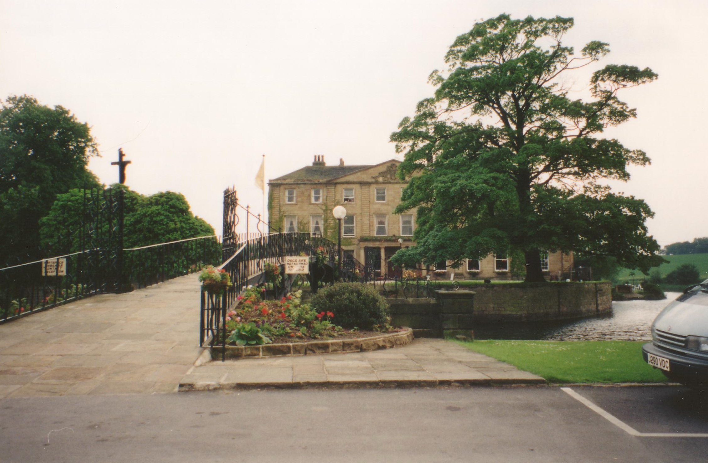
Walton Hall, West Yorkshire

Walton Hall is a country house in Walton near Wakefield in West Yorkshire, England. It was built on the site of a former moated medieval hall in the Palladian...

Walton, Wakefield

Walton is a village and civil parish in the City of Wakefield in the county of West Yorkshire, England, 4 miles south-east of Wakefield. At the time of...

Hare Park & Crofton railway station

Hare Park & Crofton railway station, sometimes just known as Crofton railway station, was a station located on the West Riding and Grimsby Railway, this...

Crofton Academy

Crofton Academy (formerly Crofton High School) is an 11-16 state secondary school outside Wakefield in West Yorkshire, England. The school is also an academy...

Nearby Amenities

Located within 500m of 53.649326,-1.4456881
Golf: pin
Lat/Long: 53.6474569/-1.4517222
Golf: pin
Lat/Long: 53.6450005/-1.4476272
Golf: pin
Lat/Long: 53.6467669/-1.4503254
Power: pole
Lat/Long: 53.6513357/-1.4402946
The data included in this document is from www.openstreetmap.org. The data is made available under ODbL.

Have you been to Thorntree Hill?

Leave your review of Thorntree Hill below (or comments, questions and feedback).