Bulmerside Hill
Hill, Mountain in Durham
England
Bulmerside Hill
Bulmerside Hill is a prominent feature located in County Durham, England. Situated in the northern region of the county, it is part of the North Pennines Area of Outstanding Natural Beauty. Standing at an elevation of approximately 460 meters (1,509 feet), Bulmerside Hill is considered more of a hill than a mountain, but its impressive height provides breathtaking views of the surrounding landscape.
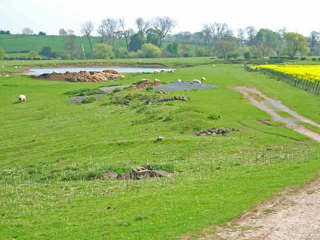
The terrain of Bulmerside Hill is mainly composed of grassy slopes, with some scattered areas of heather and bracken. Its slopes are relatively gentle, making it accessible to hikers and walkers of various abilities. The hill is known for its rich biodiversity, with various species of flora and fauna thriving in the area. Visitors to Bulmerside Hill can often spot birds such as curlews, golden plovers, and merlins, as well as the occasional hare or deer.
One of the highlights of Bulmerside Hill is the panoramic vista it offers. From its summit, on a clear day, one can behold stunning views of the surrounding countryside, including the Teesdale Valley to the west and the Durham Dales to the east. The hill also provides an excellent vantage point to observe the nearby High Force waterfall, one of England's most impressive waterfalls.
Bulmerside Hill is a popular destination for outdoor enthusiasts and nature lovers alike. Its stunning natural beauty, combined with its accessibility and diverse wildlife, make it an ideal location for a day of hiking, picnicking, or simply enjoying the peaceful ambiance of the North Pennines.
If you have any feedback on the listing, please let us know in the comments section below.
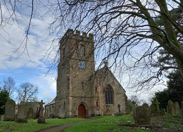
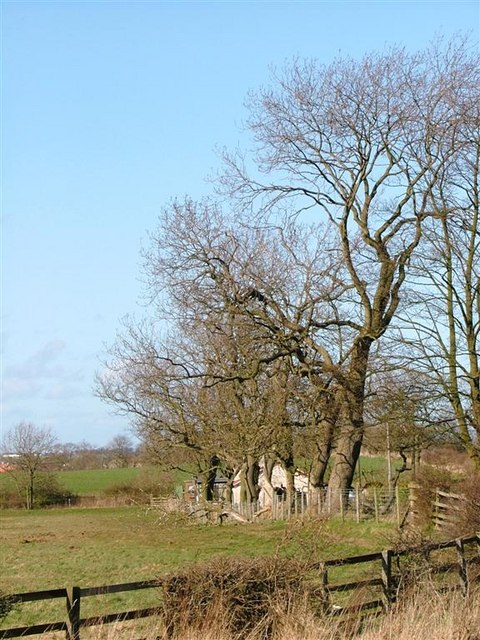
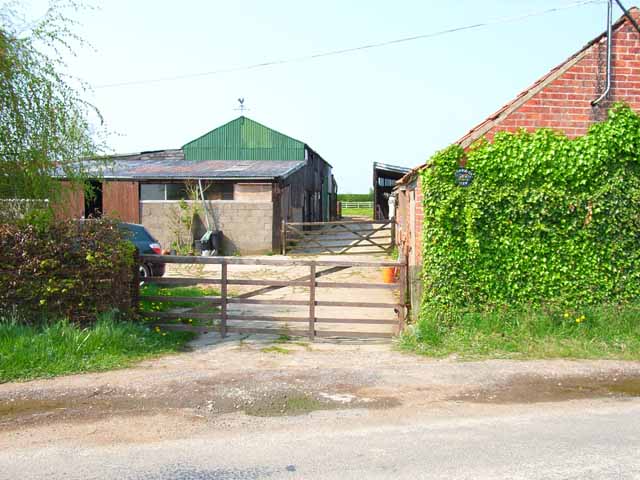
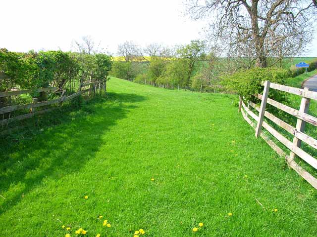
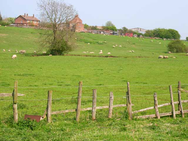
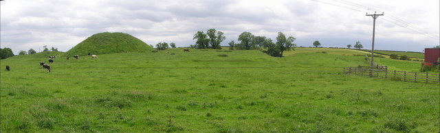
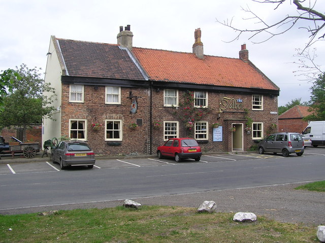
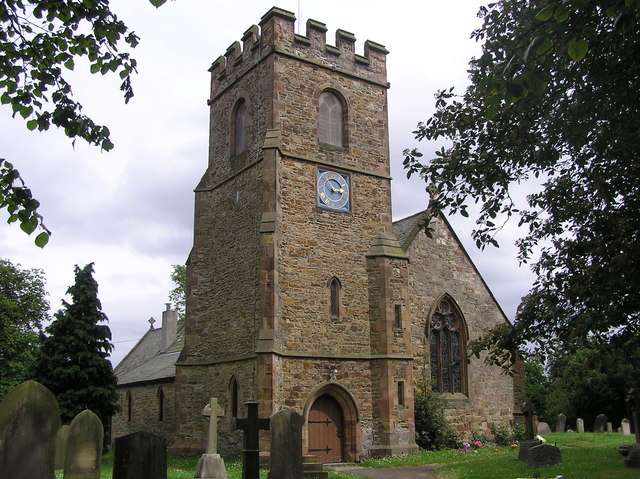
Bulmerside Hill Images
Images are sourced within 2km of 54.591352/-1.4434558 or Grid Reference NZ3621. Thanks to Geograph Open Source API. All images are credited.


Bulmerside Hill is located at Grid Ref: NZ3621 (Lat: 54.591352, Lng: -1.4434558)
Unitary Authority: County Durham
Police Authority: Durham
What 3 Words
///complains.mercy.swing. Near Bishopton, Co. Durham
Nearby Locations
Related Wikis
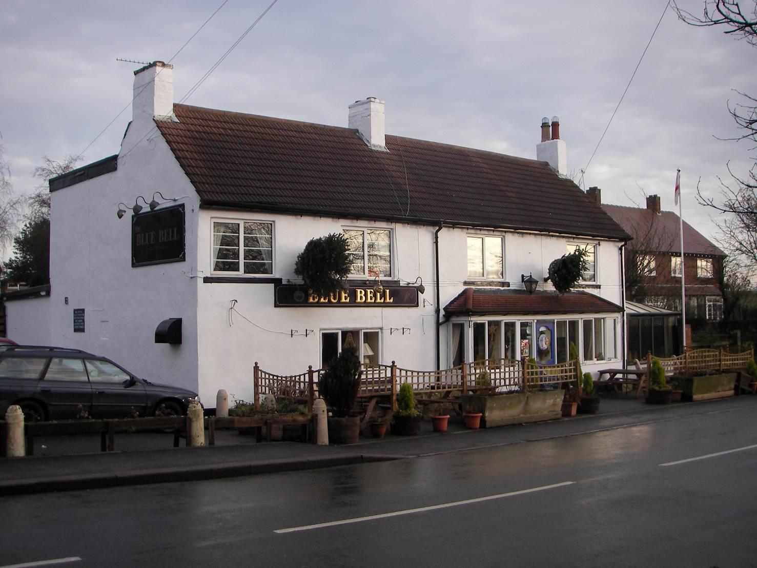
Bishopton, County Durham
Bishopton is a village in the borough of Darlington and the ceremonial county of County Durham, England. It is situated to the west of Stockton-on-Tees...

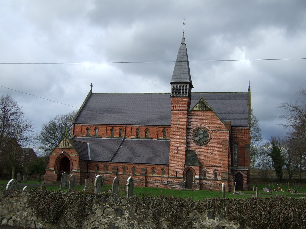
St Peter's Church, Bishopton
St Peter's Church is in the village of Bishopton, County Durham, England. It is an active Anglican parish church in the deanery of Stockton, the archdeaconry...

Old Stillington
Old Stillington is a village in County Durham, in England. It is situated a few miles to the north-west of Stockton-on-Tees, and a short distance from...

Bishopton Castle
Bishopton Castle was a medieval castle in Bishopton village, County Durham, England. The surviving motte is a Scheduled Ancient Monument. == Details... ==
Stillington, County Durham
Stillington is a village and former civil parish, now in the parish of Stillington and Whitton, in the Stockton-on-Tees district, in the ceremonial county...
Little Stainton
Little Stainton is a village in the borough of Darlington and the ceremonial county of County Durham, England. It is a township in the parish of Bishopton...
Whitton, County Durham
Whitton is a village and former civil parish, now in the parish of Stillington and Whitton, the borough of Stockton-on-Tees and the ceremonial county of...

Whitton Bridge Pasture
Whitton Bridge Pasture is a Site of Special Scientific Interest (SSSI) in the unitary authority of Stockton-on-Tees, England. At 3.18 hectares (7.9 acres...
Have you been to Bulmerside Hill?
Leave your review of Bulmerside Hill below (or comments, questions and feedback).