Carlston Hill

Hill, Mountain in Yorkshire Harrogate

England

Carlston Hill

Woodhall Bridge Woodhall Bridge over the River Wharfe
Nr East Keswick
Woodhall Bridge Credit: Martin Norman

Carlston Hill is a prominent hill located in the county of Yorkshire, England. Situated near the village of Carlston, the hill is part of the wider Yorkshire Dales National Park. At an elevation of approximately 420 meters (1,378 feet), Carlston Hill offers breathtaking panoramic views across the surrounding landscape.

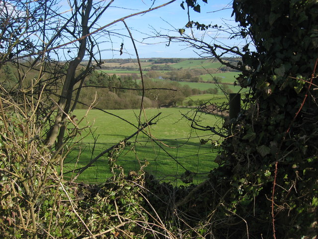
The hill is characterized by its rugged terrain, with a mix of grassy slopes, rocky outcrops, and heather moorland. It is a popular destination for hikers and nature enthusiasts, who can explore the numerous walking trails that crisscross the area. The ascent to the summit can be challenging, but the reward is a spectacular vista of the Yorkshire Dales, including the nearby Three Peaks – Pen-y-ghent, Ingleborough, and Whernside.

The flora and fauna found on Carlston Hill are diverse and unique. The hill is home to a variety of plant species, including heather, bilberry, and cowberry, which provide a colorful display during the summer months. The area also supports a range of wildlife, such as red grouse, curlews, and skylarks, making it a haven for birdwatchers.

Historically, Carlston Hill has played a significant role in the local community. The remains of an Iron Age hillfort can be found on its slopes, showcasing its historical importance as a defensive stronghold. Additionally, the hill has been a source of limestone, which was quarried in the past for construction purposes.

Overall, Carlston Hill is a captivating natural landmark that offers visitors a chance to immerse themselves in the beauty of the Yorkshire Dales while exploring its rich history and biodiversity.

If you have any feedback on the listing, please let us know in the comments section below.

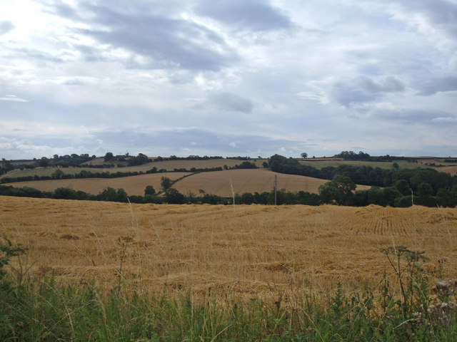
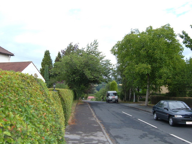
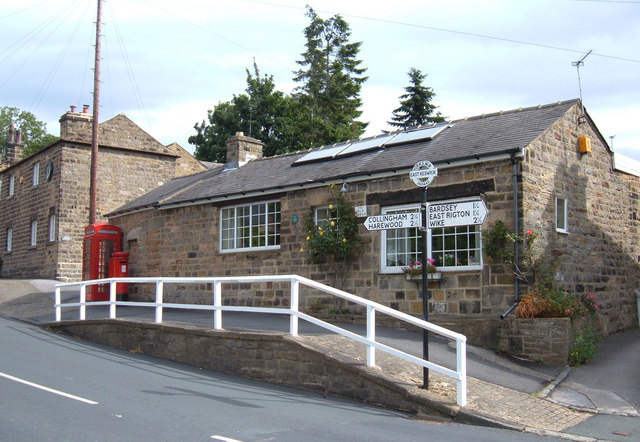
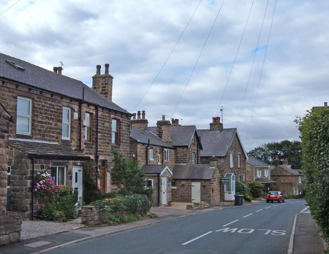
Carlston Hill Images

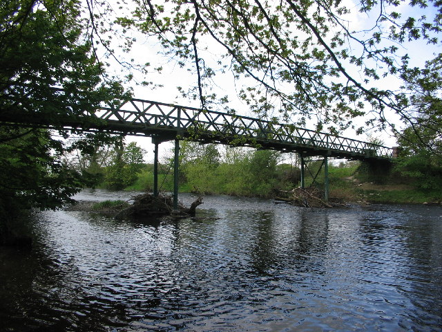
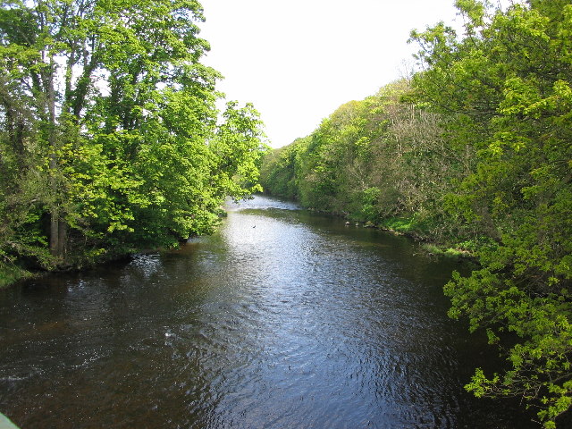
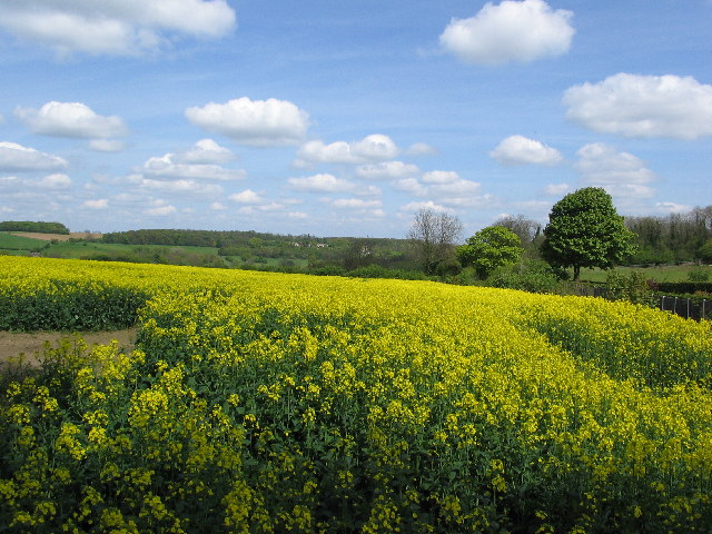
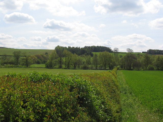
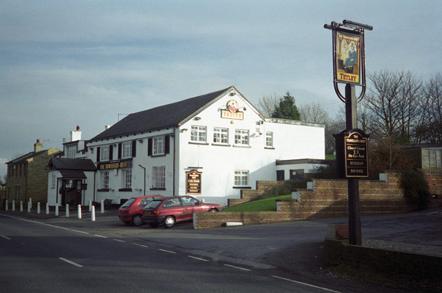
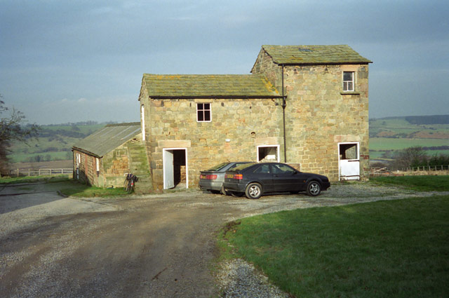
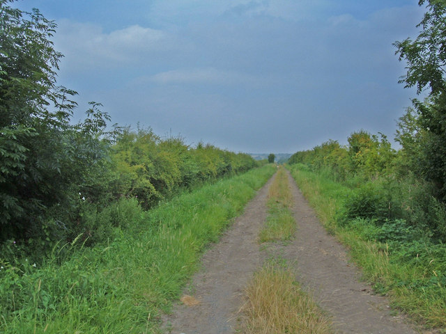
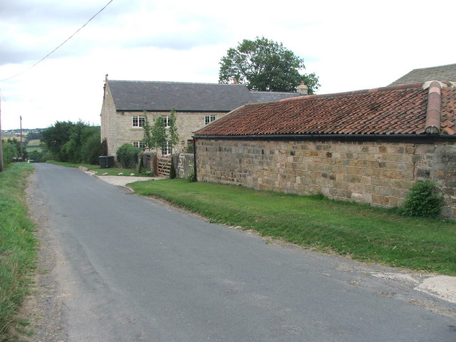
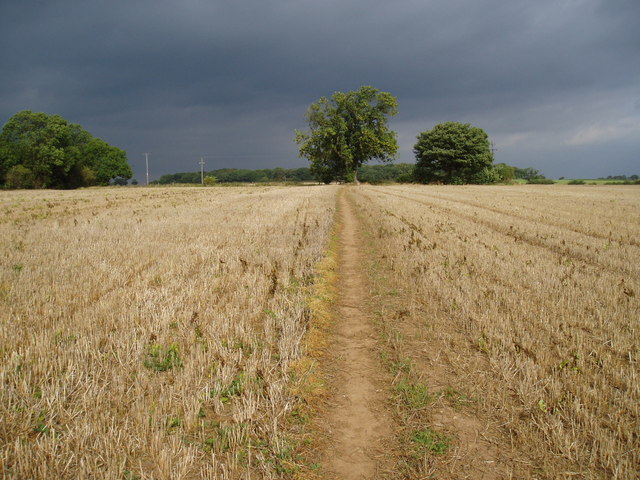
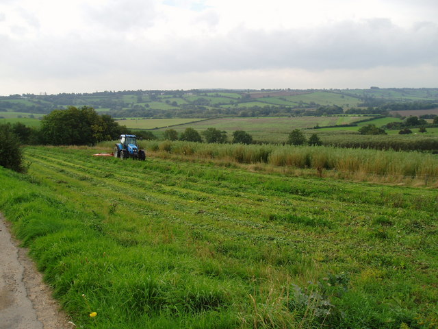
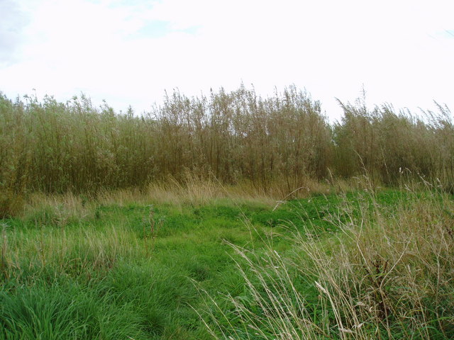
Images are sourced within 2km of 53.9113/-1.4569624 or Grid Reference SE3546. Thanks to Geograph Open Source API. All images are credited.

Woodhall Bridge Woodhall Bridge over the River Wharfe
Nr East Keswick
Woodhall Bridge
Woodhall Bridge over the River Wharfe Nr East Keswick
River Wharfe, Nr East Keswick Woodhall Bridge over the River Wharfe
Nr East Keswick
River Wharfe, Nr East Keswick
Woodhall Bridge over the River Wharfe Nr East Keswick
Field next to A659 just north of East Keswick Field next to A659 just north of East Keswick
Field next to A659 just north of East Keswick
Landscape south west of East Keswick Landscape south west of East Keswick
Landscape south west of East Keswick
"The Travellers Rest" public house On the A659 between Collingham and Harewood
"The Travellers Rest" public house
On the A659 between Collingham and Harewood
Farm buildings at Farfield, East Keswick No longer a working farm
Farm buildings at Farfield, East Keswick
No longer a working farm
Field House, East Keswick This was a working farm when the photograph was taken, but the farm buildings have now been converted to residential properties
Field House, East Keswick
This was a working farm when the photograph was taken, but the farm buildings have now been converted to residential properties
Hedge View Looking through the hedge across the valley from the north-west corner of this square. The River Wharfe is just visible in the distance.
Hedge View
Looking through the hedge across the valley from the north-west corner of this square. The River Wharfe is just visible in the distance.
Bridleway to Spofforth This shot looks back up the last stretch of a 3-mile length of bridleway from Spofforth. The route is a mixture of double-track (like this), singletrack and indistinct lines alongside field boundaries. Great fun. View looking north from the minor road near Clap Gate.
Bridleway to Spofforth
This shot looks back up the last stretch of a 3-mile length of bridleway from Spofforth. The route is a mixture of double-track (like this), singletrack and indistinct lines alongside field boundaries. Great fun. View looking north from the minor road near Clap Gate.
View from the A659 towards Rigton Hill The valley in the middle distance belongs to Collingham Beck, a tributary of the River Wharfe. The Leeds to Wetherby railway line (now dismantled) followed the valley here. The shot is taken from the western end of Collingham's built up area.
View from the A659 towards Rigton Hill
The valley in the middle distance belongs to Collingham Beck, a tributary of the River Wharfe. The Leeds to Wetherby railway line (now dismantled) followed the valley here. The shot is taken from the western end of Collingham's built up area.
Upper Langwith, LS22 Looking north from the street's junction with the A659 (Harewood Road). This street as at the western edge of Collingham and drops down to the River Wharfe. The A659 here is on a ridge between the Wharfe and Collingham Beck.
Upper Langwith, LS22
Looking north from the street's junction with the A659 (Harewood Road). This street as at the western edge of Collingham and drops down to the River Wharfe. The A659 here is on a ridge between the Wharfe and Collingham Beck.
The Old Forge, East Keswick Situated on Main Street opposite the junction with Moor Lane. East Keswick is less than a mile to the south of the A659 to the southwest of Collingham.
The Old Forge, East Keswick
Situated on Main Street opposite the junction with Moor Lane. East Keswick is less than a mile to the south of the A659 to the southwest of Collingham.
Whitegate, East Keswick These cottages are at the northern end of the village. The road through the village descends quite steeply down to Keswick beck at its southern end.
Whitegate, East Keswick
These cottages are at the northern end of the village. The road through the village descends quite steeply down to Keswick beck at its southern end.
Vicarage Farm, East Keswick. On Moor Lane near Harewood, North Leeds.
Vicarage Farm, East Keswick.
On Moor Lane near Harewood, North Leeds.
Footpath
Footpath
Bridleway and sign This bridleway runs beside Sicklinghall House to Woodhall Hotel along the Ebor Way.
Bridleway and sign
This bridleway runs beside Sicklinghall House to Woodhall Hotel along the Ebor Way.
Tractor at work The tractor is cutting an area of grass along the edge of plantation of willows being grown as a renewable energy crop.
Tractor at work
The tractor is cutting an area of grass along the edge of plantation of willows being grown as a renewable energy crop.
Willow Coppice on Paddock House Farm These willows are being grown to provide a source of renewable energy.
Willow Coppice on Paddock House Farm
These willows are being grown to provide a source of renewable energy.
Show me another place!

Carlston Hill is located at Grid Ref: SE3546 (Lat: 53.9113, Lng: -1.4569624)

Division: West Riding

Administrative County: North Yorkshire

District: Harrogate

Police Authority: North Yorkshire

What 3 Words

///fish.combos.scribble. Near East Keswick, West Yorkshire

Related Wikis

Wood Hall Hotel and Spa

Wood Hall Hotel and Spa, Trip Lane, is an AA four-star, 44-room country house hotel with an AA two-rosette restaurant, about one mile from the English...

East Keswick

East Keswick is a village and civil parish in the City of Leeds metropolitan borough, West Yorkshire, England. It lies four miles south west of Wetherby...

Sicklinghall

Sicklinghall is a village and civil parish in North Yorkshire, England that is situated between the town of Wetherby (3 miles (5 km) to the east) and the...

Harewood speed Hillclimb

Harewood speed Hillclimb (the form with italics and a lower-case s is used officially) is a hillclimb near the village of Harewood, West Yorkshire, England...

Nearby Amenities

Located within 500m of 53.9113,-1.4569624
Carlstonhill Farm
Building: farm
Is In Valley: Wharfedale
Lat/Long: 53.911508/-1.4537838
Power: pole
Source: Bing
Lat/Long: 53.9105176/-1.4636229
Power: pole
Source: Bing
Lat/Long: 53.9085305/-1.4541333
Power: pole
Source: Bing
Lat/Long: 53.9095765/-1.4590149
Power: pole
Source: Bing
Lat/Long: 53.9100568/-1.4612787
Carston Hill
Natural: peak
Source: NLS-OS-NatGrid-110k-1940-60
Lat/Long: 53.9111277/-1.4565188
The data included in this document is from www.openstreetmap.org. The data is made available under ODbL.

Have you been to Carlston Hill?

Leave your review of Carlston Hill below (or comments, questions and feedback).