Barrow Hill

Hill, Mountain in Hampshire Test Valley

England

Barrow Hill

Longstock Road towards Andover
Longstock Road towards Andover Credit: Robin Webster

Barrow Hill is a small hill located in the county of Hampshire, England. Situated near the village of Martin, it is part of the picturesque landscape of the South Downs National Park. Despite its name, Barrow Hill is not a mountain but rather a modest hill, standing at an elevation of approximately 230 meters (750 feet) above sea level.

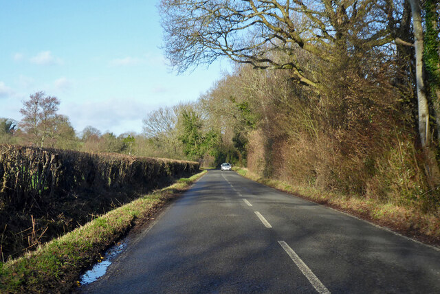
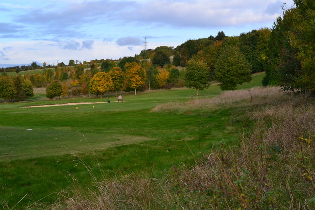
The hill is known for its natural beauty and offers stunning views of the surrounding countryside. Covered in lush greenery and dotted with patches of wildflowers, it is a popular spot for nature enthusiasts and hikers. The hill is also a designated Site of Special Scientific Interest (SSSI) due to its diverse flora and fauna, including a variety of rare plants and insects.

At the summit of Barrow Hill, visitors can find an ancient burial mound or barrow, dating back to the Bronze Age. This archaeological feature adds historical significance to the area, attracting those interested in the region's rich past.

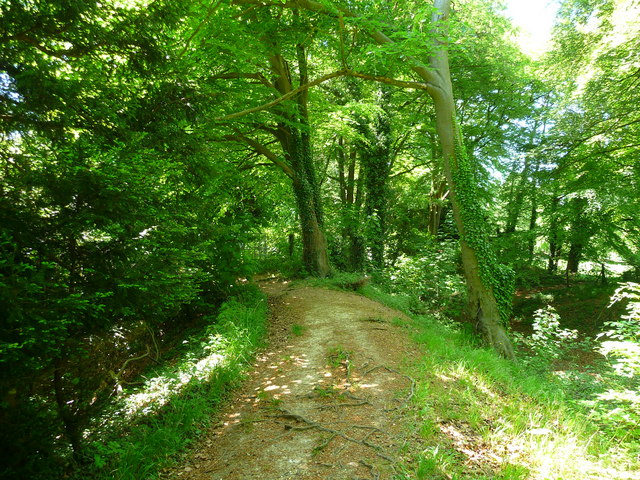
Hikers and walkers can explore the numerous trails that crisscross the hill, leading them through woodlands, meadows, and open fields. The hill offers a peaceful and tranquil escape from the hustle and bustle of everyday life, allowing visitors to connect with nature and enjoy the stunning views of the Hampshire countryside.

Overall, Barrow Hill in Hampshire provides a natural haven for outdoor enthusiasts, history buffs, and those seeking a serene and scenic escape in the heart of the South Downs.

If you have any feedback on the listing, please let us know in the comments section below.
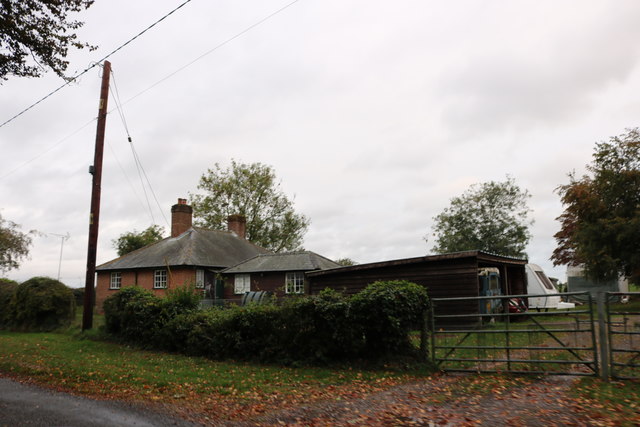
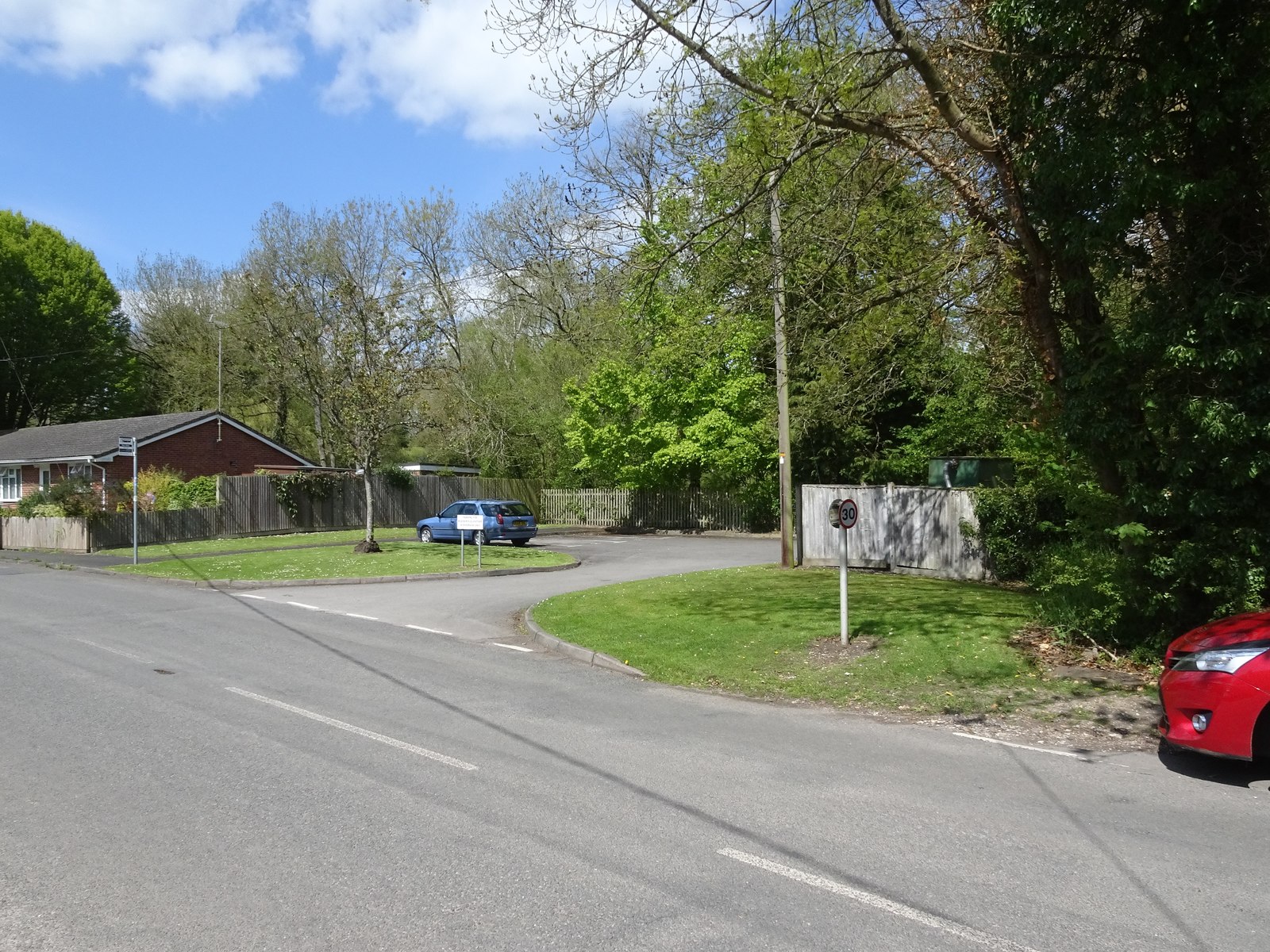
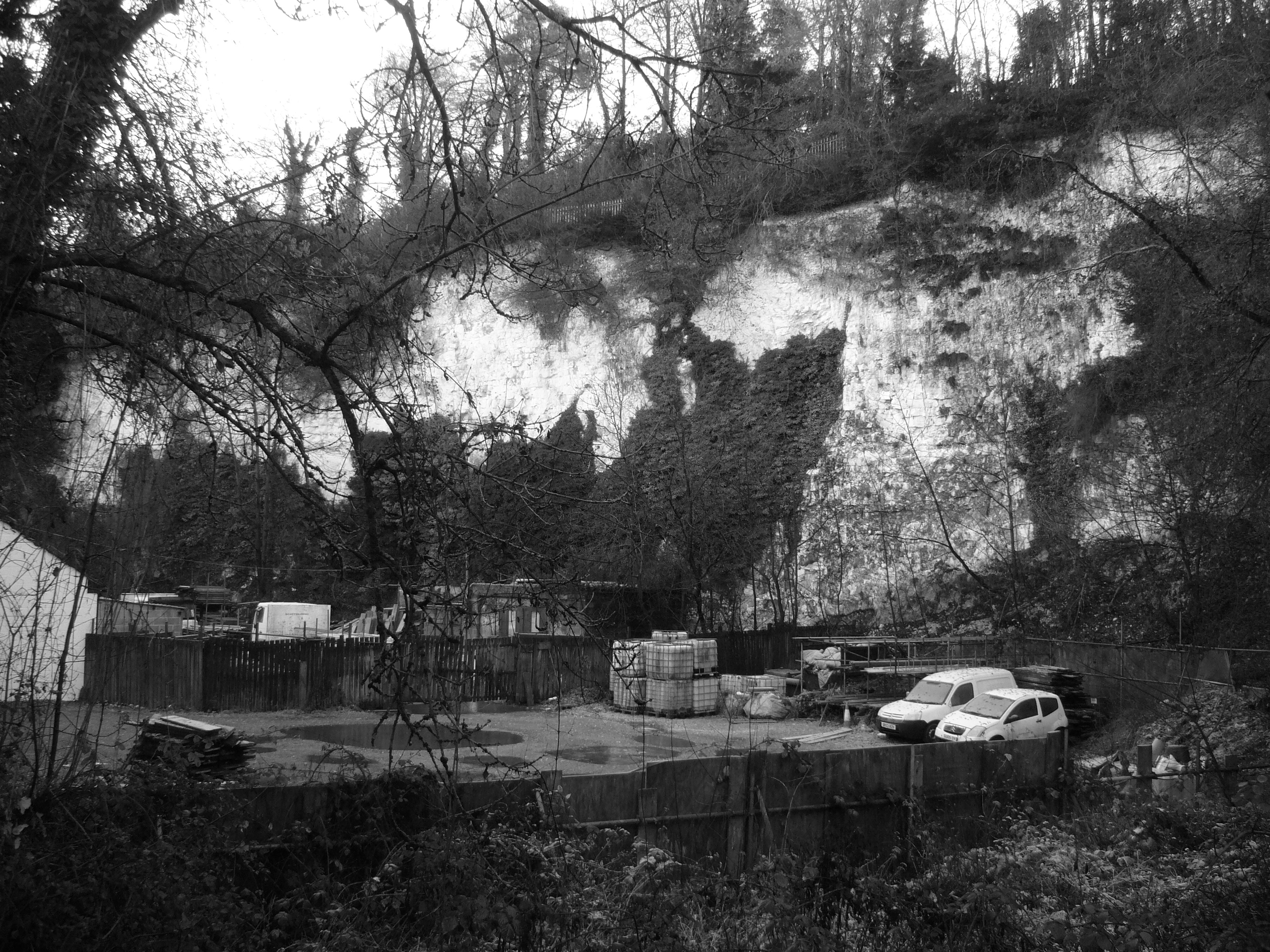
Barrow Hill Images

Images are sourced within 2km of 51.174011/-1.4917868 or Grid Reference SU3541. Thanks to Geograph Open Source API. All images are credited.

Longstock Road towards Andover
Rowbury farm camp site A basic camp site. Situated on well drained chalk land.
The field was ploughed and rolled then sowed with wildflowers.
Rather than create marked pitches the site owner has left areas of flowers to create natural boundaries.
Rowbury farm camp site
A basic camp site. Situated on well drained chalk land. The field was ploughed and rolled then sowed with wildflowers. Rather than create marked pitches the site owner has left areas of flowers to create natural boundaries.
Westover Solar Park
Westover Solar Park
Westover Solar Park
Westover Solar Park
Westover Solar Park access road
Westover Park Solar Park access road
Goodworth Clatford Ford This ford on The River Anton is found at Goodworth Clatford. A video of the ford can be seen at:
<span class="nowrap"><a title="https://youtu.be/LW_s5SRKsUE" rel="nofollow ugc noopener" href="https://youtu.be/LW_s5SRKsUE">Link</a><img style="margin-left:2px;" alt="External link" title="External link - shift click to open in new window" src="https://s1.geograph.org.uk/img/external.png" width="10" height="10"/></span>
Goodworth Clatford Ford
This ford on The River Anton is found at Goodworth Clatford. A video of the ford can be seen at: LinkExternal link
View over The Hampshire Golf Club
Southern edge of The Hampshire Golf Club
Clatford railway station (site), Hampshire Opened in 1865 by the London & South Western Railway on the line from Andover Junction to Romsey, this station closed in 1964.
View north at the former forecourt, where the small car park now is. Little trace exists, but part of the rear of one of the platforms was still extant in the undergrowth, when this image was taken.
Clatford railway station (site), Hampshire
Opened in 1865 by the London & South Western Railway on the line from Andover Junction to Romsey, this station closed in 1964. View north at the former forecourt, where the small car park now is. Little trace exists, but part of the rear of one of the platforms was still extant in the undergrowth, when this image was taken.
Barrow Hill at the junction of Fullerton Road
Church Lane at the junction of Winchester Road
House on Fullerton Road, Red Rice
Barrow Hill, Goodworth Clatford
Show me another place!

Barrow Hill is located at Grid Ref: SU3541 (Lat: 51.174011, Lng: -1.4917868)

Administrative County: Hampshire

District: Test Valley

Police Authority: Hampshire

What 3 Words

///wanted.august.horses. Near Anna Valley, Hampshire

Related Wikis

Goodworth Clatford

Goodworth Clatford (formerly Goodworth and Lower Clatford which then joined) is a village located in Hampshire, England. It is south of the town of Andover...

Clatford railway station

Clatford railway station served the village of Goodworth Clatford, Hampshire, England, from 1865 to 1964 on the Sprat and Winkle Line. == History == The...

Farleigh School

Farleigh School is a Catholic preparatory day and boarding school in Andover, Hampshire, England. Situated in 60 acres (240,000 m2) of parkland in the...

Redrice School

Redrice School was an independent school located at Red Rice, near Andover in Hampshire, United Kingdom. == History == The school was founded by Adrian...

Red Rice, Hampshire

Red Rice is a hamlet and country house in the civil parish of Upper Clatford, south-west of Andover in the English county of Hampshire. == Etymology... ==

Upper Clatford

Upper Clatford is a village and civil parish in Hampshire, England. The village is in the valley of the River Anton, 3.5 miles (5.6 km) upstream from the...

Bury Hill

Bury Hill is the site of a former Iron Age hillfort about 1.5 miles (2.4 km) southwest of the centre of Andover, Hampshire. The site encloses about 22...

Anna Valley

Anna Valley is part of the village and parish of Upper Clatford, Hampshire, United Kingdom. The settlement is located approximately 1.0 mile (1.6 km)...

Nearby Amenities

Located within 500m of 51.174011,-1.4917868
Barrow Hill
Access: private
Ele: 84
Natural: peak
Lat/Long: 51.1738713/-1.4917604
Landuse: recreation_ground
Lat/Long: 51.1760388/-1.4876156
Turning Circle
Lat/Long: 51.1772881/-1.4887689
Turning Circle
Lat/Long: 51.1774665/-1.487857
Leisure: playground
Lat/Long: 51.1768358/-1.4874942
Post Box
Letters Only: yes
Operator: Royal Mail
Post Box Design: waggon_top
Post Box Mounting: pier
Post Box Type: lamp
Ref: SP11 135
Royal Cypher: GR
Royal Cypher Wikidata: Q33102273
Lat/Long: 51.1745703/-1.4853321
Power: pole
Source: Bing
Lat/Long: 51.1711922/-1.4883848
Power: pole
Source: Bing
Lat/Long: 51.1715151/-1.4881837
Power: pole
Source: Bing
Lat/Long: 51.1700251/-1.4940711
Power: pole
Source: Bing
Lat/Long: 51.172161/-1.488063
Power: pole
Source: Bing
Lat/Long: 51.1728269/-1.4879503
Power: pole
Source: Bing
Lat/Long: 51.170232/-1.4884063
Power: pole
Source: Bing
Lat/Long: 51.171606/-1.4862807
Power: pole
Source: Bing
Lat/Long: 51.1709131/-1.4883017
Power: pole
Source: Bing
Lat/Long: 51.1704607/-1.4920568
Power: pole
Source: Bing
Lat/Long: 51.1708072/-1.4903777
Power: pole
Lat/Long: 51.1704137/-1.4920163
Power: pole
Lat/Long: 51.1695501/-1.4911956
The data included in this document is from www.openstreetmap.org. The data is made available under ODbL.

Have you been to Barrow Hill?

Leave your review of Barrow Hill below (or comments, questions and feedback).