Burtree Hill
Hill, Mountain in Yorkshire Harrogate
England
Burtree Hill

Burtree Hill is a prominent natural landmark located in the county of Yorkshire, England. Situated near the village of Burtree Gate, it is a relatively small hill that forms part of the North Pennines Area of Outstanding Natural Beauty.
Reaching a maximum elevation of approximately 280 meters (920 feet), Burtree Hill offers breathtaking panoramic views of the surrounding countryside. The hill is characterized by its gentle slopes and lush greenery, making it a popular destination for hikers, nature enthusiasts, and photographers.
One of the notable features of Burtree Hill is the presence of several ancient burial mounds, known as tumuli, dating back to the prehistoric period. These mounds add an air of mystery and historical significance to the area, attracting archeologists and historians.
The hill is covered in a variety of vegetation, including grasses, heather, and scattered shrubs. Its diverse flora and fauna make it an important habitat for a range of wildlife, including birds, small mammals, and insects.
Burtree Hill serves as a serene retreat for those seeking solitude and tranquility amidst nature. Its peaceful atmosphere and scenic beauty provide ample opportunities for outdoor activities such as walking, picnicking, and photography.
Access to Burtree Hill is relatively easy, with several footpaths leading to its summit. The hill is well-maintained and offers ample parking facilities nearby. Visitors are advised to come prepared with appropriate footwear and clothing, as weather conditions can change rapidly.
If you have any feedback on the listing, please let us know in the comments section below.
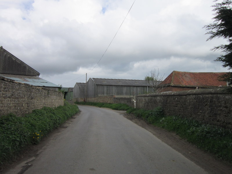
Burtree Hill Images
Images are sourced within 2km of 54.163846/-1.4588392 or Grid Reference SE3574. Thanks to Geograph Open Source API. All images are credited.


![Work in progress [6] In the four months since the last photo taken from this point, the road has assumed a nearly finished look with three lanes of tarmac to each side, a concrete barrier down the centre and new signs [one of which now obscures the view] in position. On this day traffic was confined to 2 lanes each way on the northbound carriageway, but a few days later both sides were open with two lanes in each direction. The short section from J49 at Dishforth to J50 [A61] is virtually complete, but sections further north still have much to be done.](https://s3.geograph.org.uk/geophotos/02/56/09/2560907_55e87bf0.jpg)
![Upgrading the A1[3] The view south from Rainton bridge showing the almost completed motorway carriageways. On this day all traffic was using the northbound lanes, but a few days later both sides of the road were open, but with two lanes in each direction and with a 50mph limit.](https://s3.geograph.org.uk/geophotos/02/56/23/2562363_b47f160d.jpg)


![Work in Progress [7] - work complete Work on the section of A1[M] between junctions 49 [Dishforth] and 50 [Rainton]was completed in mid October 2011 ahead of schedule. North of the A61 junction work was still underway to complete the service road on the west side of the motorway, with traffic still using contraflows and observing a 50mph limit. The current OS map indicates a blue dashed line for the motorway along the west side of the old A1, but this is incorrect as the general line is a few metres to the east of the old road. An excellent job done with minimum disruption to traffic.](https://s2.geograph.org.uk/geophotos/02/68/25/2682550_a3b3a4a0.jpg)
![Upgrading the A1[4] The old A1 has been transformed into a motorway and the section between junctions 49 and 50 is complete [October 2011]. Strangely, the old fast food restaurant which can be seen on the far side of the road is still there, boarded up and with no access apart from a farm track. One wonders what its fate will be.](https://s2.geograph.org.uk/geophotos/02/68/25/2682578_57d25a0e.jpg)


Burtree Hill is located at Grid Ref: SE3574 (Lat: 54.163846, Lng: -1.4588392)
Division: North Riding
Administrative County: North Yorkshire
District: Harrogate
Police Authority: North Yorkshire
What 3 Words
///bootleg.offerings.complain. Near Ripon, North Yorkshire
Nearby Locations
Related Wikis

Rainton
Rainton is a village in the Harrogate borough of North Yorkshire, England. It is situated about 6 miles (9.7 km) north of Boroughbridge, 5 miles (8 km...

Baldersby St James
Baldersby St James is a village in the Harrogate district of North Yorkshire, England. Several notable buildings in the village were commissioned by Viscount...
Hutton Conyers
Hutton Conyers is a village and civil parish in the Harrogate district of North Yorkshire, England. It is situated near the River Ure and 1-mile (1.6...
Melmerby, Harrogate
Melmerby is a village and civil parish in North Yorkshire, England, that lies 3.7 miles (6 km) north of Ripon and 0.6 miles (1 km) west of the A1(M) motorway...
Nunwick
Nunwick is a village in the Harrogate district of North Yorkshire, England. It is about 1 mile north-east of Ripon. Nunwick was historically a township...

Melmerby railway station
Melmerby railway station was a railway station and junction in North Yorkshire, England. It had one main line going south to Ripon and Harrogate and one...
Sharow
Sharow is a village and civil parish in the Harrogate district of North Yorkshire, England. It is about 1 mile (1.6 km) north-east of Ripon. The name...

Baldersby railway station
Baldersby railway station was a railway station serving the village of Baldersby in North Yorkshire, England. It was located on a line from Melmerby, north...
Nearby Amenities
Located within 500m of 54.163846,-1.4588392Have you been to Burtree Hill?
Leave your review of Burtree Hill below (or comments, questions and feedback).