Bullbridge Hill
Hill, Mountain in Derbyshire Amber Valley
England
Bullbridge Hill
Bullbridge Hill is a prominent hill located in Derbyshire, England. Situated near the town of Ripley, it forms part of the Pennines range, which stretches across the northern part of the country. Rising to an elevation of approximately 286 meters (938 feet), Bullbridge Hill offers commanding views of the surrounding countryside.
The hill is known for its distinctive shape, with a rounded summit and sloping sides. Its geology consists mainly of sandstone, which contributes to its stability and durability. The hill's location makes it a popular destination for outdoor enthusiasts, as it offers opportunities for hiking, walking, and nature exploration.
Despite its relatively modest height, Bullbridge Hill has historical significance in the region. It is believed to have been a strategic vantage point during various periods, including the Roman occupation of Britain and the English Civil War. The remains of an ancient fortification can be found on its summit, providing evidence of its defensive role.
In addition to its historical and recreational value, Bullbridge Hill is also important for its ecological diversity. The hill is home to a variety of flora and fauna, including heather, gorse, and several species of birds. It is designated as a Site of Special Scientific Interest (SSSI), ensuring the protection and preservation of its natural habitat.
Overall, Bullbridge Hill offers visitors a unique combination of historical significance, natural beauty, and recreational opportunities. Whether it's for a leisurely walk, a glimpse into the past, or simply enjoying the breathtaking views, Bullbridge Hill is a noteworthy destination in Derbyshire.
If you have any feedback on the listing, please let us know in the comments section below.
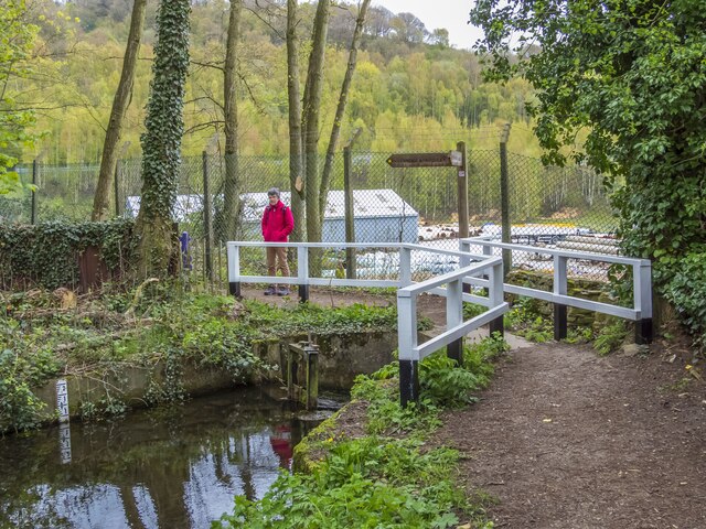
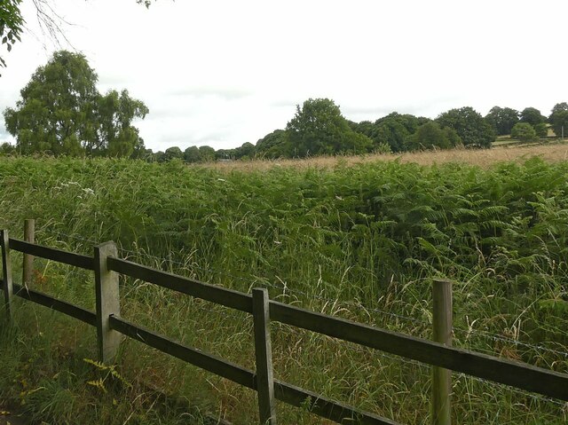
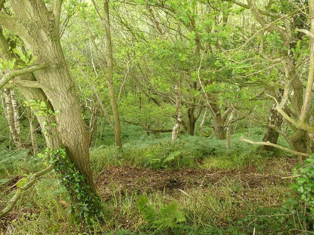
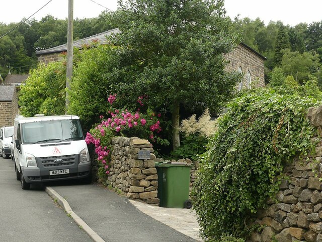
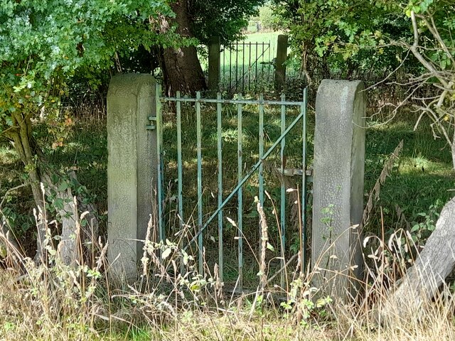
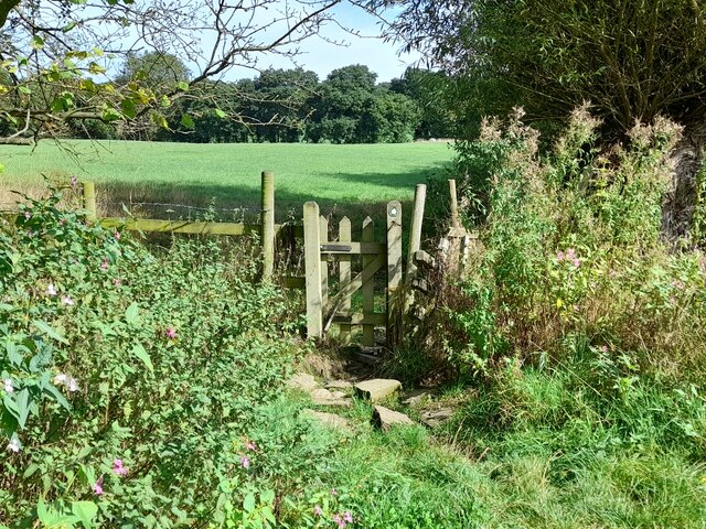
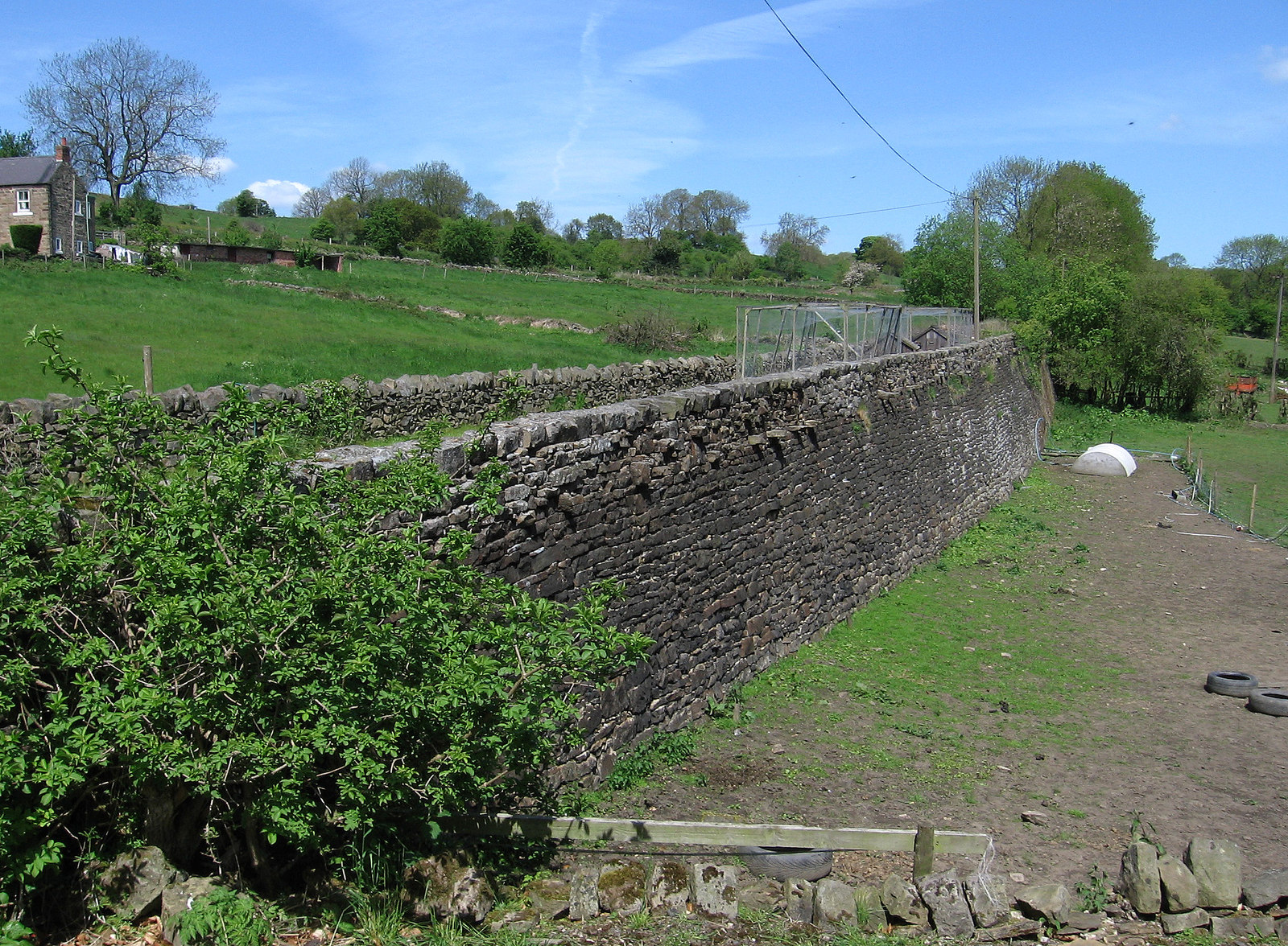
Bullbridge Hill Images
Images are sourced within 2km of 53.068931/-1.4730147 or Grid Reference SK3552. Thanks to Geograph Open Source API. All images are credited.


Bullbridge Hill is located at Grid Ref: SK3552 (Lat: 53.068931, Lng: -1.4730147)
Administrative County: Derbyshire
District: Amber Valley
Police Authority: Derbyshire
What 3 Words
///warms.boards.guitars. Near Heage, Derbyshire
Nearby Locations
Related Wikis

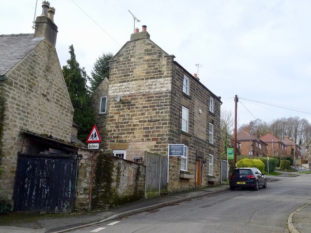
Bullbridge
Bullbridge is a small village in Derbyshire. The Bull bridge accident, in which a railway bridge failed as a goods train was just passing over it, happened...

Fritchley
Fritchley is a small village in Derbyshire, England, situated to the south of Crich and north of Ambergate. It falls under the civil parish of Crich. To...
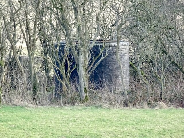
Bullbridge Aqueduct
The Bull Bridge Aqueduct was situated on the Cromford Canal, built in 1794, at Bullbridge east of Ambergate along the Amber Valley, where it turned sharply...
Butterley Gangroad
The Butterley Gangroad was an early tramway in Derbyshire of approximately 3 ft 6 in (1,067 mm) gauge, which linked Hilt's Quarry and other limestone quarries...

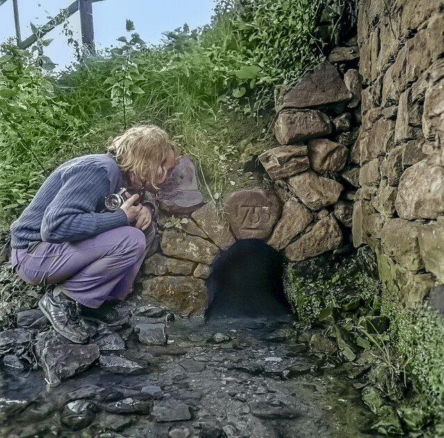
Fritchley Tunnel
Fritchley Tunnel is a disused railway tunnel at Fritchley in Derbyshire, England, which is believed to be the oldest surviving example in the world. The...
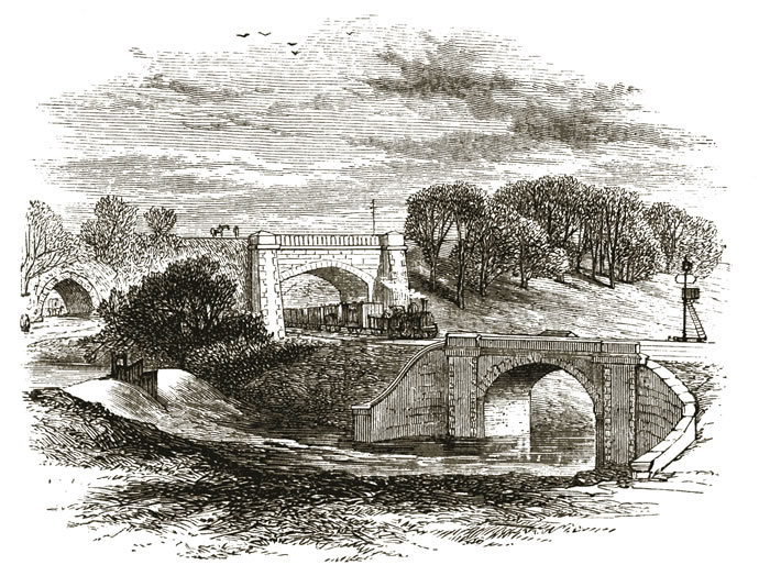
Bull bridge accident
The Bull Bridge accident was a failure of a cast-iron bridge at Bullbridge, near Ambergate in Derbyshire on 26 September 1860. As a goods train was passing...

Cromford Canal
The Cromford Canal ran 14.5 miles (23.3 kilometres) from Cromford to the Erewash Canal in Derbyshire, England with a branch to Pinxton. Built by William...

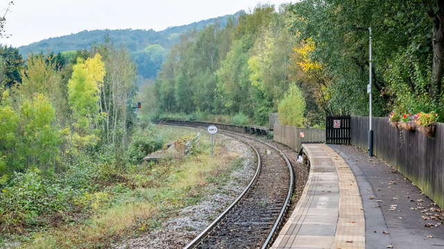
Ambergate railway station
Ambergate railway station is a railway station owned by Network Rail and managed by East Midlands Railway. It serves the village of Ambergate in Derbyshire...
Nearby Amenities
Located within 500m of 53.068931,-1.4730147Have you been to Bullbridge Hill?
Leave your review of Bullbridge Hill below (or comments, questions and feedback).