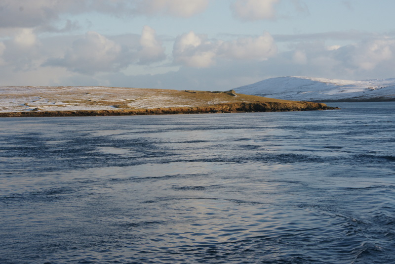
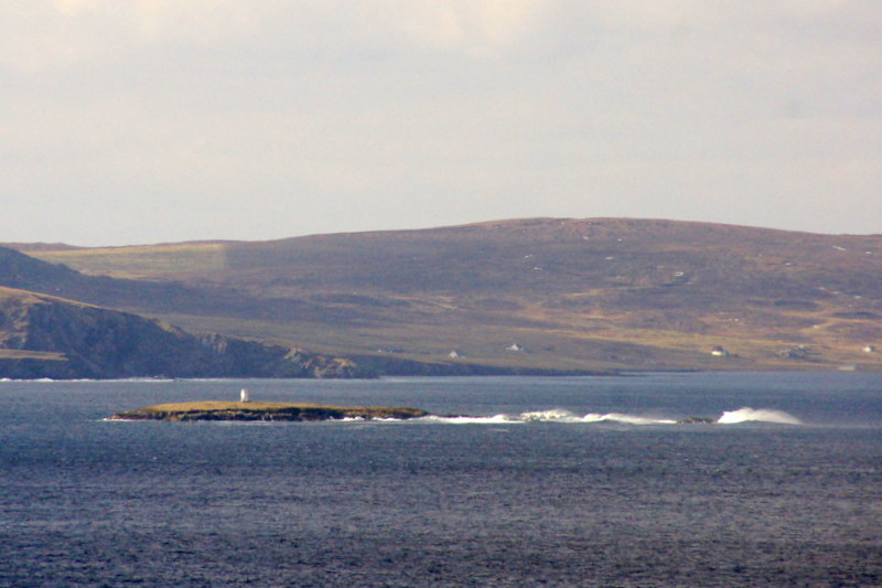
Beorgs of Skelberry

Hill, Mountain in Shetland

Scotland

Beorgs of Skelberry

Skelberry, North Roe, from the Colsta track
Skelberry, North Roe, from the Colsta track Credit: Mike Pennington

The requested URL returned error: 429 Too Many Requests

If you have any feedback on the listing, please let us know in the comments section below.

Beorgs of Skelberry Images

Images are sourced within 2km of 60.575053/-1.356998 or Grid Reference HU3588. Thanks to Geograph Open Source API. All images are credited.
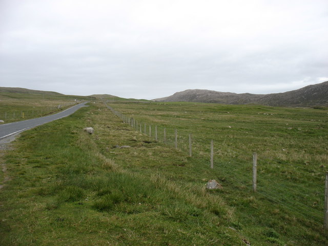
Skelberry, North Roe, from the Colsta track
Skelberry, North Roe
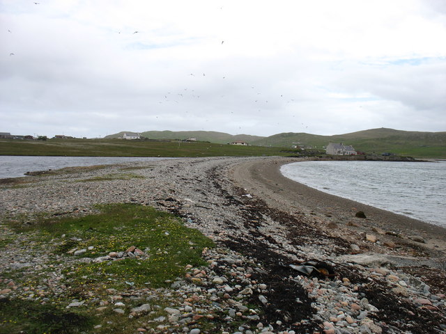
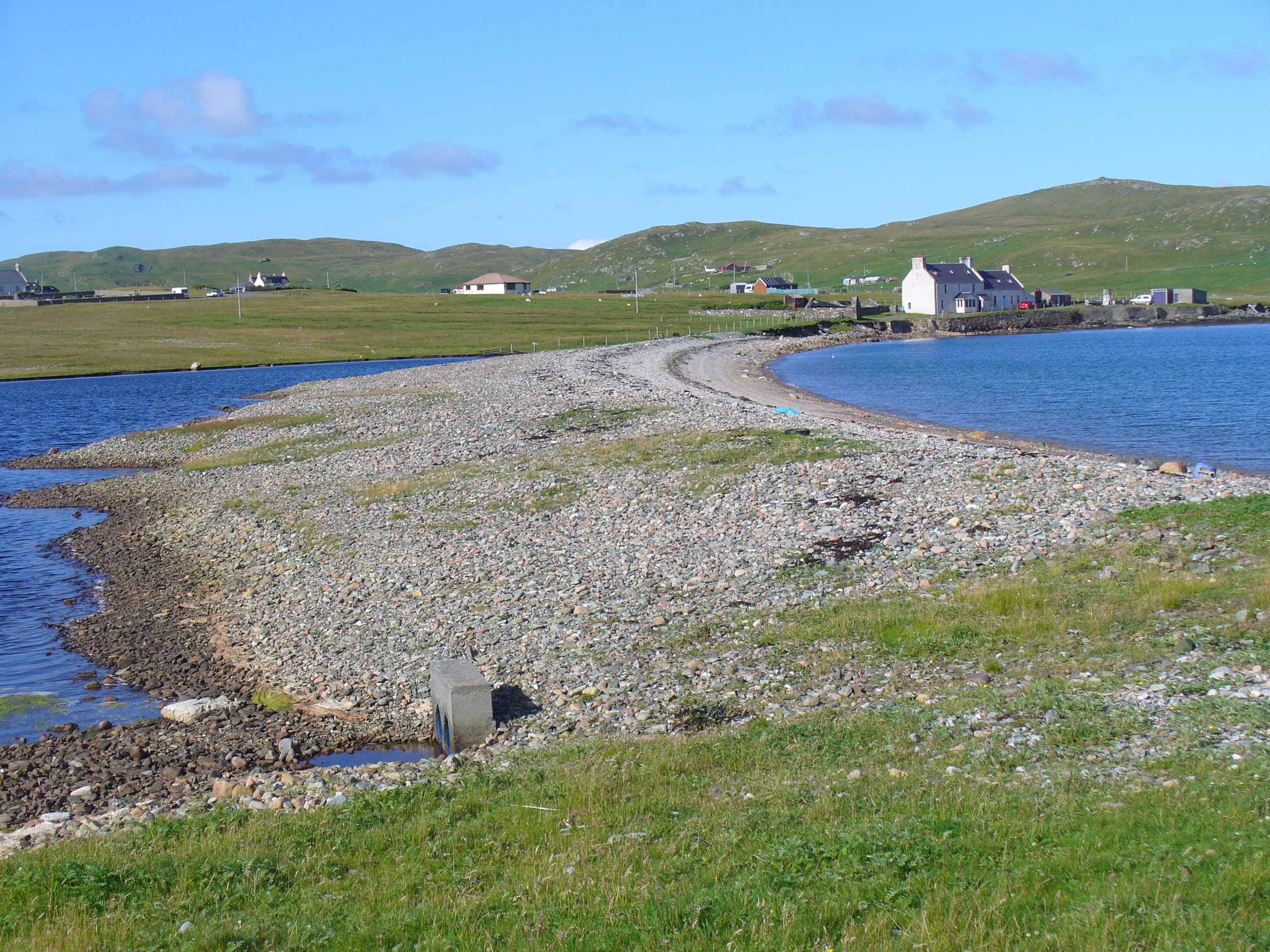
The spit at Burra Voe I don't think this is a true tombolo, because on the left is just a small (and no doubt saline) lochan. But it is quite impressive that this low barrier has survived for many decades, or longer.
The spit at Burra Voe
I don't think this is a true tombolo, because on the left is just a small (and no doubt saline) lochan. But it is quite impressive that this low barrier has survived for many decades, or longer.
Burra Voe pier Not, perhaps, suitable for other than the smallest of vessels.
Burra Voe pier
Not, perhaps, suitable for other than the smallest of vessels.
The A970 heading south The A970 just comes to a dead stop about 3 km north of here (behind the camera), at Isbister. Looking south, for the next ten miles or so it is "single track with passing places", but there is so little traffic that it is hardly a problem. After that, and all the way to Sumburgh <a href="https://www.geograph.org.uk/gridref/HU4009">HU4009</a>, 80km away, it is a splendid road, upgraded (like other main routes on the Shetland Islands) when the oil money was at its peak.
The A970 heading south
The A970 just comes to a dead stop about 3 km north of here (behind the camera), at Isbister. Looking south, for the next ten miles or so it is "single track with passing places", but there is so little traffic that it is hardly a problem. After that, and all the way to Sumburgh HU4009, 80km away, it is a splendid road, upgraded (like other main routes on the Shetland Islands) when the oil money was at its peak.
A970 Road A970 road near Skelberry
A970 Road
A970 road near Skelberry
Pipework at North Roe May be the remains of old sewage systems when it was acceptable to discharge straight into the sea.
Pipework at North Roe
May be the remains of old sewage systems when it was acceptable to discharge straight into the sea.
A970 approaching North Roe
North Roe Methodist Church, South Haa Category C Listed 1878 Mission Chapel and Manse.  Its double cottage design is unusual in Shetland and more in keeping with school and schoolhouse arrangements on the mainland. It was reported in July 2014 that the church will receive £7,100 from the Heritage Lottery Fund to replace its windows, and help provide better facilities to make the church more suitable for wider community use.
North Roe Methodist Church, South Haa
Category C Listed 1878 Mission Chapel and Manse. Its double cottage design is unusual in Shetland and more in keeping with school and schoolhouse arrangements on the mainland. It was reported in July 2014 that the church will receive £7,100 from the Heritage Lottery Fund to replace its windows, and help provide better facilities to make the church more suitable for wider community use.
North Roe This small community is on the shores of one of the many Burra Voes in Shetland.
North Roe
This small community is on the shores of one of the many Burra Voes in Shetland.
The Wadill Is this a ruined croft house? If so it is one of many in the remoter parts of Shetland.
The Wadill
Is this a ruined croft house? If so it is one of many in the remoter parts of Shetland.
Houlland This shot shows the difference between the improved grazing land and the unimproved moorland beyond. This is one of several places in Shetland named Houlland; in this case it is a Burn of Houlland, not visible in the shot, which drains this area into Burra Voe beyond.
Houlland
This shot shows the difference between the improved grazing land and the unimproved moorland beyond. This is one of several places in Shetland named Houlland; in this case it is a Burn of Houlland, not visible in the shot, which drains this area into Burra Voe beyond.
Skelberry Looking south from the side of the A970. The house at Skelberry looks new, and in front of it are the remnants of other now vanished buildings. The Burn of Houlland occupies the dip between Skelberry and the ridge to the right.
Skelberry
Looking south from the side of the A970. The house at Skelberry looks new, and in front of it are the remnants of other now vanished buildings. The Burn of Houlland occupies the dip between Skelberry and the ridge to the right.
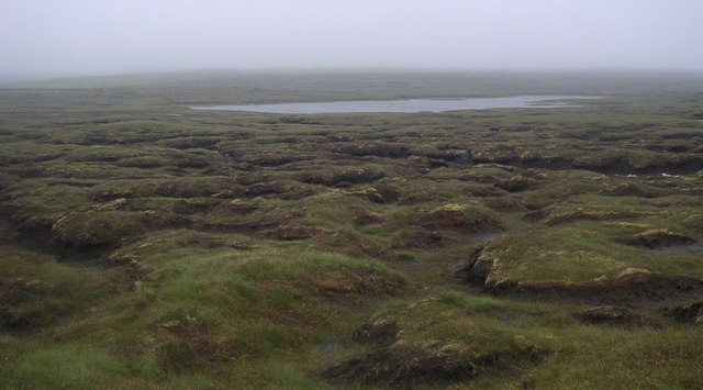
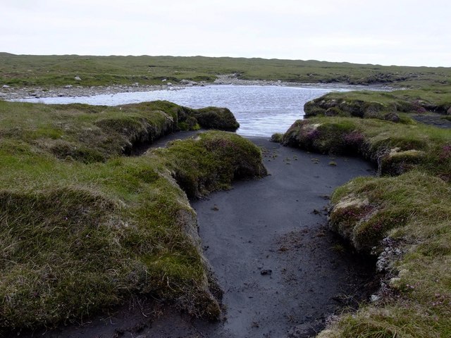
Peaty terrain Soft peaty terrain, approaching from the west to the larger of the Mill Lochs of Sandvoe.
Peaty terrain
Soft peaty terrain, approaching from the west to the larger of the Mill Lochs of Sandvoe.
Skelberry below the Beorgs.
South end of North Roe The houses around the Wadill at the south end of North Roe. The north slopes of the Beorgs of Skelberry are in the background on the left.
South end of North Roe
The houses around the Wadill at the south end of North Roe. The north slopes of the Beorgs of Skelberry are in the background on the left.
North Roe From a boat in the mouth of Burra Voe. The school is the building on the right.
North Roe
From a boat in the mouth of Burra Voe. The school is the building on the right.
Moorland NE of Roer Water This moorland looks bleak, but it is alive with birds such as Great Skua (Bonxies), Curlew, Whimbrel, Golden Plover and Pink-footed Geese.
Moorland NE of Roer Water
This moorland looks bleak, but it is alive with birds such as Great Skua (Bonxies), Curlew, Whimbrel, Golden Plover and Pink-footed Geese.
Show me another place!

Beorgs of Skelberry is located at Grid Ref: HU3588 (Lat: 60.575053, Lng: -1.356998)

Unitary Authority: Shetland Islands

Police Authority: Highlands and Islands

What 3 Words

///shred.collapsed.pounds. Near Ulsta, Shetland Islands

Nearby Locations

Beorgs of Skelberry

Related Wikis

North Roe

North Roe is a village, and protected area at the northern tip in the large Northmavine peninsula of the Mainland of Shetland, Scotland. It is a small...

Muckle Holm, Yell Sound

Muckle Holm is a small island in Shetland. It is in Yell Sound, near the Northmavine. It is 23 metres (75 ft) at its highest point. There is a lighthouse...

Yell Sound

Yell Sound is the strait running between Yell and Mainland, Shetland, Scotland. It is the boundary between the Mainland and the North Isles and it contains...

Little Holm, Yell Sound

Little Holm is a small island in Yell Sound, in Shetland, Scotland. It lies between Northmavine and the island of Yell. There is a lighthouse here. In...

Have you been to Beorgs of Skelberry?

Leave your review of Beorgs of Skelberry below (or comments, questions and feedback).