Maiden Moor Hill
Hill, Mountain in Yorkshire
England
Maiden Moor Hill
Maiden Moor Hill, located in the county of Yorkshire, England, is an imposing natural landmark that forms part of the extensive Lake District National Park. Standing at an elevation of approximately 1,892 feet (577 meters), it is classified as a hill rather than a mountain. Despite its relatively modest height, Maiden Moor Hill offers breathtaking panoramic views of the surrounding picturesque landscapes.
The hill is characterized by its rugged and rocky terrain, covered in patches of heather and grasses. It is a popular destination for hikers and outdoor enthusiasts, attracting visitors from both near and far. The ascent to the summit can be challenging, with steep and uneven paths, making it a rewarding experience for those seeking a physical challenge.
At the peak of Maiden Moor Hill, visitors are rewarded with commanding views of the nearby Derwent Water, a stunning lake that stretches out in front like a shimmering jewel. On clear days, the vista extends to the neighboring fells and mountains, including the iconic Catbells and Skiddaw.
The hill is also known for its rich historical and cultural significance. It is believed to have been named after a local legend or folklore, although the exact origins of the name remain uncertain. Maiden Moor Hill has featured in various literary works and poems, capturing the imagination of writers and artists over the years.
Maiden Moor Hill is not only a natural landmark but also a testament to the beauty and diversity of the Yorkshire countryside, attracting visitors with its stunning vistas, challenging trails, and intriguing history.
If you have any feedback on the listing, please let us know in the comments section below.
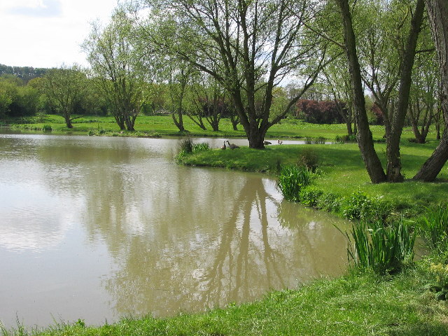
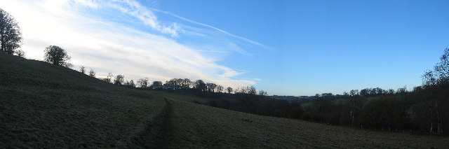
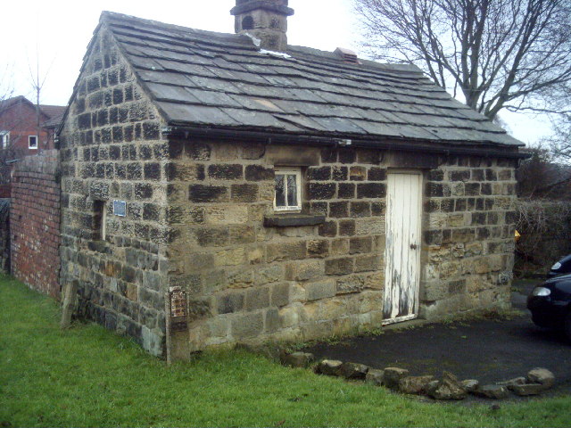
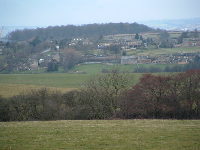
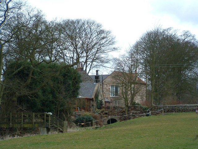
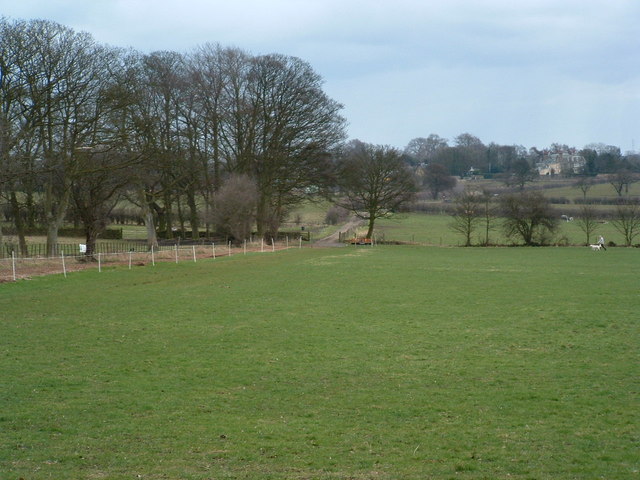
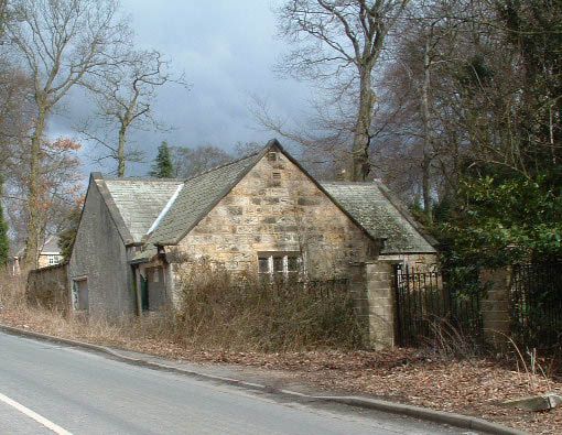
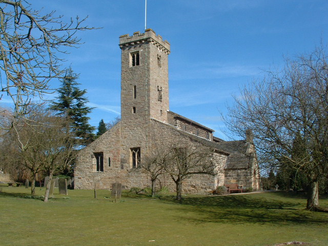
Maiden Moor Hill Images
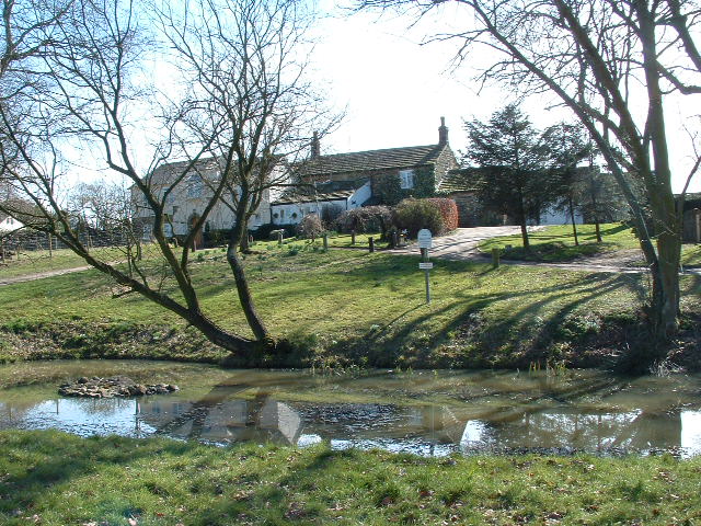
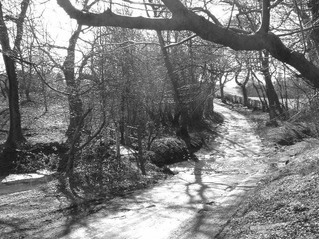
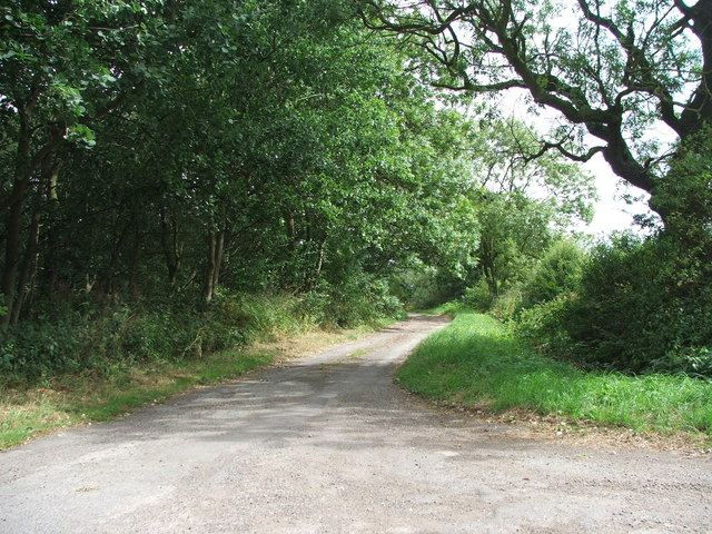
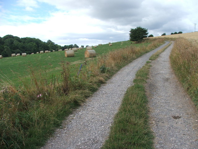
Images are sourced within 2km of 53.872818/-1.4657802 or Grid Reference SE3541. Thanks to Geograph Open Source API. All images are credited.


Maiden Moor Hill is located at Grid Ref: SE3541 (Lat: 53.872818, Lng: -1.4657802)
Division: West Riding
Unitary Authority: Leeds
Police Authority: West Yorkshire
What 3 Words
///olive.chip.verbs. Near Scarcroft, West Yorkshire
Nearby Locations
Related Wikis
Scarcroft
Scarcroft is a village and civil parish 6 miles (10 km) north east of Leeds city centre in the City of Leeds metropolitan borough, West Yorkshire, England...
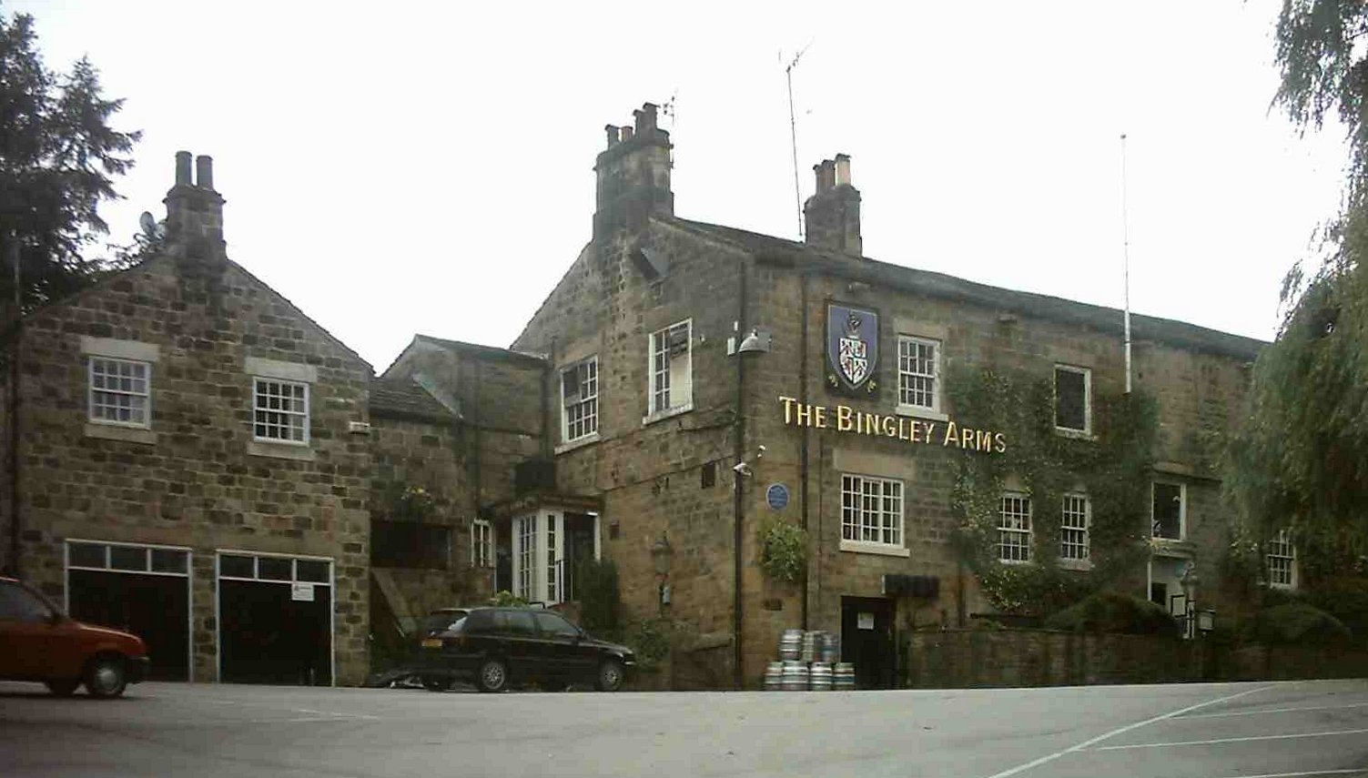
The Bingley Arms
The Bingley Arms is a public house in Bardsey, Leeds, West Yorkshire, England. It claims to be both the oldest surviving business and oldest surviving...

Wike, West Yorkshire
Wike is a hamlet and (as Wyke) a former civil parish, now in the parish of Harewood, north of Leeds, West Yorkshire, England. It is in the City of Leeds...
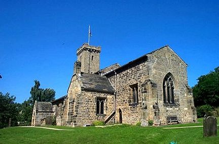
All Hallows Church, Bardsey
All Hallows Church in Bardsey, West Yorkshire, England is an active Anglican parish church in the archdeaconry of Leeds and the Diocese of Leeds. The Bardsey...
Nearby Amenities
Located within 500m of 53.872818,-1.4657802Have you been to Maiden Moor Hill?
Leave your review of Maiden Moor Hill below (or comments, questions and feedback).