Bunker's Hill
Hill, Mountain in Yorkshire Harrogate
England
Bunker's Hill

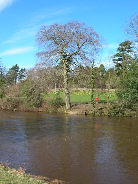
Bunker's Hill, located in Yorkshire, England, is a prominent hill that stands as a notable landmark in the region. Situated amidst the picturesque countryside, this hill rises to an elevation of approximately 300 meters above sea level, making it a popular destination for locals and tourists alike.
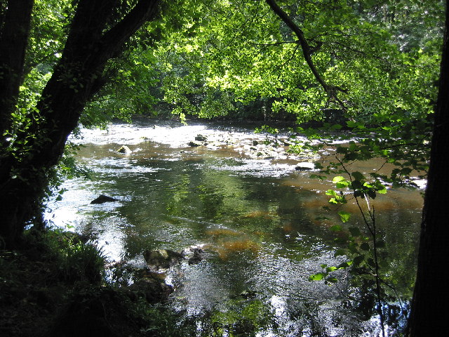
Bunker's Hill offers breathtaking panoramic views of the surrounding landscape, with its vantage point providing a sweeping vista of the lush green valleys, rolling hills, and quaint villages that dot the countryside. On a clear day, visitors can even catch a glimpse of the distant Yorkshire Dales National Park in the west.
The hill is predominantly covered with a variety of vegetation, including grasses, shrubs, and patches of woodland, creating a diverse and rich ecosystem. It serves as a habitat for a wide range of wildlife, including birds, rabbits, and occasional sightings of deer.
The area surrounding Bunker's Hill is also steeped in history. It is believed that the hill derived its name from its strategic significance during conflicts in the past. The hilltop was used as a defensive position during battles, offering a tactical advantage to those who sought refuge there.
Today, Bunker's Hill attracts hikers, nature enthusiasts, and history buffs alike. The hill offers several walking trails, allowing visitors to explore the diverse landscape and enjoy the serenity of the countryside. Additionally, the hill serves as a popular spot for picnics, offering a peaceful and tranquil setting for families and friends to gather.
In conclusion, Bunker's Hill is a captivating destination in Yorkshire, offering stunning views, diverse flora and fauna, and a rich historical significance. It is a place where visitors can immerse themselves in nature and connect with the region's past.
If you have any feedback on the listing, please let us know in the comments section below.
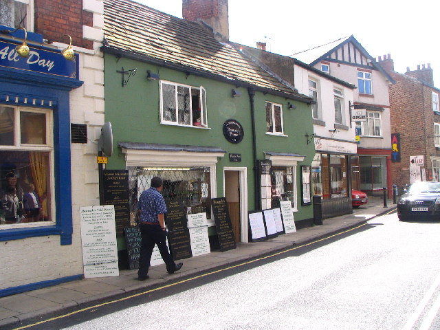
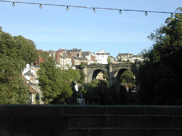
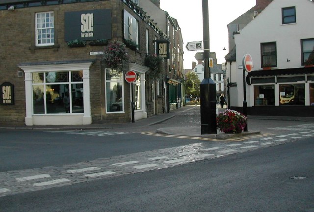
Bunker's Hill Images
Images are sourced within 2km of 54.003822/-1.467202 or Grid Reference SE3556. Thanks to Geograph Open Source API. All images are credited.


Bunker's Hill is located at Grid Ref: SE3556 (Lat: 54.003822, Lng: -1.467202)
Division: West Riding
Administrative County: North Yorkshire
District: Harrogate
Police Authority: North Yorkshire
What 3 Words
///wolf.node.sober. Near Knaresborough, North Yorkshire
Nearby Locations
Related Wikis
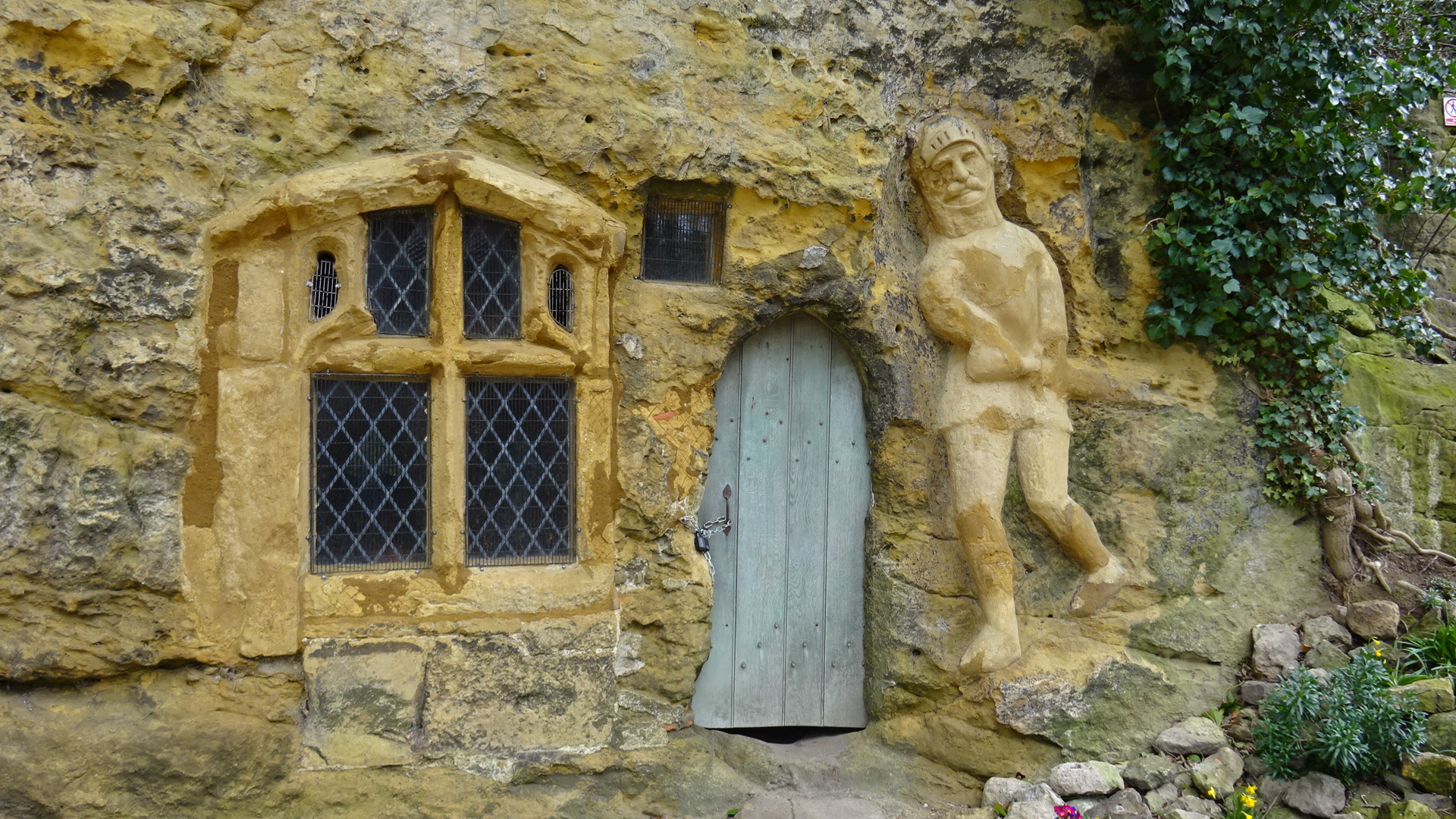
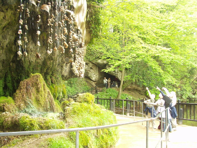
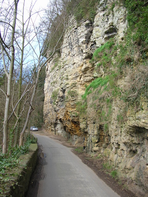
Chapel of Our Lady of the Crag
The early-fifteenth century Chapel of Our Lady of the Crag is located in an old quarry on Abbey Road beside the Nidd Gorge at Knaresborough and is an early...
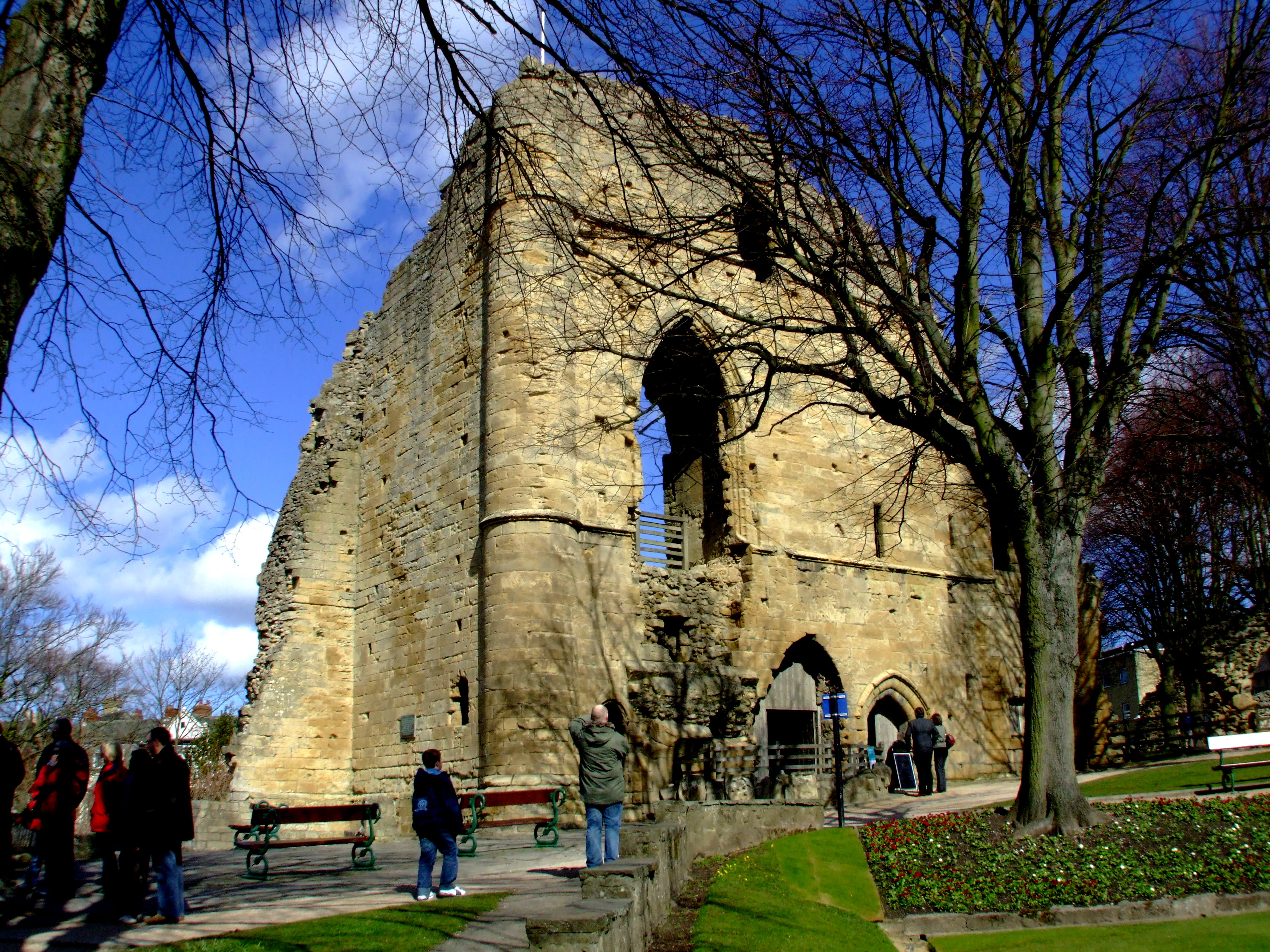
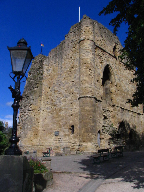
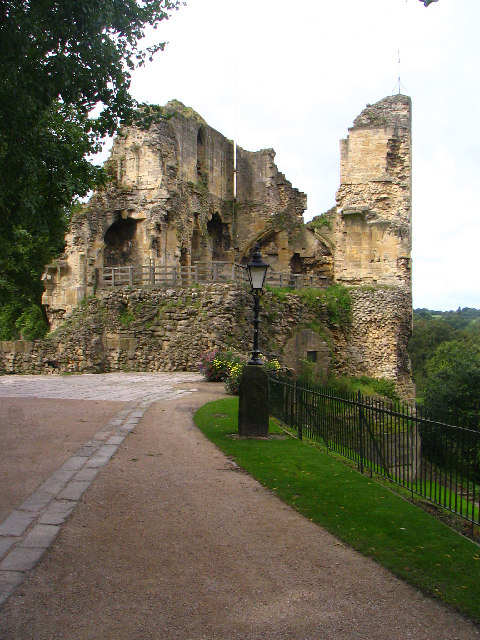
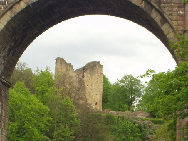
Knaresborough Castle
Knaresborough Castle is a ruined fortress overlooking the River Nidd in the town of Knaresborough, North Yorkshire, England. == History == The castle was...
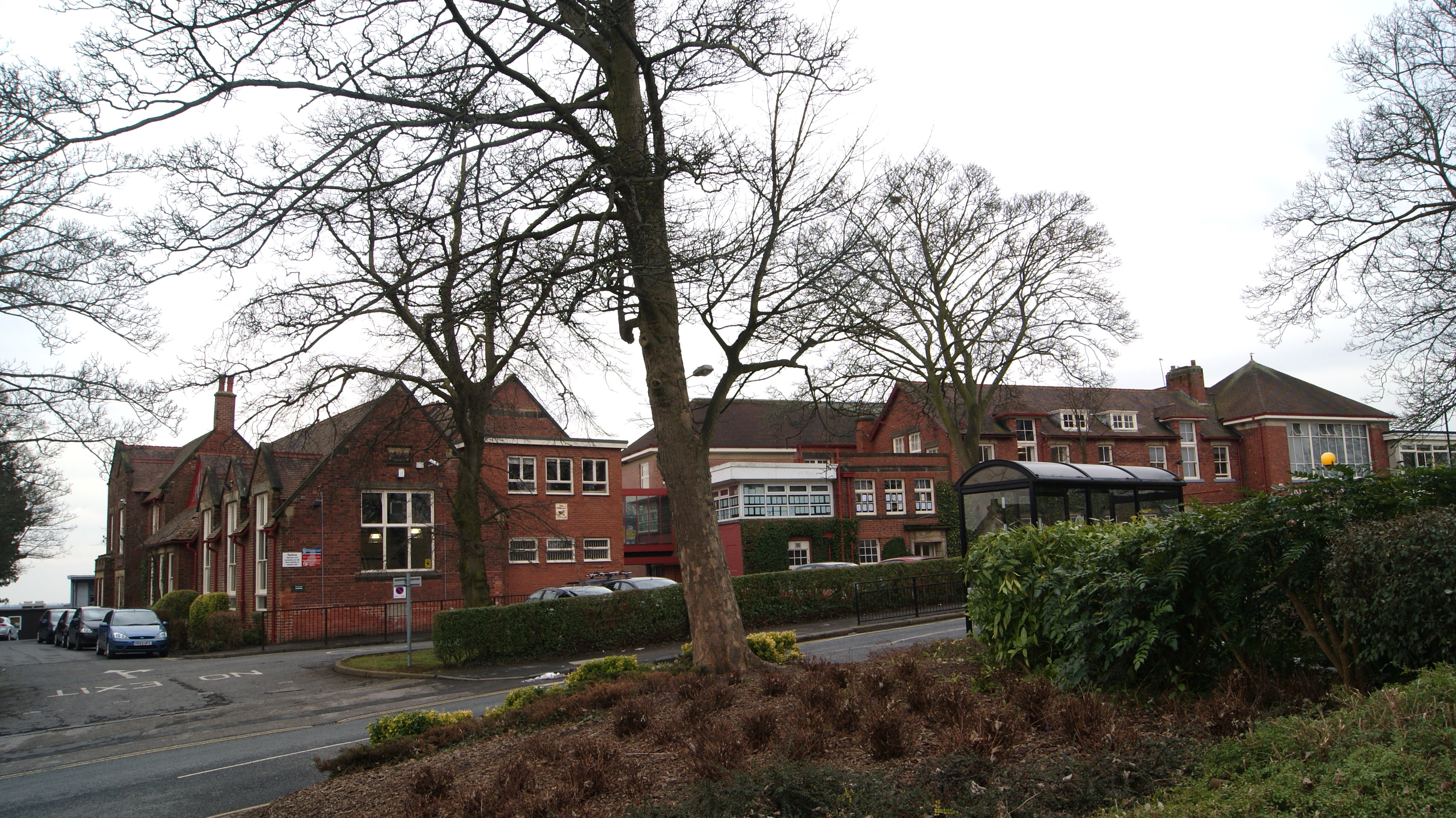
King James's School, Knaresborough
King James's School is located on King James Road, Knaresborough, North Yorkshire, England. King James's is a large non-selective school with a large sixth...
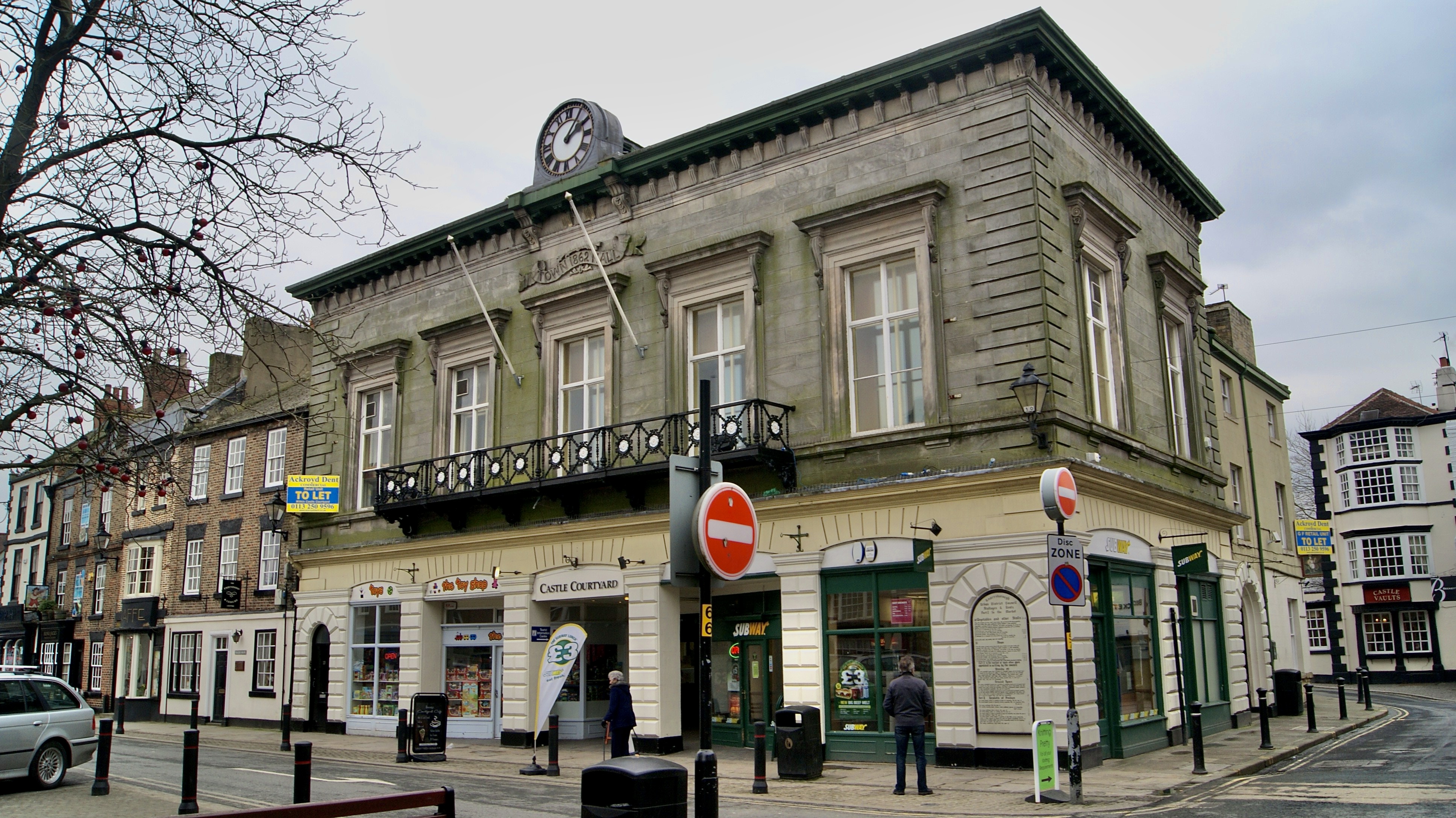
Old Town Hall, Knaresborough
The Old Town Hall is a former municipal building in the Market Place, Knaresborough, North Yorkshire, England. The structure, which was used as an events...

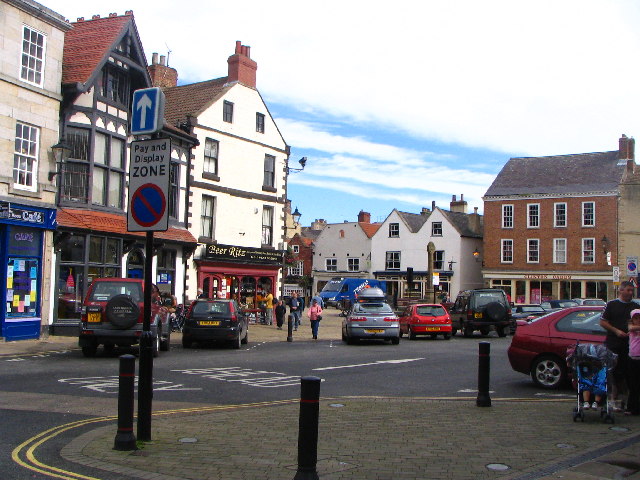
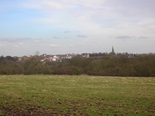
Knaresborough
Knaresborough ( NAIRZ-bər-ə) is a market and spa town and civil parish on the River Nidd in North Yorkshire, England. It is three miles (five kilometres...
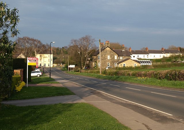
Calcutt, North Yorkshire
Calcutt is a village in the Harrogate district of North Yorkshire, England. == External links == Media related to Calcutt, North Yorkshire at Wikimedia...

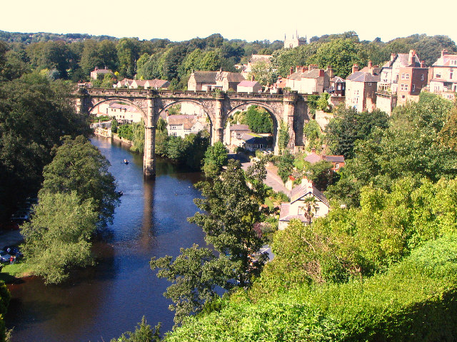
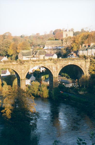
Knaresborough Viaduct
Knaresborough Viaduct is a viaduct in the North Yorkshire town of Knaresborough, England. The viaduct carries the Harrogate line over the River Nidd in...

Nidderdale Rural District
Nidderdale was a rural district in the West Riding of Yorkshire from 1938 to 1974. It was created from the combination of most of the disbanded rural districts...
Nearby Amenities
Located within 500m of 54.003822,-1.467202Have you been to Bunker's Hill?
Leave your review of Bunker's Hill below (or comments, questions and feedback).