Boldon Hills

Hill, Mountain in Durham

England

Boldon Hills

Hylton Castle, Sunderland 18th Century Gatehouse / Tower 

<span class="nowrap"><a title="https://en.wikipedia.org/wiki/Hylton_Castle" rel="nofollow ugc noopener" href="https://en.wikipedia.org/wiki/Hylton_Castle">Link</a><img style="margin-left:2px;" alt="External link" title="External link - shift click to open in new window" src="https://s1.geograph.org.uk/img/external.png" width="10" height="10"/></span>
Hylton Castle, Sunderland Credit: Brian Deegan

Boldon Hills is a small hill located in County Durham, in the northeast region of England. It is situated near the villages of Boldon and Cleadon, about 7 miles southeast of the city of Durham. Despite its name, Boldon Hills is not a mountain but rather a modestly sized hill, rising to an elevation of around 82 meters (269 feet) above sea level.

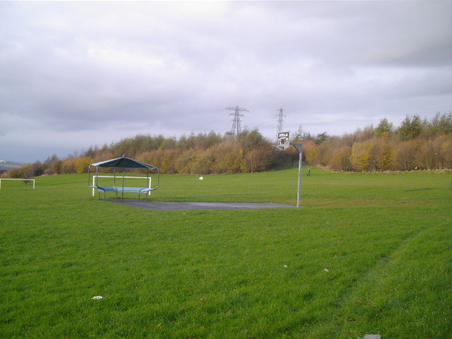
The hill is characterized by its gently rolling terrain and offers panoramic views of the surrounding countryside. It is covered in lush green grass and scattered with patches of shrubs and trees, adding to its scenic beauty. The hill is part of a larger area known as the Boldon Flats, which encompasses several smaller hills and open fields.

Boldon Hills is a popular spot for outdoor enthusiasts, walkers, and nature lovers. There are various footpaths and trails that crisscross the hill, allowing visitors to explore its natural wonders and enjoy the fresh air. The summit of Boldon Hills provides an excellent vantage point to admire the vast landscapes of County Durham, including the nearby coastline and the distant hills.

The hill is also home to a diverse range of wildlife, including birds, rabbits, and other small mammals. It provides a habitat for various plant species, making it an important ecological site within the region.

Overall, Boldon Hills offers a peaceful and picturesque setting for those seeking to escape the hustle and bustle of urban life and immerse themselves in the beauty of nature.

If you have any feedback on the listing, please let us know in the comments section below.
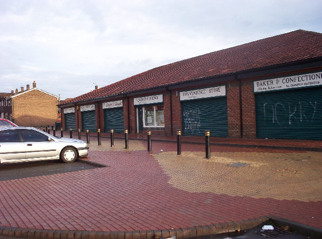
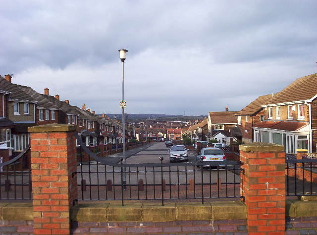
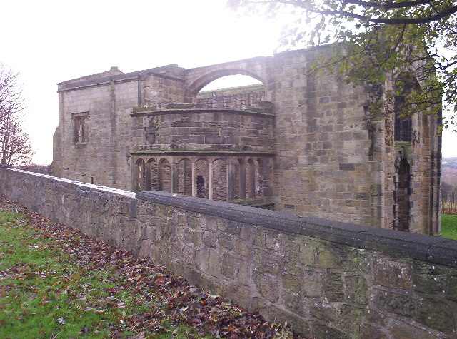
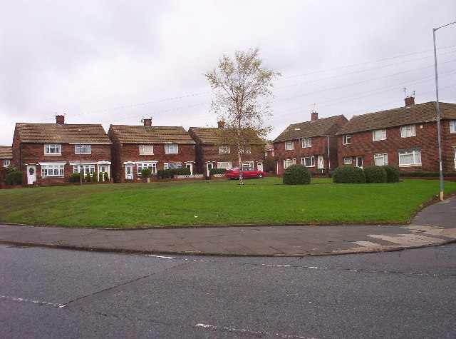
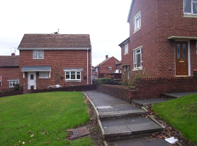
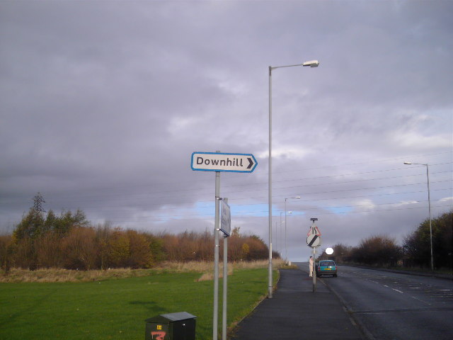
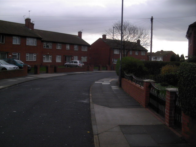
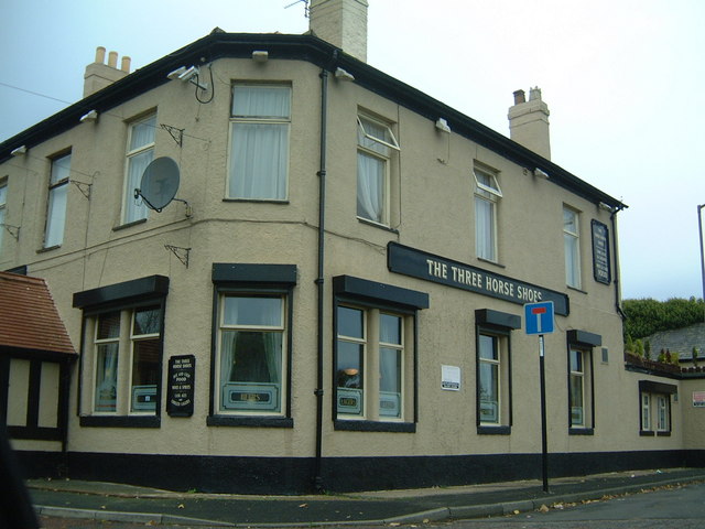
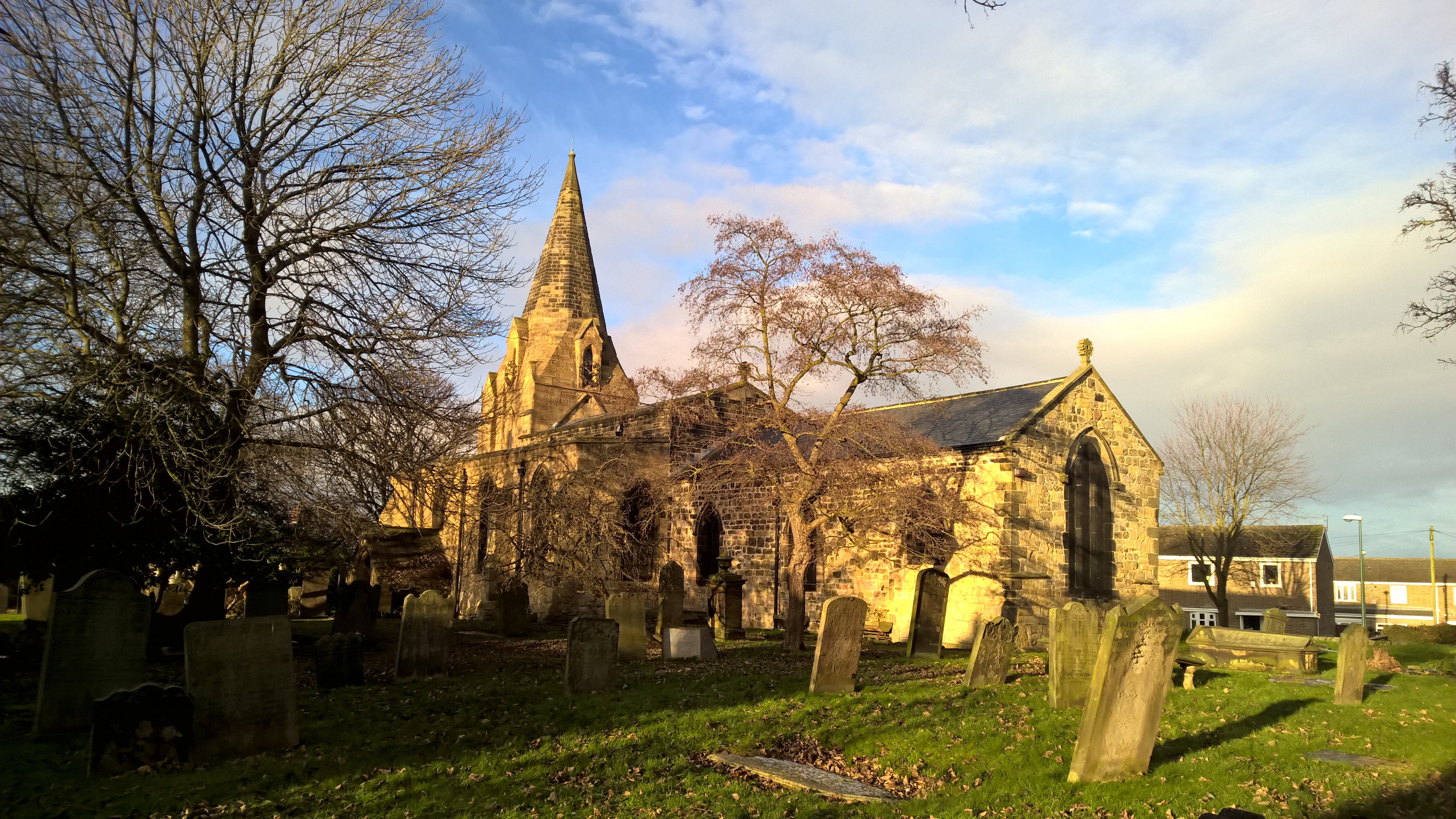
Boldon Hills Images

Images are sourced within 2km of 54.935568/-1.4555086 or Grid Reference NZ3460. Thanks to Geograph Open Source API. All images are credited.

Hylton Castle, Sunderland 18th Century Gatehouse / Tower 

<span class="nowrap"><a title="https://en.wikipedia.org/wiki/Hylton_Castle" rel="nofollow ugc noopener" href="https://en.wikipedia.org/wiki/Hylton_Castle">Link</a><img style="margin-left:2px;" alt="External link" title="External link - shift click to open in new window" src="https://s1.geograph.org.uk/img/external.png" width="10" height="10"/></span>
Hylton Castle, Sunderland
18th Century Gatehouse / Tower LinkExternal link
North East Aircraft Museum The museum began life back in 1974. It now hosts around 40 aircraft from different ages. Further information about the museum ca be obtained from <span class="nowrap"><a title="http://www.neam.co.uk" rel="nofollow ugc noopener" href="http://www.neam.co.uk">Link</a><img style="margin-left:2px;" alt="External link" title="External link - shift click to open in new window" src="https://s1.geograph.org.uk/img/external.png" width="10" height="10"/></span>
North East Aircraft Museum
The museum began life back in 1974. It now hosts around 40 aircraft from different ages. Further information about the museum ca be obtained from LinkExternal link
Hangars and Aircraft Another view of the North East Aircraft Museum.
Hangars and Aircraft
Another view of the North East Aircraft Museum.
Saturday Afternoon above the A19 The A19 is one of the busiest roads in England and stretches from Doncaster, through Teesside and under the River Tyne to the A1 near Cramlington in Northumberland. Here is the stretch of road looking north, just south of the junction for Washington and West Boldon.
Saturday Afternoon above the A19
The A19 is one of the busiest roads in England and stretches from Doncaster, through Teesside and under the River Tyne to the A1 near Cramlington in Northumberland. Here is the stretch of road looking north, just south of the junction for Washington and West Boldon.
Town End A view of the Washington Road in the Town End Farm area of Sunderland. This was taken from the same bridge that crosses above the A19.
Town End
A view of the Washington Road in the Town End Farm area of Sunderland. This was taken from the same bridge that crosses above the A19.
Shops in Downhill A block of shops in among houses at Downhill.  Note how the shops all sport matching hand-painted signs.
Shops in Downhill
A block of shops in among houses at Downhill. Note how the shops all sport matching hand-painted signs.
Bradshaw Street Looking west down Bradshaw Street on the Town End Farm housing estate, near to Downhill, Sunderland.
Bradshaw Street
Looking west down Bradshaw Street on the Town End Farm housing estate, near to Downhill, Sunderland.
Hylton Castle This medieval gatehouse/tower stands in Hylton Dene.  
In the 11th Century, Hylton Castle was a fortified manor house, built by Henry Hilton.  In the late 14th Century, Sir William Hilton built the original stone castle, adding the gatehouse and a nearby chapel.  During the 18th Century, Baron John Hilton redesigned the gatehouse, adding two crenellated wings.  Finally, a century later, William Briggs demolished the wings, leaving the castle gatehouse as it's seen today.
Hylton Castle
This medieval gatehouse/tower stands in Hylton Dene. In the 11th Century, Hylton Castle was a fortified manor house, built by Henry Hilton. In the late 14th Century, Sir William Hilton built the original stone castle, adding the gatehouse and a nearby chapel. During the 18th Century, Baron John Hilton redesigned the gatehouse, adding two crenellated wings. Finally, a century later, William Briggs demolished the wings, leaving the castle gatehouse as it's seen today.
Old Chapel The remains of the medieval chapel associated with Hylton Castle and situated within the Castle grounds.
Old Chapel
The remains of the medieval chapel associated with Hylton Castle and situated within the Castle grounds.
Ravenswood Road Houses on the corner of Ravenswood Road and Rotherfield Road on the Hylton Red House estate.
Ravenswood Road
Houses on the corner of Ravenswood Road and Rotherfield Road on the Hylton Red House estate.
Hylton Red House Housing on Hylton Red House estate.
Hylton Red House
Housing on Hylton Red House estate.
Hylton Castle Medical Centre Right next to the castle lies this incongruous structure.
Hylton Castle Medical Centre
Right next to the castle lies this incongruous structure.
Downhill Park Underfurnished playground for the Downhill youths.
Downhill Park
Underfurnished playground for the Downhill youths.
The Eponymous Gradient This is the hill and this is the sign.
The Eponymous Gradient
This is the hill and this is the sign.
Ribble Road They look like Semis but these houses share common entry halls making them pure Double-Ribblers.
Ribble Road
They look like Semis but these houses share common entry halls making them pure Double-Ribblers.
B road near to Hylton Grove Farm, Follingsby A quiet backwater near to the Nissan factory.
B road near to Hylton Grove Farm, Follingsby
A quiet backwater near to the Nissan factory.
The local pub! A quiet drink for the aircraft museum visitors?
The local pub!
A quiet drink for the aircraft museum visitors?
Up, Up and Away A permanent (I believe) exhibit of the museum, with one of the millions of telecoms masts looking down on all around. I wouldn't mind going for a ride...
Up, Up and Away
A permanent (I believe) exhibit of the museum, with one of the millions of telecoms masts looking down on all around. I wouldn't mind going for a ride...
Show me another place!

Boldon Hills is located at Grid Ref: NZ3460 (Lat: 54.935568, Lng: -1.4555086)

Unitary Authority: South Tyneside

Police Authority: Northumbria

What 3 Words

///giant.intelligible.breed. Near The Boldons, Tyne & Wear

Nearby Locations

Boldon Hills

Related Wikis

Boldon railway station

Boldon railway station served the village of East Boldon, Tyne and Wear, England, from 1844 to 1967 on the Pontop and South Shields Railway. == History... ==

The Boldons

The Boldons is an area made up of the three villages of East Boldon, West Boldon and Boldon Colliery in South Tyneside in the county of Tyne and Wear,...

Hylton Castle (suburb)

Hylton Castle is a suburb of Sunderland, Tyne and Wear, England. It is named after the nearby Hylton Castle. == External links == Sunderland : The Northern...

Boldon School

Boldon School is a coeducational secondary school located in Boldon Colliery, South Tyneside, England.A community school administered by South Tyneside...
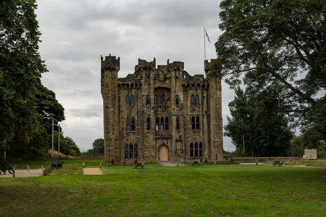
Hylton Castle

Hylton Castle ( HIL-tən) is a stone castle in the North Hylton area of Sunderland, Tyne and Wear, England. Originally built from wood by the Hilton (later...

Jarrow Roofing Boldon Community Association F.C.

Jarrow Roofing Boldon Community Association Football Club was a football club based in Boldon Colliery, near Sunderland, England. The club was founded...

Boldon Community Association F.C.

Boldon Community Association F.C. is an association football club that plays in the Northern Football League. The club was founded as Boldon Villa, joining...

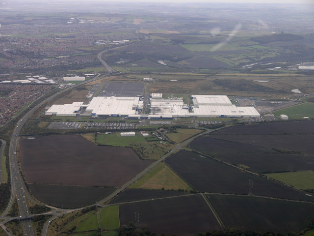
Nissan Motor Manufacturing UK

Nissan Motor Manufacturing (UK) Ltd (NMUK) is a British subsidiary car manufacturing plant in Sunderland. It is owned and operated by the European division...

Nearby Amenities

Located within 500m of 54.935568,-1.4555086
Bus Stop
DOWNHILL LANE-DOWNHILL FARM-N/B
Bench: no
Covered: no
Local Ref: N
Naptan AtcoCode: 410000016101
Naptan Bearing: N
Naptan CommonName: DOWNHILL LANE-DOWNHILL FARM-N/B
Naptan Indicator: N
Naptan Landmark: OPPOSITE DOWNHILL FARM
Naptan NaptanCode: twrdjpam
Naptan Street: DOWNHILL LANE
Naptan Verified: no
Shelter: no
Source: naptan_import
Lat/Long: 54.9376776/-1.4593684
Bus Stop
DOWNHILL LANE-LAWN DRIVE-N/B
Bench: no
Covered: no
Local Ref: N
Naptan AtcoCode: 410000016102
Naptan Bearing: N
Naptan CommonName: DOWNHILL LANE-LAWN DRIVE-N/B
Naptan Indicator: N
Naptan Landmark: OUTSIDE LINDEN HOUSE
Naptan NaptanCode: twrdjpap
Naptan Street: DOWNHILL LANE
Naptan Verified: no
Shelter: no
Source: naptan_import
Lat/Long: 54.9398462/-1.4567748
Bus Stop
DOWNHILL LANE-LAWN DRIVE-S/B
Bench: no
Bus: yes
Covered: no
Departures Board: timetable
Local Ref: S
Naptan AtcoCode: 410000016131
Naptan Bearing: S
Naptan CommonName: DOWNHILL LANE-LAWN DRIVE-S/B
Naptan Indicator: S
Naptan Landmark: OPPOSITE LINDEN HOUSE
Naptan NaptanCode: twrdjpmt
Naptan Street: DOWNHILL LANE
Naptan Verified: no
Public Transport: platform
Shelter: no
Source: naptan_import
Lat/Long: 54.9398986/-1.4565064
Bus Stop
DOWNHILL LANE-DOWNHILL FARM-S/B
Bench: no
Bus: yes
Covered: yes
Local Ref: S
Naptan AtcoCode: 410000016132
Naptan Bearing: S
Naptan CommonName: DOWNHILL LANE-DOWNHILL FARM-S/B
Naptan Indicator: S
Naptan Landmark: OUTSIDE DOWNHILL FARM
Naptan NaptanCode: twrdjpmw
Naptan Street: DOWNHILL LANE
Naptan Verified: no
Public Transport: platform
Shelter: no
Source: naptan_import
Lat/Long: 54.9376189/-1.4591572
Bus Stop
BAXTER ROAD-BIRRELL SQUARE-N/B
Local Ref: N
Naptan AtcoCode: 410000023818
Naptan Bearing: N
Naptan CommonName: BAXTER ROAD-BIRRELL SQUARE-N/B
Naptan Indicator: N
Naptan Landmark: OPPOSITE YORK HOUSE
Naptan NaptanCode: twrdtpdj
Naptan PlusbusZoneRef: SNDRLND
Naptan Street: BAXTER ROAD
Naptan Verified: no
Source: naptan_import
Lat/Long: 54.9314057/-1.4554864
Bus Stop
BAXTER ROAD-BLAYDON AVENUE-S/B
Local Ref: S
Naptan AtcoCode: 410000024236
Naptan Bearing: S
Naptan CommonName: BAXTER ROAD-BLAYDON AVENUE-S/B
Naptan Indicator: S
Naptan Landmark: OUTSIDE BLAYDON AVENUE
Naptan NaptanCode: twrdwgjp
Naptan PlusbusZoneRef: SNDRLND
Naptan Street: BAXTER ROAD
Naptan Verified: no
Source: naptan_import
Lat/Long: 54.9311256/-1.4551624
Power: tower
Lat/Long: 54.9367459/-1.4513816
Power: tower
Lat/Long: 54.9373142/-1.4529505
Power: tower
Lat/Long: 54.9384047/-1.455244
Power: tower
Lat/Long: 54.9386543/-1.4579255
Power: tower
Lat/Long: 54.9388843/-1.4576003
Power: tower
Lat/Long: 54.9385755/-1.4551242
Power: tower
Lat/Long: 54.9375769/-1.4529448
Power: tower
Lat/Long: 54.9330205/-1.4567097
Power: tower
Lat/Long: 54.9335712/-1.451027
Power: tower
Lat/Long: 54.9330498/-1.4538404
Power: tower
Lat/Long: 54.9328018/-1.4567785
Power: tower
Lat/Long: 54.9340322/-1.4595925
Power: tower
Lat/Long: 54.9341867/-1.4593834
Man Made: tower
Tower Type: communication
Lat/Long: 54.934998/-1.4521032
Power: tower
Lat/Long: 54.9353853/-1.4626873
Power: tower
Lat/Long: 54.9355169/-1.4624331
Power: tower
Lat/Long: 54.9385694/-1.460438
Power: tower
Lat/Long: 54.9388166/-1.4602972
Boldon Hills
Ele: 92
Natural: peak
Lat/Long: 54.9353553/-1.4554678
Generator Method: photovoltaic
Generator Output Electricity: yes
Generator Source: solar
Generator Type: solar_photovoltaic_panel
Location: roof
Power: generator
Lat/Long: 54.931266/-1.4537519
Generator Method: photovoltaic
Generator Output Electricity: yes
Generator Source: solar
Generator Type: solar_photovoltaic_panel
Location: roof
Power: generator
Lat/Long: 54.9313292/-1.453473
Generator Method: photovoltaic
Generator Output Electricity: yes
Generator Source: solar
Generator Type: solar_photovoltaic_panel
Location: roof
Power: generator
Lat/Long: 54.9313446/-1.4534059
Generator Method: photovoltaic
Generator Output Electricity: yes
Generator Source: solar
Generator Type: solar_photovoltaic_panel
Location: roof
Power: generator
Lat/Long: 54.9313616/-1.4533335
Generator Method: photovoltaic
Generator Output Electricity: yes
Generator Source: solar
Generator Type: solar_photovoltaic_panel
Location: roof
Power: generator
Lat/Long: 54.9314217/-1.4580166
Generator Method: photovoltaic
Generator Output Electricity: yes
Generator Source: solar
Generator Type: solar_photovoltaic_panel
Location: roof
Power: generator
Lat/Long: 54.9311289/-1.4564556
Generator Method: photovoltaic
Generator Output Electricity: yes
Generator Source: solar
Generator Type: solar_photovoltaic_panel
Location: roof
Power: generator
Lat/Long: 54.9312167/-1.4562008
Generator Method: photovoltaic
Generator Output Electricity: yes
Generator Source: solar
Generator Type: solar_photovoltaic_panel
Location: roof
Power: generator
Lat/Long: 54.9312953/-1.455895
Generator Method: photovoltaic
Generator Output Electricity: yes
Generator Source: solar
Generator Type: solar_photovoltaic_panel
Location: roof
Power: generator
Lat/Long: 54.9315095/-1.4559406
Generator Method: photovoltaic
Generator Output Electricity: yes
Generator Source: solar
Generator Type: solar_photovoltaic_panel
Location: roof
Power: generator
Lat/Long: 54.9315542/-1.4559567
Generator Method: photovoltaic
Generator Output Electricity: yes
Generator Source: solar
Generator Type: solar_photovoltaic_panel
Location: roof
Power: generator
Lat/Long: 54.9317854/-1.4562142
Generator Method: photovoltaic
Generator Output Electricity: yes
Generator Source: solar
Generator Type: solar_photovoltaic_panel
Location: roof
Power: generator
Lat/Long: 54.9318162/-1.4562812
Generator Method: photovoltaic
Generator Output Electricity: yes
Generator Source: solar
Generator Type: solar_photovoltaic_panel
Location: roof
Power: generator
Lat/Long: 54.9318285/-1.456756
Generator Method: photovoltaic
Generator Output Electricity: yes
Generator Source: solar
Generator Type: solar_photovoltaic_panel
Location: roof
Power: generator
Lat/Long: 54.9318162/-1.456807
Generator Method: photovoltaic
Generator Output Electricity: yes
Generator Source: solar
Generator Type: solar_photovoltaic_panel
Location: roof
Power: generator
Lat/Long: 54.9316914/-1.4574346
Generator Method: photovoltaic
Generator Output Electricity: yes
Generator Source: solar
Generator Type: solar_photovoltaic_panel
Location: roof
Power: generator
Lat/Long: 54.9316035/-1.4573488
Generator Method: photovoltaic
Generator Output Electricity: yes
Generator Source: solar
Generator Type: solar_photovoltaic_panel
Location: roof
Power: generator
Lat/Long: 54.9315527/-1.4572924
Generator Method: photovoltaic
Generator Output Electricity: yes
Generator Source: solar
Generator Type: solar_photovoltaic_panel
Location: roof
Power: generator
Lat/Long: 54.9315034/-1.4577538
Generator Method: photovoltaic
Generator Output Electricity: yes
Generator Source: solar
Generator Type: solar_photovoltaic_panel
Location: roof
Power: generator
Lat/Long: 54.9313107/-1.4575526
Generator Method: photovoltaic
Generator Output Electricity: yes
Generator Source: solar
Generator Type: solar_photovoltaic_panel
Location: roof
Power: generator
Lat/Long: 54.9313693/-1.4565843
Generator Method: photovoltaic
Generator Output Electricity: yes
Generator Source: solar
Generator Type: solar_photovoltaic_panel
Location: roof
Power: generator
Lat/Long: 54.9313369/-1.4566594
Generator Method: photovoltaic
Generator Output Electricity: yes
Generator Source: solar
Generator Type: solar_photovoltaic_panel
Location: roof
Power: generator
Lat/Long: 54.9314926/-1.4570671
Generator Method: photovoltaic
Generator Output Electricity: yes
Generator Source: solar
Generator Type: solar_photovoltaic_panel
Location: roof
Power: generator
Lat/Long: 54.9323818/-1.4577779
Generator Method: photovoltaic
Generator Output Electricity: yes
Generator Source: solar
Generator Type: solar_photovoltaic_panel
Location: roof
Power: generator
Lat/Long: 54.9323463/-1.4577457
Generator Method: photovoltaic
Generator Output Electricity: yes
Generator Source: solar
Generator Type: solar_photovoltaic_panel
Location: roof
Power: generator
Lat/Long: 54.9323001/-1.4577055
Generator Method: photovoltaic
Generator Output Electricity: yes
Generator Source: solar
Generator Type: solar_photovoltaic_panel
Location: roof
Power: generator
Lat/Long: 54.9321568/-1.4575848
Generator Method: photovoltaic
Generator Output Electricity: yes
Generator Source: solar
Generator Type: solar_photovoltaic_panel
Location: roof
Power: generator
Lat/Long: 54.9321306/-1.4574695
Generator Method: photovoltaic
Generator Output Electricity: yes
Generator Source: solar
Generator Type: solar_photovoltaic_panel
Location: roof
Power: generator
Lat/Long: 54.9321136/-1.4575177
Generator Method: photovoltaic
Generator Output Electricity: yes
Generator Source: solar
Generator Type: solar_photovoltaic_panel
Location: roof
Power: generator
Lat/Long: 54.9321537/-1.4582446
Generator Method: photovoltaic
Generator Output Electricity: yes
Generator Source: solar
Generator Type: solar_photovoltaic_panel
Location: roof
Power: generator
Lat/Long: 54.9319842/-1.4580944
Generator Method: photovoltaic
Generator Output Electricity: yes
Generator Source: solar
Generator Type: solar_photovoltaic_panel
Location: roof
Power: generator
Lat/Long: 54.9320335/-1.4581507
Generator Method: photovoltaic
Generator Output Electricity: yes
Generator Source: solar
Generator Type: solar_photovoltaic_panel
Location: roof
Power: generator
Lat/Long: 54.9321598/-1.4581829
Generator Method: photovoltaic
Generator Output Electricity: yes
Generator Source: solar
Generator Type: solar_photovoltaic_panel
Location: roof
Power: generator
Lat/Long: 54.932203/-1.4582795
Generator Method: photovoltaic
Generator Output Electricity: yes
Generator Source: solar
Generator Type: solar_photovoltaic_panel
Location: roof
Power: generator
Lat/Long: 54.9321059/-1.4582017
Generator Method: photovoltaic
Generator Output Electricity: yes
Generator Source: solar
Generator Type: solar_photovoltaic_panel
Location: roof
Power: generator
Lat/Long: 54.9319194/-1.458537
Generator Method: photovoltaic
Generator Output Electricity: yes
Generator Source: solar
Generator Type: solar_photovoltaic_panel
Location: roof
Power: generator
Lat/Long: 54.9320196/-1.458596
Generator Method: photovoltaic
Generator Output Electricity: yes
Generator Source: solar
Generator Type: solar_photovoltaic_panel
Location: roof
Power: generator
Lat/Long: 54.9317145/-1.4590064
Generator Method: photovoltaic
Generator Output Electricity: yes
Generator Source: solar
Generator Type: solar_photovoltaic_panel
Location: roof
Power: generator
Lat/Long: 54.9317792/-1.4590466
Generator Method: photovoltaic
Generator Output Electricity: yes
Generator Source: solar
Generator Type: solar_photovoltaic_panel
Location: roof
Power: generator
Lat/Long: 54.9318809/-1.459516
Generator Method: photovoltaic
Generator Output Electricity: yes
Generator Source: solar
Generator Type: solar_photovoltaic_panel
Location: roof
Power: generator
Lat/Long: 54.9318301/-1.4594919
Generator Method: photovoltaic
Generator Output Electricity: yes
Generator Source: solar
Generator Type: solar_photovoltaic_panel
Location: roof
Power: generator
Lat/Long: 54.9317838/-1.4594758
Generator Method: photovoltaic
Generator Output Electricity: yes
Generator Source: solar
Generator Type: solar_photovoltaic_panel
Location: roof
Power: generator
Lat/Long: 54.9316682/-1.4594087
Barrier: rocks
Lat/Long: 54.9362907/-1.4603811
Down Hill
Ele: 90
Natural: peak
Lat/Long: 54.9346522/-1.4542858
Nanny Cow Hill
Natural: peak
Lat/Long: 54.9341245/-1.4522986
Power: pole
Lat/Long: 54.9384357/-1.4494742
The data included in this document is from www.openstreetmap.org. The data is made available under ODbL.

Have you been to Boldon Hills?

Leave your review of Boldon Hills below (or comments, questions and feedback).