Fitful Head
Hill, Mountain in Shetland
Scotland
Fitful Head
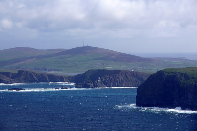
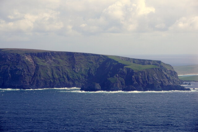
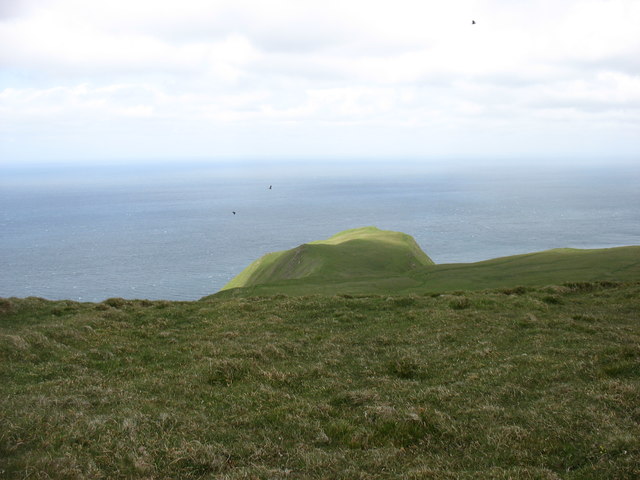
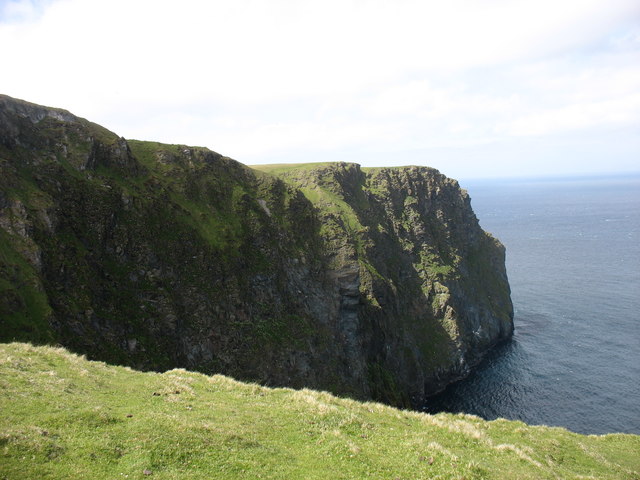
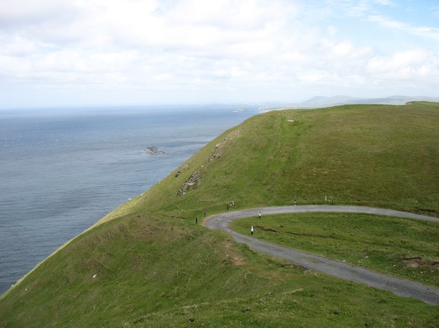
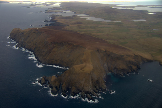
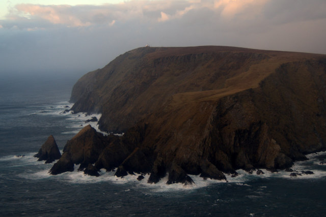
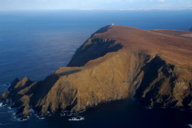
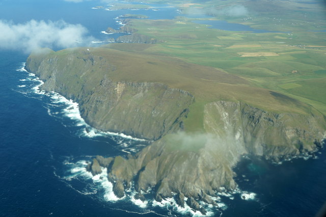
Fitful Head is a prominent hill located on the southwestern coast of the Shetland Islands, an archipelago in Scotland. Rising to a height of 200 meters (656 feet), it offers breathtaking panoramic views of the surrounding rugged landscape and the North Atlantic Ocean.
Situated in the parish of Sandsting, Fitful Head is known for its distinctive rocky cliffs and grassy slopes. The hill is composed mainly of sandstone and schist, giving it a unique geological makeup. Its exposed location makes it susceptible to strong winds and harsh weather conditions, adding to its wild and untamed allure.
Fitful Head is a popular destination for hikers and nature enthusiasts due to its stunning scenery and diverse wildlife. The hill is home to various bird species, including fulmars, puffins, and arctic skuas, making it a haven for birdwatching. Additionally, seals and otters can often be spotted along the nearby coastline.
The hill's name, Fitful Head, is believed to originate from the Old Norse words "fit" meaning "passage" and "fugl" meaning "bird." This etymology reflects the historical importance of the area as a migratory route for birds.
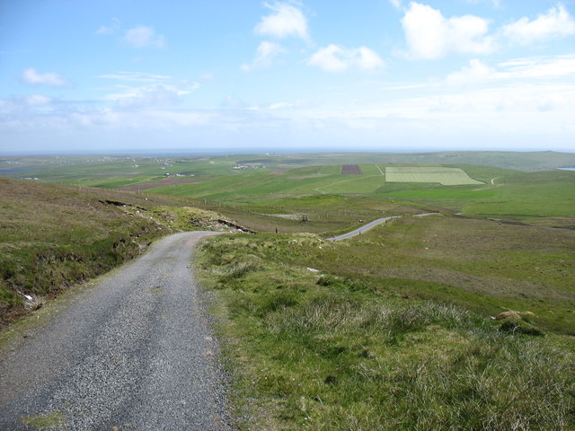
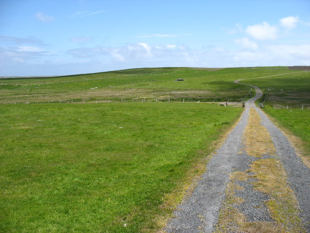
The surrounding area offers several walking trails, allowing visitors to explore the hill and its surroundings. Fitful Head is also located near the picturesque village of Scousburgh, which provides amenities such as accommodations and local services.
Overall, Fitful Head is a natural gem in the Shetland Islands, attracting visitors with its rugged beauty, abundant wildlife, and captivating views of the North Atlantic.
If you have any feedback on the listing, please let us know in the comments section below.
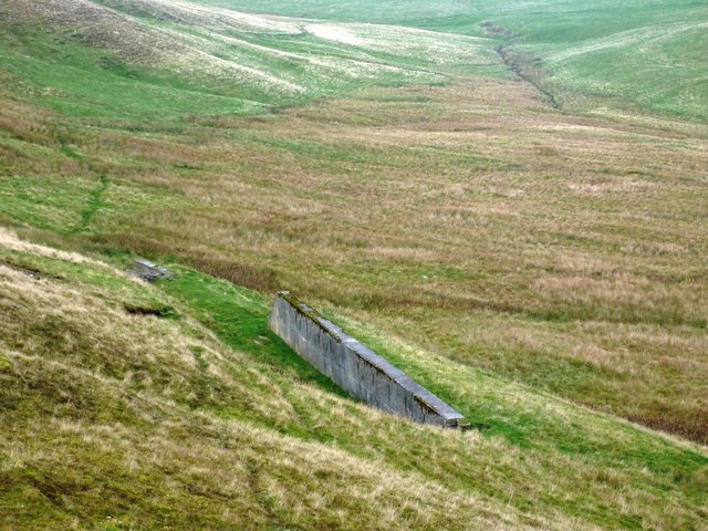
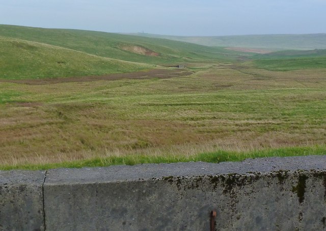
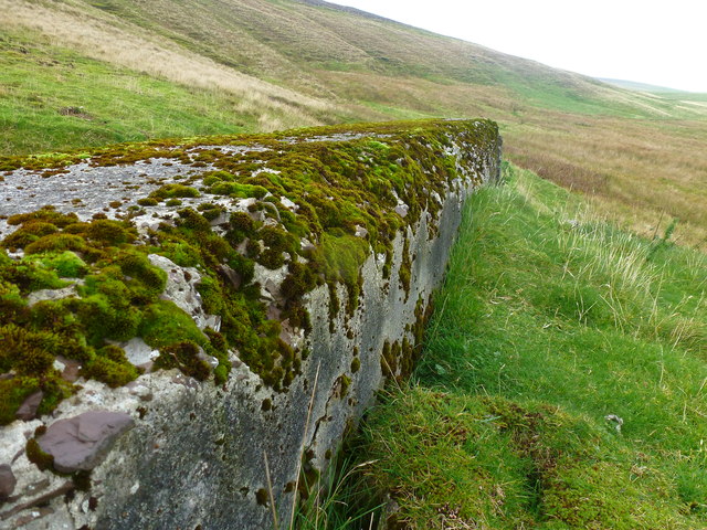
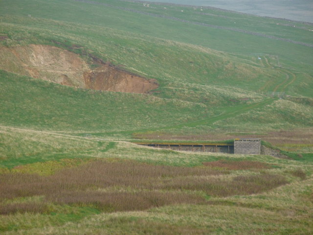
Fitful Head Images
Images are sourced within 2km of 59.905532/-1.3823158 or Grid Reference HU3413. Thanks to Geograph Open Source API. All images are credited.


Fitful Head is located at Grid Ref: HU3413 (Lat: 59.905532, Lng: -1.3823158)
Unitary Authority: Shetland Islands
Police Authority: Highlands and Islands
What 3 Words
///shoppers.dashes.anchovies. Near Sumburgh, Shetland Islands
Nearby Locations
Related Wikis

Fitful Head
Fitful Head is a 283-metre-high (928 ft) headland at the southwest corner of Mainland, Shetland, Scotland, some 6 kilometres (3.7 mi) northwest of the...

MV Braer
The MV Braer was an oil tanker which ran aground during a storm off Shetland, Scotland, in January 1993, and nearly a week later broke up during the most...

Lochs of Spiggie and Brow
The Lochs of Spiggie and Brow are located west of Boddam in the parish of Dunrossness, in the South Mainland of Shetland, Scotland, about 6 km north of...

Toab, Shetland
Toab is the southernmost village on Mainland, Shetland, Scotland. It is part of Virkie and overlooks Sumburgh Airport. Toab is within the parish of Dunrossness...
Nearby Amenities
Located within 500m of 59.905532,-1.3823158Have you been to Fitful Head?
Leave your review of Fitful Head below (or comments, questions and feedback).