Burn Hill
Hill, Mountain in Durham
England
Burn Hill
Burn Hill, located in Durham, is a prominent hill/mountain that stands tall at an elevation of approximately 382 meters (1,253 feet). Situated in the northern outskirts of Durham city, it is an iconic landmark in the region. This natural formation is part of the broader Pennine Range, which stretches across northern England.
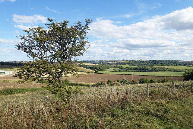
Characterized by its steep slopes and rugged terrain, Burn Hill offers breathtaking panoramic views of the surrounding landscape. Its summit provides an ideal vantage point, allowing visitors to admire the picturesque Durham countryside, with its rolling green hills, meandering rivers, and charming villages.
The hill is primarily covered in heather and grasses, which give it a distinctive appearance depending on the season. During spring and summer, vibrant wildflowers add splashes of color to the landscape. Burn Hill also serves as a habitat for a variety of wildlife, including birds, rabbits, and deer.
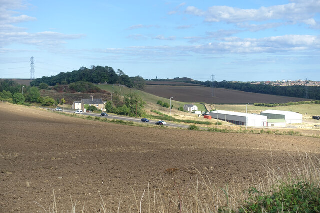
The area surrounding Burn Hill is a popular destination for outdoor enthusiasts and nature lovers. Hiking and walking trails crisscross the hill, providing opportunities for exploration and adventure. The more adventurous may even attempt to scale Burn Hill, although this requires experience and proper equipment due to the challenging terrain.
As a significant geological feature, Burn Hill has played a role in shaping the local history and culture. It has been a source of inspiration for artists, writers, and photographers, who seek to capture its beauty and ruggedness. Additionally, the hill has been a site of archaeological interest, with various artifacts and remains dating back to the Iron Age and Roman period discovered in the vicinity.
In summary, Burn Hill in Durham is a striking natural landmark that offers stunning views, diverse wildlife, and recreational opportunities for outdoor enthusiasts. Its rich history and picturesque scenery make it a must-visit location for those exploring the Durham region.
If you have any feedback on the listing, please let us know in the comments section below.
Burn Hill Images
Images are sourced within 2km of 54.878413/-1.4694487 or Grid Reference NZ3453. Thanks to Geograph Open Source API. All images are credited.


Burn Hill is located at Grid Ref: NZ3453 (Lat: 54.878413, Lng: -1.4694487)
Unitary Authority: Sunderland
Police Authority: Northumbria
What 3 Words
///prep.flags.rang. Near Washington, Tyne & Wear
Nearby Locations
Related Wikis

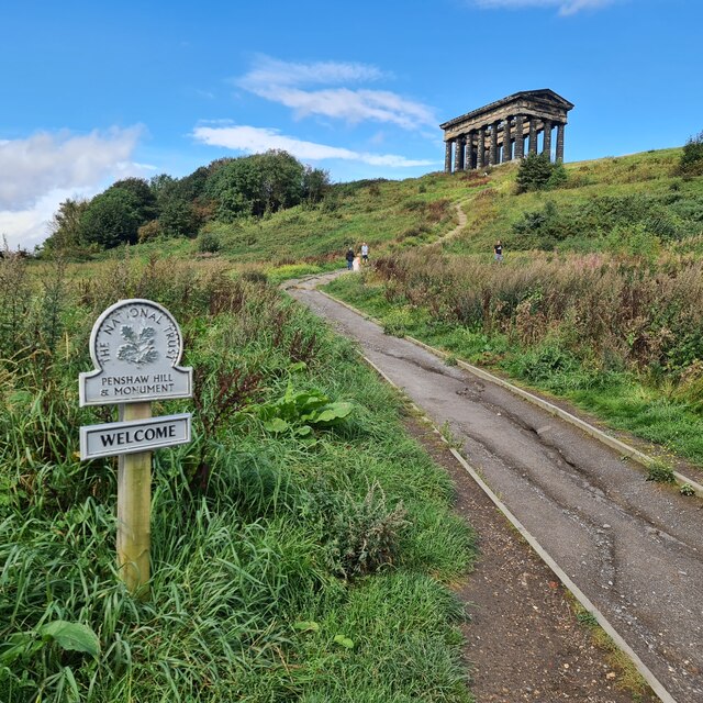
Herrington Country Park
Herrington Country Park is a country park and open public space in Sunderland, Tyne and Wear. Located adjacent to Penshaw Monument, the park was built...

Offerton, Tyne and Wear
Offerton is a hamlet in the Sunderland district, of Tyne and Wear, England. It is situated about 4 miles (6.4 km) west of Sunderland city centre. ��2...

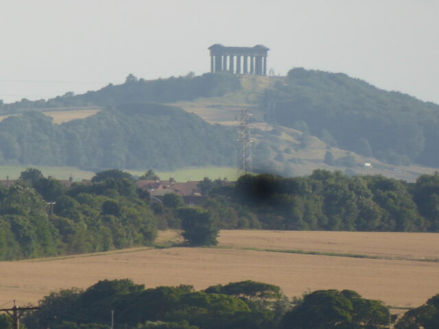
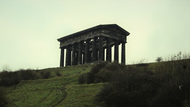
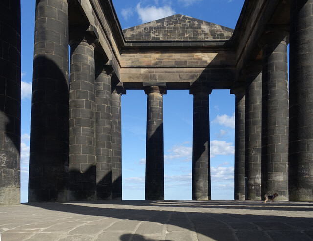
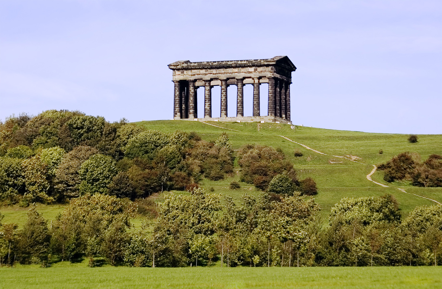
Penshaw Monument
The Penshaw Monument (officially the Earl of Durham's Monument) is a memorial in the style of an ancient Greek temple on Penshaw Hill in the metropolitan...
Penshaw
The village of Penshaw locally , formerly known as Painshaw or Pensher, is an area of the metropolitan district of the City of Sunderland, in Tyne and...
Nearby Amenities
Located within 500m of 54.878413,-1.4694487Have you been to Burn Hill?
Leave your review of Burn Hill below (or comments, questions and feedback).