Bunker's Hill
Hill, Mountain in Derbyshire Amber Valley
England
Bunker's Hill
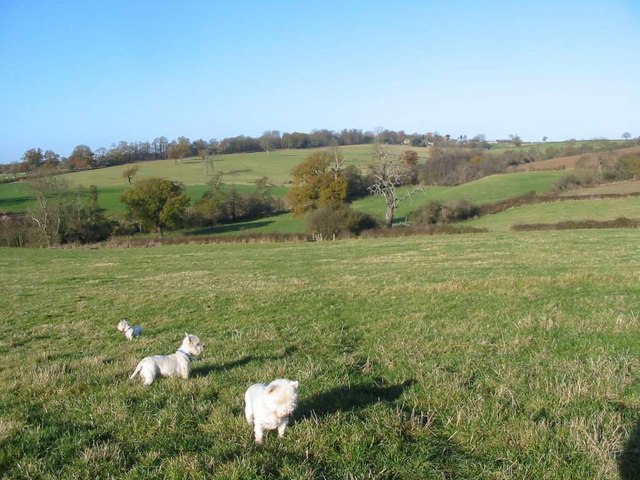
Bunker's Hill is a prominent hill located in the county of Derbyshire, England. It is situated in the southern part of the county, near the town of Matlock. Standing at an elevation of approximately 350 meters (1,150 feet), it offers picturesque views of the surrounding countryside and is a popular spot for nature enthusiasts and hikers.
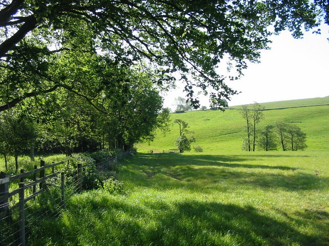
The hill is known for its distinctive conical shape, making it easily recognizable from a distance. It is composed mainly of limestone, which gives it a unique geological character. The area surrounding Bunker's Hill is rich in flora and fauna, with a diverse range of plant species and wildlife, providing a haven for nature lovers.
Historically, Bunker's Hill has played a significant role in the local community. It has been used as a meeting point, a place for recreational activities, and a site for various events. The hill's name is believed to have originated from a nearby farm called "Bunker's Hill Farm," which was named after a family who once owned the land.
Today, Bunker's Hill continues to attract visitors who come to appreciate its natural beauty and explore the walking trails that traverse the hill. The pathways allow hikers to reach the summit, where they can enjoy panoramic vistas of the rolling hills and valleys that stretch out before them.
Overall, Bunker's Hill in Derbyshire offers a tranquil escape from urban life, providing a perfect blend of natural beauty, historical significance, and recreational opportunities for all to enjoy.
If you have any feedback on the listing, please let us know in the comments section below.
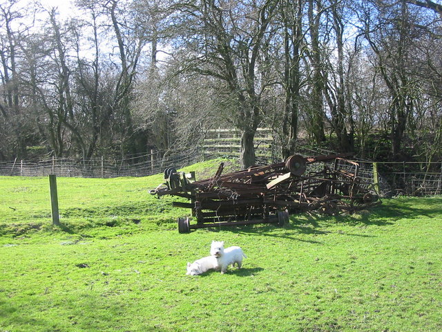
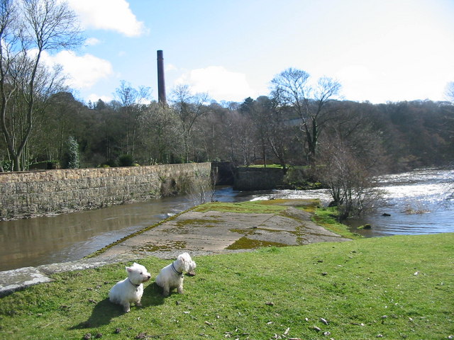
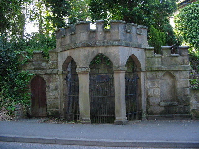
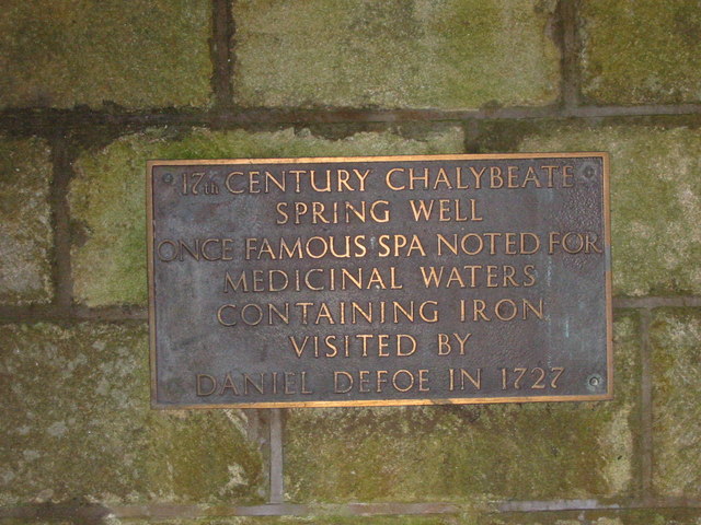
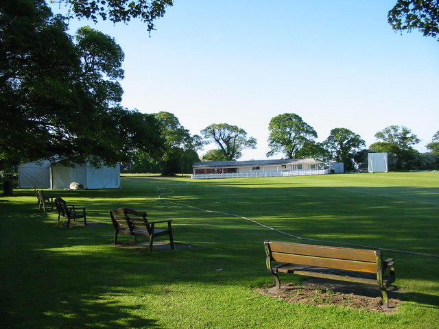
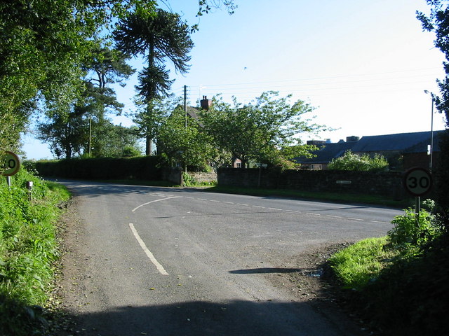
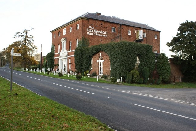
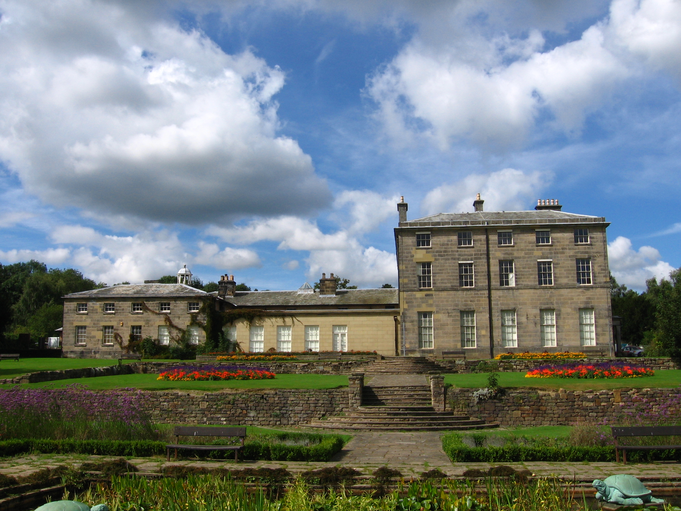
Bunker's Hill Images
Images are sourced within 2km of 52.967809/-1.4954474 or Grid Reference SK3341. Thanks to Geograph Open Source API. All images are credited.


Bunker's Hill is located at Grid Ref: SK3341 (Lat: 52.967809, Lng: -1.4954474)
Administrative County: Derbyshire
District: Amber Valley
Police Authority: Derbyshire
What 3 Words
///chin.staple.chefs. Near Duffield, Derbyshire
Nearby Locations
Related Wikis

Quarndon
Quarndon is a linear village in the south of the Amber Valley District of Derbyshire, England. It is spread along four minor upland roads, approximately...

St Paul's Church, Quarndon
St Paul's Church, Quarndon is a Grade II listed parish church in the Church of England: 300 in Quarndon, Derbyshire. == History == The old church was...
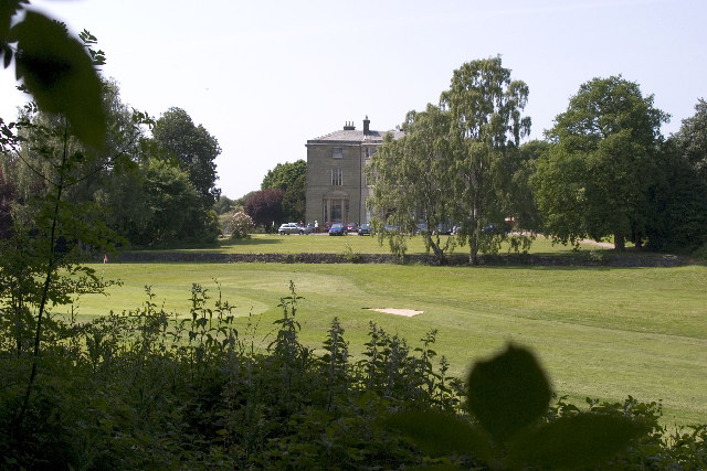
Allestree Hall
Allestree Hall is a 19th-century former country house situated in Allestree Park, Allestree, Derby. It is a Grade II* listed building but has been unoccupied...
Burley Hill
Burley Hill is a hamlet in the Erewash district, in the county if Derbyshire, England. It is located one mile north of Allestree. Burley Hill was the location...

Allestree Woodlands School
Allestree Woodlands School (formerly Woodlands School) is a coeducational academy secondary school and sixth form in Derby, England. == Admissions == The...
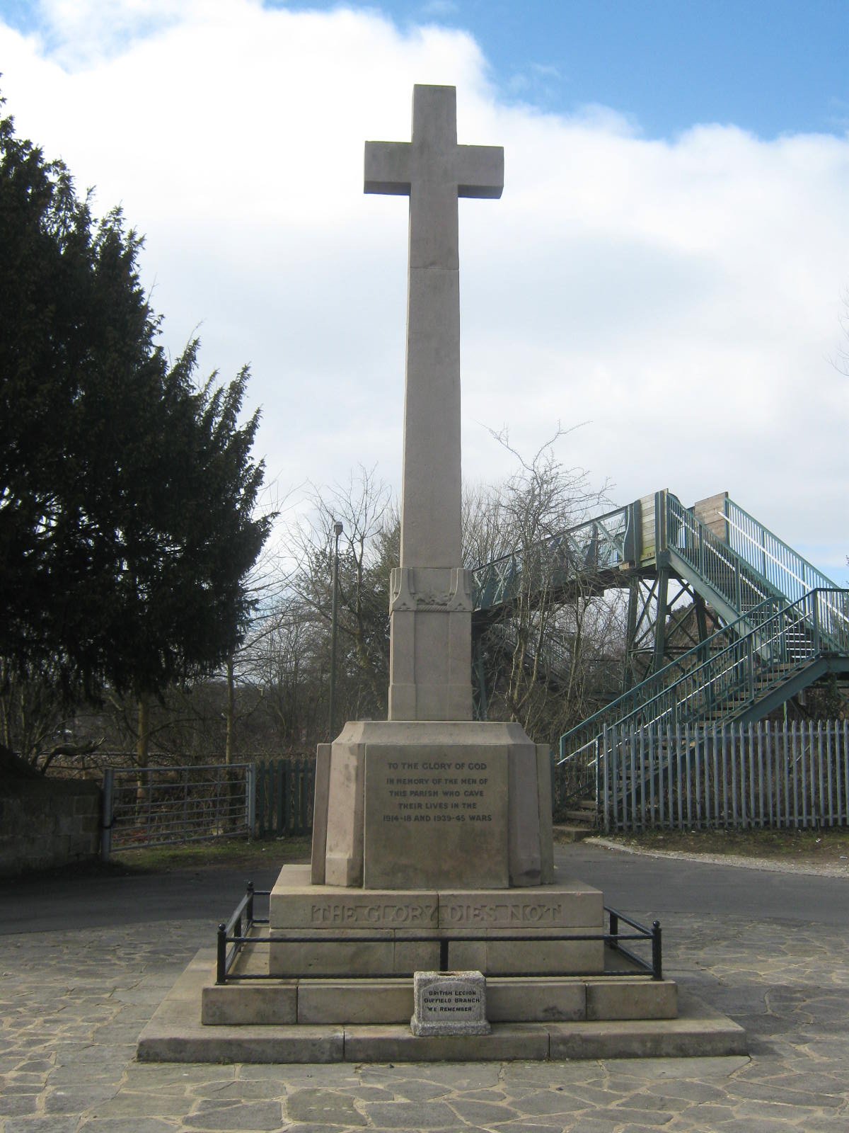
Duffield War Memorial
Duffield War Memorial is a 20th-century grade II listed war memorial in Duffield, Derbyshire. == History == The war memorial, which stands outside St Alkmund...

St Alkmund's Church, Duffield
Saint Alkmund's Church is a parish church in the Church of England in Duffield, Derbyshire. == History == It dates back to the first millennium, and is...
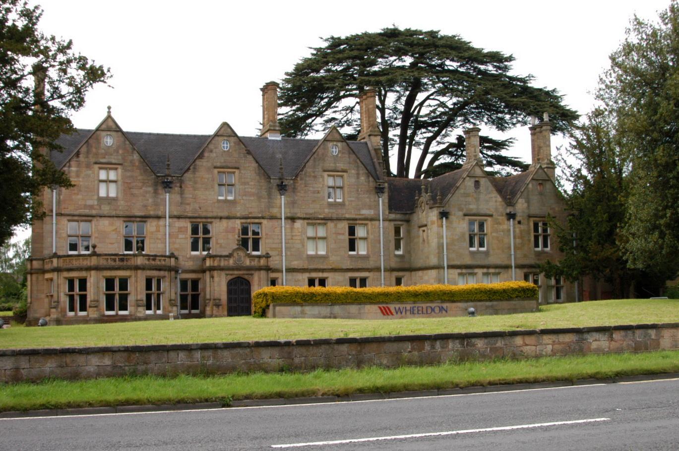
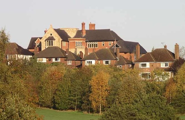
Duffield Hall
Duffield Hall is a 17th-century country house situated in the Amber Valley, Derbyshire and the former headquarters of the Derbyshire Building Society....
Nearby Amenities
Located within 500m of 52.967809,-1.4954474Have you been to Bunker's Hill?
Leave your review of Bunker's Hill below (or comments, questions and feedback).