Bank Hill

Hill, Mountain in Yorkshire Harrogate

England

Bank Hill

"The Travellers Rest" public house On the A659 between Collingham and Harewood
"The Travellers Rest" public house Credit: John Armitstead

Bank Hill is a small hill located in the picturesque region of Yorkshire, England. Situated in the southern part of the county, it belongs to the wider area known as the Yorkshire Dales. Despite its name, Bank Hill is more accurately described as a gentle slope rather than a towering mountain.

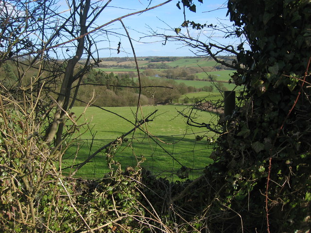
Standing at an elevation of approximately 300 meters above sea level, Bank Hill offers visitors stunning panoramic views of the surrounding countryside. The hill is covered in lush green grass and dotted with patches of colorful wildflowers during the spring and summer months, creating a picturesque landscape that attracts hikers and nature enthusiasts alike.

The hill is easily accessible, with a well-maintained footpath leading to the summit. The path winds its way through the rolling countryside, allowing walkers to take in the natural beauty of the area. Along the route, there are occasional benches and resting spots where visitors can pause to admire the views or have a picnic.

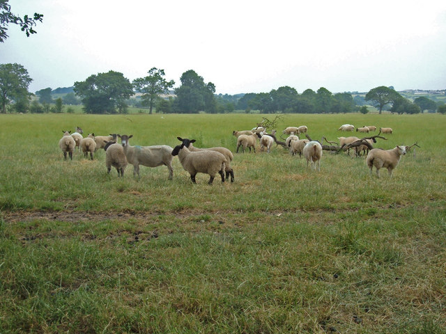
Bank Hill is also home to a variety of wildlife, including rabbits, foxes, and various species of birds. It provides a habitat for many native plants and trees, contributing to the biodiversity of the area.

Bank Hill is a popular destination for both locals and tourists seeking a peaceful and scenic retreat. Its tranquil atmosphere and captivating views make it an ideal spot for relaxation and reconnecting with nature. Whether it's a leisurely stroll or a more challenging hike, Bank Hill offers something for everyone.

If you have any feedback on the listing, please let us know in the comments section below.
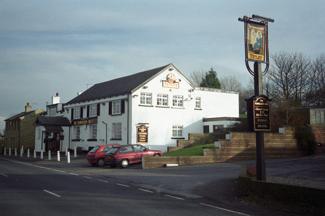
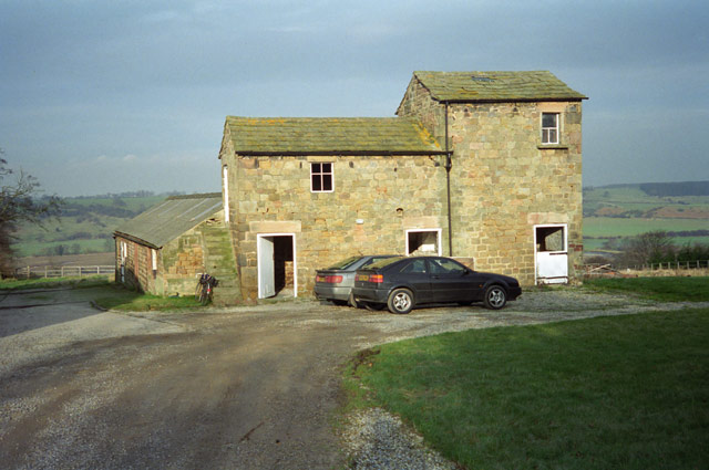
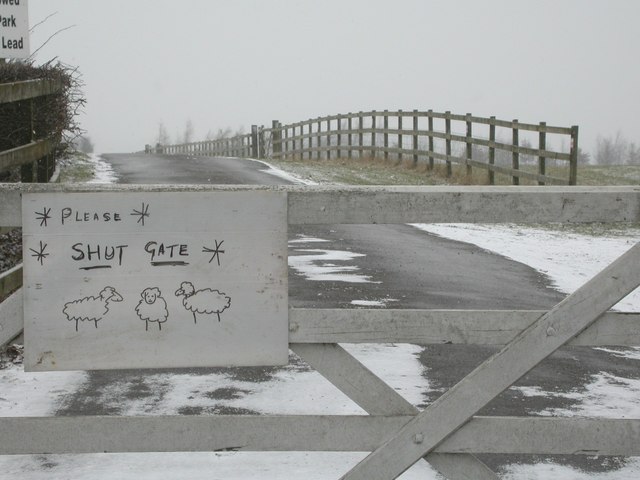
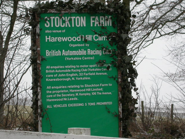
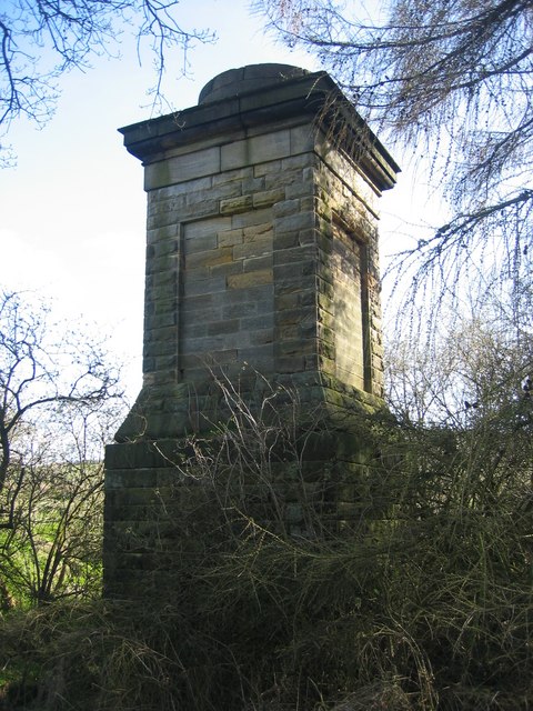
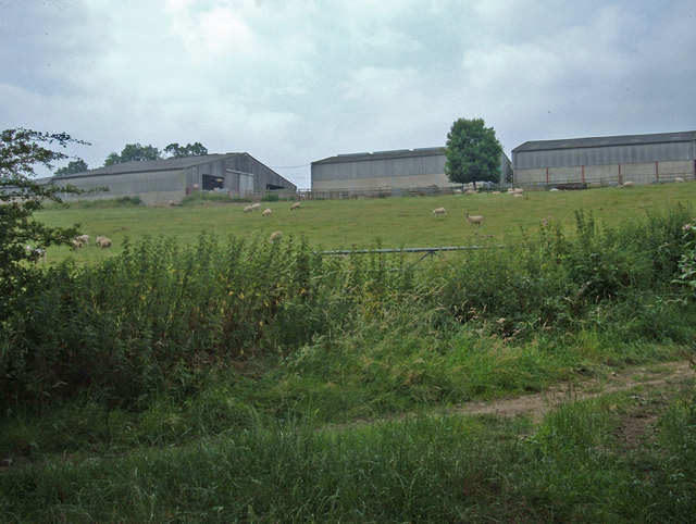
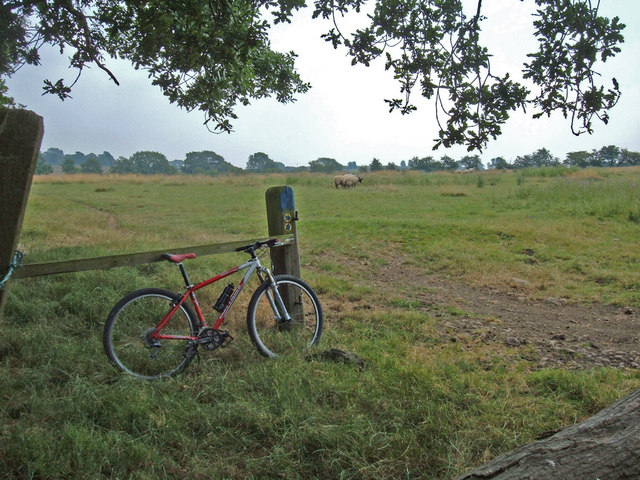
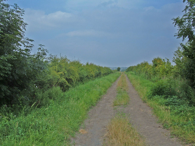
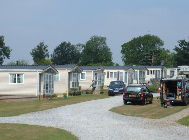
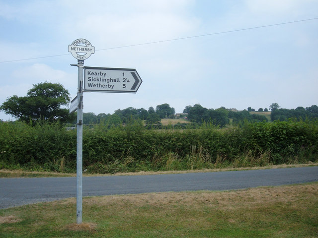
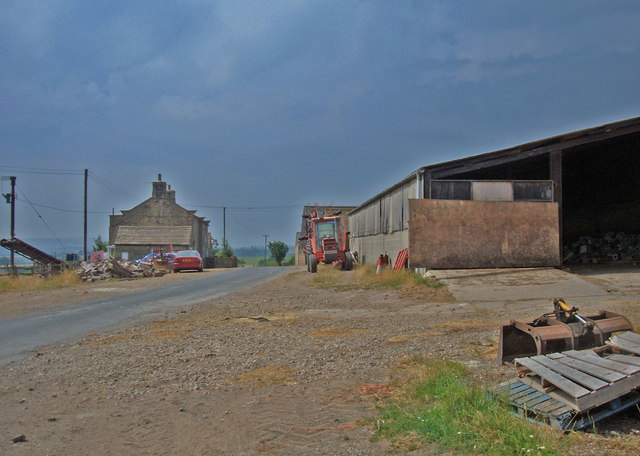
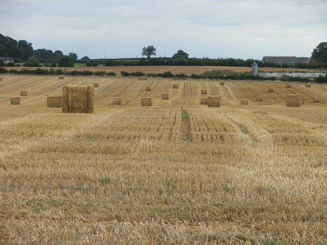
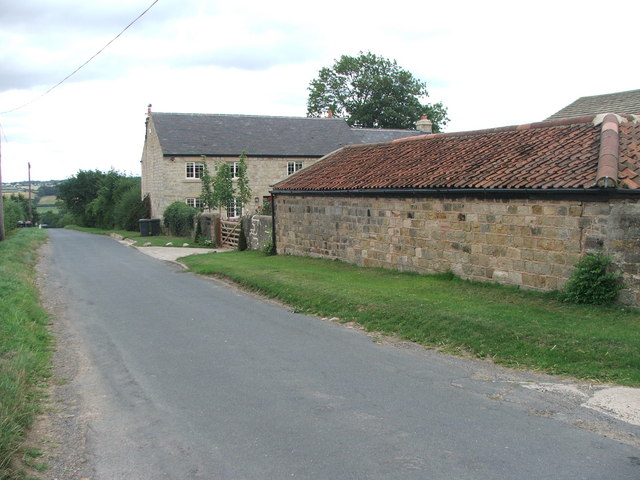
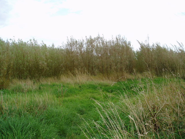
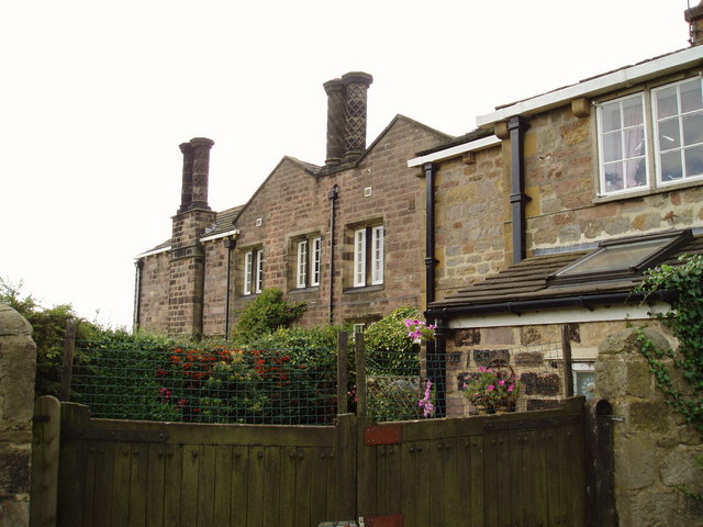
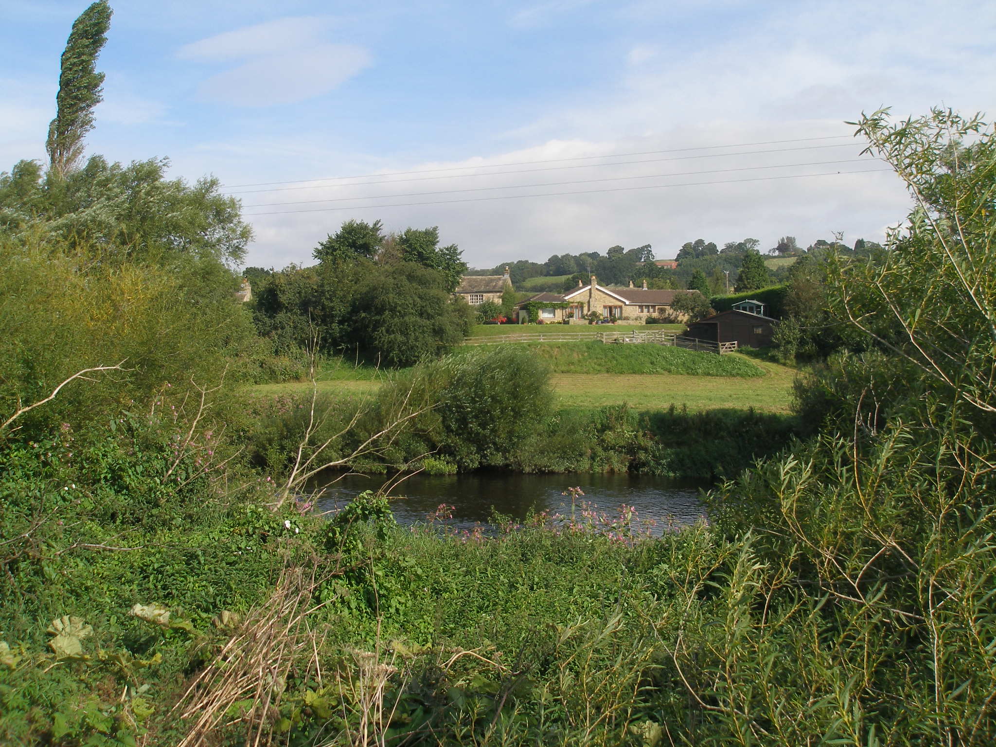
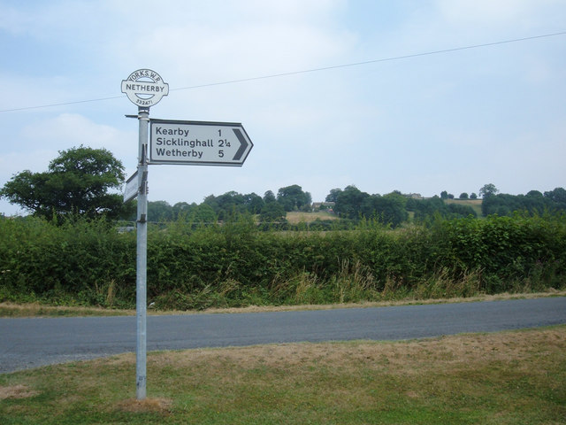
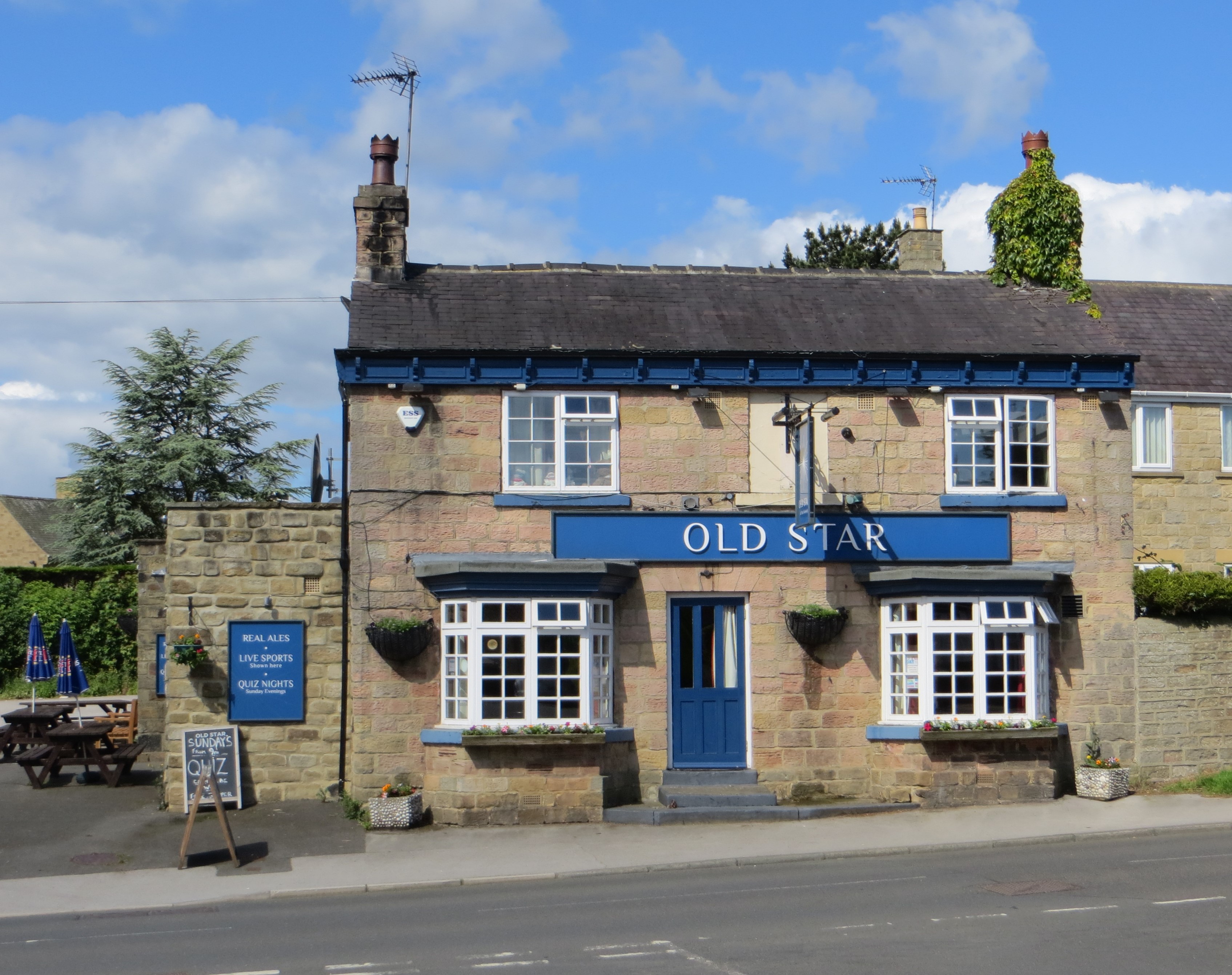
Bank Hill Images

Images are sourced within 2km of 53.912751/-1.4843308 or Grid Reference SE3346. Thanks to Geograph Open Source API. All images are credited.

"The Travellers Rest" public house On the A659 between Collingham and Harewood
"The Travellers Rest" public house
On the A659 between Collingham and Harewood
Farm buildings at Farfield, East Keswick No longer a working farm
Farm buildings at Farfield, East Keswick
No longer a working farm
Gateway to Stockton Farm A Hill Climb at Stockton Farm, Harewood is a favourite venue for motor-sport enthusiasts.
Gateway to Stockton Farm
A Hill Climb at Stockton Farm, Harewood is a favourite venue for motor-sport enthusiasts.
Harewood Hill Climb Sign at the entrance to Stockton Farm.
Harewood Hill Climb
Sign at the entrance to Stockton Farm.
Chimney This old chimney is located on the footpath south of the River Wharfe in the south-west corner of this square. I can't find any more information about it and it is not shown on any map I have.
Chimney
This old chimney is located on the footpath south of the River Wharfe in the south-west corner of this square. I can't find any more information about it and it is not shown on any map I have.
Hedge View Looking through the hedge across the valley from the north-west corner of this square. The River Wharfe is just visible in the distance.
Hedge View
Looking through the hedge across the valley from the north-west corner of this square. The River Wharfe is just visible in the distance.
Sheep Pasture, Barrowby Looking northeast across grazing land from where the Keepers' Walk bridleway meets the Marsh Lane bridleway near Lund head farm, Barrowby.
Sheep Pasture, Barrowby
Looking northeast across grazing land from where the Keepers' Walk bridleway meets the Marsh Lane bridleway near Lund head farm, Barrowby.
Lund Head Farm, Barrowby View west from where the bridleways Marsh Lane and Keepers' Walk meet. Marsh Lane is the track in the foreground. Turn left onto it for a splendid half mile stretch of singletrack between hedgerows.
Lund Head Farm, Barrowby
View west from where the bridleways Marsh Lane and Keepers' Walk meet. Marsh Lane is the track in the foreground. Turn left onto it for a splendid half mile stretch of singletrack between hedgerows.
Which way? Here the Marsh Lane bridleway splits. Left to Addlethorpe Wood and Sicklinghall; right towards Beck View Farm and Clap Gate. Either way, just follow the blue-topped posts. I turned right.
Which way?
Here the Marsh Lane bridleway splits. Left to Addlethorpe Wood and Sicklinghall; right towards Beck View Farm and Clap Gate. Either way, just follow the blue-topped posts. I turned right.
Bridleway to Spofforth This shot looks back up the last stretch of a 3-mile length of bridleway from Spofforth. The route is a mixture of double-track (like this), singletrack and indistinct lines alongside field boundaries. Great fun. View looking north from the minor road near Clap Gate.
Bridleway to Spofforth
This shot looks back up the last stretch of a 3-mile length of bridleway from Spofforth. The route is a mixture of double-track (like this), singletrack and indistinct lines alongside field boundaries. Great fun. View looking north from the minor road near Clap Gate.
Maustin Caravan Park, Netherby This caravan-cum-holiday chalet site is on the north bank of the River Wharfe in the secluded hamlet of Netherby.
Maustin Caravan Park, Netherby
This caravan-cum-holiday chalet site is on the north bank of the River Wharfe in the secluded hamlet of Netherby.
Signpost at Spring Moor This signpost is at the crossroads of Spring Lane/Wharfe Lane/Moor Lane just to the north of Netherby. Note "Yorks WR" (West Riding of Yorkshire) on the top of the post. I think the land to the north of the River Wharfe hereabouts is now in North Yorkshire. The illegible arm of the signpost is pointing up Moor Lane to Barrowby.
Signpost at Spring Moor
This signpost is at the crossroads of Spring Lane/Wharfe Lane/Moor Lane just to the north of Netherby. Note "Yorks WR" (West Riding of Yorkshire) on the top of the post. I think the land to the north of the River Wharfe hereabouts is now in North Yorkshire. The illegible arm of the signpost is pointing up Moor Lane to Barrowby.
Low Barrowby Farm Situated on Spring Lane between Netherby and the A61. Looking west towards the A61.
Low Barrowby Farm
Situated on Spring Lane between Netherby and the A61. Looking west towards the A61.
Farmland near Harewood. New Laithe Farm, North Leeds.
Farmland near Harewood.
New Laithe Farm, North Leeds.
Horseshoe. This old horseshoe has found a new use as a gate stay.
Horseshoe.
This old horseshoe has found a new use as a gate stay.
Vicarage Farm, East Keswick. On Moor Lane near Harewood, North Leeds.
Vicarage Farm, East Keswick.
On Moor Lane near Harewood, North Leeds.
Willow Coppice on Paddock House Farm These willows are being grown to provide a source of renewable energy.
Willow Coppice on Paddock House Farm
These willows are being grown to provide a source of renewable energy.
Decorative chimneys at Paddock House Farm Each chimney on this farm house has a different pattern.
Decorative chimneys at Paddock House Farm
Each chimney on this farm house has a different pattern.
Show me another place!

Bank Hill is located at Grid Ref: SE3346 (Lat: 53.912751, Lng: -1.4843308)

Division: West Riding

Administrative County: North Yorkshire

District: Harrogate

Police Authority: North Yorkshire

What 3 Words

///worm.suave.princes. Near East Keswick, West Yorkshire

Related Wikis

Netherby, North Yorkshire

Netherby is a village in the Harrogate district of North Yorkshire, England.

Harewood speed Hillclimb

Harewood speed Hillclimb (the form with italics and a lower-case s is used officially) is a hillclimb near the village of Harewood, West Yorkshire, England...

Kearby with Netherby

Kearby with Netherby is a civil parish in North Yorkshire, England. The parish includes the hamlets of Barrowby, Netherby and Kearby Town End. The parish...

Harewood Castle

Harewood Castle is a 14th-century stone hall house and courtyard fortress, located on the Harewood Estate, Harewood, in West Yorkshire, England (Grid Reference...

Knight Air Flight 816

Knight Air Flight 816, being flown by G-OEAA, an Embraer 110 Bandeirante belonging to Knight Air, was an internal (domestic) scheduled flight operating...

Harewood, West Yorkshire

Harewood ( HAIR-wuud) is a village, civil parish, former manor and ecclesiastical parish, in West Yorkshire, England, today in the metropolitan borough...

East Keswick

East Keswick is a village and civil parish in the City of Leeds metropolitan borough, West Yorkshire, England. It lies four miles south west of Wetherby...

Wood Hall Hotel and Spa

Wood Hall Hotel and Spa, Trip Lane, is an AA four-star, 44-room country house hotel with an AA two-rosette restaurant, about one mile from the English...

Nearby Amenities

Located within 500m of 53.912751,-1.4843308
Kearby
Is In: UK, Yorkshire, North Yorkshire, Wharfedale
Place: village
Lat/Long: 53.9145008/-1.4828286
Bank Hill
Natural: peak
Source: OS OpenData StreetView
Lat/Long: 53.913266/-1.4806826
Power: pole
Source: Bing
Lat/Long: 53.9119354/-1.4811216
Power: pole
Source: Bing
Lat/Long: 53.9146551/-1.4899342
Power: pole
Source: Bing
Lat/Long: 53.9142842/-1.4887823
Power: pole
Source: Bing
Lat/Long: 53.9134326/-1.486018
Power: pole
Source: Bing
Lat/Long: 53.9127156/-1.4836479
Power: pole
Lat/Long: 53.91187/-1.4790718
The data included in this document is from www.openstreetmap.org. The data is made available under ODbL.

Have you been to Bank Hill?

Leave your review of Bank Hill below (or comments, questions and feedback).