Blakelow Hill

Hill, Mountain in Derbyshire North East Derbyshire

England

Blakelow Hill

New road into Whitelea Nursery The nursery is doing some expansion with extra polytunnels, but it is also likely that some of the land will be used for new housing. The building on the left is a potting shed.
New road into Whitelea Nursery Credit: Bill Boaden

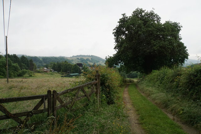
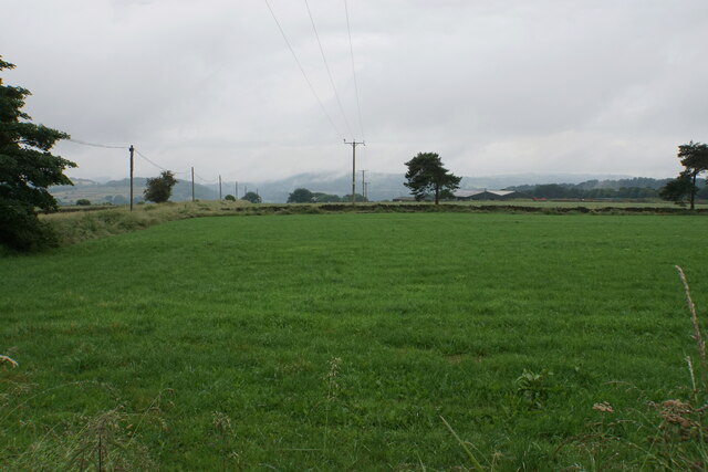
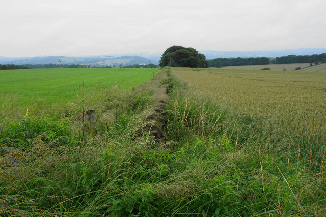
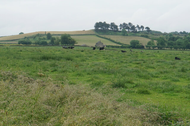
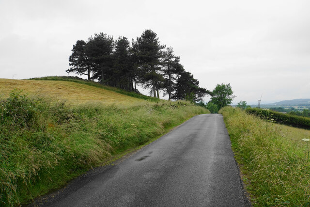
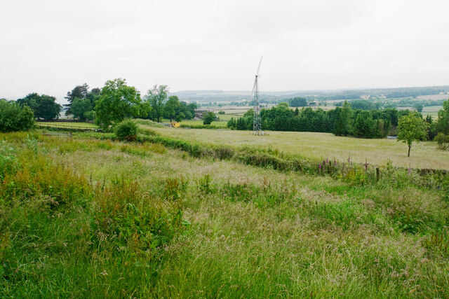
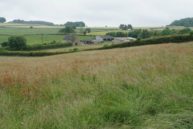
Blakelow Hill is a prominent natural landmark located in Derbyshire, England. Situated in the Peak District National Park, it is a notable hill that offers breathtaking views of the surrounding countryside. Blakelow Hill stands at an elevation of approximately 370 meters (1,214 feet) above sea level, making it an ideal spot for hikers, nature enthusiasts, and photographers.

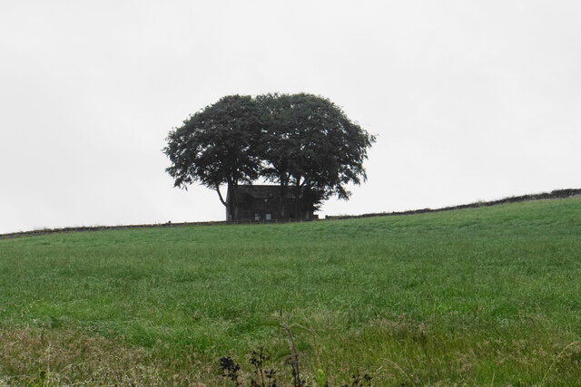
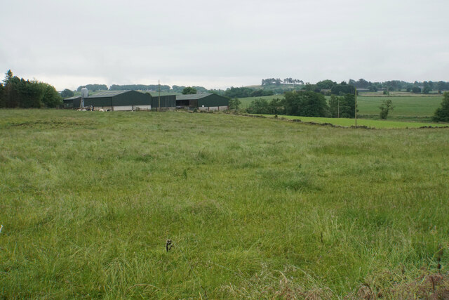
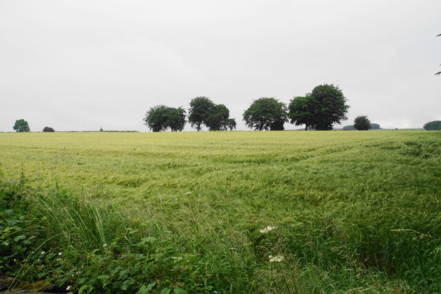
The hill is characterized by its steep slopes, covered in lush green vegetation, which adds to its scenic beauty. It is primarily made up of limestone, a common geological feature in the area. Blakelow Hill is renowned for its diverse flora and fauna, with various species of wildflowers, birds, and small mammals inhabiting its slopes.

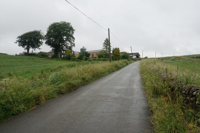
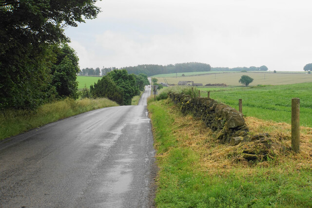
The hill is easily accessible by a network of footpaths and trails, which provide visitors with opportunities for leisurely walks or more challenging hikes. The Blakelow Circular Walk is a popular choice among locals and tourists alike, offering a scenic route that takes in the stunning views and natural beauty of the area.

Blakelow Hill is also steeped in history, with remnants of ancient settlements and burial mounds found on its slopes. These archaeological discoveries provide valuable insights into the area's past and are of great interest to historians and archaeologists.

Overall, Blakelow Hill is a picturesque and historically significant natural landmark in Derbyshire. Its stunning views, diverse wildlife, and rich cultural heritage make it a must-visit destination for those exploring the region.

If you have any feedback on the listing, please let us know in the comments section below.

Blakelow Hill Images

Images are sourced within 2km of 53.143573/-1.4950954 or Grid Reference SK3360. Thanks to Geograph Open Source API. All images are credited.

New road into Whitelea Nursery The nursery is doing some expansion with extra polytunnels, but it is also likely that some of the land will be used for new housing. The building on the left is a potting shed.
New road into Whitelea Nursery
The nursery is doing some expansion with extra polytunnels, but it is also likely that some of the land will be used for new housing. The building on the left is a potting shed.
Track down to Tansley A long-established track though it is not a public footpath.
Track down to Tansley
A long-established track though it is not a public footpath.
Home Farm Viewed from further down the hill on Whitelea Lane.
Home Farm
Viewed from further down the hill on Whitelea Lane.
Barn above Tansley Knoll Seen in profile from down the hill on Whitelea Lane.
Barn above Tansley Knoll
Seen in profile from down the hill on Whitelea Lane.
Field on Tansley Moor Part of a plateau of farmland. The Derwent valley can be seen in the background though the view is still affected by recent rain.
Field on Tansley Moor
Part of a plateau of farmland. The Derwent valley can be seen in the background though the view is still affected by recent rain.
Field by North Carolina Farm A view from Lant Lane with Blakelow Hill in the background.
Field by North Carolina Farm
A view from Lant Lane with Blakelow Hill in the background.
Lant Lodge Farm Viewed from Lant Lane. There are Belted Galloways in the field, quite a common breed locally..
Lant Lodge Farm
Viewed from Lant Lane. There are Belted Galloways in the field, quite a common breed locally..
Barley field by Lant Lane Part of the plateau of farmland between the Amber and Derwent valleys.
Barley field by Lant Lane
Part of the plateau of farmland between the Amber and Derwent valleys.
Passing place on Lant Lane The passing place is marked by the lines on the road, but the road is in fact not any wider here at all.
Passing place on Lant Lane
The passing place is marked by the lines on the road, but the road is in fact not any wider here at all.
Holestone Gate Road A fairly narrow and bumpy road that cuts through from the A632 to the A615 to miss out Matlock, but it is mostly straight.
Holestone Gate Road
A fairly narrow and bumpy road that cuts through from the A632 to the A615 to miss out Matlock, but it is mostly straight.
Ramshackle barn off Holestone Gate Road Not in the best state but still providing useful service as a store of silage bales.
Ramshackle barn off Holestone Gate Road
Not in the best state but still providing useful service as a store of silage bales.
Field boundary below Holestone Gate Road Despite the poor weather, the Derwent valley can be seen in the background with Riber Castle overlooking it.
Field boundary below Holestone Gate Road
Despite the poor weather, the Derwent valley can be seen in the background with Riber Castle overlooking it.
Farm buildings at Old Engine Farm A farm off Holestone Gate Road.
Farm buildings at Old Engine Farm
A farm off Holestone Gate Road.
Farm track and a field of oats Looking from Holestone Gate Road up to the top of the ridge near Cocking Tor.
Farm track and a field of oats
Looking from Holestone Gate Road up to the top of the ridge near Cocking Tor.
Cattle near Holestone Farm Blakelow Hill is only a small hill but still stands quite impressively behind the farm.
Cattle near Holestone Farm
Blakelow Hill is only a small hill but still stands quite impressively behind the farm.
Allen Lane On the top of Blakelow Hill.
Allen Lane
On the top of Blakelow Hill.
Access land on Blakelow Hill There is a small plot of access land on the western side of Blakelow Hill but it appears to be impenetrable scrub and there is no obvious way into it. The wind turbine belongs to Blakelow Farm which is in the trees.
Access land on Blakelow Hill
There is a small plot of access land on the western side of Blakelow Hill but it appears to be impenetrable scrub and there is no obvious way into it. The wind turbine belongs to Blakelow Farm which is in the trees.
The northern side of Blakelow Farm Looking down towards Holestone Farm.
The northern side of Blakelow Farm
Looking down towards Holestone Farm.
Show me another place!

Blakelow Hill is located at Grid Ref: SK3360 (Lat: 53.143573, Lng: -1.4950954)

Administrative County: Derbyshire

District: North East Derbyshire

Police Authority: Derbyshire

What 3 Words

///dynasties.finally.doghouse. Near Tansley, Derbyshire

Nearby Locations

Blakelow Hill

Related Wikis

Milltown, Derbyshire

Milltown is a village in Derbyshire, England. It is located 1 mile south east of Ashover and is part of Ashover civil parish. To the north of the village...

Holy Trinity Church, Tansley

Holy Trinity Church, Tansley is a parish church in the Church of England in Tansley, Derbyshire. == History == The foundation stone was laid on 1 May 1839...

Milltown railway station (Derbyshire)

Milltown railway station served the village of Milltown, Derbyshire, England, from 1925 to 1936 on the Ashover Light Railway. == History == The station...

Milltown Methodist Church

Milltown Methodist Church (known alternatively as Milltown Chapel, Milltown Primitive Methodist Chapel and Ashover Hay Primitive Methodist Chapel) is a...

Tansley

Tansley is a village on the southern edge of the Derbyshire Peak District, two miles east of Matlock. == History == Tansley is recorded in the Domesday...

Fallgate railway station

Fallgate railway station co-served the village of Milltown, Derbyshire, England, from 1925 to 1936 on the Ashover Light Railway. == History == The station...

Salter Lane railway station

Salter Lane railway station co-served the village of Ashover, Derbyshire, England, from 1925 to 1936 on the Ashover Light Railway. == History == The station...

Dale Bank railway station

Dale Bank railway station served the hamlet of Dalebank, Derbyshire, England, from 1925 to 1936 on the Ashover Light Railway. == History == The station...

Nearby Amenities

Located within 500m of 53.143573,-1.4950954
Holestone Moor
Is In: Derbyshire, England, UK
Place: hamlet
Lat/Long: 53.145264/-1.4947409
Barrier: stile
Steps: 1
Stile: stepover
Lat/Long: 53.1393938/-1.4934457
Barrier: stile
Steps: 1
Stile: wall
Lat/Long: 53.1441119/-1.5008516
Cafe
Kath's Cafe
Source: View from road;Bing
Lat/Long: 53.1397781/-1.4926498
Fresh Farm Produce
Shop: farm
Source: View from road;Bing
Lat/Long: 53.1397138/-1.4930306
Generator Method: wind_turbine
Generator Source: wind
Power: generator
Lat/Long: 53.1442815/-1.4978794
Direction: 260
Generator Method: photovoltaic
Generator Output Electricity: yes
Generator Solar Modules: 18
Generator Source: solar
Generator Type: solar_photovoltaic_panel
Location: roof
Power: generator
Lat/Long: 53.1455867/-1.4925199
Direction: 80
Generator Method: photovoltaic
Generator Output Electricity: yes
Generator Solar Modules: 18
Generator Source: solar
Generator Type: solar_photovoltaic_panel
Location: roof
Power: generator
Lat/Long: 53.1455891/-1.4924931
The data included in this document is from www.openstreetmap.org. The data is made available under ODbL.

Have you been to Blakelow Hill?

Leave your review of Blakelow Hill below (or comments, questions and feedback).