Nantodd Hill

Hill, Mountain in Yorkshire Harrogate

England

Nantodd Hill

Bishop Monkton, Ivy House Farm The benchmark is cut into the right hand gatepost at the entrance to the farm.
Bishop Monkton, Ivy House Farm Credit: Mel Towler

Nantodd Hill is located in the county of Yorkshire in northern England. It is a prominent hill or mountain that is part of the Pennine range, a series of hills and mountains that stretch across the north of England. Standing at an elevation of approximately 454 meters (1,490 feet), Nantodd Hill offers breathtaking panoramic views of the surrounding countryside.

The hill is situated in the Nidderdale area of outstanding natural beauty, known for its picturesque landscape and diverse wildlife. The slopes of Nantodd Hill are covered in heather and grass, creating a colorful mosaic during the summer months. The area is also home to a variety of bird species, including grouse and curlews.

Nantodd Hill is a popular destination for hikers and nature enthusiasts. There are a number of well-marked footpaths that lead to the summit, providing visitors with the opportunity to explore the hill and its surroundings. On a clear day, it is possible to see as far as the Yorkshire Dales National Park and even the distant peaks of the Lake District.

The hill is easily accessible by road, with parking facilities available at the base. There are also nearby villages and towns where visitors can find accommodation and amenities. Whether you are seeking a peaceful walk in nature or a challenging hike, Nantodd Hill offers a captivating experience for all who venture to its summit.

If you have any feedback on the listing, please let us know in the comments section below.
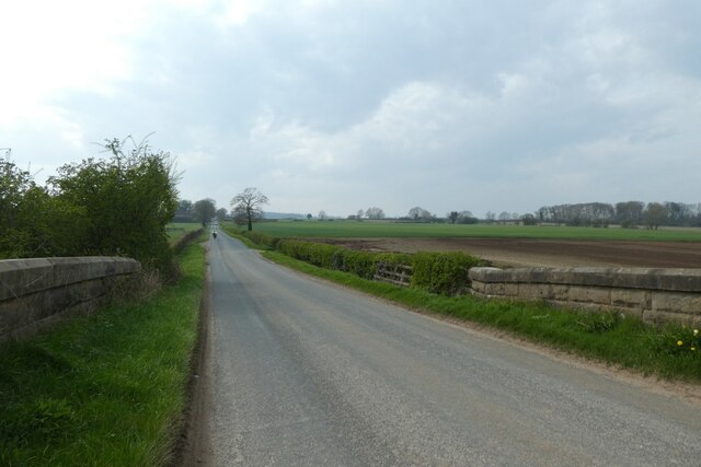
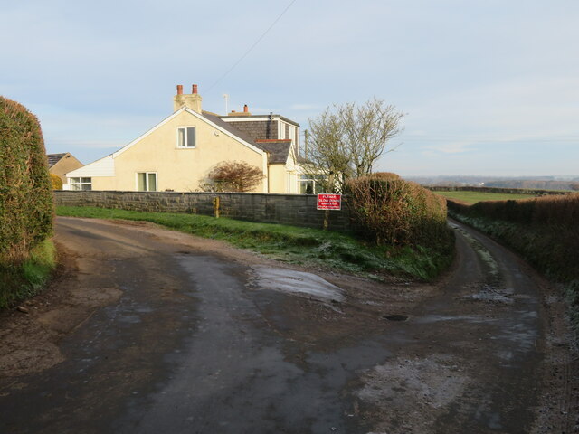
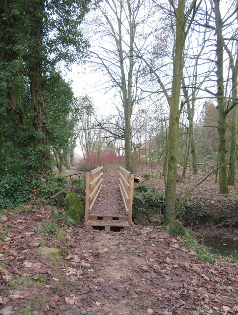
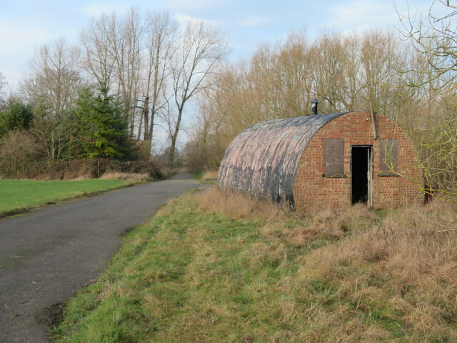
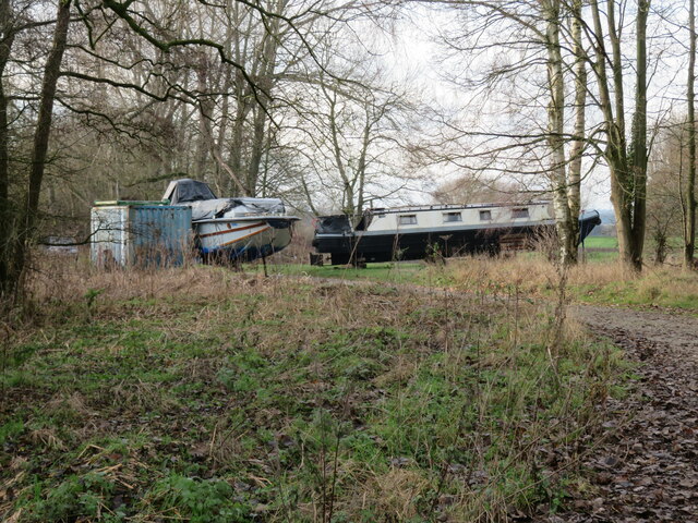
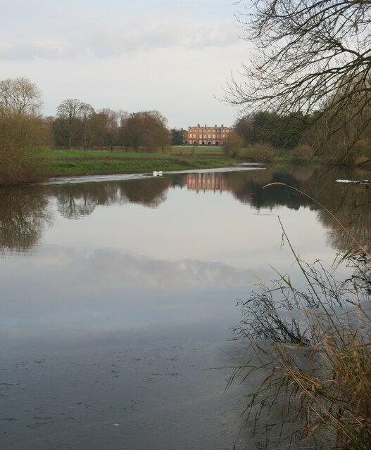
Nantodd Hill Images

Images are sourced within 2km of 54.089894/-1.4934818 or Grid Reference SE3366. Thanks to Geograph Open Source API. All images are credited.

Bishop Monkton, Ivy House Farm The benchmark is cut into the right hand gatepost at the entrance to the farm.
Bishop Monkton, Ivy House Farm
The benchmark is cut into the right hand gatepost at the entrance to the farm.
Bishop Monkton, Ivy House Farm There is a benchmark cut into the right hand gatepost at the entrance to the farm.
Bishop Monkton, Ivy House Farm
There is a benchmark cut into the right hand gatepost at the entrance to the farm.
Corner on Pottery Lane Looking along Pottery Lane towards Littlethorpe and Ripon.
Corner on Pottery Lane
Looking along Pottery Lane towards Littlethorpe and Ripon.
Along Pottery Lane The road heads to meet Knaresborough Road.
Along Pottery Lane
The road heads to meet Knaresborough Road.
Pottery Lane towards the old railway Looking along Pottery Lane with the former Harrogate - Ripon - Northallerton railway embankment ahead.
Pottery Lane towards the old railway
Looking along Pottery Lane with the former Harrogate - Ripon - Northallerton railway embankment ahead.
Pottery Lane Leading to Littlethorpe and Ripon.
Pottery Lane
Leading to Littlethorpe and Ripon.
Former railway bridge Looking along Pottery Lane with the former Harrogate - Ripon - Northallerton railway embankment ahead.
Former railway bridge
Looking along Pottery Lane with the former Harrogate - Ripon - Northallerton railway embankment ahead.
Moor Road crossing the former railway Looking along Moor Road as it crosses the former Harrogate - Ripon - Northallerton railway.
Moor Road crossing the former railway
Looking along Moor Road as it crosses the former Harrogate - Ripon - Northallerton railway.
Moor Road towards Bishop Monkton Looking along Moor Road as it crosses the former Harrogate - Ripon - Northallerton railway.
Moor Road towards Bishop Monkton
Looking along Moor Road as it crosses the former Harrogate - Ripon - Northallerton railway.
Frosty morning, Bishop Monkton Footpath towards the caravan site at Bishop Monkton on a very cold and frosty December day.
Frosty morning, Bishop Monkton
Footpath towards the caravan site at Bishop Monkton on a very cold and frosty December day.
Junction of lanes at Burton Leonard The wider lane to the left is Common Balk Lane and is a dead end for vehicles, whilst to the right is the rather curved Straight Lane which links into the road from Knaresborough to Bishop Monkton.
Junction of lanes at Burton Leonard
The wider lane to the left is Common Balk Lane and is a dead end for vehicles, whilst to the right is the rather curved Straight Lane which links into the road from Knaresborough to Bishop Monkton.
Footbridge over a small beck The riverside path on the right bank of the Ure in Holbeck Wood at the point where it crosses the Holbeck.
Footbridge over a small beck
The riverside path on the right bank of the Ure in Holbeck Wood at the point where it crosses the Holbeck.
Old Nissen hut close to the river One of several huts and other brick buildings on what was once a military site close to the river. During WW2 this was a site where bridges were constructed along with training for various types of amphibious warfare. The site wasn't abandoned until much later - possibly the 1980's as it was still used by the Royal Engineers, based at Clotherholme barracks.
Old Nissen hut close to the river
One of several huts and other brick buildings on what was once a military site close to the river. During WW2 this was a site where bridges were constructed along with training for various types of amphibious warfare. The site wasn't abandoned until much later - possibly the 1980's as it was still used by the Royal Engineers, based at Clotherholme barracks.
River craft high and dry Motor cruiser and canal barge high and dry above the River Ure.
River craft high and dry
Motor cruiser and canal barge high and dry above the River Ure.
Downstream along the Ure A view along the River Ure towards Newby Hall.
Downstream along the Ure
A view along the River Ure towards Newby Hall.
View towards Newby Hall A zoomed shot of Newby Hall's west front from some 600m further up river. The two mute swans appear to have avoided the bird flu that is currently sweeping the area. The hall is a Grade I listed building dating from the end of the 17th century.
View towards Newby Hall
A zoomed shot of Newby Hall's west front from some 600m further up river. The two mute swans appear to have avoided the bird flu that is currently sweeping the area. The hall is a Grade I listed building dating from the end of the 17th century.
Reed beds on the site of an old canal The footpath from the banks of the Ure towards the lower end of Bishop Monkton follows the side of an old waterway, now well choked with reeds and other vegetation. The first edition OS map of 1852 shows this as 'Bishop Monkton Canal', only about 1/2ml long and ending at The Anchor Inn, now a private house. With two mills at the eastern end of the village, this would have been a useful method of transporting material. Probably killed off by the arrival of the railway to the west of the village.
Reed beds on the site of an old canal
The footpath from the banks of the Ure towards the lower end of Bishop Monkton follows the side of an old waterway, now well choked with reeds and other vegetation. The first edition OS map of 1852 shows this as 'Bishop Monkton Canal', only about 1/2ml long and ending at The Anchor Inn, now a private house. With two mills at the eastern end of the village, this would have been a useful method of transporting material. Probably killed off by the arrival of the railway to the west of the village.
Approaching the final lock on the Ripon Canal Depending on which way you are going, this is either the last or first lock on the Ripon Canal, beyond which is the navigable section of the River Ure.
Approaching the final lock on the Ripon Canal
Depending on which way you are going, this is either the last or first lock on the Ripon Canal, beyond which is the navigable section of the River Ure.
Show me another place!

Nantodd Hill is located at Grid Ref: SE3366 (Lat: 54.089894, Lng: -1.4934818)

Division: West Riding

Administrative County: North Yorkshire

District: Harrogate

Police Authority: North Yorkshire

What 3 Words

///cushy.mammal.ripples. Near Ripon, North Yorkshire

Nearby Locations

Ryle Hill Nantodd Hill

Related Wikis

Bishop Monkton

Bishop Monkton is a village and civil parish in the Harrogate district of North Yorkshire, England, about five miles south of Ripon. According to the...
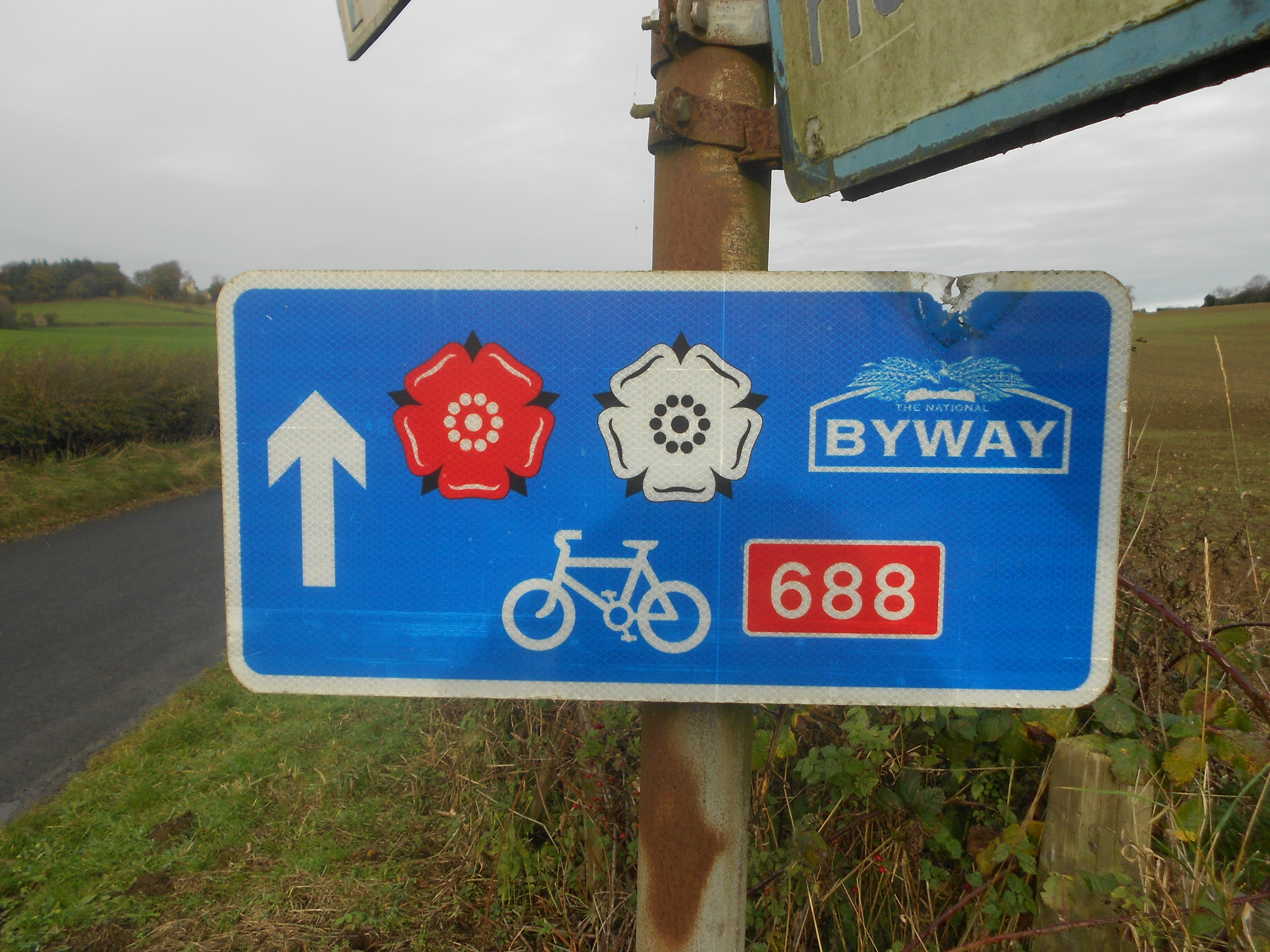
Way of the Roses

The Way of the Roses is the newest of Great Britain's coast-to-coast long-distance cycle routes and is based on minor roads, disused railway lines and...

Bishop Monkton Ings

Bishop Monkton Ings is a Site of Special Scientific Interest, or SSSI, situated east of Bishop Monkton village in North Yorkshire, England. It consists...

Westwick, North Yorkshire

Westwick is a civil parish in Harrogate district in North Yorkshire, England. It lies 3 miles (5 km) west of Boroughbridge, on the south bank of the River...
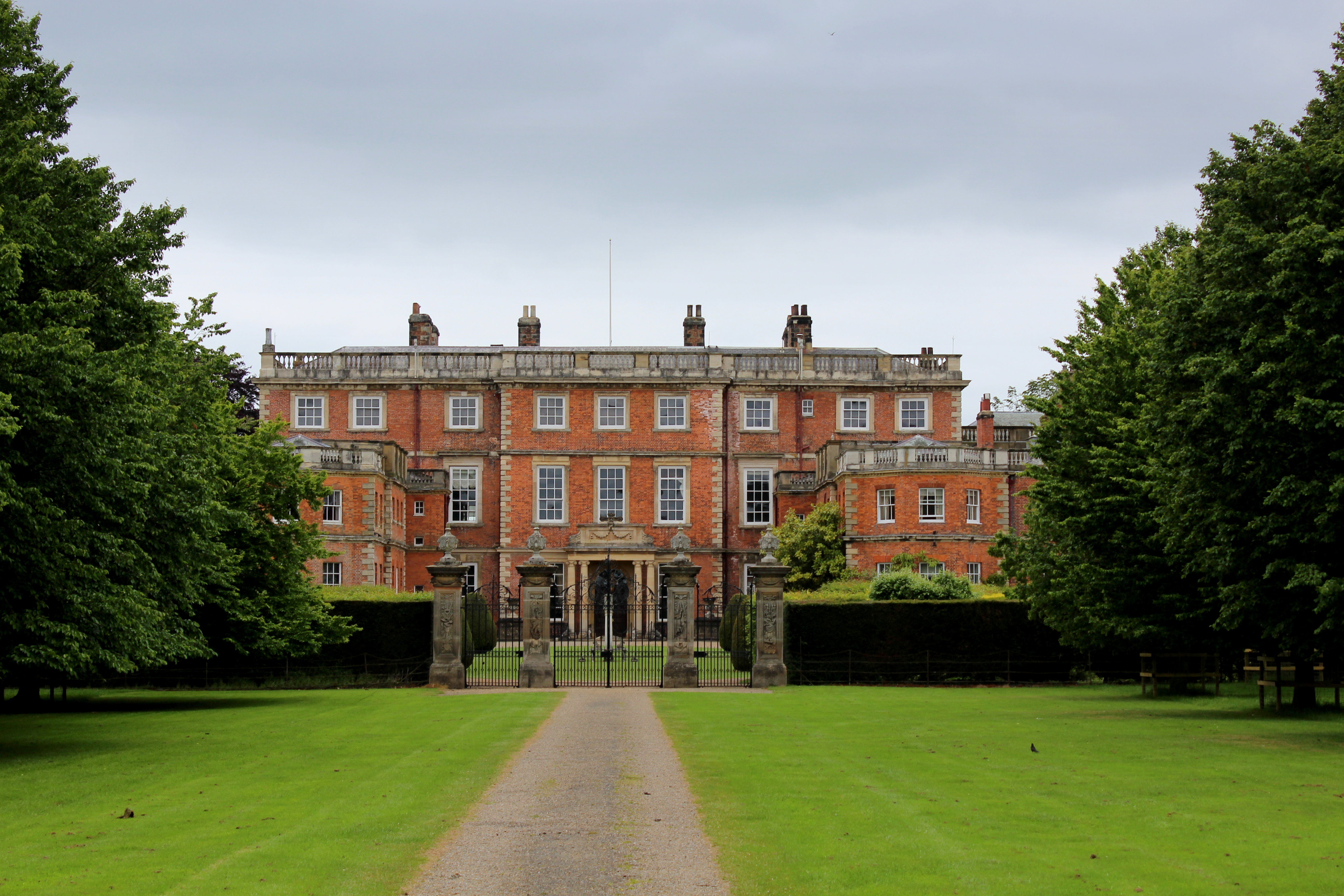
Newby Hall

Newby Hall is a country house beside the River Ure in the parish of Skelton-on-Ure in North Yorkshire, England. It is 3 miles (4.8 km) south-east of Ripon...

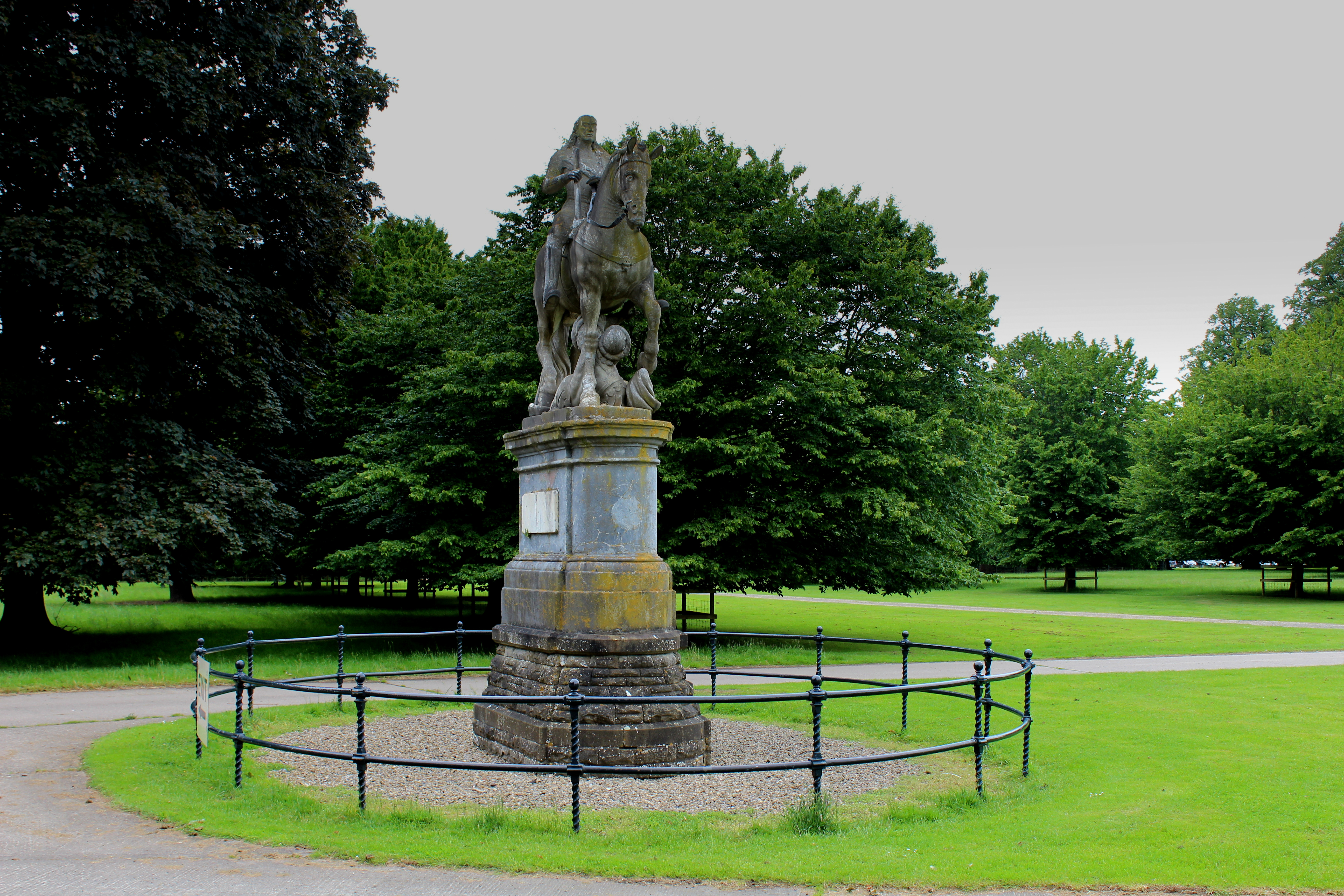
Equestrian statue of Charles II trampling Cromwell

An equestrian statue of Charles II trampling Cromwell stands near Newby Hall in North Yorkshire, England. It was previously sited at Gautby Hall in Lincolnshire...

Burton Leonard

Burton Leonard is a village and civil parish in the Harrogate district of North Yorkshire, England, and approximately 7 miles (11 km) south from Ripon...

Wormald Green

Wormald Green is a village in the civil parish of Markington with Wallerthwaite in the district of Harrogate, North Yorkshire, England. In 2016, Harrogate...

Nearby Amenities

Located within 500m of 54.089894,-1.4934818
Telephone
Booth: KX100
Covered: booth
Source: survey
Lat/Long: 54.0930029/-1.4960297
Post Box
Collection Times: Mo-Fr 09:00; Sa 07:00
Operator: Royal Mail
Post Box Type: lamp
Ref: HG3 223D
Royal Cypher: EIIR
Royal Cypher Wikidata: Q33102113
Source: survey
Lat/Long: 54.0888555/-1.4995904
Post Box
Collection Times: Mo-Fr 17:15; Sa 11:15
Operator: Royal Mail
Post Box Type: pillar
Ref: HG3 185
Royal Cypher: EIIR
Royal Cypher Wikidata: Q33102113
Lat/Long: 54.0914262/-1.4976557
Ford: yes
Lat/Long: 54.0926619/-1.4964034
Crossing
Lat/Long: 54.0921398/-1.500094
The data included in this document is from www.openstreetmap.org. The data is made available under ODbL.

Have you been to Nantodd Hill?

Leave your review of Nantodd Hill below (or comments, questions and feedback).