Orange Hill
Hill, Mountain in Derbyshire South Derbyshire
England
Orange Hill

Orange Hill is a prominent hill located in the county of Derbyshire, England. Standing at an elevation of approximately 1,312 feet (400 meters) above sea level, it is considered a notable landmark in the region. Situated near the village of Taddington, Orange Hill offers breathtaking panoramic views of the surrounding countryside.
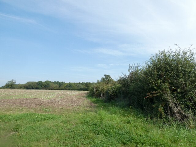
The hill is characterized by its distinctive orange-colored soil, which gives it its name. This unique feature is a result of the iron oxide content in the soil, which imparts an orange hue to the landscape. The hill is predominantly covered in grass, with scattered trees and shrubs dotting its slopes.
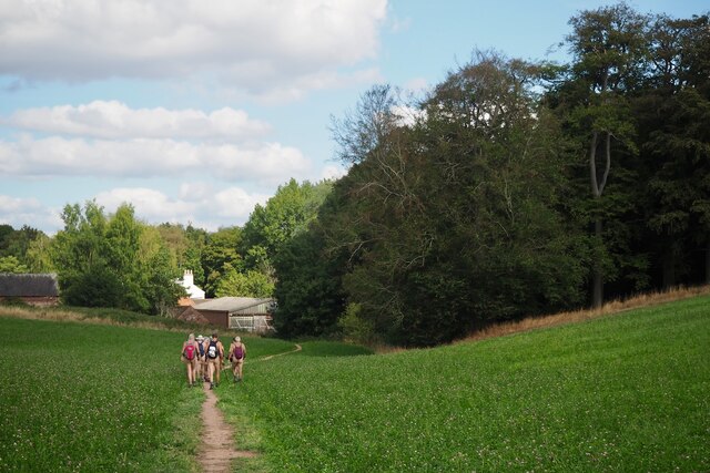
Orange Hill is a popular destination for hikers and nature enthusiasts. Several well-maintained footpaths and trails lead to the summit, offering visitors the chance to explore the area's natural beauty. The hill provides an excellent vantage point to admire the picturesque Derbyshire Dales and neighboring peaks, such as Kinder Scout and Mam Tor.
Aside from its natural appeal, Orange Hill also possesses historical significance. The hill is believed to have been an important landmark during the Bronze Age, with evidence of ancient settlements and burial mounds discovered in its vicinity. These archaeological remains contribute to the hill's cultural heritage and attract researchers and history enthusiasts.
In conclusion, Orange Hill in Derbyshire is a remarkable geographical feature known for its distinctive orange soil, stunning views, and historical significance. It continues to captivate visitors with its natural beauty and offers a glimpse into the region's rich past.
If you have any feedback on the listing, please let us know in the comments section below.
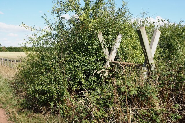
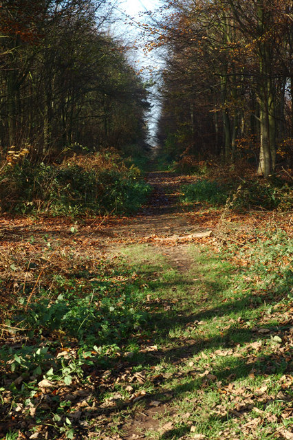
Orange Hill Images
Images are sourced within 2km of 52.819644/-1.5122107 or Grid Reference SK3224. Thanks to Geograph Open Source API. All images are credited.


Orange Hill is located at Grid Ref: SK3224 (Lat: 52.819644, Lng: -1.5122107)
Administrative County: Derbyshire
District: South Derbyshire
Police Authority: Derbyshire
What 3 Words
///highly.trim.elated. Near Repton, Derbyshire
Nearby Locations
Related Wikis

Foremark Reservoir
Foremark Reservoir (OS grid reference SK3324) is a reservoir in South Derbyshire owned by Severn Trent which is also a 230-acre (0.93 km2) nature reserve...

St Saviour's Church, Foremark
St Saviour's Church, Foremark, is a Grade I listed parish church in the Church of England in Foremark, Derbyshire. == History == The church dates from...
Heath Wood barrow cemetery
Heath Wood barrow cemetery is a Viking burial site near Ingleby, Derbyshire. == Description == Heath Wood contains a series of 59 barrows which is a Viking...

Repton Prep
Repton Prep (formally Repton Preparatory School) is a co-educational Private Preparatory School in Foremark, Derbyshire, England which caters for day and...

Foremarke Hall
Foremarke Hall is a Georgian-Palladian country house and manor house. Completed in 1762, the Hall is located at the manor (hamlet) of Foremark, near the...

Foremark
Foremark is a hamlet and civil parish in the South Derbyshire district of Derbyshire, England. It contains Foremarke Hall, a medieval manor house which...

Milton, Derbyshire
Milton is a hamlet 6 miles south-west of Derby and 1.5 miles east of Repton. Its population is around 200. It is thought to have been established by the...

St George's Church, Ticknall
St George's Church, Ticknall is a Grade II listed parish church in the Church of England in Ticknall, Derbyshire. == History == The church was built in...
Nearby Amenities
Located within 500m of 52.819644,-1.5122107Have you been to Orange Hill?
Leave your review of Orange Hill below (or comments, questions and feedback).