Birds Hill

Hill, Mountain in Leicestershire North West Leicestershire

England

Birds Hill

McDonald's, Appleby Magna
McDonald's, Appleby Magna Credit: David Howard

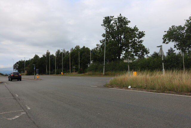
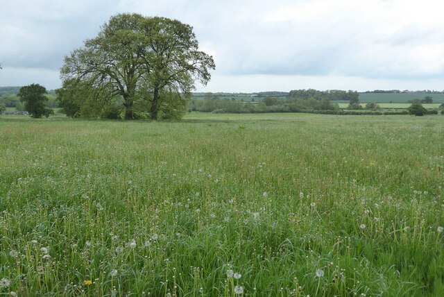
Birds Hill is a prominent hill located in the county of Leicestershire, England. With an elevation of approximately 210 meters (690 feet), it is considered one of the highest points in the region. Situated near the village of Newtown Linford, Birds Hill offers breathtaking panoramic views of the surrounding countryside.

Covered in lush greenery, the hill is known for its picturesque landscapes and diverse wildlife. The area is home to various bird species, including thrushes, woodpeckers, and owls, making it an ideal destination for birdwatching enthusiasts. Additionally, the hillside is adorned with vibrant wildflowers, creating a stunning display during the spring and summer months.

Birds Hill is a popular destination for outdoor activities and leisurely walks. The hill is crisscrossed with well-maintained footpaths and trails, offering visitors the opportunity to explore the surrounding countryside. The nearby Bradgate Park, a historic deer park, is within walking distance and provides visitors with the chance to spot deer and other wildlife.

With its rich history, Birds Hill also holds archaeological significance. The remnants of an Iron Age hillfort can be found on its summit, showcasing the area's ancient origins and adding an element of intrigue to the site.

Overall, Birds Hill offers a tranquil escape from the hustle and bustle of everyday life, with its natural beauty, wildlife, and historical features making it a popular attraction for nature lovers and history enthusiasts alike.

If you have any feedback on the listing, please let us know in the comments section below.
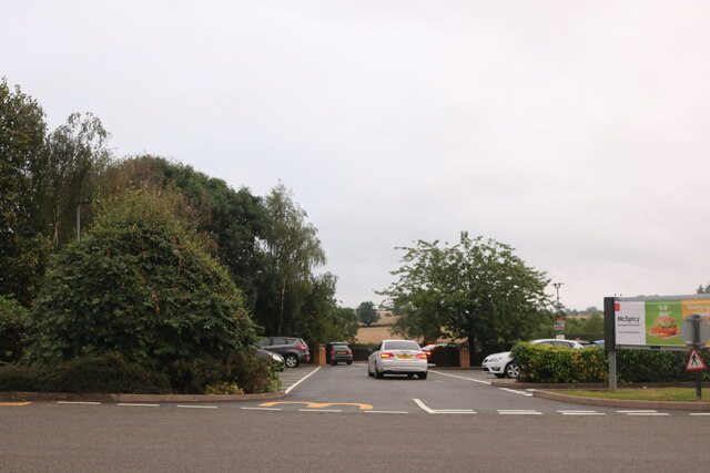
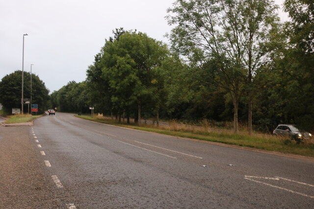
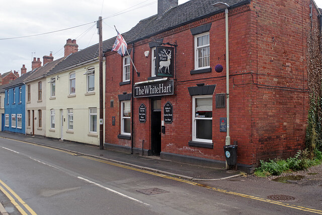
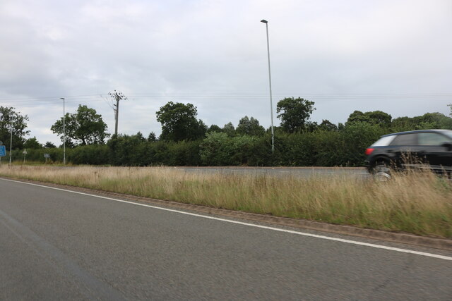
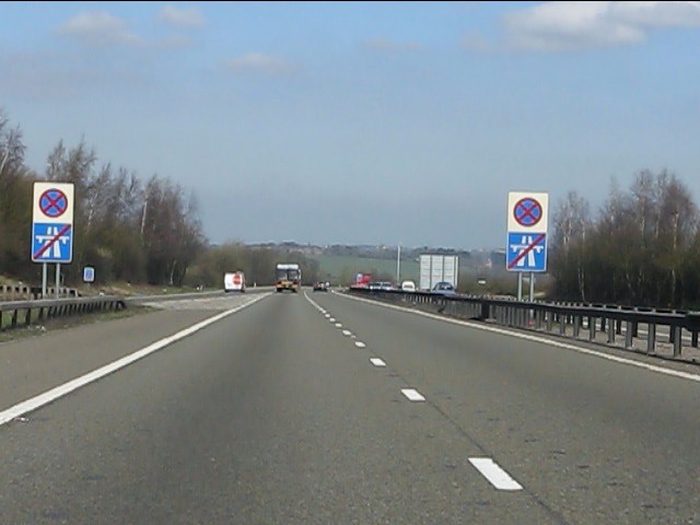
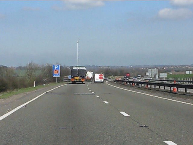
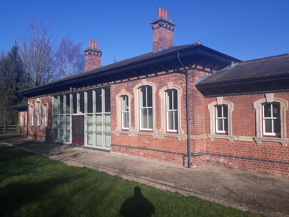
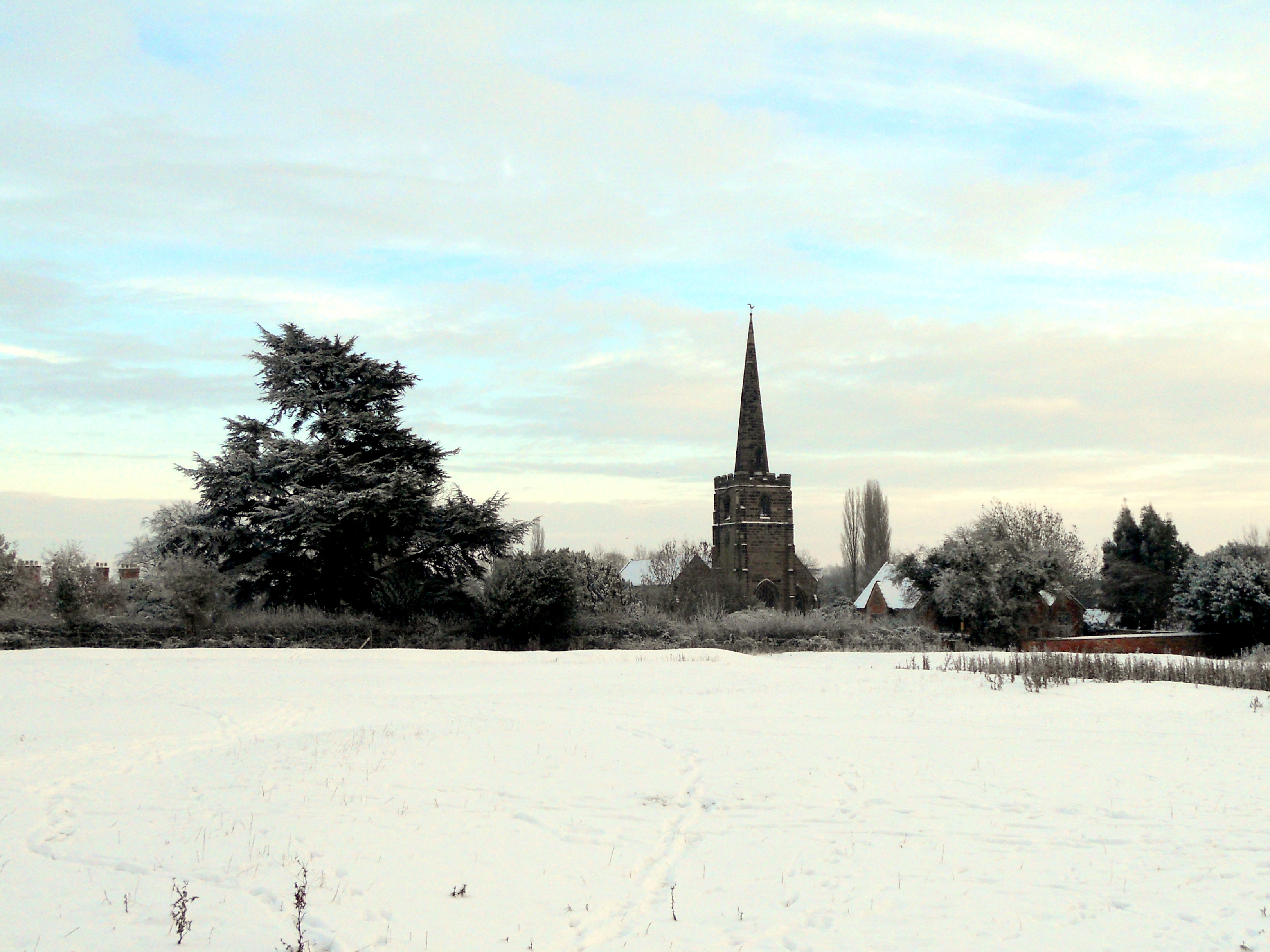
Birds Hill Images

Images are sourced within 2km of 52.699008/-1.5290048 or Grid Reference SK3111. Thanks to Geograph Open Source API. All images are credited.

McDonald's, Appleby Magna
McDonald's car park, Appleby Magna
Acresford Road, Appleby Magna
The White Hart, Measham Measham, with a population of just over 5,000, is a former mining village (Measham Colliery closed in 1986) in the Leicestershire coalfield. Especially on a dull day it is, in all fairness, a rather drab looking place with no real centre that straggles along the former A453 road. Here on Bosworth Road, the White Hart is a traditional friendly back street local.
The White Hart, Measham
Measham, with a population of just over 5,000, is a former mining village (Measham Colliery closed in 1986) in the Leicestershire coalfield. Especially on a dull day it is, in all fairness, a rather drab looking place with no real centre that straggles along the former A453 road. Here on Bosworth Road, the White Hart is a traditional friendly back street local.
Atherstone Road, Appleby Magna
Stretton en le Field church Stretton en le Field church is dedicated to St Michael and is Grade II* listed, see: <span class="nowrap"><a title="https://historicengland.org.uk/listing/the-list/list-entry/1074318?section=official-list-entry" rel="nofollow ugc noopener" href="https://historicengland.org.uk/listing/the-list/list-entry/1074318?section=official-list-entry">Link</a><img style="margin-left:2px;" alt="External link" title="External link - shift click to open in new window" src="https://s1.geograph.org.uk/img/external.png" width="10" height="10"/></span>  The church dates from the 14th and 15th centuries.
Stretton en le Field church
Stretton en le Field church is dedicated to St Michael and is Grade II* listed, see: LinkExternal link The church dates from the 14th and 15th centuries.
Interior of Stretton en le Field church Interior of Stretton en le Field St Michael's church.  The church is Grade II* listed, see: <span class="nowrap"><a title="https://historicengland.org.uk/listing/the-list/list-entry/1074318?section=official-list-entry" rel="nofollow ugc noopener" href="https://historicengland.org.uk/listing/the-list/list-entry/1074318?section=official-list-entry">Link</a><img style="margin-left:2px;" alt="External link" title="External link - shift click to open in new window" src="https://s1.geograph.org.uk/img/external.png" width="10" height="10"/></span>
Interior of Stretton en le Field church
Interior of Stretton en le Field St Michael's church. The church is Grade II* listed, see: LinkExternal link
Interior of Stretton en le Field church Interior of Stretton en le Field St Michael's church.  View from the chancel along the nave.  The church is Grade II* listed, see: <span class="nowrap"><a title="https://historicengland.org.uk/listing/the-list/list-entry/1074318?section=official-list-entry" rel="nofollow ugc noopener" href="https://historicengland.org.uk/listing/the-list/list-entry/1074318?section=official-list-entry">Link</a><img style="margin-left:2px;" alt="External link" title="External link - shift click to open in new window" src="https://s1.geograph.org.uk/img/external.png" width="10" height="10"/></span>
Interior of Stretton en le Field church
Interior of Stretton en le Field St Michael's church. View from the chancel along the nave. The church is Grade II* listed, see: LinkExternal link
Farmland at Stretton en le Field View over farmland to the north of Stretton en le Field church.
Farmland at Stretton en le Field
View over farmland to the north of Stretton en le Field church.
Footbridge over the A42 at Measham
M42 Motorway approaching junction 11
M42 Motorway - junction 11 bridges Another classic UK roundabout junction with two separate bridges.
M42 Motorway - junction 11 bridges
Another classic UK roundabout junction with two separate bridges.
End of Motorway The "crossed chopsticks" signs indicate that the M42 ends, to be instantly replaced by the "clearway" of the A42. The M42/A42 saga is a typical UK bodge roadbuilding tale, with an end result which probably pleases nobody. For more details, see: <span class="nowrap"><a title="http://www.cbrd.co.uk/motorway/m42" rel="nofollow ugc noopener" href="http://www.cbrd.co.uk/motorway/m42">Link</a><img style="margin-left:2px;" alt="External link" title="External link - shift click to open in new window" src="https://s1.geograph.org.uk/img/external.png" width="10" height="10"/></span>
End of Motorway
The "crossed chopsticks" signs indicate that the M42 ends, to be instantly replaced by the "clearway" of the A42. The M42/A42 saga is a typical UK bodge roadbuilding tale, with an end result which probably pleases nobody. For more details, see: LinkExternal link
A42 near Stretton en le Field
A42 north of the River Mease bridge
A42 cross the lane north from Measham Parapets reveal the bridge's position.
A42 cross the lane north from Measham
Parapets reveal the bridge's position.
Show me another place!

Birds Hill is located at Grid Ref: SK3111 (Lat: 52.699008, Lng: -1.5290048)

Administrative County: Leicestershire

District: North West Leicestershire

Police Authority: Leicestershire

What 3 Words

///laces.vows.capacity. Near Measham, Leicestershire

Nearby Locations

Birds Hill

Related Wikis

Measham railway station

Measham railway station is a disused railway station that formerly served the village of Measham, North West Leicestershire from 1873 to 1931. The station...

Stretton en le Field

Stretton en le Field is a small village and civil parish in the North West Leicestershire district of Leicestershire, England, about 7 miles/11 km south...

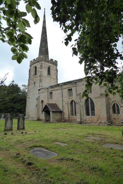
St Michael and All Angels' Church, Appleby Magna

St Michael and All Angels’ Church, Appleby Magna is a Grade II* listed parish church in the Church of England in Appleby Magna, Leicestershire == History... ==

Measham

Measham is a large village in the North West Leicestershire district in Leicestershire, England, near the Derbyshire, Staffordshire and Warwickshire boundaries...

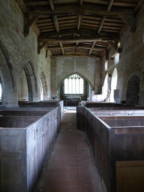
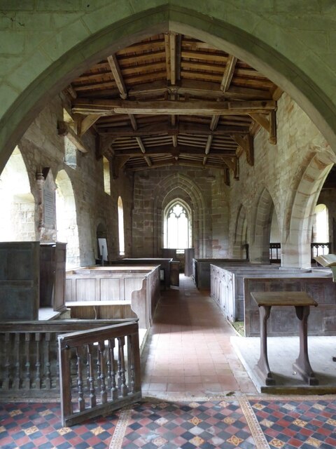
St Michael's Church, Stretton en le Field

St Michael's Church is a redundant Anglican church in the village of Stretton en le Field, Leicestershire, England (grid reference SK303119). It is recorded...

Oakthorpe

Oakthorpe is a village in north-west Leicestershire, England. In 1086, Oakthorpe was part of Derbyshire and was amongst several manors given to Nigel of...

Appleby Magna

Appleby Magna is a village and civil parish in the North West Leicestershire district, in the county of Leicestershire, England. It includes the small...

Oakthorpe and Donisthorpe

Oakthorpe and Donisthorpe or Oakthorpe, Donisthorpe and Acresford is a civil parish in the North West Leicestershire district of Leicestershire, England...

Nearby Amenities

Located within 500m of 52.699008,-1.5290048
Bus Stop
Birds Hill
Bus: yes
Naptan AtcoCode: 260013002
Naptan Bearing: NE
Naptan CommonName: Birds Hill
Naptan Indicator: before
Naptan Landmark: Birds Hill
Naptan NaptanCode: leijdmdj
Naptan Notes: Non-Hourly - County
Naptan Street: Tamworth Road
Naptan Verified: no
Public Transport: platform
Source: naptan_import
Lat/Long: 52.6961107/-1.5311666
Bus Stop
Birds Hill
Bus: yes
Naptan AtcoCode: 260013003
Naptan Bearing: SW
Naptan CommonName: Birds Hill
Naptan Indicator: beyond
Naptan Landmark: Birds Hill
Naptan NaptanCode: leijdmdm
Naptan Notes: Non-Hourly - County
Naptan Street: Tamworth Road
Naptan Verified: no
Public Transport: platform
Source: naptan_import
Lat/Long: 52.6963392/-1.5298472
Birds Hill
Man Made: survey_point
Ref: TP1382
Source: survey;aerial imagery;Website
Survey Point Purpose: both
Survey Point Structure: pillar
Website: https://trigpointing.uk/trig/1382
Lat/Long: 52.6990492/-1.5290723
The data included in this document is from www.openstreetmap.org. The data is made available under ODbL.

Have you been to Birds Hill?

Leave your review of Birds Hill below (or comments, questions and feedback).