Guinea Hill
Hill, Mountain in Yorkshire Harrogate
England
Guinea Hill

Guinea Hill is a prominent geological feature located in the county of Yorkshire in northern England. Situated in the beautiful region known as the Yorkshire Dales, Guinea Hill is a popular destination for nature enthusiasts and hikers alike.
Rising to an elevation of approximately 460 meters (1,509 feet), Guinea Hill offers visitors breathtaking panoramic views of the surrounding landscape. The hill is characterized by its gentle slopes and lush greenery, which make it an ideal location for outdoor activities such as walking, trekking, and birdwatching.
Geologically, Guinea Hill is primarily composed of sandstone and limestone, which gives it its distinctive appearance. The hill's formation can be traced back millions of years to the Carboniferous period when sedimentary rock layers were deposited in this area.
The hill is home to a diverse range of flora and fauna, including heather, bilberry, and various species of birds such as peregrine falcons and red grouse. Guinea Hill is also known for its archaeological significance, with several ancient burial mounds and prehistoric settlements discovered in the vicinity.
Access to Guinea Hill is relatively easy, with well-maintained footpaths and trails leading to the summit. The hill attracts visitors throughout the year, with each season offering a unique experience. In the spring, the hillside is adorned with colorful wildflowers, while autumn brings a stunning display of golden foliage.
Overall, Guinea Hill in Yorkshire is a captivating natural landmark that showcases the beauty and diversity of the region. Whether it's for a leisurely hike or to admire the picturesque scenery, Guinea Hill offers an unforgettable experience for all who visit.
If you have any feedback on the listing, please let us know in the comments section below.
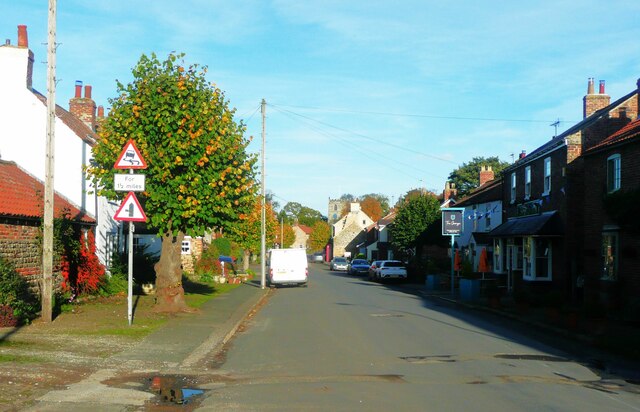
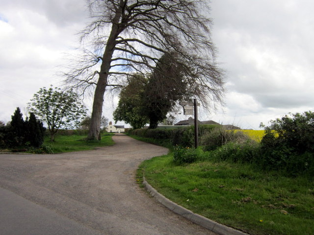
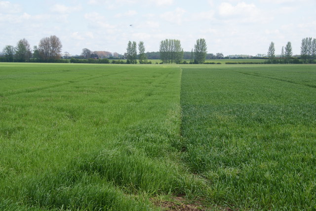
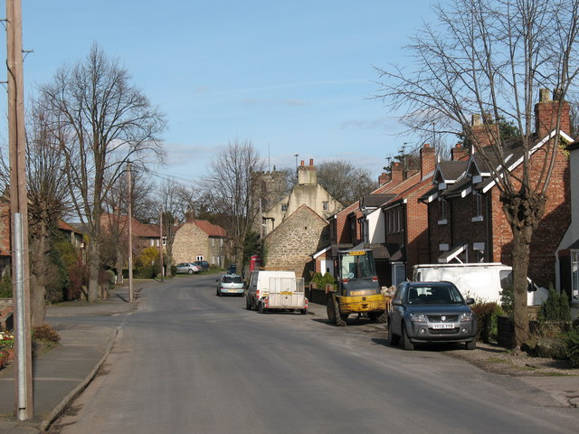
Guinea Hill Images
Images are sourced within 2km of 54.187181/-1.523494 or Grid Reference SE3176. Thanks to Geograph Open Source API. All images are credited.


Guinea Hill is located at Grid Ref: SE3176 (Lat: 54.187181, Lng: -1.523494)
Division: North Riding
Administrative County: North Yorkshire
District: Harrogate
Police Authority: North Yorkshire
What 3 Words
///wooden.diverting.pounces. Near Ripon, North Yorkshire
Nearby Locations
Related Wikis

Norton Conyers
Norton Conyers is a civil parish in North Yorkshire, England, 3 miles (5 km) north of Ripon. There is no modern village in the parish. Most of the parish...

Norton Conyers House
Norton Conyers House is a grade II* listed late medieval manor house with Stuart and Georgian additions sited in North Yorkshire, England, some 4 miles...
Wath Rural District
Wath Rural District was a rural district in the North Riding of Yorkshire from 1894 to 1974. It was created in 1894 from that part of the Ripon rural...
Wath (near Ripon)
Wath (alias Wath-by-Ripon) is a village and civil parish 3.7 miles (6 km) north of Ripon in North Yorkshire, England. The population of the parish was...
Nearby Amenities
Located within 500m of 54.187181,-1.523494Have you been to Guinea Hill?
Leave your review of Guinea Hill below (or comments, questions and feedback).