Bilberry Knoll
Hill, Mountain in Derbyshire Derbyshire Dales
England
Bilberry Knoll
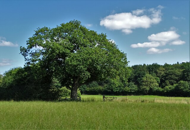
Bilberry Knoll is a prominent hill located in Derbyshire, England. Situated within the Peak District National Park, it forms part of the scenic landscape that attracts tourists and nature enthusiasts from far and wide. Standing at an elevation of approximately 400 meters (1,312 feet), it offers breathtaking panoramic views of the surrounding countryside.
The hill gets its name from the abundance of bilberry plants that cover its slopes during the summer months, providing a burst of vibrant purple hues. These small, edible berries are a popular attraction for visitors who enjoy foraging or simply appreciating the natural beauty of the area.
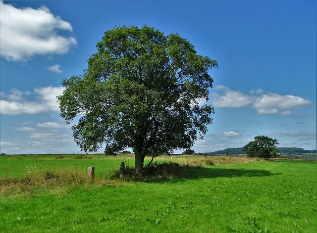
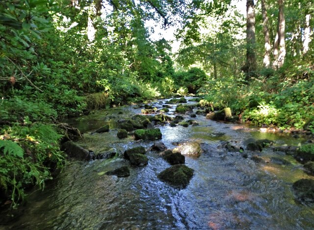
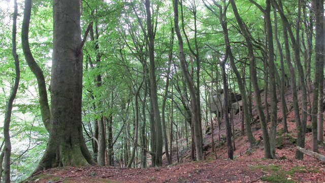
Bilberry Knoll is known for its diverse ecosystem, which supports a variety of wildlife. The hill is home to a range of bird species, including peregrine falcons, red grouse, and skylarks, making it a popular destination for birdwatchers. The surrounding woodlands offer refuge to numerous mammals, such as deer, foxes, and badgers, adding to the area's natural charm.
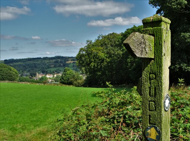
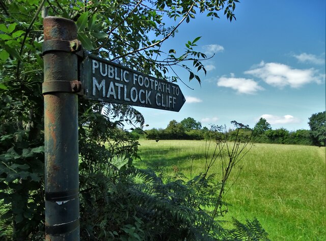
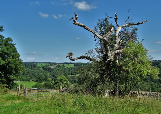
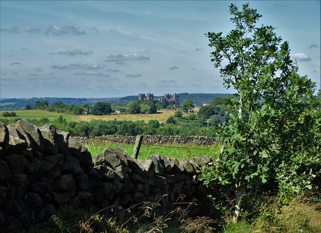
Hikers and walkers are drawn to Bilberry Knoll due to its well-marked trails and accessible routes. The hill provides an excellent opportunity for outdoor activities, including hillwalking, orienteering, and picnicking. The more adventurous can take on the challenge of climbing to the summit, rewarded with stunning views of the surrounding valleys and villages.
Overall, Bilberry Knoll in Derbyshire is a picturesque and diverse destination, offering a blend of natural beauty, wildlife, and recreational opportunities.
If you have any feedback on the listing, please let us know in the comments section below.
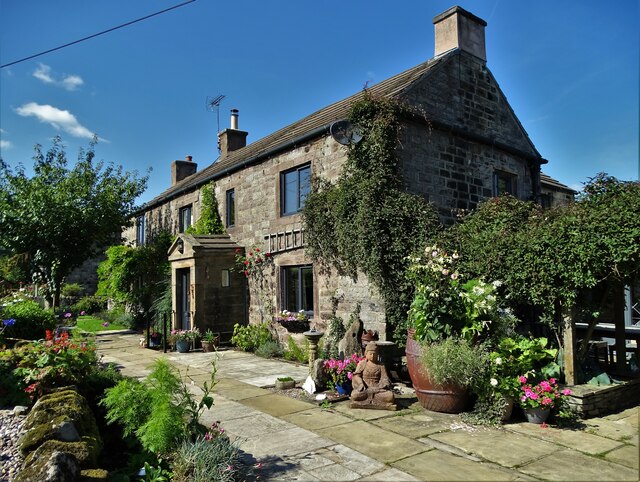
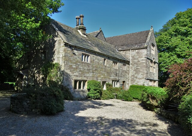
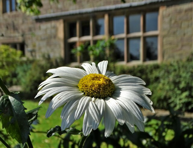
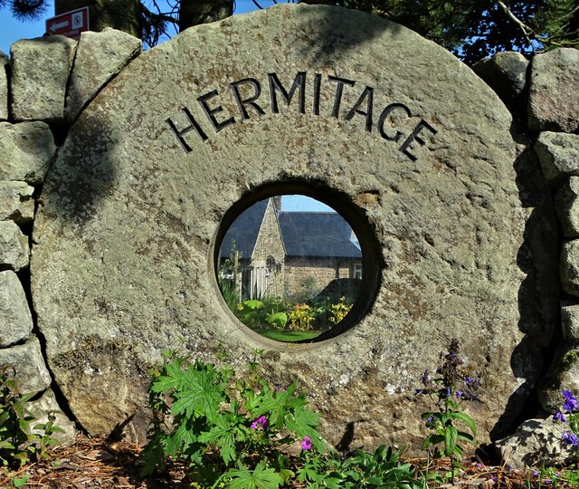
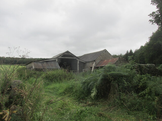
Bilberry Knoll Images
Images are sourced within 2km of 53.117403/-1.538746 or Grid Reference SK3057. Thanks to Geograph Open Source API. All images are credited.

Bilberry Knoll is located at Grid Ref: SK3057 (Lat: 53.117403, Lng: -1.538746)
Administrative County: Derbyshire
District: Derbyshire Dales
Police Authority: Derbyshire
What 3 Words
///clocks.collapsed.newspaper. Near Cromford, Derbyshire
Nearby Locations
Related Wikis
Riber
Riber is a hamlet in the civil parish of Matlock Town, in the Derbyshire Dales district, in the county of Derbyshire, England. It is situated high on a...

Cromford railway station
Cromford railway station is a Grade II listed railway station owned by Network Rail and managed by East Midlands Railway. It is located in the village...

Derwent Valley Heritage Way
The Derwent Valley Heritage Way (DVHW) is a 55 miles (89 km) waymarked footpath along the Derwent Valley through the Peak District (as far as Rowsley)...

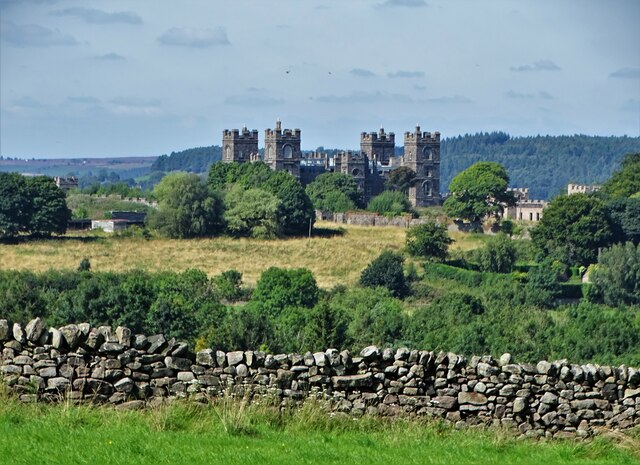
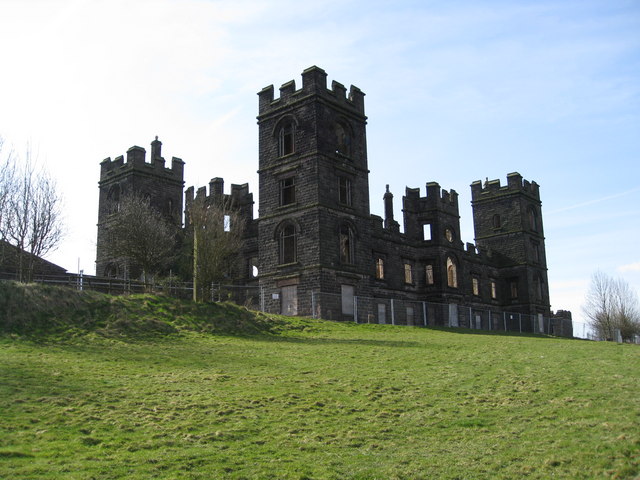
Riber Castle
Riber Castle is a 19th-century Grade II listed country house in the hamlet of Riber on a hill overlooking Matlock, Derbyshire. It is built of gritstone...

Matlock Bath railway station
Matlock Bath railway station is a Grade II listed railway station owned by Network Rail and managed by East Midlands Railway. It is located in the village...

Matlock Bath War Memorial
Matlock Bath War Memorial is a 20th-century grade II* listed war memorial in Matlock Bath, Derbyshire. == History == The war memorial in Memorial Park...
Cromford Wharf
Cromford Wharf is at Cromford in Derbyshire, England. It is located at the northern terminus of the Cromford Canal, which opened in 1794 and ran 14.5 miles...
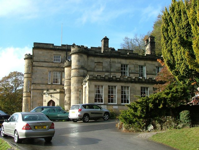
Willersley Castle
Willersley Castle is a late 18th-century country mansion above the River Derwent at Cromford, Derbyshire, outside Peak District National Park. The castle...
Nearby Amenities
Located within 500m of 53.117403,-1.538746Have you been to Bilberry Knoll?
Leave your review of Bilberry Knoll below (or comments, questions and feedback).