Ashorne Hill

Hill, Mountain in Warwickshire Stratford-on-Avon

England

Ashorne Hill

Morrell Farm
Morrell Farm Credit: P Gaskell

Ashorne Hill is a small hill located in the county of Warwickshire, England. Situated in the heart of the Midlands, it is part of the wider Cotswolds range of hills. Despite its modest elevation, Ashorne Hill offers panoramic views of the surrounding countryside, making it a popular destination for nature enthusiasts and hikers alike.

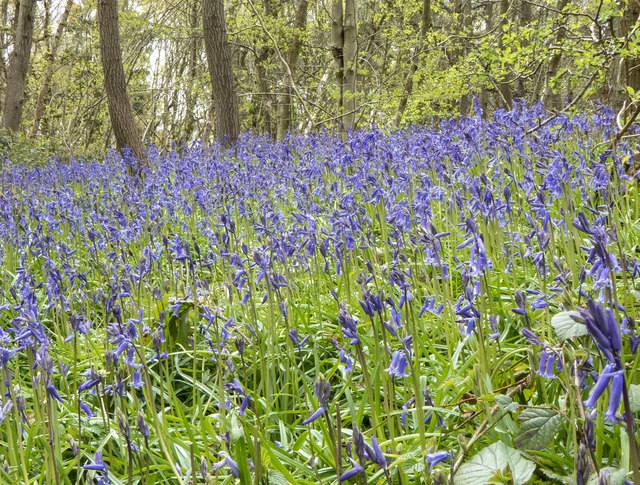
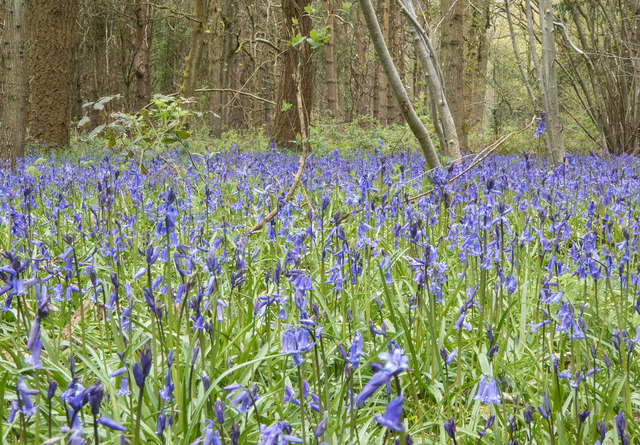
Standing at approximately 200 meters above sea level, Ashorne Hill is covered in lush greenery, with a diverse array of flora and fauna. The hill is home to a variety of wildlife, including deer, rabbits, and a multitude of bird species. It is also known for its wildflowers, which carpet the hillside during the summer months.

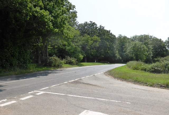
The hill itself is easily accessible, with well-maintained footpaths leading to the summit. Along the trails, visitors can discover ancient woodlands, meandering streams, and tranquil picnic spots. The hill is also home to an abundance of archaeological sites, including ancient burial mounds and Iron Age encampments, adding to its historical significance.

Ashorne Hill is a popular spot for outdoor activities, such as hiking, mountain biking, and orienteering. Its gentle slopes and well-marked paths make it suitable for individuals of all fitness levels. Additionally, the hill's proximity to nearby towns and villages, such as Leamington Spa and Warwick, makes it a convenient destination for day trips.

Overall, Ashorne Hill offers a peaceful and picturesque escape from the hustle and bustle of everyday life. Its natural beauty, combined with its rich history, makes it a hidden gem within Warwickshire's countryside.

If you have any feedback on the listing, please let us know in the comments section below.
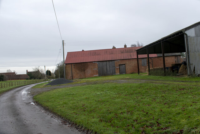
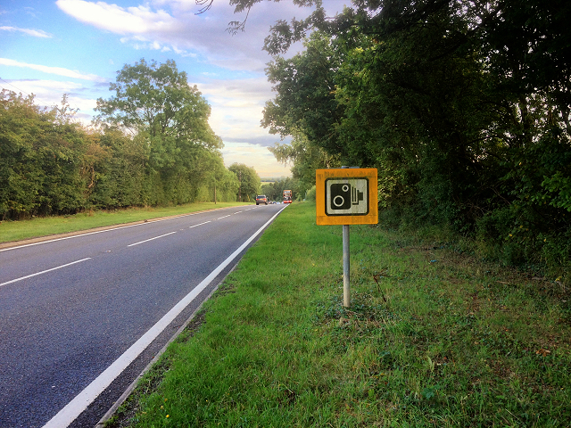
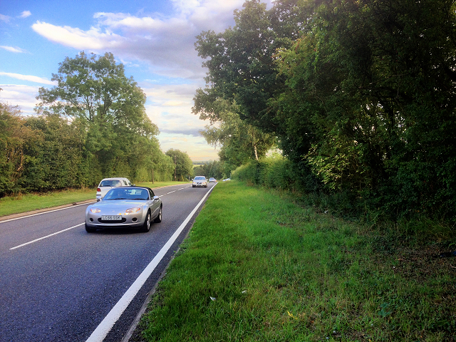
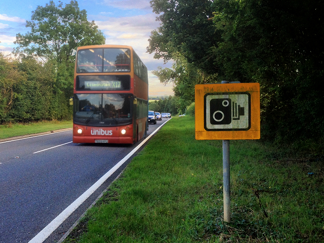
Ashorne Hill Images

Images are sourced within 2km of 52.220593/-1.5498304 or Grid Reference SP3058. Thanks to Geograph Open Source API. All images are credited.

Morrell Farm
Morrell Farm
Byway beside Blackmeadow Spinney
Banbury Road, B4100
Banbury Road, B4100
B4100, Banbury Road near to Ashorne
Unibus on Banbury Road Stagecoach in Warwickshire Dennis Trident 2/Alexander ALX400 number 17059 (T659 KPU), painted in the Unibus livery is pictured here on Banbury Road,  working the X17 service to Leamington.
Unibus on Banbury Road
Stagecoach in Warwickshire Dennis Trident 2/Alexander ALX400 number 17059 (T659 KPU), painted in the Unibus livery is pictured here on Banbury Road, working the X17 service to Leamington.
Bluebells in Oakley Wood Bang on time, 1st May, the bluebells are in flower.
Bluebells in Oakley Wood
Bang on time, 1st May, the bluebells are in flower.
Bluebells in Oakley Wood Bang on time, 1st May, the bluebells are in flower.
Bluebells in Oakley Wood
Bang on time, 1st May, the bluebells are in flower.
The B4087 at Oakley Wood
Oakley Wood Old workings in a field on the road to Bishop's Tachbrook.
Oakley Wood
Old workings in a field on the road to Bishop's Tachbrook.
Lane to Newbold Pacey from Moreton Morrell Looking West along the lane towards Newbold Pacey.
Compare with a photo taken in January 2010, some six and a half years earlier. <a href="https://www.geograph.org.uk/photo/1656997">SP3056 : Lane to Newbold Pacey from Moreton Morrell</a>
Lane to Newbold Pacey from Moreton Morrell
Looking West along the lane towards Newbold Pacey. Compare with a photo taken in January 2010, some six and a half years earlier. SP3056 : Lane to Newbold Pacey from Moreton Morrell
Maize field A field of maize south of the lane from Moreton Morrell to Newbold Pacey.
Maize field
A field of maize south of the lane from Moreton Morrell to Newbold Pacey.
Maize field A field of maize south of the lane from Moreton Morrell to Newbold Pacey.
Maize field
A field of maize south of the lane from Moreton Morrell to Newbold Pacey.
Bridleway to nowhere This is the start of bridleway SD311 where it leaves the lane from Moreton Morrell to Newbold Pacey.
This bridleway, which heads towards Wellesbourne, stops short, and is the subject of an application for a Definitive Map Modification Order MSD119 19/06/2005, which I believe is still pending. <span class="nowrap"><a title="https://apps.warwickshire.gov.uk/api/documents/WCCC-914-187" rel="nofollow ugc noopener" href="https://apps.warwickshire.gov.uk/api/documents/WCCC-914-187">Link</a><img style="margin-left:2px;" alt="External link" title="External link - shift click to open in new window" src="https://s1.geograph.org.uk/img/external.png" width="10" height="10"/></span>
Bridleway to nowhere
This is the start of bridleway SD311 where it leaves the lane from Moreton Morrell to Newbold Pacey. This bridleway, which heads towards Wellesbourne, stops short, and is the subject of an application for a Definitive Map Modification Order MSD119 19/06/2005, which I believe is still pending. LinkExternal link
Farmland north of the lane to Newbold Pacey View north across farmland north of the lane from Moreton Morrell to Newbold Pacey.
Farmland north of the lane to Newbold Pacey
View north across farmland north of the lane from Moreton Morrell to Newbold Pacey.
Country lane Lane from Moreton Morrell to Newbold Pacey.
Country lane
Lane from Moreton Morrell to Newbold Pacey.
Lane to Moreton Morrell View east along the lane from Newbold Pacey towards Moreton Morrell.
Lane to Moreton Morrell
View east along the lane from Newbold Pacey towards Moreton Morrell.
Footpath to Ashorne This farm track north of the lane from Newbold Pacey towards Moreton Morrell, is also a footpath.
Footpath to Ashorne
This farm track north of the lane from Newbold Pacey towards Moreton Morrell, is also a footpath.
Maize field A field of maize north of the lane from Newbold Pacey towards Moreton Morrell.
Maize field
A field of maize north of the lane from Newbold Pacey towards Moreton Morrell.
Show me another place!

Ashorne Hill is located at Grid Ref: SP3058 (Lat: 52.220593, Lng: -1.5498304)

Administrative County: Warwickshire

District: Stratford-on-Avon

Police Authority: Warwickshire

What 3 Words

///incoming.communal.depending. Near Wellesbourne, Warwickshire

Nearby Locations

Ashorne Hill Newbold Pacey

Related Wikis

Ashorne Hill House

Ashorne Hill House, Ashorne, Warwickshire, England is a late Victorian country house built for Arthur and Ethel Tree by the architect Edward Goldie between...

Ashorne Hall Railway

The Ashorne Hall Railway was a ridable miniature railway in Warwickshire, England. It was conceived as an added attraction to the collection of mechanical...

Ashorne

Ashorne is a village in Warwickshire, West Midlands, England and part of the parish of Newbold Pacey. Ashorne is 7 miles (11 km) from Stratford-upon-Avon...

Newbold Pacey

Newbold Pacey is a village and civil parish 5 miles (8 km) south of Warwick, in the Stratford-on-Avon district of Warwickshire, England. The parish includes...

Moreton Morrell

Moreton Morrell is a village and civil parish in the county of Warwickshire, England. It is part of the historic hundred of Kington and is located about...

Moreton Hall, Warwickshire

Moreton Hall is a Grade II listed, Georgian styled Edwardian house, built in the early 1900s and located in Moreton Morrell, Warwickshire, England. It...

Warwick services

Warwick Services is a motorway service station on the M40 motorway in Warwickshire, England. It is situated approximately 5 miles (8 km) south-east of...

Bishop's Tachbrook

Bishop's Tachbrook is a village and civil parish in the Warwick District of Warwickshire, England. The village is about 3 miles (5 km) south of Warwick...

Nearby Amenities

Located within 500m of 52.220593,-1.5498304
Barrier: stile
Lat/Long: 52.2214208/-1.5525977
Barrier: stile
Lat/Long: 52.2210923/-1.5537859
Barrier: kissing_gate
Lat/Long: 52.2231512/-1.5503559
Barrier: stile
Lat/Long: 52.2203973/-1.5562686
Frequency: 50
Material: wood
Operator: National Grid Electricity Distribution
Operator Wikidata: Q7988183
Power: pole
Ref: 932361
Source: wpd_opendata
Transformer: distribution
Voltage Primary: 11000
Voltage Secondary: 400
Lat/Long: 52.2180267/-1.5556065
Material: wood
Operator: National Grid Electricity Distribution
Operator Wikidata: Q7988183
Power: pole
Lat/Long: 52.2189136/-1.5555498
Material: wood
Operator: National Grid Electricity Distribution
Operator Wikidata: Q7988183
Power: pole
Lat/Long: 52.2207067/-1.5554527
Material: wood
Operator: National Grid Electricity Distribution
Operator Wikidata: Q7988183
Power: pole
Lat/Long: 52.2219371/-1.5553567
Material: wood
Operator: National Grid Electricity Distribution
Operator Wikidata: Q7988183
Power: pole
Lat/Long: 52.2237067/-1.5545734
Material: wood
Operator: National Grid Electricity Distribution
Operator Wikidata: Q7988183
Power: pole
Lat/Long: 52.2239347/-1.5530523
Location Transition: yes
Material: wood
Operator: National Grid Electricity Distribution
Operator Wikidata: Q7988183
Power: pole
Lat/Long: 52.2239405/-1.5519413
Material: wood
Operator: National Grid Electricity Distribution
Operator Wikidata: Q7988183
Power: pole
Lat/Long: 52.2226897/-1.5553218
Material: wood
Operator: National Grid Electricity Distribution
Operator Wikidata: Q7988183
Power: pole
Lat/Long: 52.2197256/-1.5555249
The data included in this document is from www.openstreetmap.org. The data is made available under ODbL.

Have you been to Ashorne Hill?

Leave your review of Ashorne Hill below (or comments, questions and feedback).