Clave Hill

Hill, Mountain in Shetland

Scotland

Clave Hill

Skjerda Water, Urafirth
Skjerda Water, Urafirth Credit: Mike Pennington

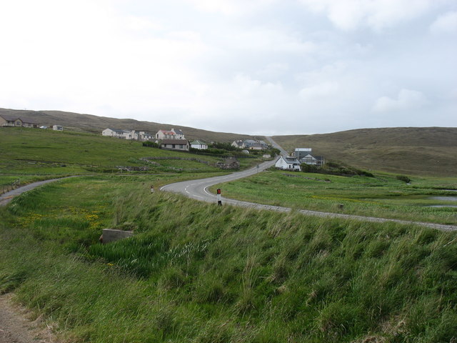
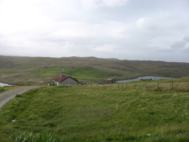
Clave Hill is a small hill located in the Shetland Islands, Scotland. Situated in the southern part of the islands, it is approximately 150 meters (492 feet) high and offers magnificent panoramic views of the surrounding landscape.

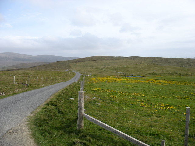
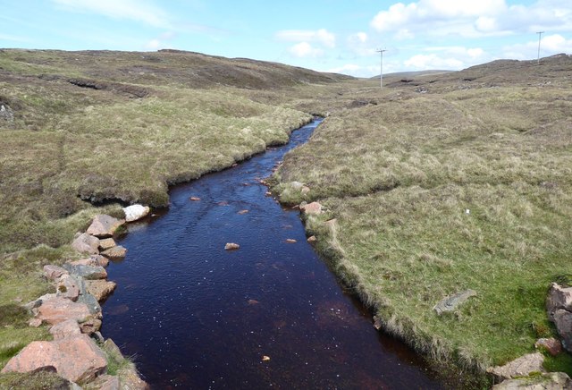
The hill is mostly composed of rocky terrain, covered in patches of grass, heather, and moss. It is a popular destination for outdoor enthusiasts, hikers, and nature lovers due to its relatively easy ascent and rewarding vistas from the summit.

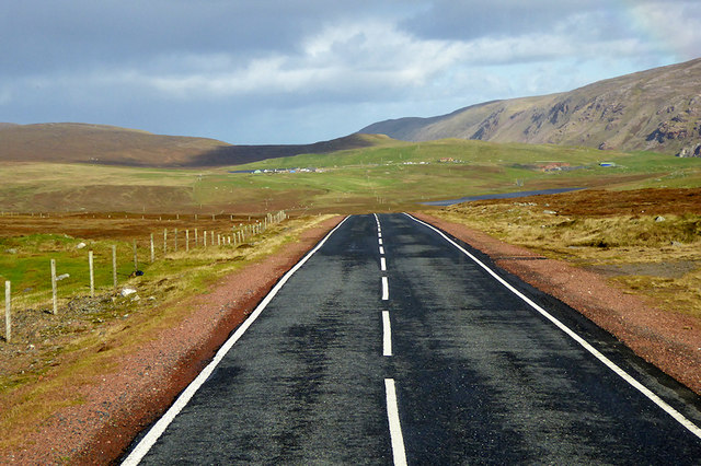
The ascent to Clave Hill starts from a designated car park nearby, and a well-defined path leads visitors to the top. Along the way, hikers can enjoy the diverse flora and fauna of the region, including wildflowers, birds, and occasional sightings of small mammals.

Once at the summit, visitors are treated to stunning views of the surrounding countryside, including rolling hills, picturesque valleys, and the shimmering waters of nearby lochs. On clear days, it is even possible to see other islands in the Shetland archipelago, adding to the allure of the experience.

Clave Hill is an ideal location for a peaceful and scenic hike, offering a chance to connect with nature and soak in the tranquility of the Shetland Islands. Its accessibility and breathtaking views make it a must-visit attraction for both locals and tourists seeking an outdoor adventure in this beautiful part of Scotland.

If you have any feedback on the listing, please let us know in the comments section below.
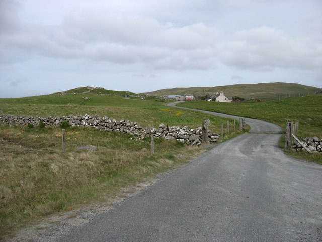
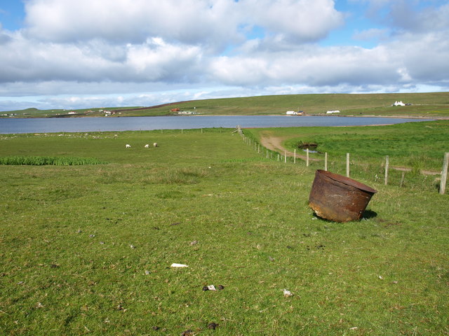
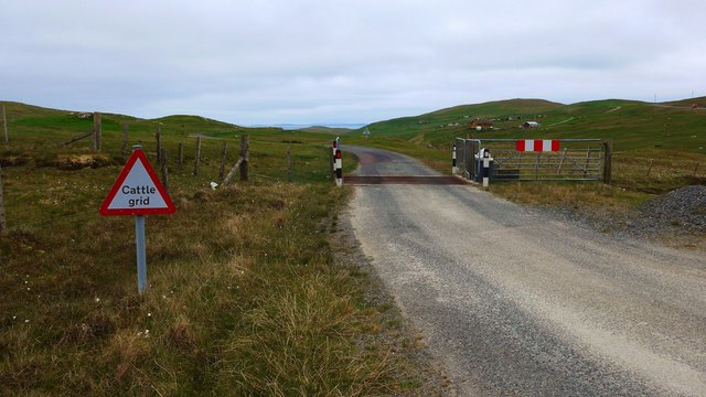
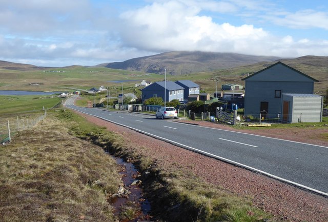
Clave Hill Images

Images are sourced within 2km of 60.481329/-1.4501282 or Grid Reference HU3077. Thanks to Geograph Open Source API. All images are credited.

Skjerda Water, Urafirth
Burn of Eelawater, Urafirth
Hillswick Hall
Hillswick Hall
The Loch of Urafirth In the distance, the A970 climbs a modest hill on its way south.
The Loch of Urafirth
In the distance, the A970 climbs a modest hill on its way south.
Urafirth village The A970 goes through this village, but fortunately with only a couple of houses on the 'wrong' side. The line of the old, single-track road can be seen on the left.
Urafirth village
The A970 goes through this village, but fortunately with only a couple of houses on the 'wrong' side. The line of the old, single-track road can be seen on the left.
Olnesfirth and Hamar Voe
The lane from Olnesfirth The A970 is in the slight dip about 250 metres ahead.
The lane from Olnesfirth
The A970 is in the slight dip about 250 metres ahead.
Hamar Farm I was at the end of the public road: the rather battered sign says Private Road, although I doubt that there would have been any objection had I walked closer. But there wasn't anywhere to park!
Hamar Farm
I was at the end of the public road: the rather battered sign says Private Road, although I doubt that there would have been any objection had I walked closer. But there wasn't anywhere to park!
Cootch Kettle Lost Cootch (Cutch) Kettle in a field next to the track leading to Ura Firth Beach.
Cootch Kettle
Lost Cootch (Cutch) Kettle in a field next to the track leading to Ura Firth Beach.
Cattle grid on the A970 to Urrafirth
A970 dropping into Urafirth
Road to Ronas Voe from Urafirth by the Loch of Urafirth
St Magnus Bay hotel
St Magnus Bay hotel
The Long Ayre Separating the inland water of The Wadill from Ura Firth.
The Long Ayre
Separating the inland water of The Wadill from Ura Firth.
Urafirth Ronas Hill, in the background, is the highest summit in Shetland, rising as a broad dome of stony, granite tundra above the great plateau of North Roe. This is a wild and windswept place but the views are superb.
Urafirth
Ronas Hill, in the background, is the highest summit in Shetland, rising as a broad dome of stony, granite tundra above the great plateau of North Roe. This is a wild and windswept place but the views are superb.
Burn of Eelawater The outflow from Eela Water.
Heading for Hamar Voe.
Burn of Eelawater
The outflow from Eela Water. Heading for Hamar Voe.
Peat cutting Stacked for drying.
Peat cutting
Stacked for drying.
A970 northbound near Skierda Water The A970 runs for 71 miles across most of the length of the "Mainland" in the Shetland Islands. It is a good-quality single-carriageway road for most of its route. Travelling from south to north, the road begins at Grutness near Sumburgh Airport and winds around the many hills and inlets passing close to a number of small villages without going through any large ones before Lerwick. After looping around Lerwick, a short spur runs to Scalloway whilst the main route continues northwards towards Brae where it crosses the narrow isthmus of Mavis Grind. At Sandy Lochs the road splits and a four-mile spur goes through Urafirth to Hillswick. The main route continuing to the right towards its northern terminus at Isbister. This last part of the route tends to be narrower with passing places.

<span class="nowrap"><a title="https://www.sabre-roads.org.uk/wiki/index.php?title=A970" rel="nofollow ugc noopener" href="https://www.sabre-roads.org.uk/wiki/index.php?title=A970">Link</a><img style="margin-left:2px;" alt="External link" title="External link - shift click to open in new window" src="https://s1.geograph.org.uk/img/external.png" width="10" height="10"/></span>  SABRE
A970 northbound near Skierda Water
The A970 runs for 71 miles across most of the length of the "Mainland" in the Shetland Islands. It is a good-quality single-carriageway road for most of its route. Travelling from south to north, the road begins at Grutness near Sumburgh Airport and winds around the many hills and inlets passing close to a number of small villages without going through any large ones before Lerwick. After looping around Lerwick, a short spur runs to Scalloway whilst the main route continues northwards towards Brae where it crosses the narrow isthmus of Mavis Grind. At Sandy Lochs the road splits and a four-mile spur goes through Urafirth to Hillswick. The main route continuing to the right towards its northern terminus at Isbister. This last part of the route tends to be narrower with passing places. LinkExternal link SABRE
Show me another place!

Clave Hill is located at Grid Ref: HU3077 (Lat: 60.481329, Lng: -1.4501282)

Unitary Authority: Shetland Islands

Police Authority: Highlands and Islands

What 3 Words

///refilled.honey.factored. Near Brae, Shetland Islands

Related Wikis

Assater

Assater (also spelled Assetter) is a hamlet on Mainland, in Shetland, Scotland. Assater is situated in the parish of Northmaven. It is about 1.3 miles...
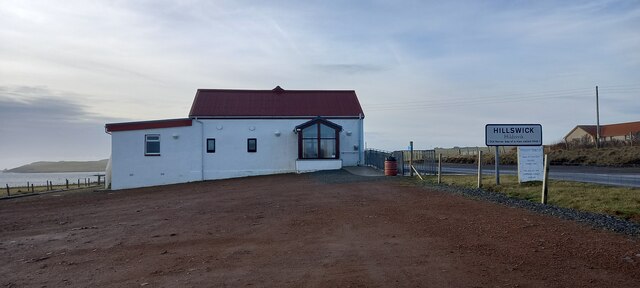
Hillswick

Hillswick is a small village in Northmavine, on the shore of the Atlantic Ocean and lies to the north-north west of Mainland, Shetland, the most northerly...

Battle of Ronas Voe

The Battle of Ronas Voe was a naval engagement between the English Royal Navy and the Dutch East India ship Wapen van Rotterdam on 14 March 1674 in Ronas...

Punds Water

Punds Water is a freshwater loch near Mangaster in Northmavine, Shetland. It also gives its name to a nearby Neolithic heel-shaped cairn. == Heel-shaped... ==

Nearby Amenities

Located within 500m of 60.481329,-1.4501282
The data included in this document is from www.openstreetmap.org. The data is made available under ODbL.

Have you been to Clave Hill?

Leave your review of Clave Hill below (or comments, questions and feedback).