Kimberley
Settlement in Nottinghamshire Broxtowe
England
Kimberley

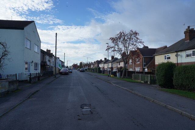
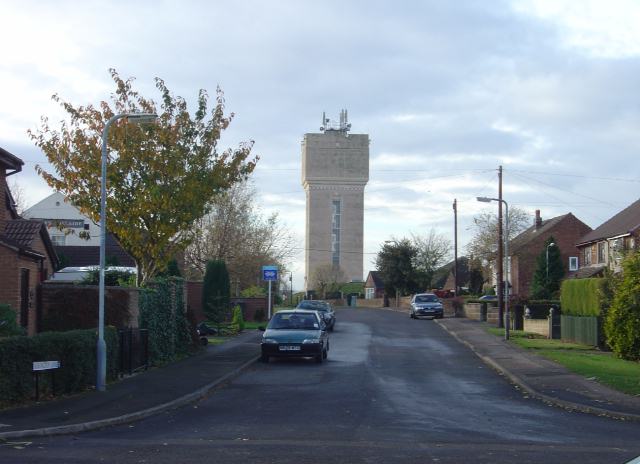
Kimberley is a small town located in Nottinghamshire, England. Situated about six miles northwest of Nottingham city center, it is part of the borough of Broxtowe. The town has a population of around 7,000 residents.
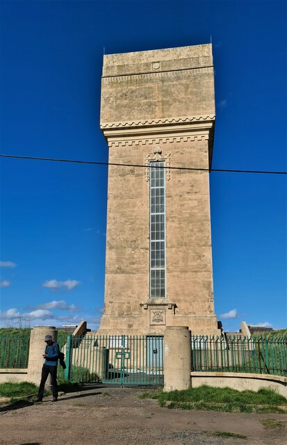
Historically, Kimberley was primarily an industrial town known for its coal mining and lace-making industries. The town's mining heritage is evident in its landscape, with former mining sites now transformed into green spaces and recreational areas. The town's rich industrial past can also be explored at the Kimberley Brewery Museum, which showcases the history of brewing in the area.
Today, Kimberley is a thriving community with a range of amenities for its residents. The town has a variety of local shops, supermarkets, and eateries, providing convenient options for everyday needs. There are also several pubs and restaurants, offering a selection of cuisines.
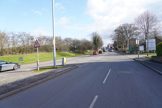
Kimberley benefits from its proximity to Nottingham, with excellent transport links connecting the two areas. The town is served by regular bus services, making it easy to access surrounding towns and villages. Additionally, Kimberley has its own railway station, providing direct links to Nottingham and other major cities.
The town is also known for its strong community spirit, with various local events and activities taking place throughout the year. Kimberley's annual carnival is a highlight, attracting visitors from nearby areas. The town also has several parks and green spaces, providing opportunities for outdoor recreation and leisure activities.
In summary, Kimberley is a small but vibrant town in Nottinghamshire, with a rich industrial history, a range of amenities, and a strong sense of community.
If you have any feedback on the listing, please let us know in the comments section below.
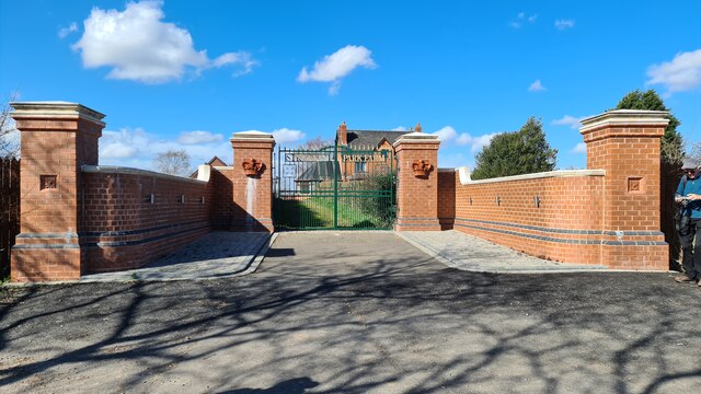
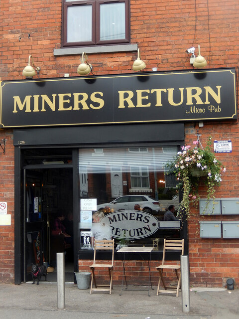
Kimberley Images
Images are sourced within 2km of 52.997517/-1.257175 or Grid Reference SK4944. Thanks to Geograph Open Source API. All images are credited.


Kimberley is located at Grid Ref: SK4944 (Lat: 52.997517, Lng: -1.257175)
Administrative County: Nottinghamshire
District: Broxtowe
Police Authority: Nottinghamshire
What 3 Words
///level.pine.retain. Near Kimberley, Nottinghamshire
Related Wikis
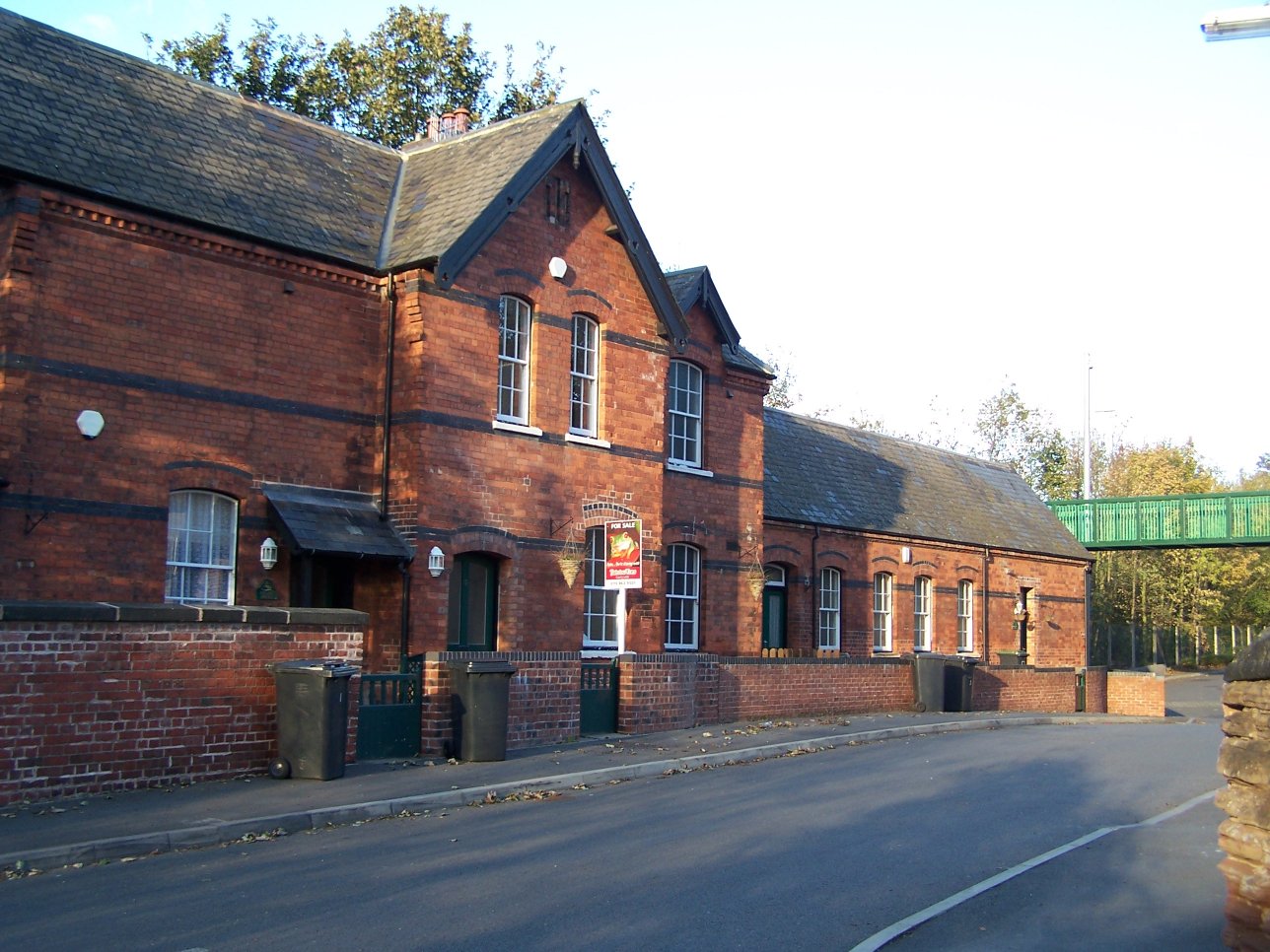
Kimberley East railway station
Kimberley East Railway Station was a station serving the town of Kimberley in Nottinghamshire, England. == History == It was opened by the Great Northern...

Kimberley, Nottinghamshire
Kimberley is a town and civil parish in the Borough of Broxtowe in Nottinghamshire, England, lying 6 miles northwest of Nottingham along the A610. The...

Kimberley West railway station
Kimberley West railway station was a station serving the town of Kimberley in Nottinghamshire, England. == History == It was built in 1882 for the Midland...

Kimberley Brewery
The Kimberley Brewery, also known as Hardy & Hanson's Brewery or Hardys & Hansons, was the oldest independent brewery in the English county of Nottinghamshire...
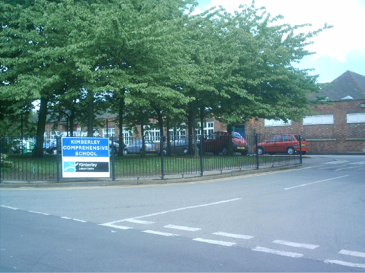
Kimberley School
The Kimberley School, formerly Kimberley Comprehensive School, is a secondary school in Kimberley, Nottinghamshire, England. It has academy status. Part...
Swingate, Nottinghamshire
Swingate is a small English village positioned between of Kimberley and Babbington, in the Broxtowe district, in the county of Nottinghamshire. == History... ==

Kimberley Miners Welfare F.C.
Kimberley Miners Welfare Football Club is a football club based in Kimberley, Nottinghamshire, England. They are currently members of the United Counties...
Kimberley Town F.C.
Kimberley Town Football Club was a football club based in Kimberley, Nottinghamshire, England. They joined the Midland League in 1971. They reached the...
Nearby Amenities
Located within 500m of 52.997517,-1.257175Have you been to Kimberley?
Leave your review of Kimberley below (or comments, questions and feedback).