Brindister Hill

Hill, Mountain in Shetland

Scotland

Brindister Hill

Northra Voe A boat heads back out into Northra Voe after dropping off a passenger at the small floating pontoon. The WW1 guns on Swarbacks Head can be seen in the distance.
Northra Voe Credit: David Nicolson

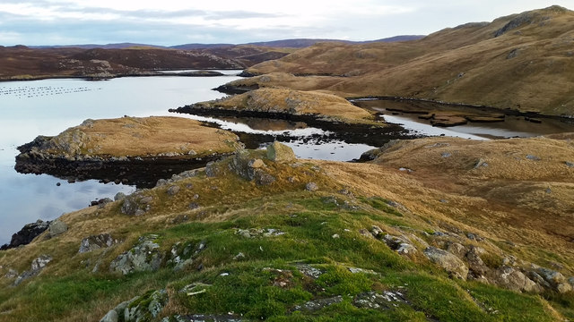
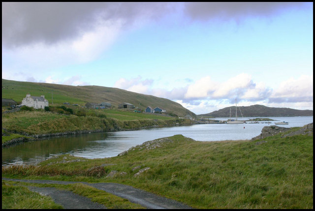
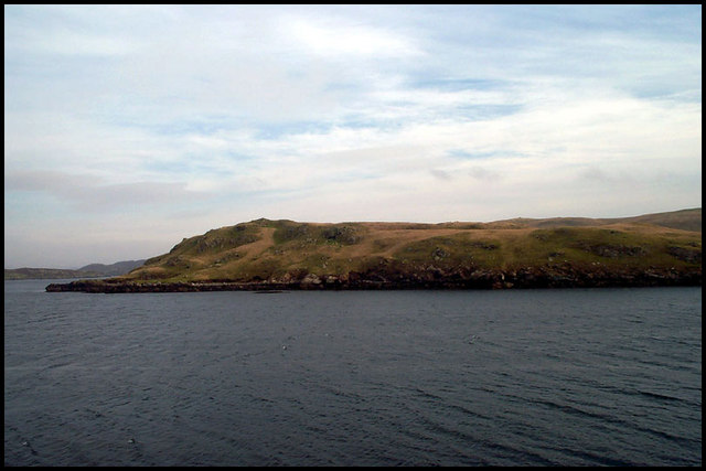
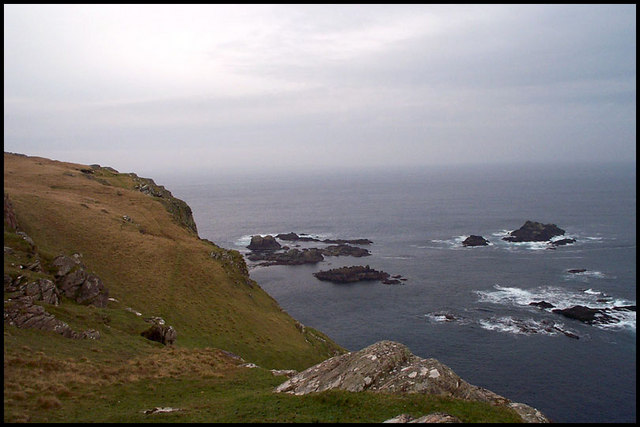
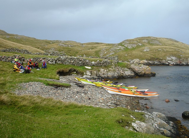
Brindister Hill is a prominent hill located in the Shetland Islands, Scotland. Situated in the southwestern part of the main island, known as Mainland, it forms part of the rolling landscape that characterizes this region. Rising to an elevation of approximately 178 meters (584 feet), Brindister Hill offers breathtaking panoramic views of the surrounding countryside and coastline.

The hill is notable for its distinctive shape, featuring a gentle slope on one side and a steeper incline on the other. Its unique topography makes it a popular destination for hikers and outdoor enthusiasts who are drawn to its natural beauty and picturesque setting. The hill is easily accessible, with a well-maintained path leading to the summit, making it an ideal spot for both experienced climbers and casual walkers.

Brindister Hill is also known for its rich wildlife and diverse plant species. The hillside is covered in lush vegetation, including heather, grasses, and various wildflowers, adding bursts of color to the landscape during the warmer months. It is home to a variety of bird species, including skylarks and meadow pipits, which can often be heard singing as they soar overhead.

The hill is a popular spot for birdwatching, photography, and picnicking. Its close proximity to nearby settlements, such as Lerwick, the largest town in Shetland, makes it easily accessible for visitors and locals alike. Brindister Hill is a true gem of the Shetland Islands, offering a peaceful retreat in nature and a chance to connect with the stunning surroundings that make this region so special.

If you have any feedback on the listing, please let us know in the comments section below.

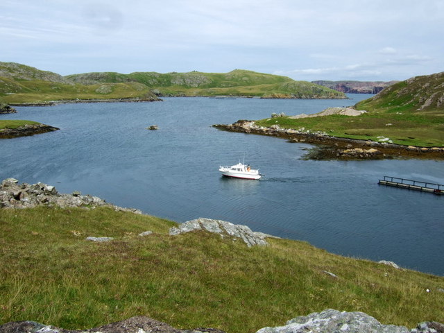
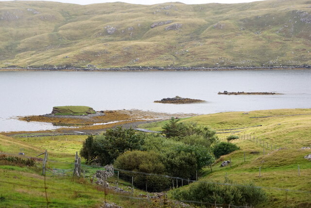
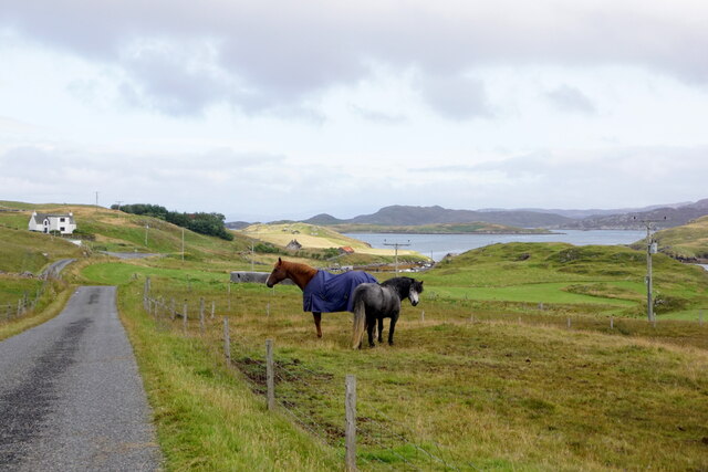
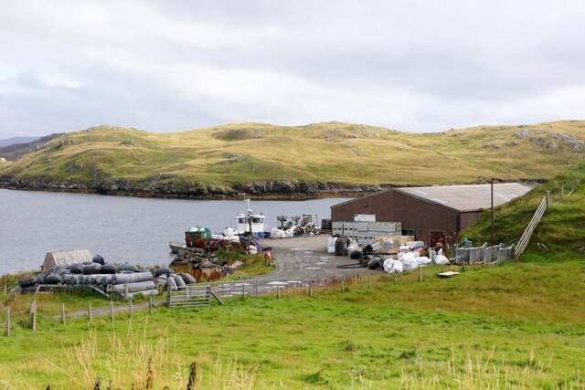
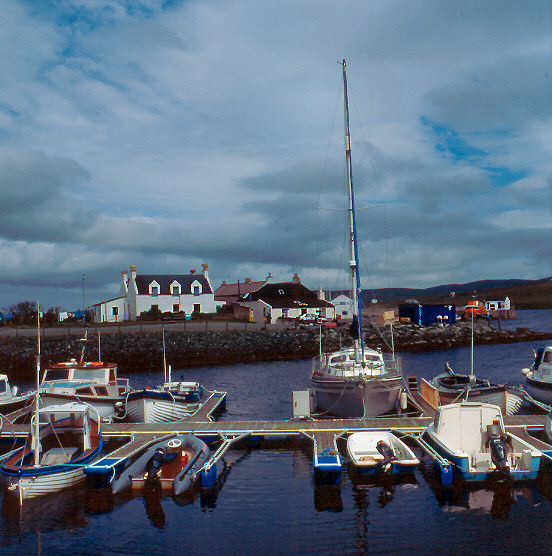
Brindister Hill Images

Images are sourced within 2km of 60.314552/-1.4750692 or Grid Reference HU2959. Thanks to Geograph Open Source API. All images are credited.

Northra Voe A boat heads back out into Northra Voe after dropping off a passenger at the small floating pontoon. The WW1 guns on Swarbacks Head can be seen in the distance.
Northra Voe
A boat heads back out into Northra Voe after dropping off a passenger at the small floating pontoon. The WW1 guns on Swarbacks Head can be seen in the distance.
Un-named loch, Vementry Isle A perfect loch, with Cow Head, the Holms of Uyea Sound, and the coastline of Shetland Mainland in the background, as seen from the chambered cairn, Vementry.
Un-named loch, Vementry Isle
A perfect loch, with Cow Head, the Holms of Uyea Sound, and the coastline of Shetland Mainland in the background, as seen from the chambered cairn, Vementry.
Chambered Cairn, Muckle Ward, Vementry Isle This looks like any other cairn from this angle, but see another picture I have posted which shows the chamber.
Chambered Cairn, Muckle Ward, Vementry Isle
This looks like any other cairn from this angle, but see another picture I have posted which shows the chamber.
Chambered Cairn entrance, Vementry Isle Apparently the body of the deceased was laid OUTSIDE the chamber, for the eagles to consume the flesh, and the bones were then placed inside the chamber.  The original eco-burial.
Chambered Cairn entrance, Vementry Isle
Apparently the body of the deceased was laid OUTSIDE the chamber, for the eagles to consume the flesh, and the bones were then placed inside the chamber. The original eco-burial.
Broch at Brindister Voe
Horses at Brindister
Pier at Brindister
Pier at Brindister
View from Muckle Head Looking east from the top of Muckle Head that sits out in the North Voe of Clousta. The small islet is cut off at high water and there is a tidal pool on the right.
View from Muckle Head
Looking east from the top of Muckle Head that sits out in the North Voe of Clousta. The small islet is cut off at high water and there is a tidal pool on the right.
Glacial Erratic Glacial erratic, Walhulters, Neeans, view to Ruskets Water.
Glacial Erratic
Glacial erratic, Walhulters, Neeans, view to Ruskets Water.
Noonsbrough Settlement Noonsbrough houses and pier with yacht moored
Noonsbrough Settlement
Noonsbrough houses and pier with yacht moored
Brindister Voe The head of Brindister Voe coastline and Linga Isle in the distance
Brindister Voe
The head of Brindister Voe coastline and Linga Isle in the distance
Longa Ness Coast of Longa Ness from Brindister
Longa Ness
Coast of Longa Ness from Brindister
Face of Neeans Face of Neeans headland with Long Skerry rocks.
Face of Neeans
Face of Neeans headland with Long Skerry rocks.
Lunch stop in Brindister Voe During a week of high winds and rough seas, it was difficult to find a sheltered route to paddle in Shetland. Brindister Voe gives the westerlies little fetch to build waves, but as the open sea was approached to the north, a building swell gave some idea of how serious conditions could become. A retreat to this little beach gave us time to consider our options, all of which would be committing to water we could not see in advance, with no hope of retreat against the wind. Discretion being the better part of valour, we turned back into the Voe.
Lunch stop in Brindister Voe
During a week of high winds and rough seas, it was difficult to find a sheltered route to paddle in Shetland. Brindister Voe gives the westerlies little fetch to build waves, but as the open sea was approached to the north, a building swell gave some idea of how serious conditions could become. A retreat to this little beach gave us time to consider our options, all of which would be committing to water we could not see in advance, with no hope of retreat against the wind. Discretion being the better part of valour, we turned back into the Voe.
Gruna Isle Looking out Southra Voe on Vementry to the small isle of Gruna with the Face of the Neaans behind it.
Gruna Isle
Looking out Southra Voe on Vementry to the small isle of Gruna with the Face of the Neaans behind it.
Maa Loch brig A fine stone brig over the short outflow burn from the Maa Loch into sheltered Peerie Voe.
Maa Loch brig
A fine stone brig over the short outflow burn from the Maa Loch into sheltered Peerie Voe.
The Brigs of Clousta Da Brigs o Clousta at low tide.
The Brigs of Clousta
Da Brigs o Clousta at low tide.
Buildings at Vementry, Shetland These buildings are on the Shetland Mainland.  The uninhabited Isle of Vementry is close by, across the sound.
Buildings at Vementry, Shetland
These buildings are on the Shetland Mainland. The uninhabited Isle of Vementry is close by, across the sound.
Show me another place!

Brindister Hill is located at Grid Ref: HU2959 (Lat: 60.314552, Lng: -1.4750692)

Unitary Authority: Shetland Islands

Police Authority: Highlands and Islands

What 3 Words

///tripods.active.scanty. Near Aith, Shetland Islands

Related Wikis

Brindister, West Mainland

Brindister is a settlement on the West Mainland of Shetland, Scotland. It is within the parish of Sandsting, and on the western shore of Brindister Voe...

Vementry

Vementry (Old Norse: "Vemunðarey") is an uninhabited Scottish island in Shetland on the north side of the West Mainland, lying south of Muckle Roe. �...

Linga (near Vementry)

Linga is one of the Shetland Islands, near Vementry. It is one of many islands in Shetland called Linga. The island is uninhabited. == Geography and... ==

Clousta

Clousta is a hamlet on Mainaland, in the island's west, Shetland, Scotland. Approximately seventy people live here, many of whom are commuters, but local...

Broch of West Burrafirth

The Broch of West Burrafirth is an Iron Age broch located on the west side of Mainland, Shetland (grid reference HU25625720). == Location == The broch...

Braewick, Sandsting

Braewick is a settlement on the west Mainland of Shetland, Scotland. Braewick is on the western shore of Aith Voe and 1.2 mi (2 km) north of Aith itself...

Papa Little

Papa Little (Scots: Papa Little; Old Norse: Papey Litla, meaning "the little island of the priests") is an island in St Magnus Bay, Shetland, Scotland...

Aith

Aith, (Shetland dialect: Eid, Old Norse: Eið, meaning Isthmus, cf Eday), is a village on the Northern coast of the West Shetland Mainland, Scotland at...

Nearby Amenities

Located within 500m of 60.314552,-1.4750692
Whaal Voe
Natural: bay
Lat/Long: 60.3126891/-1.4762879
Trea Wick
Natural: bay
Lat/Long: 60.317386/-1.4777041
The data included in this document is from www.openstreetmap.org. The data is made available under ODbL.

Have you been to Brindister Hill?

Leave your review of Brindister Hill below (or comments, questions and feedback).