Castle Hill
Hill, Mountain in Yorkshire Harrogate
England
Castle Hill
Castle Hill is a prominent landmark located in Huddersfield, West Yorkshire, England. Standing at an elevation of around 900 feet (274 meters), it is often referred to as a hill but is technically classified as a monadnock or an isolated hill. This geological formation is composed of Millstone Grit, a type of coarse sandstone that is prevalent in the region.
The hill is crowned by a distinctive Victorian tower known as Victoria Tower, which was built in 1899 to commemorate Queen Victoria's diamond jubilee. The tower stands at an impressive height of 106 feet (32 meters) and offers panoramic views of the surrounding countryside, including the Pennines and the towns of Huddersfield and Holmfirth.
Castle Hill has a rich history dating back thousands of years. Archaeological evidence suggests that the hilltop was inhabited during the late Bronze Age and Iron Age, with remnants of ancient field systems and burial mounds discovered in the vicinity. It is believed to have been a significant defensive site during the Iron Age and Roman period, with evidence of a fortification or hillfort.
Today, Castle Hill is a popular destination for locals and tourists alike. Its accessible location and well-maintained footpaths make it a popular spot for hikers and walkers. The site also hosts various events and gatherings, including music concerts, fairs, and firework displays. Castle Hill is not only a picturesque landmark but also a place of historical significance, providing visitors with glimpses into the past while offering breathtaking views of the Yorkshire countryside.
If you have any feedback on the listing, please let us know in the comments section below.
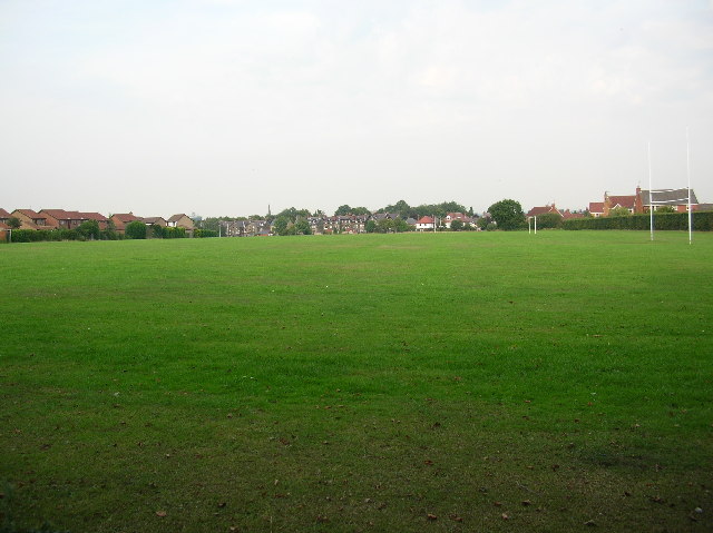
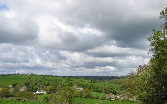
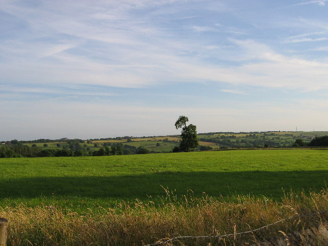
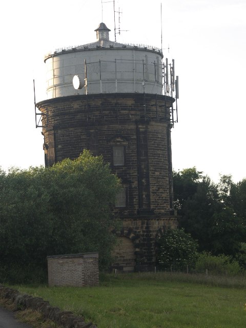
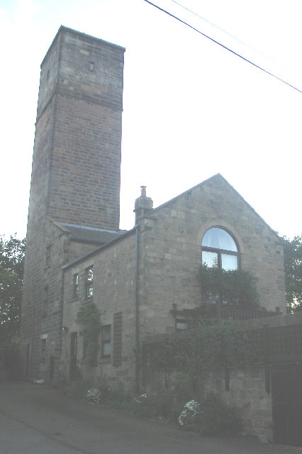
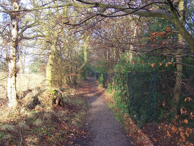
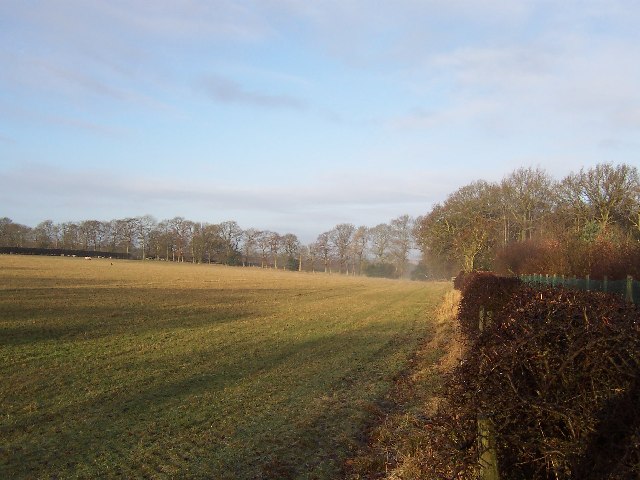
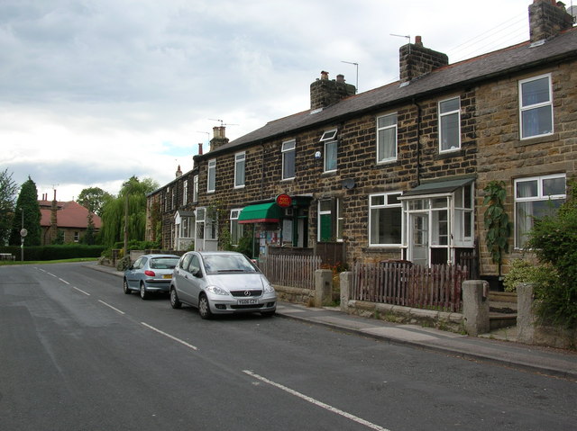
Castle Hill Images
Images are sourced within 2km of 53.973147/-1.5581365 or Grid Reference SE2953. Thanks to Geograph Open Source API. All images are credited.


Castle Hill is located at Grid Ref: SE2953 (Lat: 53.973147, Lng: -1.5581365)
Division: West Riding
Administrative County: North Yorkshire
District: Harrogate
Police Authority: North Yorkshire
What 3 Words
///pans.slimy.purple. Near Pannal, North Yorkshire
Nearby Locations
Related Wikis
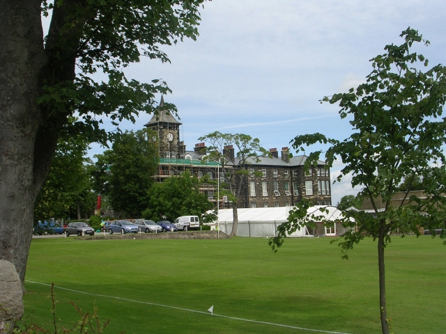
Ashville College
Ashville College is a co-educational independent school for both day and boarding pupils aged 2–18 in Harrogate, North Yorkshire, England. It was founded...
Rossett School
Rossett School is a co-educational secondary school with academy status in Harrogate, North Yorkshire, England. Its pupils are from Harrogate, neighbouring...
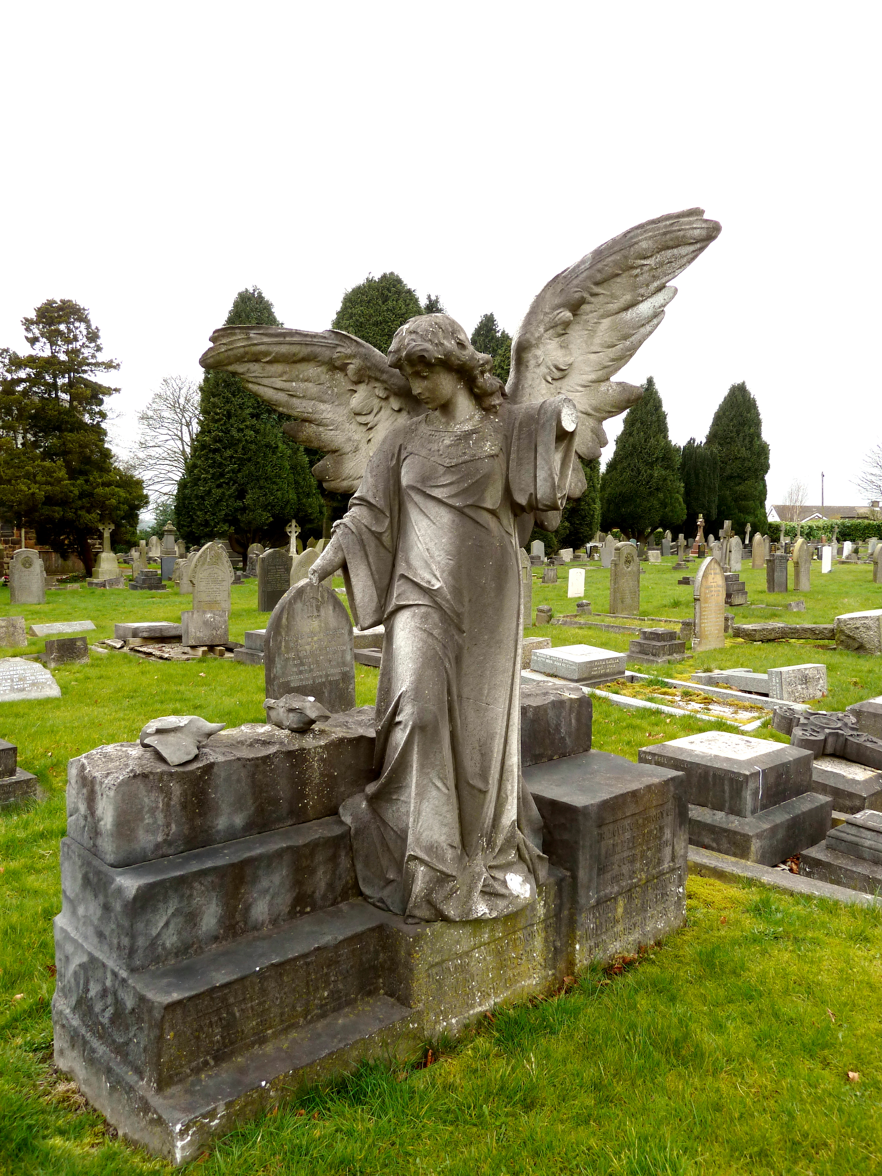
Harlow Hill Cemetery
Harlow Hill Cemetery on Otley Road, Harrogate, North Yorkshire, England, is a local authority cemetery established on land donated by Henry Lascelles,...
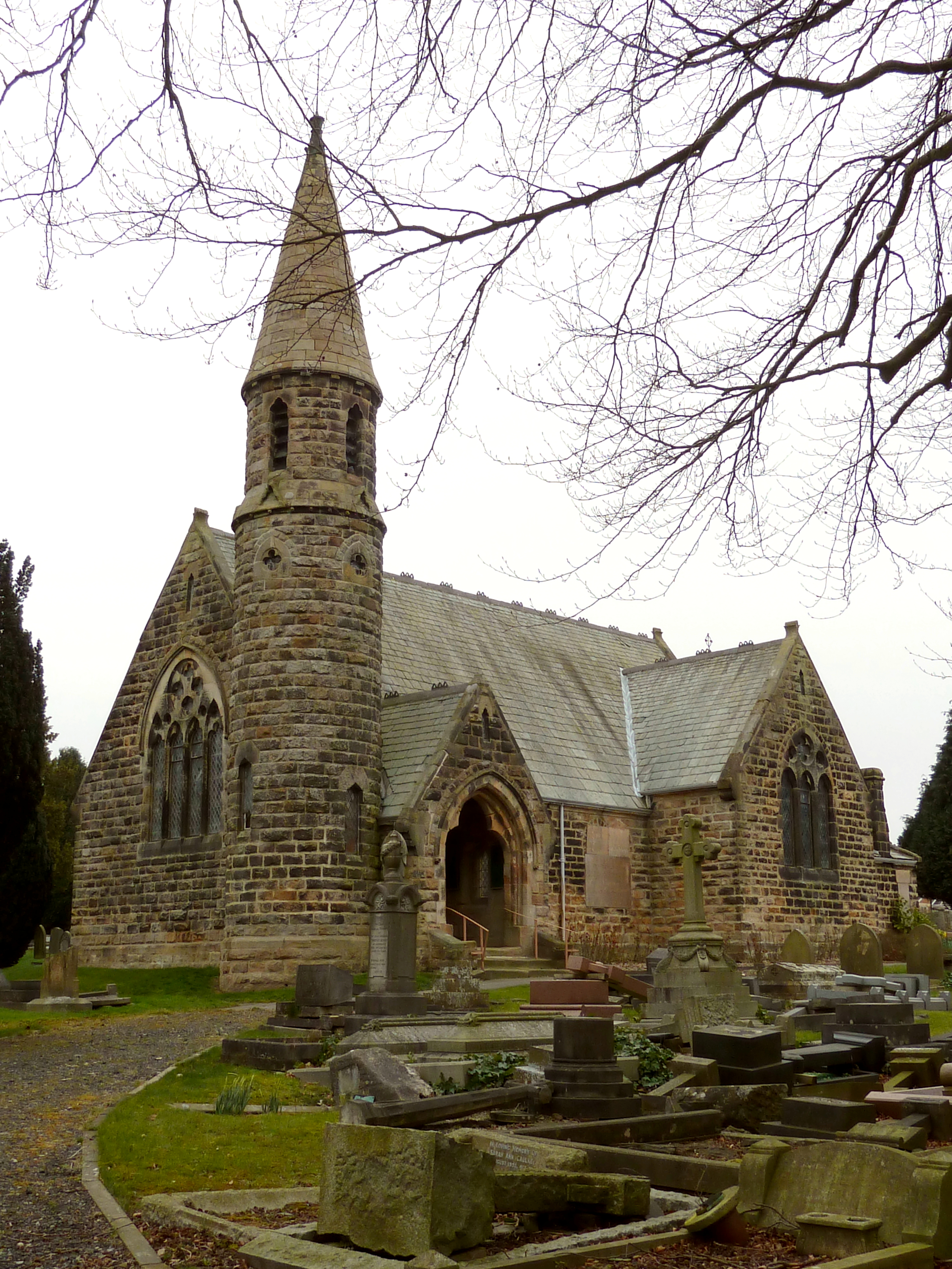
Church of All Saints, Harlow Hill
The Church of All Saints, Harlow Hill, Harrogate, North Yorkshire, England, is a grade II listed mission church, or chapel of ease, completed in 1871 on...

St George's House, Harrogate
St George's House, originally called the Northern Police Orphanage was an orphanage and children's home located on Otley Road, Harrogate, Yorkshire, England...
Harrogate Grammar School
Harrogate Grammar School is a co-educational academy school and sixth form in Harrogate, North Yorkshire, England. It has around 1,900 pupils in the main...
RAF Harrogate
Royal Air Force Harrogate or RAF Harrogate, sometimes known as Ministry of Defence (MoD) Harrogate, was the name for two distinct Royal Air Force establishments...

Beckwith, North Yorkshire
Beckwith is a small settlement in North Yorkshire, England. It lies 2 miles (3 km) south west of Harrogate. The place name was first recorded in about...
Related Videos

HARROGATE | The ultimate tour of Harrogate Town Centre
HARROGATE | The ultimate tour of Harrogate Town Centre in North Yorkshire England, including the shops, hotels, betty's tea ...
You HAVE to see these WATERFALLS hiking in NORTH YORKSHIRE, ENGLAND (Janets Foss & Gordale Scar)
Looking for waterfalls on your trip to North Yorkshire, UK? Join Hay & Kyle as they show you two must-see, spectacular waterfalls ...
Solo Hiking and Camping on The Cleveland Way in North Yorkshire
The Cleveland Way is a 110 mile National Trail that runs from the small market town of Helmsley, across the North Yorkshire ...
🇬🇧 4K Walking Tour of Harrogate☀️Explore this Beautiful English Spa Town in Yorkshire.
This 4K walking tour takes us through the beautiful English town of Harrogate. Located in North Yorkshire, Harrogate is known as ...
Nearby Amenities
Located within 500m of 53.973147,-1.5581365Have you been to Castle Hill?
Leave your review of Castle Hill below (or comments, questions and feedback).