Wood Hill
Hill, Mountain in Yorkshire Harrogate
England
Wood Hill
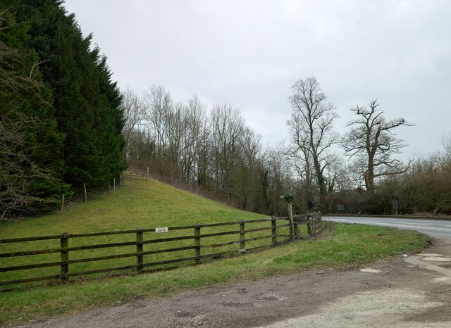
Wood Hill is a picturesque hill located in the county of Yorkshire, England. Situated in the northern part of the county, it is part of the stunning landscape of the Yorkshire Dales National Park. With its distinctive shape and lush greenery, Wood Hill stands as a prominent feature in the surrounding area.
Rising to an elevation of approximately 400 meters (1,312 feet), Wood Hill is often referred to as a hill rather than a mountain due to its relatively modest height. Nevertheless, it offers breathtaking panoramic views of the surrounding countryside, including the rolling hills, valleys, and quaint villages that dot the landscape.
The hill is covered in dense woodlands, primarily consisting of various species of deciduous trees such as oak, beech, and birch. These woodlands provide a haven for a diverse range of wildlife, including birds, mammals, and insects. The area is particularly renowned for its vibrant birdlife, with species such as buzzards, owls, and woodpeckers frequently spotted in the vicinity.
Wood Hill is a popular destination for outdoor enthusiasts, offering numerous walking and hiking trails that cater to all levels of fitness and experience. The hill's well-maintained paths and tracks provide easy access for visitors to explore its natural beauty and enjoy the tranquil surroundings. It is not uncommon to encounter groups of walkers, cyclists, and nature lovers appreciating the serenity and charm of Wood Hill.
With its stunning views, rich wildlife, and accessibility, Wood Hill in Yorkshire is undoubtedly a remarkable natural gem that continues to captivate visitors from near and far.
If you have any feedback on the listing, please let us know in the comments section below.
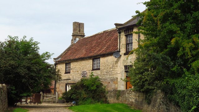
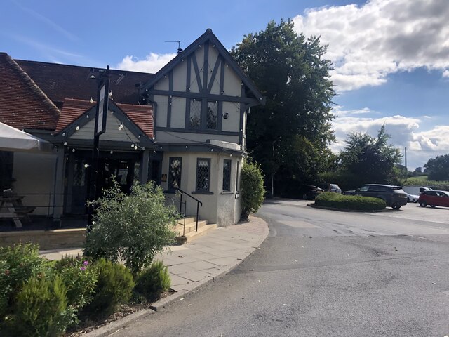
Wood Hill Images
Images are sourced within 2km of 54.052321/-1.5584276 or Grid Reference SE2961. Thanks to Geograph Open Source API. All images are credited.


Wood Hill is located at Grid Ref: SE2961 (Lat: 54.052321, Lng: -1.5584276)
Division: West Riding
Administrative County: North Yorkshire
District: Harrogate
Police Authority: North Yorkshire
What 3 Words
///feuds.shipwreck.senses. Near Harrogate, North Yorkshire
Nearby Locations
Related Wikis

Ripley, North Yorkshire
Ripley is a town and civil parish in North Yorkshire in England, a few miles north of Harrogate on the A61 road towards Ripon. The town name derives from...

Ripley Castle
Ripley Castle is a Grade I listed 14th-century country house in Ripley, North Yorkshire, England, 3 miles (4.8 km) north of Harrogate.The house is built...

Ripley Town Hall, North Yorkshire
Ripley Town Hall is a municipal building in Main Street, Ripley, North Yorkshire, England. The structure, which is used as an events venue and as a post...

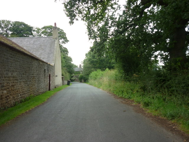
Nidd Hall
Nidd Hall was a 19th-century country house, now a hotel, in the village of Nidd, North Yorkshire, England. It is a Grade II listed building. It is constructed...
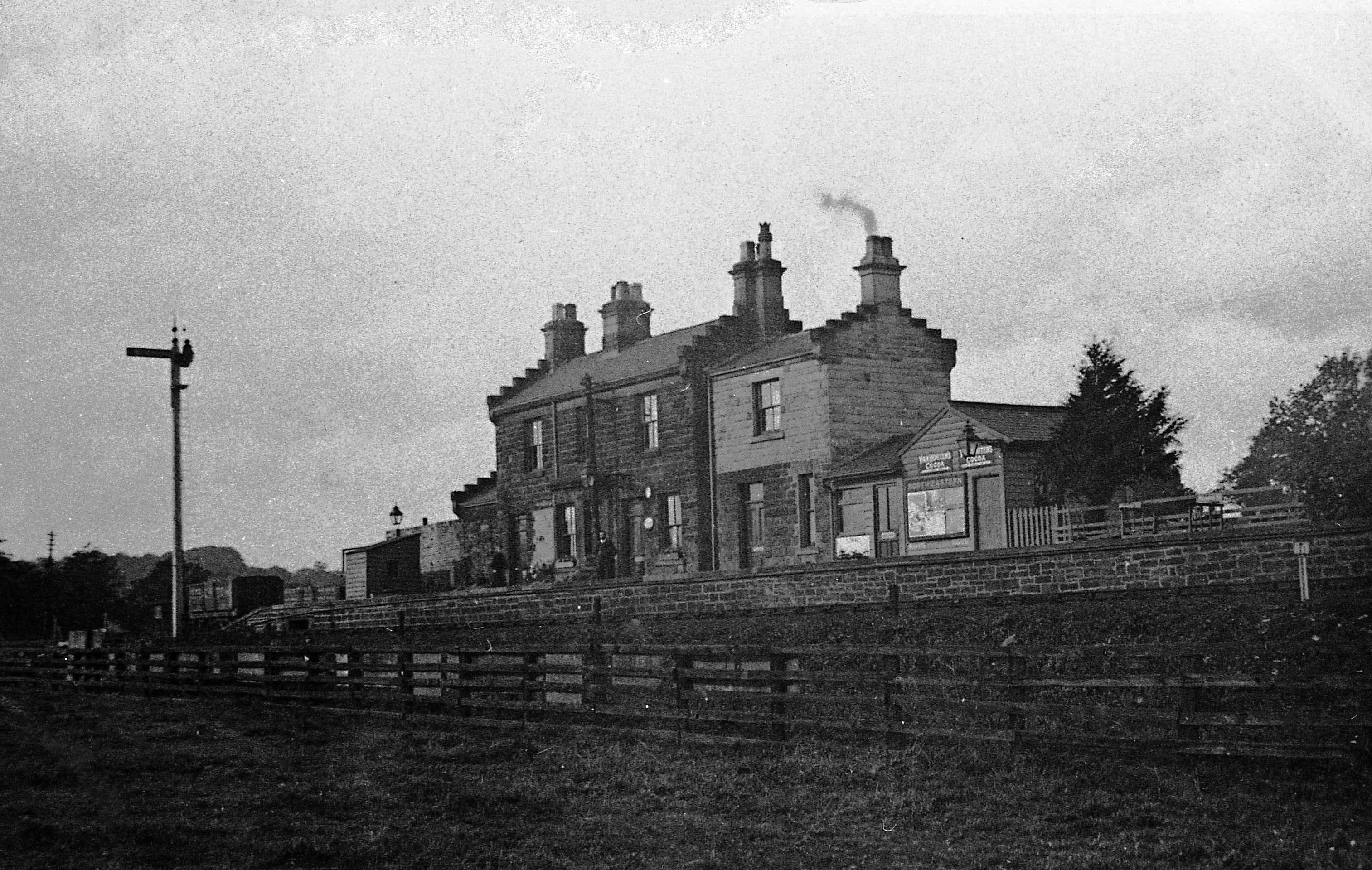
Ripley Valley railway station
Ripley Valley railway station served the villages of Killinghall and Ripley, North Yorkshire, England from 1862 to 1951 on the Nidd Valley Railway. �...
Nidd Bridge railway station
Nidd Bridge railway station served the village of Nidd, North Yorkshire, England from 1848 to 1964 on the Leeds-Northallerton Railway. == History == The...

Bedlam, North Yorkshire
Bedlam is a small village in the Harrogate district of North Yorkshire, England situated north of Harrogate.Its name most likely came from Old English...

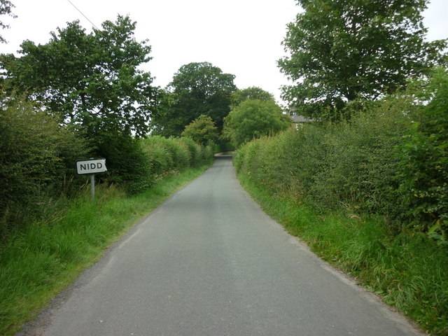
Nidd
Nidd is a small village and civil parish in the Harrogate district of North Yorkshire, England. The population of the village taken at the 2011 census...
Nearby Amenities
Located within 500m of 54.052321,-1.5584276Have you been to Wood Hill?
Leave your review of Wood Hill below (or comments, questions and feedback).