Allman Well Hill
Hill, Mountain in Yorkshire
England
Allman Well Hill
Allman Well Hill, located in the picturesque region of Yorkshire, is a prominent hill standing at an elevation of approximately 250 meters above sea level. It is situated near the village of Allman Well, which lies in the northern part of Yorkshire, England. The hill forms part of the Yorkshire Dales National Park, renowned for its stunning landscapes and rich cultural heritage.
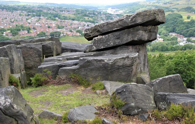
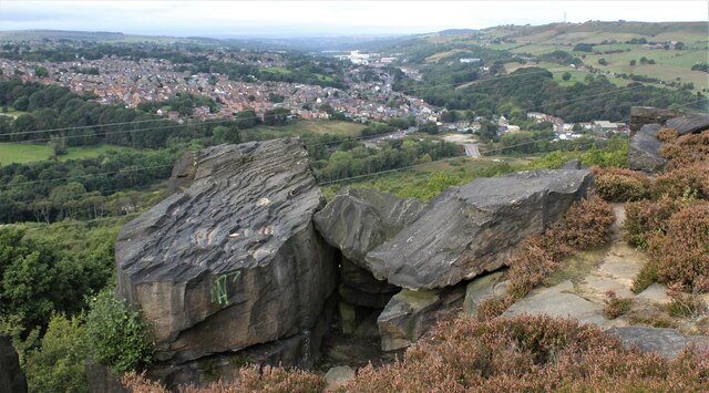
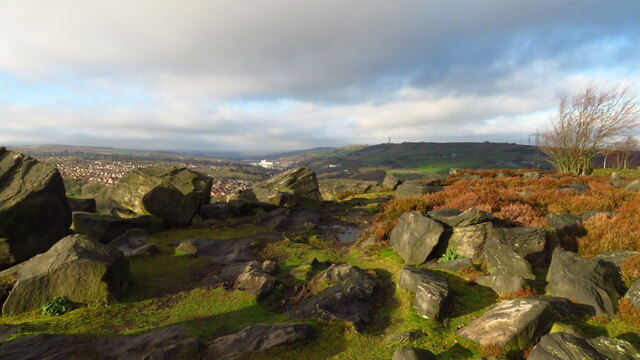
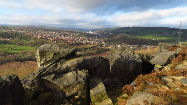
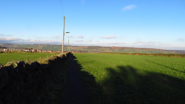
Allman Well Hill boasts breathtaking panoramic views of the surrounding countryside, allowing visitors to marvel at the rolling green hills, meandering rivers, and quaint villages that dot the landscape. The hill itself is covered in lush grass and scattered with rocky outcrops, giving it a distinctive and rugged appearance.
For outdoor enthusiasts, Allman Well Hill offers various walking and hiking trails that cater to all levels of fitness. These paths wind through the hill's diverse flora and fauna, providing an opportunity to immerse oneself in the area's natural beauty. The hill is particularly popular among birdwatchers, as it is home to a variety of species, including kestrels, peregrine falcons, and buzzards.
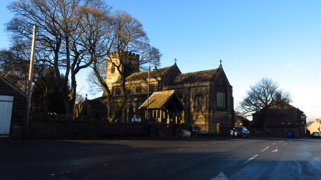
In addition to its natural charms, Allman Well Hill holds historical significance. The area is believed to have been inhabited since prehistoric times, with archaeological evidence indicating the presence of ancient settlements. The hill's strategic location also played a role in its historical importance, as it provided vantage points for observing and defending the surrounding land.
Allman Well Hill, with its captivating scenery and rich history, offers visitors a chance to connect with nature and explore the region's cultural heritage. Whether it be a leisurely stroll or an adventurous hike, this Yorkshire gem promises an unforgettable experience for all who venture to its summit.
If you have any feedback on the listing, please let us know in the comments section below.
Allman Well Hill Images
Images are sourced within 2km of 53.466221/-1.5746672 or Grid Reference SK2896. Thanks to Geograph Open Source API. All images are credited.


Allman Well Hill is located at Grid Ref: SK2896 (Lat: 53.466221, Lng: -1.5746672)
Division: West Riding
Unitary Authority: Sheffield
Police Authority: South Yorkshire
What 3 Words
///catapult.receiving.bandstand. Near Stocksbridge, South Yorkshire
Nearby Locations
Related Wikis
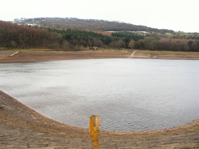
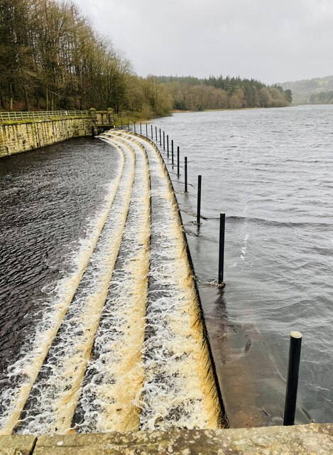
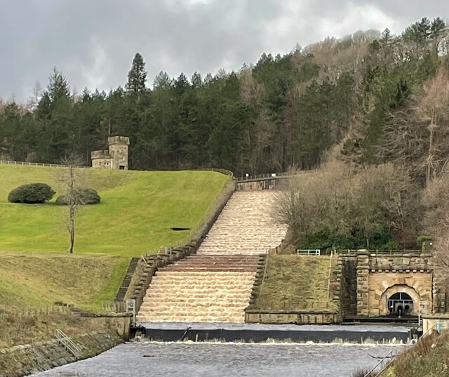
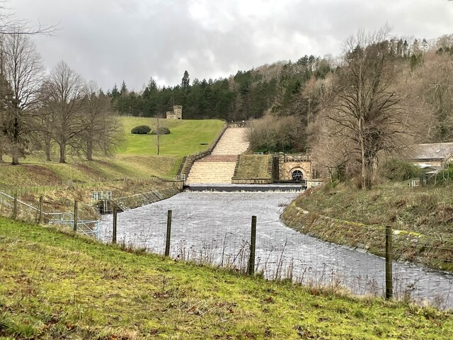
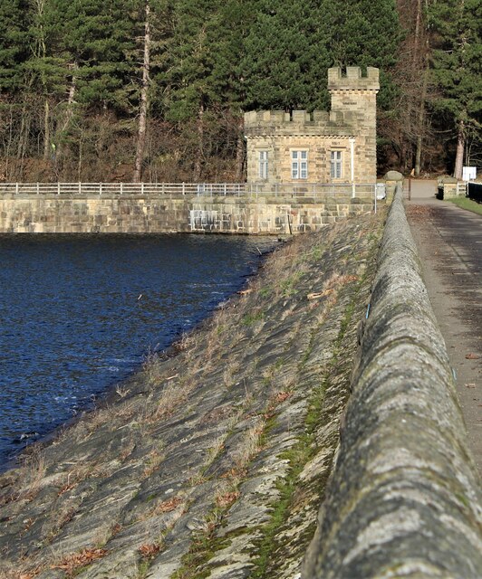
More Hall Reservoir
More Hall Reservoir is a reservoir located in the Ewden valley near Sheffield, South Yorkshire, England. The reservoir is situated to the south of Bolsterstone...

Deepcar
Deepcar is a village located on the eastern fringe of the town of Stocksbridge, South Yorkshire, England. It is in the electoral ward of Stocksbridge and...

Firth Wood
Firth Wood is a woodland in South Yorkshire, England, near the village of Oughtibridge. It covers a total area of 16.9 acres (6.84 ha). It is owned and...

Ewden Valley
Ewden Valley is a valley in the civil parish of Bradfield in the Stocksbridge and Upper Don electoral ward of Sheffield, South Yorkshire, England.Ewden...
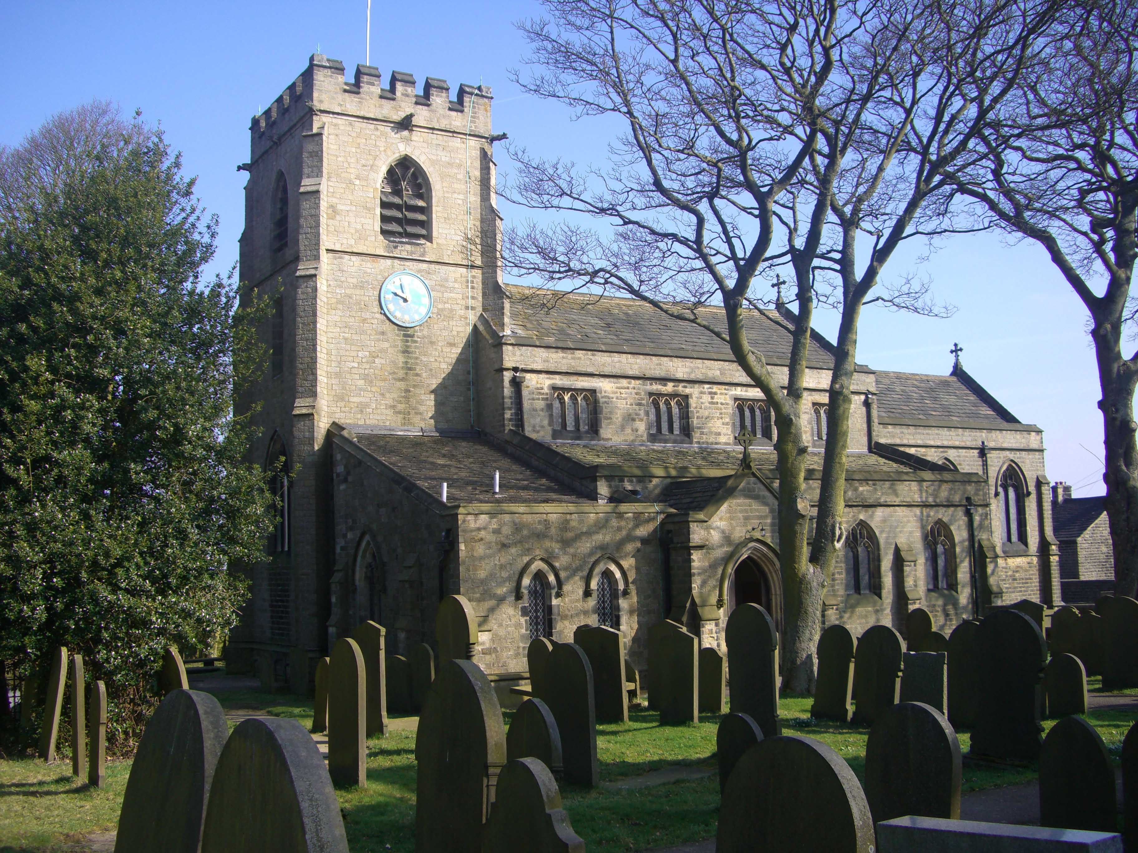
St Mary's Church, Bolsterstone
St Mary's Church, Bolsterstone is situated in the village of Bolsterstone, within the boundary of the City of Sheffield in South Yorkshire, England. The...
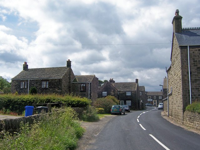
Bolsterstone
Bolsterstone is a village in South Yorkshire, England, south of Stocksbridge, and 8.5 miles to the northwest of the City of Sheffield and within the city...
Stocksbridge Park Steels F.C.
Stocksbridge Park Steels Football Club is an English association football club based in Stocksbridge, South Yorkshire. They currently compete in the Northern...
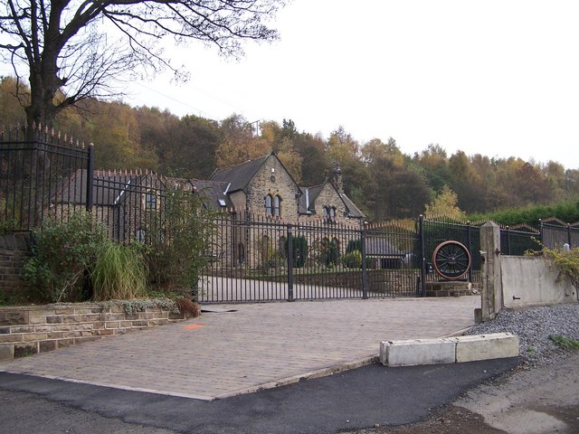
Deepcar railway station
Deepcar railway station, originally "Deep Car", is a disused railway station near Deepcar, South Yorkshire, England. The station, situated on the line...
Nearby Amenities
Located within 500m of 53.466221,-1.5746672Have you been to Allman Well Hill?
Leave your review of Allman Well Hill below (or comments, questions and feedback).