Acres Down
Hill, Mountain in Hampshire New Forest
England
Acres Down

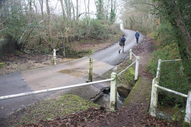
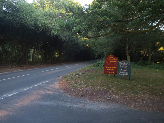
Acres Down is a picturesque hill located in the county of Hampshire, in southern England. Situated in the New Forest National Park, it is known for its stunning landscapes and natural beauty. With an elevation of approximately 198 meters (650 feet), Acres Down offers breathtaking panoramic views of the surrounding countryside.
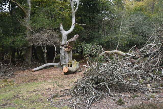
Covered in lush greenery and scattered with ancient oak trees, the hill is a haven for wildlife and nature enthusiasts. It is home to a diverse range of flora and fauna, including rare species of birds, deer, and wild ponies that roam freely across the open moorland.
Acres Down is a popular destination for outdoor activities such as hiking, walking, and cycling. There are several well-marked trails that crisscross the hill, allowing visitors to explore the area and discover its hidden gems. The hill's unique topography also attracts paragliders and hang gliders, who take advantage of the winds that sweep across the open slopes.
The area surrounding Acres Down has a rich history, with evidence of ancient settlements dating back thousands of years. Visitors can explore the remnants of Bronze Age burial mounds and Iron Age hill forts, gaining insight into the region's past.
Acres Down offers a peaceful retreat from the hustle and bustle of city life, where visitors can immerse themselves in the tranquility of nature. Whether it's enjoying a leisurely stroll, picnicking with family and friends, or simply admiring the breathtaking views, Acres Down provides a truly idyllic experience for all who visit.
If you have any feedback on the listing, please let us know in the comments section below.
Acres Down Images
Images are sourced within 2km of 50.879832/-1.6151016 or Grid Reference SU2708. Thanks to Geograph Open Source API. All images are credited.


Acres Down is located at Grid Ref: SU2708 (Lat: 50.879832, Lng: -1.6151016)
Administrative County: Hampshire
District: New Forest
Police Authority: Hampshire
What 3 Words
///champions.mildest.palms. Near Lyndhurst, Hampshire
Nearby Locations
Related Wikis

New Forest District
New Forest is a local government district in Hampshire, England. Its council is based in Lyndhurst, although the largest town is Totton. The district also...

Emery Down
Emery Down is a small village in the New Forest National Park in Hampshire, England. Its nearest town is Lyndhurst, which lies approximately 1.4 miles...

Portuguese Fireplace
The Portuguese Fireplace is a war memorial in the New Forest National Park, near the village of Lyndhurst, Hampshire, England. It is located on the road...

Christ Church, Emery Down
Christ Church is a Church of England church in Emery Down, Hampshire, England. It was designed by William Butterfield and constructed in 1863–64. The church...

New Forest
The New Forest is one of the largest remaining tracts of unenclosed pasture land, heathland and forest in Southern England, covering southwest Hampshire...

Allum Green
Allum Green is a hamlet southwest of Lyndhurst, Hampshire, England. During the night of 5/6 September 1940 it was the scene of a Luftwaffe bombing raid...

Bank, Hampshire
Bank is a village in the English county of Hampshire. The settlement is within the civil parish of Lyndhurst in the New Forest, and is located approximately...

Minstead
Minstead is a small village and civil parish in the New Forest, Hampshire, about 2 miles (3.2 km) north of Lyndhurst. There is a shop and a pub, the Trusty...
Nearby Amenities
Located within 500m of 50.879832,-1.6151016Have you been to Acres Down?
Leave your review of Acres Down below (or comments, questions and feedback).