Bladon Hill
Hill, Mountain in Derbyshire South Derbyshire
England
Bladon Hill

Bladon Hill is a prominent hill located in the county of Derbyshire, England. Situated in the southern part of the Peak District National Park, it forms part of the larger Pennine range. Bladon Hill stands at an elevation of approximately 417 meters (1,368 feet) above sea level, making it a notable landmark in the area.
The hill is characterized by its steep slopes and rugged terrain, which is predominantly composed of gritstone. It offers breathtaking panoramic views of the surrounding countryside, including the picturesque valleys and rolling hills of Derbyshire. On a clear day, one can even catch a glimpse of the distant cities of Sheffield and Manchester.
Bladon Hill is renowned for its diverse wildlife and natural beauty. The area is home to a variety of plant species, including heather, bilberry, and various grasses. It also provides a habitat for a range of animal species, such as red deer, mountain hares, and numerous bird species.
The hill attracts outdoor enthusiasts and nature lovers throughout the year. It offers various recreational activities, including hiking, birdwatching, and photography. There are well-marked trails and footpaths that allow visitors to explore the hill and its surroundings while enjoying the tranquil ambiance.
Bladon Hill is easily accessible, with nearby parking facilities and public transportation options available. Its close proximity to other popular attractions in the Peak District, such as Chatsworth House and Bakewell, makes it an ideal destination for visitors seeking to explore the natural beauty and rich history of Derbyshire.
If you have any feedback on the listing, please let us know in the comments section below.
Bladon Hill Images
Images are sourced within 2km of 52.821171/-1.6010511 or Grid Reference SK2624. Thanks to Geograph Open Source API. All images are credited.


Bladon Hill is located at Grid Ref: SK2624 (Lat: 52.821171, Lng: -1.6010511)
Administrative County: Derbyshire
District: South Derbyshire
Police Authority: Derbyshire
What 3 Words
///soup.soaks.keeps. Near Burton upon Trent, Staffordshire
Nearby Locations
Related Wikis
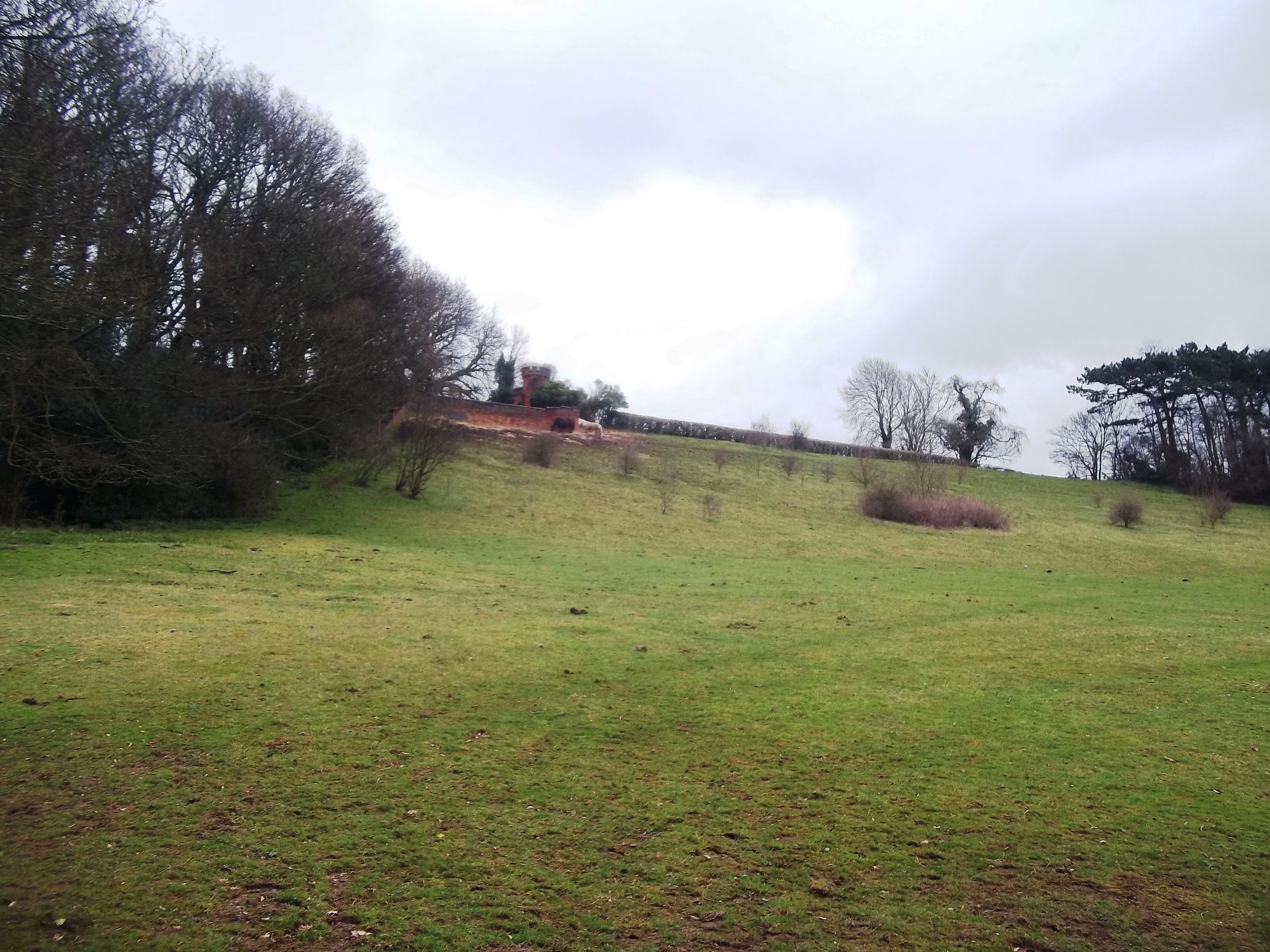
Bladon Castle
Bladon Castle is a folly, partly converted into a country house, located some 600 yards (550 m) southwest of the village of Newton Solney in South Derbyshire...

Burton upon Trent Flour Mills
Burton Flour Mills is a Grade II listed building now used for residential purposes and a hydro-electric power plant on the River Trent in Winshill, Staffordshire...
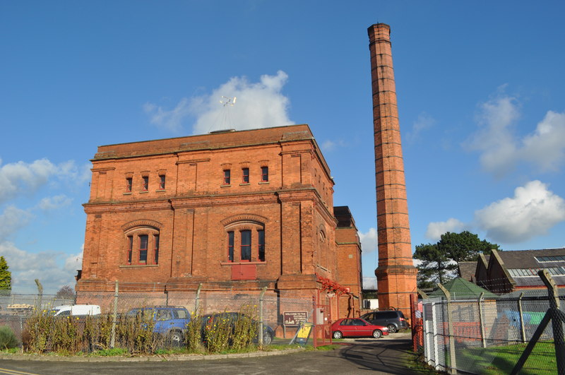
Claymills Pumping Station
Claymills Pumping Station is a restored Victorian sewage pumping station on the north side of Burton upon Trent, Staffordshire, England DE13 0DA. It was...
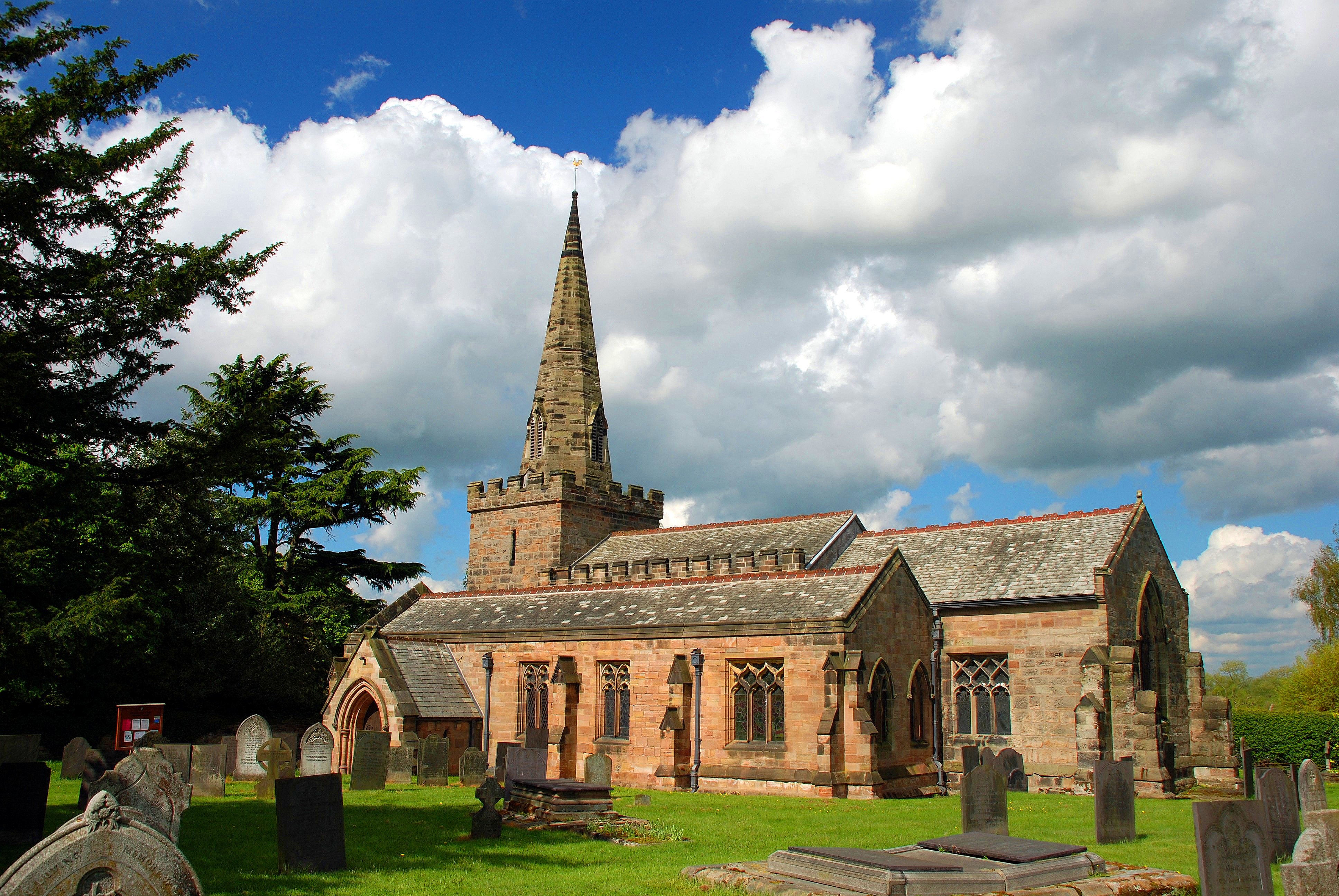
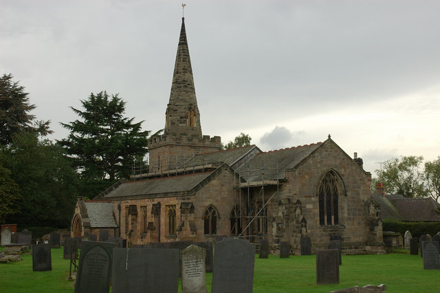
St Mary the Virgin's Church, Newton Solney
St Mary the Virgin's Church, Newton Solney is a Grade II* listed parish church in the Church of England in Newton Solney, Derbyshire. == History == The...

Burton-on-Trent CC Ground
Burton-on-Trent Cricket Club Ground is a cricket ground in Burton, England used by Derbyshire CCC for 13 first-class matches between 1914 and 1937. The...
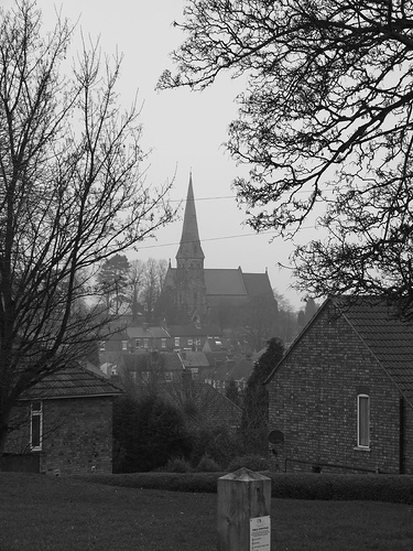
St Mark's, Winshill
St Mark's is the Church of England parish church for the Burton upon Trent suburb of Winshill, east of the town. It is part of the Diocese of Derby. Built...
Newton Solney
Newton Solney is a small village and civil parish in South Derbyshire, England, located about two miles (3 km) from the East Staffordshire border, near...
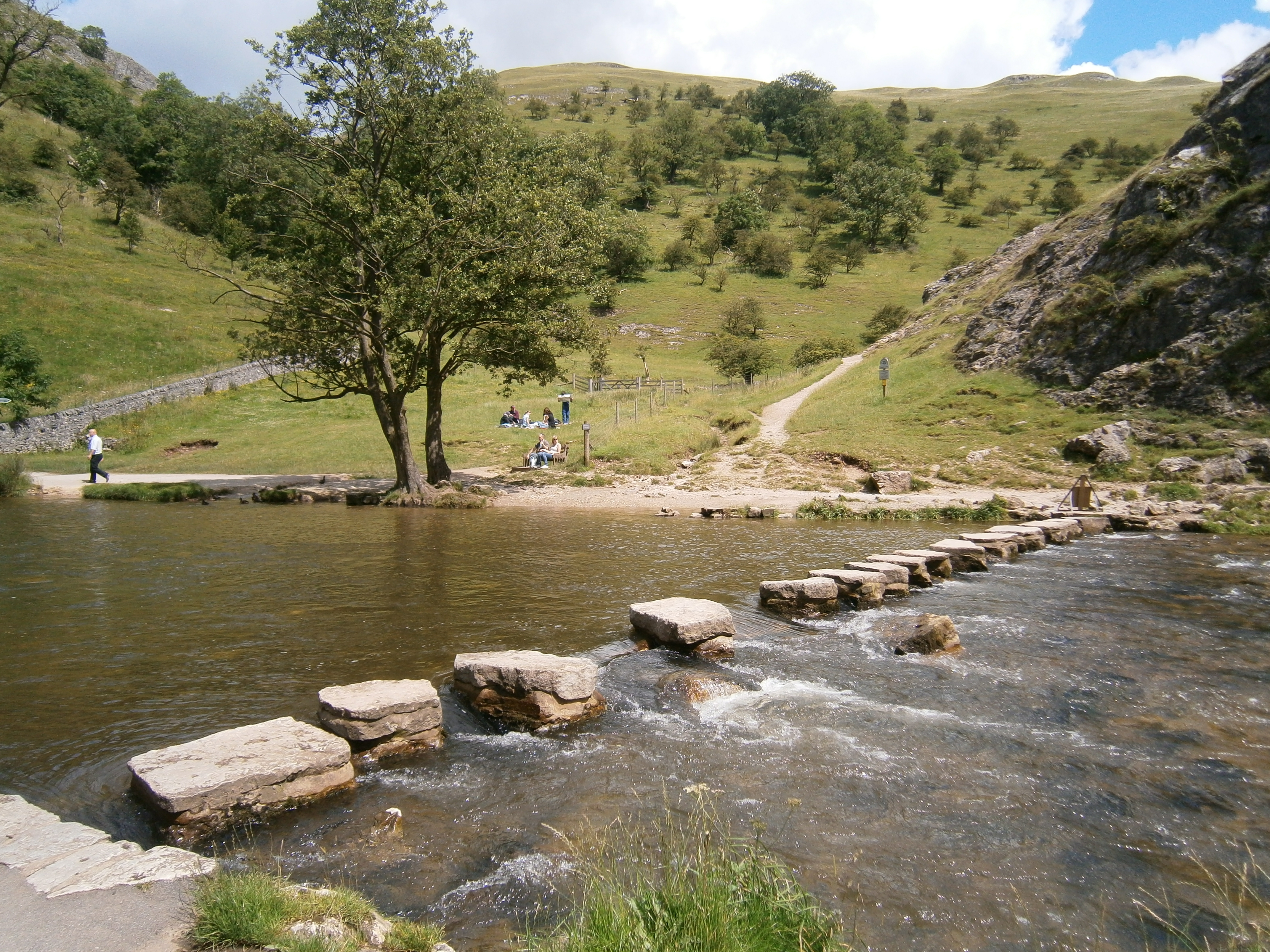
River Dove, central England
The River Dove ( DUV, traditionally DOHV) is the principal river of the southwestern Peak District, in the Midlands of England and is around 45 miles...
Nearby Amenities
Located within 500m of 52.821171,-1.6010511Have you been to Bladon Hill?
Leave your review of Bladon Hill below (or comments, questions and feedback).