Hill of Maraness
Hill, Mountain in Shetland
Scotland
Hill of Maraness

Hill of Maraness, located in the Shetland Islands, is a prominent hill that offers breathtaking views of the surrounding landscape. Rising to an elevation of approximately 284 meters (932 feet), it is considered one of the higher peaks in the region. Situated in the northeastern part of the Shetland Mainland, the hill is a prominent feature of the local topography.
The Hill of Maraness boasts a distinctive shape, with a gently sloping ascent leading to a rounded summit. Its grassy slopes are interspersed with scattered rocky outcrops, adding to its allure. The hill is clothed in heather, providing a vibrant purple hue during the summer months. This colorful display attracts hikers and nature enthusiasts from near and far.
Reaching the summit of Hill of Maraness rewards visitors with panoramic views that stretch across the surrounding countryside and out towards the North Sea. On a clear day, the view encompasses the rolling green fields, picturesque coastal cliffs, and the vast expanse of the ocean. It is a sight that captivates the imagination and leaves a lasting impression on all who visit.
The hill is accessible via a network of well-marked trails, making it a popular destination for walkers and hikers of all levels of experience. The surrounding area is rich in wildlife, with various bird species and small mammals making their homes in the heather-covered slopes.
Hill of Maraness offers a serene and tranquil escape from the hustle and bustle of everyday life, making it a must-visit destination for those seeking natural beauty and a sense of adventure in the Shetland Islands.
If you have any feedback on the listing, please let us know in the comments section below.
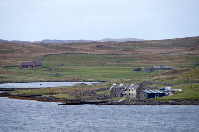
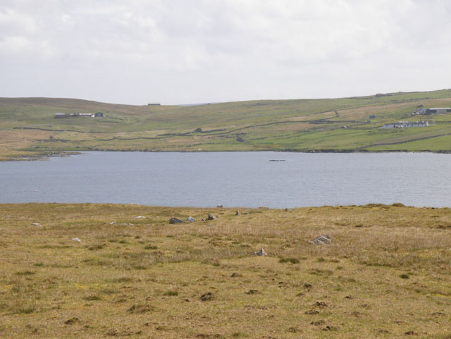
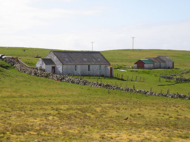
Hill of Maraness Images
Images are sourced within 2km of 60.22653/-1.5243495 or Grid Reference HU2649. Thanks to Geograph Open Source API. All images are credited.


Hill of Maraness is located at Grid Ref: HU2649 (Lat: 60.22653, Lng: -1.5243495)
Unitary Authority: Shetland Islands
Police Authority: Highlands and Islands
What 3 Words
///version.bulky.dressing. Near Walls, Shetland Islands
Nearby Locations
Related Wikis
Browland
Browland is a village on Mainland in Shetland, Scotland situated about 1.9 miles (3 km) east north east of Walls. Browland is within the parish of Sandsting...
Gruting
Gruting is a hamlet on the island of Mainland, Shetland in Scotland. It is about 1 kilometre (0.62 mi) southwest of the archaeological site of Stanydale...

Walls, Shetland
Walls, known locally as Waas (Old Norse: Vagar = "Sheltered Bays" (voes) - the Ordnance Survey added the "ll" as they thought it was a corruption of "walls...

Stanydale Temple
Stanydale Temple is a Neolithic site on Mainland, Shetland, Scotland. It is located in a field to the south of the modern village of Stanydale, roughly...
Related Videos

WALLS,SHETLAND-2017
Walls #Shetland #Travel Traveling Shetland Walls, known locally as Waas, (Old Norse: Vagar = "Sheltered Bays" (voes) - the ...
Nearby Amenities
Located within 500m of 60.22653,-1.5243495Have you been to Hill of Maraness?
Leave your review of Hill of Maraness below (or comments, questions and feedback).