Bee Hill
Hill, Mountain in Derbyshire Derbyshire Dales
England
Bee Hill

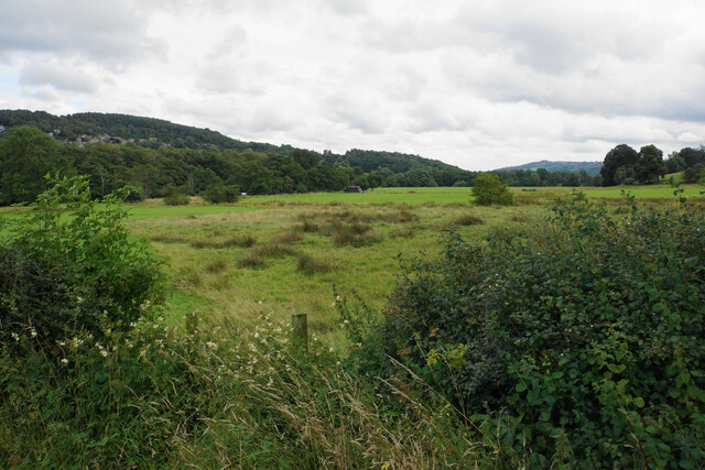
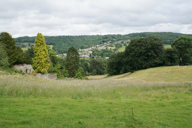
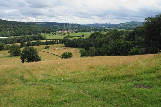
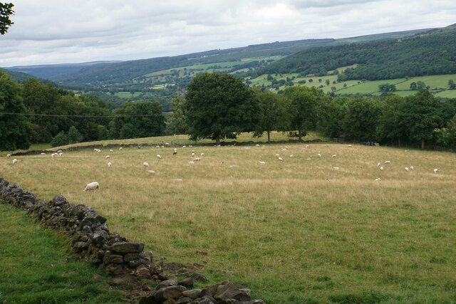
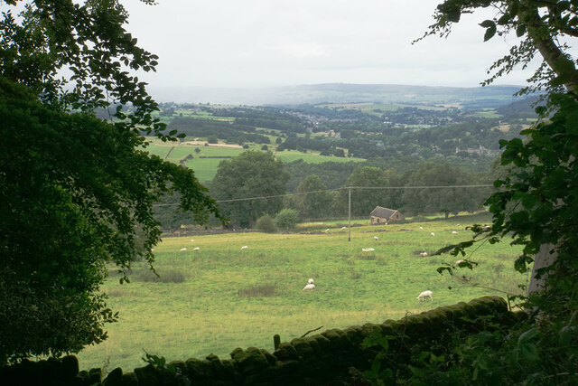
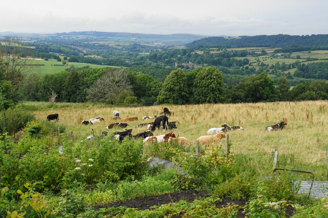
Bee Hill is a prominent hill located in Derbyshire, England. Situated in the southern part of the county, it is part of the Peak District National Park, a renowned area of natural beauty. Rising to an elevation of approximately 410 meters (1,345 feet), Bee Hill offers stunning panoramic views of the surrounding landscape.
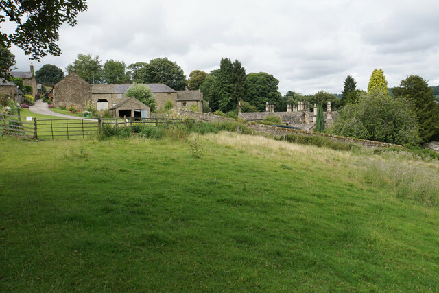
Covered in lush greenery, the hill is characterized by its rolling slopes and rocky outcrops. The terrain is predominantly composed of gritstone, which gives the hill its distinct appearance. Visitors to Bee Hill can expect to encounter a diverse range of flora and fauna, as the area supports a variety of plant and animal species.
The hill is a popular destination for hikers and outdoor enthusiasts, with several footpaths and trails leading to its summit. These routes provide a challenging but rewarding experience for those seeking to explore the natural wonders of Derbyshire. On clear days, the views from the top of Bee Hill are truly breathtaking, with vast stretches of countryside stretching out in all directions.
Bee Hill is also steeped in history, with evidence of human activity dating back thousands of years. The hill is home to several ancient burial mounds, known as barrows, which serve as a testament to the area's rich and fascinating past.
In conclusion, Bee Hill is a captivating natural landmark in Derbyshire, offering a mix of stunning scenery, recreational opportunities, and historical significance. Whether it be for its picturesque views, challenging hikes, or archaeological intrigue, Bee Hill is a must-visit destination for nature lovers and history enthusiasts alike.
If you have any feedback on the listing, please let us know in the comments section below.
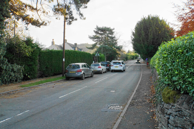
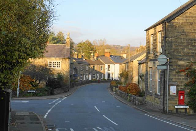
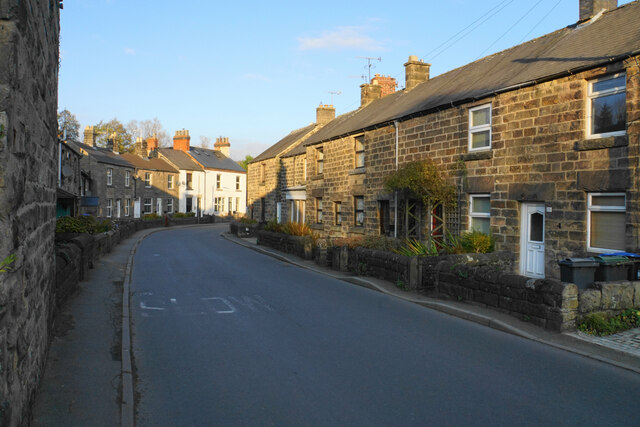
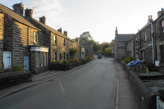
Bee Hill Images
Images are sourced within 2km of 53.164159/-1.6186705 or Grid Reference SK2563. Thanks to Geograph Open Source API. All images are credited.


Bee Hill is located at Grid Ref: SK2563 (Lat: 53.164159, Lng: -1.6186705)
Administrative County: Derbyshire
District: Derbyshire Dales
Police Authority: Derbyshire
What 3 Words
///compelled.steer.transmit. Near Youlgreave, Derbyshire
Nearby Locations
Related Wikis

Stanton Moor
Stanton Moor is a small upland area in the Derbyshire Peak District of central northern England, lying between Matlock and Bakewell near the villages of...

Nine Ladies
The Nine Ladies is a stone circle located on Stanton Moor in Derbyshire in the English East Midlands. The Nine Ladies is part of a tradition of stone circle...

St Helen's Church, Darley Dale
St Helen's Church, Darley Dale is a Grade II* listed parish church in the Church of England in Darley Dale, Derbyshire. == History == The church has elements...

Old Millclose Mine
Old Millclose Mine was a lead mine near Wensley, in Derbyshire, England. The engine house of the mine survives as a ruin; it is a scheduled monument....

Parkside railway station (Derbyshire)
Parkside railway station was the only station on the Derbyshire Dales Narrow Gauge Railway. Derbyshire Dales Narrow Gauge Railway was a short narrow-gauge...
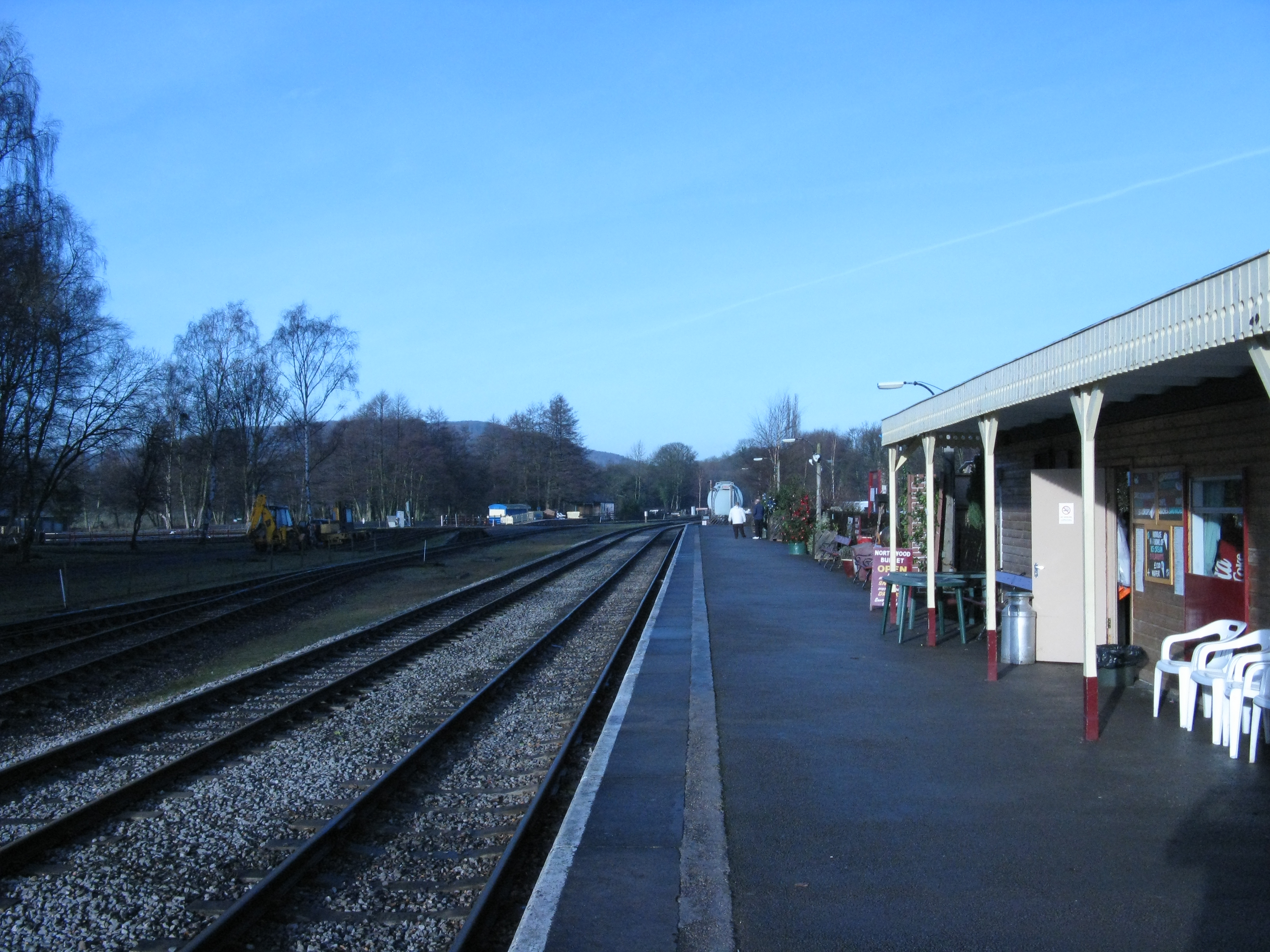
Rowsley South railway station
Rowsley South railway station lies approximately a mile short of Rowsley village, the location of the settlement's previous stations. Rowsley South was...
Derbyshire Dales Narrow Gauge Railway
The Derbyshire Dales Narrow Gauge Railway (DDNGR) was a short, 2 ft (610 mm) narrow-gauge railway located at Rowsley South at Peak Rail. It operated ex...

Stancliffe Hall
Stancliffe Hall is a grade II Listed building on Whitworth Road in the settlement of Darley Dale, near Matlock, Derbyshire. == Early history == In 1817...
Nearby Amenities
Located within 500m of 53.164159,-1.6186705Have you been to Bee Hill?
Leave your review of Bee Hill below (or comments, questions and feedback).