Ward's Hill
Hill, Mountain in Warwickshire Stratford-on-Avon
England
Ward's Hill

Ward's Hill, located in Warwickshire, England, is a prominent hill that stands at an elevation of 226 meters (741 feet) above sea level. It is situated near the village of Ilmington, approximately 10 kilometers (6 miles) south of Stratford-upon-Avon. The hill is part of the Cotswolds Area of Outstanding Natural Beauty, renowned for its picturesque landscapes.
Ward's Hill features a relatively gentle incline, making it a popular destination for hikers and nature enthusiasts. The hill is predominantly covered by grassland, interspersed with patches of woodland, providing a diverse habitat for various flora and fauna. From the summit, visitors are treated to panoramic views of the surrounding countryside, including the rolling hills of the Cotswolds and the Warwickshire countryside.
Due to its historical significance, Ward's Hill has also attracted archaeological interest. In the vicinity of the hill, several Bronze Age barrows, or burial mounds, have been discovered, suggesting human activity in the area dating back thousands of years.
Access to Ward's Hill is available through public footpaths and bridleways, allowing visitors to explore the hill's natural beauty and enjoy the tranquil surroundings. The hill provides an ideal setting for outdoor activities such as walking, picnicking, and birdwatching. It is a cherished destination for locals and tourists alike, offering a peaceful retreat from the hustle and bustle of everyday life.
If you have any feedback on the listing, please let us know in the comments section below.
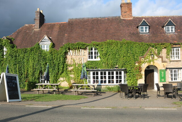
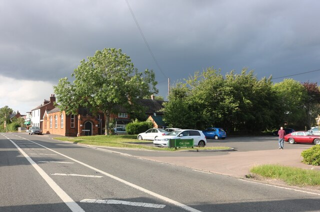
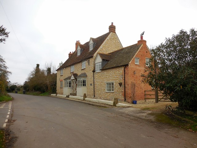
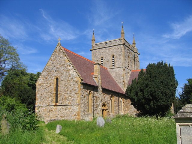
Ward's Hill Images
Images are sourced within 2km of 52.128807/-1.6380538 or Grid Reference SP2447. Thanks to Geograph Open Source API. All images are credited.


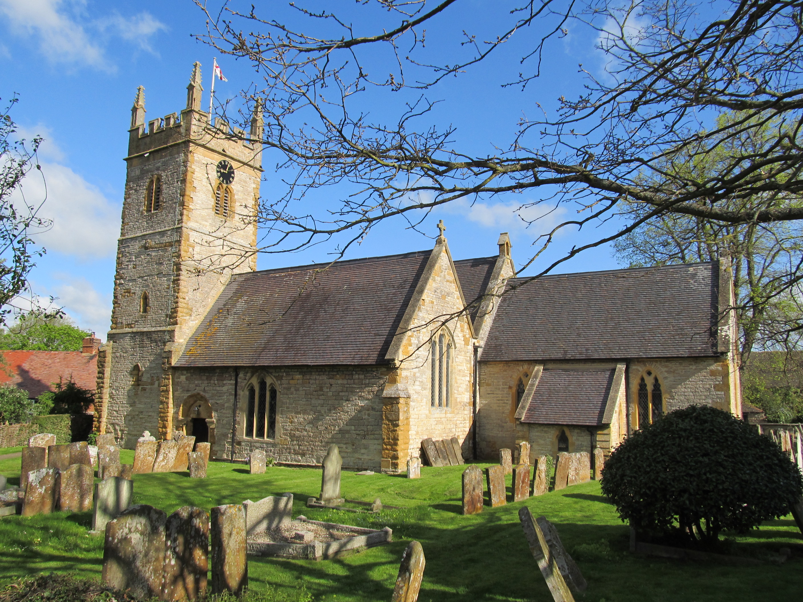
![Pivot benchmark on Newbold Church This rare example of a nineteenth-century pivot benchmark was established between 1850 and 1856 during the First primary levelling of England & Wales, and was levelled with a height of 210.6860 feet [64.2171 metres] above mean sea level (Liverpool datum). It was included on the Basingstoke to Coventry levelling line. The surveyor's description was No. 172. "Mark on buttress at S.E. corner of Newbold Church, Newbold Village ; 0.88 ft. above surface" (Public Abstract p.239).](https://s0.geograph.org.uk/geophotos/04/60/49/4604952_f1c9fc20.jpg)


Ward's Hill is located at Grid Ref: SP2447 (Lat: 52.128807, Lng: -1.6380538)
Administrative County: Warwickshire
District: Stratford-on-Avon
Police Authority: Warwickshire
What 3 Words
///scores.writing.outs. Near Eattington, Warwickshire
Nearby Locations
Related Wikis

Ettington Park Hotel
Ettington Park, Ettington, Warwickshire, England is a 19th-century country house with earlier origins. The historic home of the Shirley family, whose ownership...
Alderminster
Alderminster is a village and civil parish on the River Stour about 4 miles (6.4 km) south of Stratford-upon-Avon in Warwickshire, England. The village...

Newbold on Stour
Newbold on Stour is a village in Warwickshire about 6 miles (10 km) south of Stratford upon Avon. Population details are included within Tredington. The...

Ettington
Ettington is a village and civil parish about 5.5 miles (9 km) south-east of Stratford-upon-Avon in Warwickshire, England. The 2011 Census recorded the...
Halford, Warwickshire
Halford is a village and civil parish about 3 miles (5 km) north of Shipston-on-Stour in Warwickshire, England. The village is where the Fosse Way Roman...

Ettington railway station
Ettington railway station was a railway station that served the village of Ettington in Warwickshire, England. == History == Opened on 1 July 1873 the...
Armscote
Armscote is a small village, some three miles north of Shipston-on-Stour in Warwickshire, England. It is located a mile off the A429 road which is the...
Whitchurch, Warwickshire
Whitchurch is a parish and a small hamlet lying on the left bank of the River Stour in Warwickshire, England, some four miles south-south-east of the town...
Nearby Amenities
Located within 500m of 52.128807,-1.6380538Have you been to Ward's Hill?
Leave your review of Ward's Hill below (or comments, questions and feedback).