Risbury Hill
Hill, Mountain in Wiltshire
England
Risbury Hill
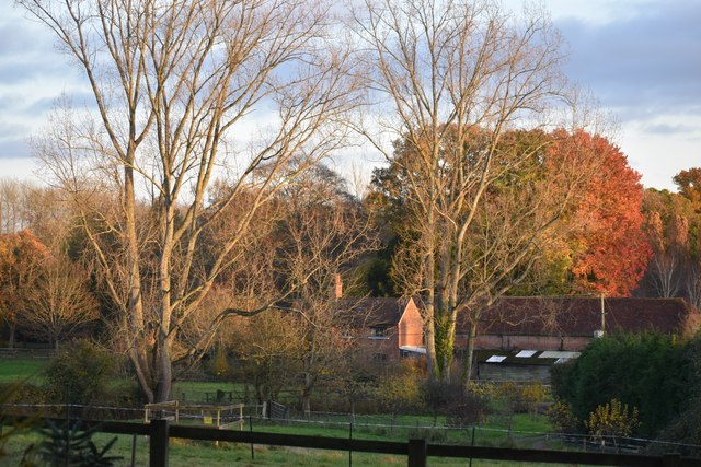
Risbury Hill is a prominent landmark located in the county of Wiltshire, England. Rising to an elevation of 197 meters (646 feet), it is classified as a hill rather than a mountain. Situated near the village of Risbury, the hill offers stunning panoramic views of the surrounding countryside.
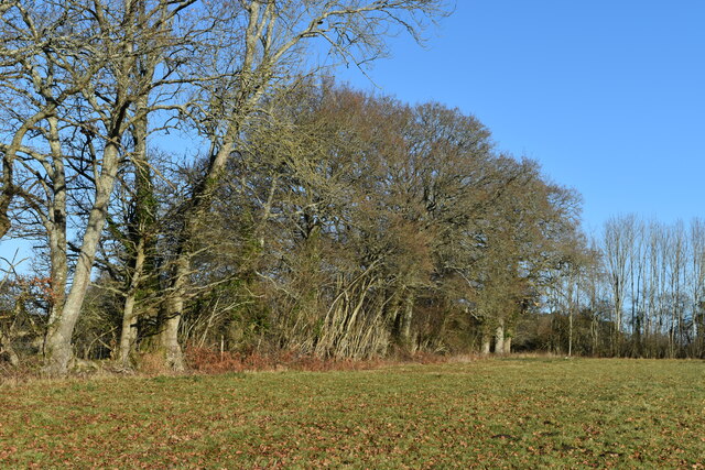
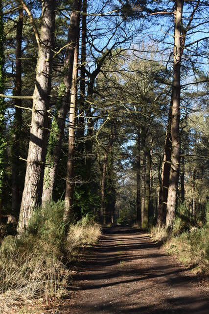
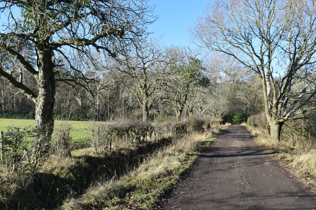
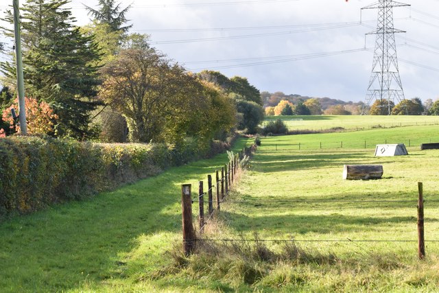
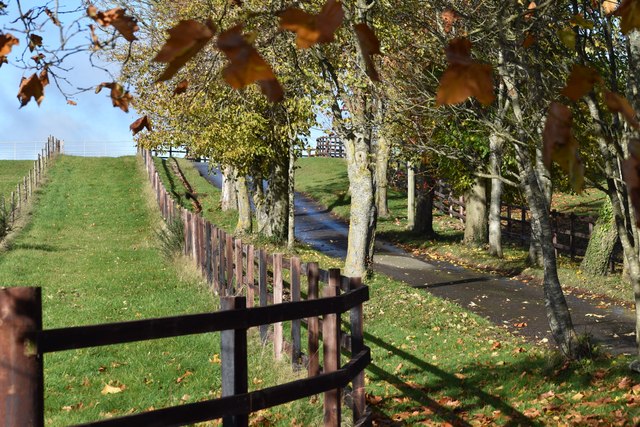
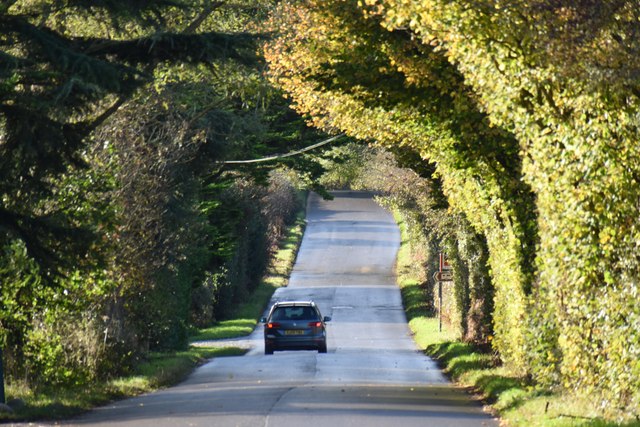
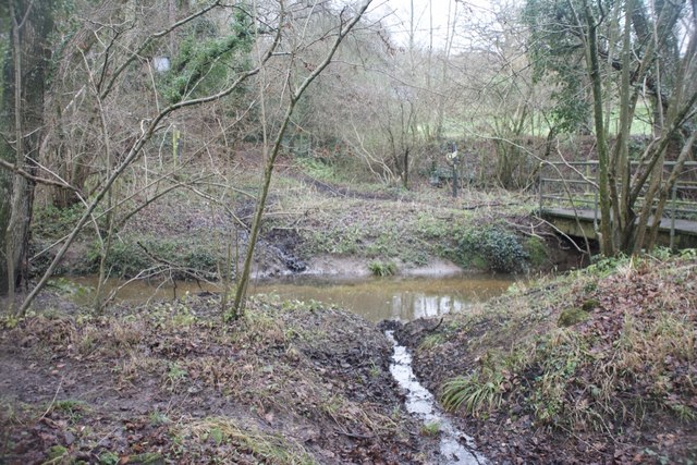
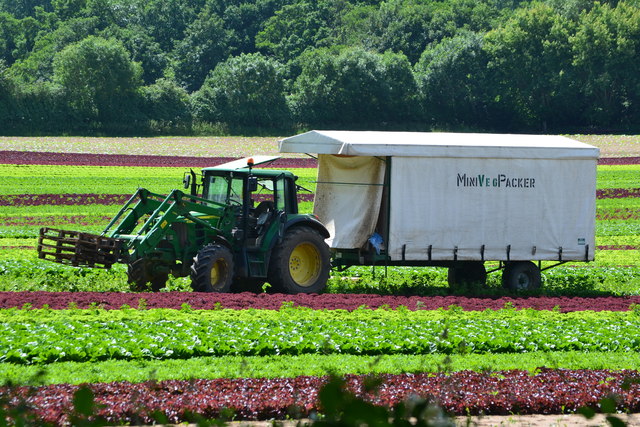
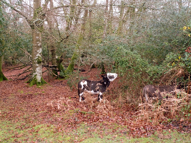
Characterized by its gentle slopes and expansive grassy areas, Risbury Hill is a popular site for outdoor activities such as hiking and picnicking. The hill is easily accessible via footpaths and trails, providing visitors with the opportunity to explore its diverse flora and fauna. The surrounding countryside is rich in wildlife, including various bird species and small mammals, making it a haven for nature enthusiasts.
At the summit of Risbury Hill, there is a trig point, which serves as a marker for surveying purposes. This feature adds to the hill's appeal for hillwalkers and geocaching enthusiasts. Additionally, the hill is home to a few ancient burial mounds, providing a glimpse into its historical significance.
Risbury Hill holds historical significance as it is believed to have been an important vantage point during ancient times. Its strategic location allowed for surveillance of the surrounding areas, making it a valuable asset in military operations. Today, the hill's historical importance is preserved through its inclusion in local heritage trails and the efforts of conservation organizations.
Overall, Risbury Hill in Wiltshire is a picturesque and historically significant landmark, offering visitors the opportunity to immerse themselves in the natural beauty and rich heritage of the region.
If you have any feedback on the listing, please let us know in the comments section below.
Risbury Hill Images
Images are sourced within 2km of 50.963322/-1.6479469 or Grid Reference SU2418. Thanks to Geograph Open Source API. All images are credited.


Risbury Hill is located at Grid Ref: SU2418 (Lat: 50.963322, Lng: -1.6479469)
Unitary Authority: Wiltshire
Police Authority: Wiltshire
What 3 Words
///indicates.seatbelt.torn. Near West Wellow, Hampshire
Related Wikis

Landford
Landford is a village and civil parish 10 miles (16 km) southeast of Salisbury in Wiltshire, England. To the south and east of the parish is the county...

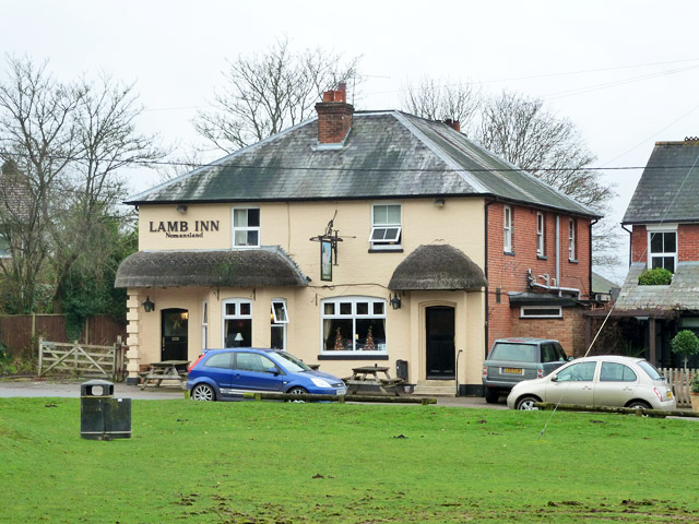
Nomansland, Wiltshire
Nomansland is a small village in Wiltshire, England, close to the county border with Hampshire. It is part of the parish of Landford and lies about 3.5...

Landford Bog
Landford Bog (grid reference SU259185) is an 11.6 hectare biological Site of Special Scientific Interest at Landford in southeast Wiltshire, England. It...
Hamptworth
Hamptworth is a hamlet in Wiltshire, England, in the extreme southeast of the county. It is in the civil parish of Landford, and lies within the boundaries...
Landford Heath
Landford Heath (grid reference SU265178) is an 11.75 hectare biological Site of Special Scientific Interest near Landford in southeast Wiltshire, England...
Landford Manor
Landford Manor is a Grade II* listed house in Stock Lane, Landford, Wiltshire, England. It dates from around 1600, the south wing from around 1680, with...

Langley Wood and Homan's Copse
Langley Wood and Homan's Copse (grid reference SU230206) is a 219.28 hectare biological Site of Special Scientific Interest in Wiltshire, notified in 1985...

Bramshaw
Bramshaw is a small village and civil parish in Hampshire, England. It lies just inside the New Forest. The name Bramshaw means Bramble Wood. Until 1895...
Nearby Amenities
Located within 500m of 50.963322,-1.6479469Have you been to Risbury Hill?
Leave your review of Risbury Hill below (or comments, questions and feedback).