Snow Hill
Hill, Mountain in Warwickshire Warwick
England
Snow Hill
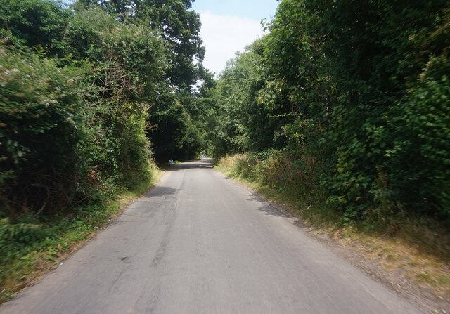
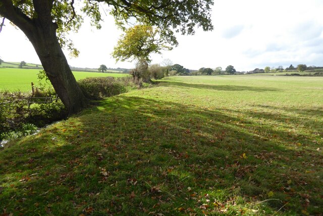
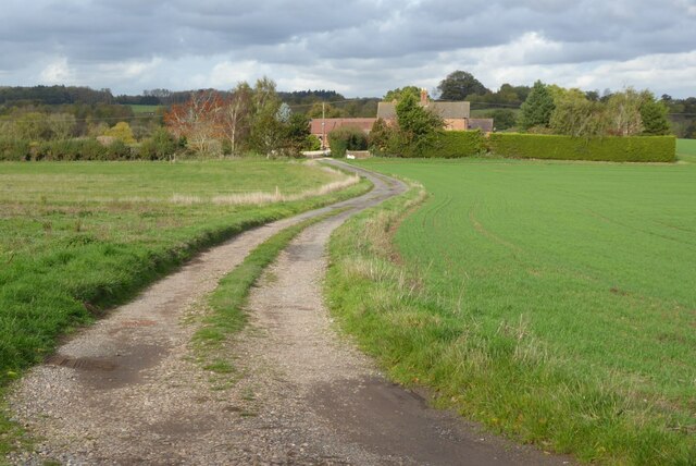
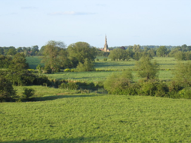
Snow Hill is a prominent landmark located in Warwickshire, England. Despite its name, it is not a hill or mountain but rather a small ridge that lies within the beautiful Snow Hill Country Park. Situated near the village of Alcester, Snow Hill offers stunning panoramic views of the surrounding countryside.
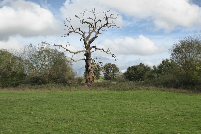
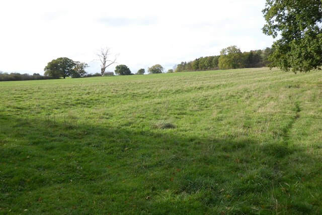
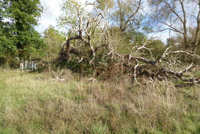
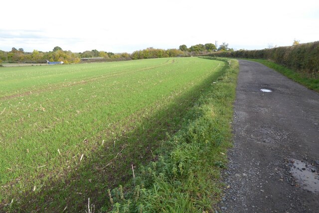
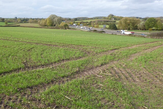
Covered in lush greenery, Snow Hill is a popular destination for outdoor enthusiasts and nature lovers. The area is known for its diverse wildlife, making it an ideal spot for birdwatching, hiking, and photography. The park is home to various species of birds, including woodpeckers, buzzards, and owls, as well as a wide range of flora and fauna.
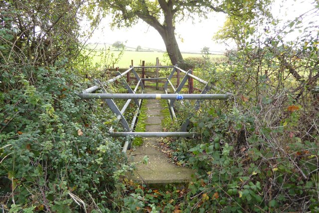
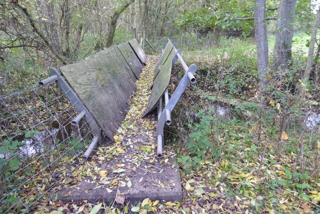
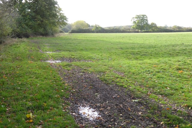
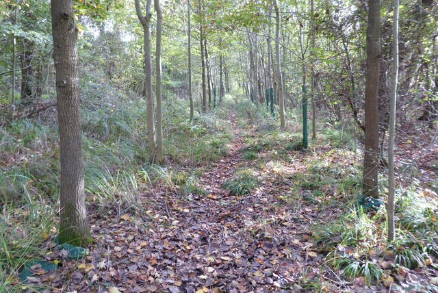
Visitors to Snow Hill can explore the numerous well-maintained walking trails that wind through the park, providing opportunities to immerse themselves in the natural beauty of the area. The trails range in difficulty, catering to both leisurely strolls and more challenging hikes. Along the way, visitors can admire the picturesque views of rolling hills, meandering rivers, and scattered woodlands.
The park also offers picnic areas and benches, allowing visitors to relax and enjoy the peaceful surroundings. In addition, Snow Hill is a popular spot for kite flying and outdoor games, providing entertainment for families and groups.
Overall, Snow Hill in Warwickshire is a haven for those seeking a tranquil escape in nature. Its stunning landscapes, abundant wildlife, and recreational activities make it a must-visit destination for both locals and tourists alike.
If you have any feedback on the listing, please let us know in the comments section below.
Snow Hill Images
Images are sourced within 2km of 52.25463/-1.6387306 or Grid Reference SP2461. Thanks to Geograph Open Source API. All images are credited.


Snow Hill is located at Grid Ref: SP2461 (Lat: 52.25463, Lng: -1.6387306)
Administrative County: Warwickshire
District: Warwick
Police Authority: Warwickshire
What 3 Words
///storm.processor.couches. Near Warwick, Warwickshire
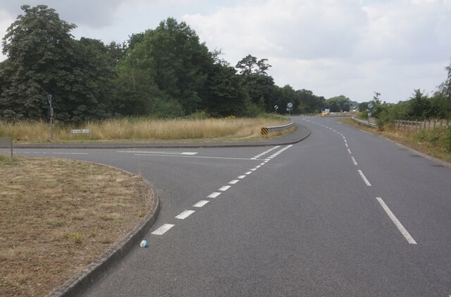
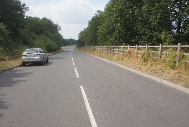
Nearby Locations
Related Wikis

M40 minibus crash
On 18 November 1993, just after midnight, a minibus was involved in a fatal collision with a maintenance vehicle on the M40 motorway near Warwick, England...
Fulbrook, Warwickshire
Fulbrook is a small parish and deserted village in Warwickshire, England, situated about 4 miles (6 km) north-east of Stratford upon Avon. Population details...

Sherbourne, Warwickshire
Sherbourne is a village and civil parish in the Warwick district of Warwickshire, England. The population of the civil parish at the 2011 Census was 174...
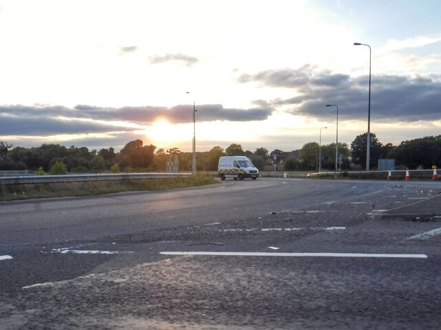
Longbridge Interchange
Longbridge Interchange (also known as Longbridge Island) is a major road and motorway junction between Warwick and Sherbourne, Warwickshire, connecting...
Nearby Amenities
Located within 500m of 52.25463,-1.6387306Have you been to Snow Hill?
Leave your review of Snow Hill below (or comments, questions and feedback).