Barley End
Settlement in Buckinghamshire
England
Barley End
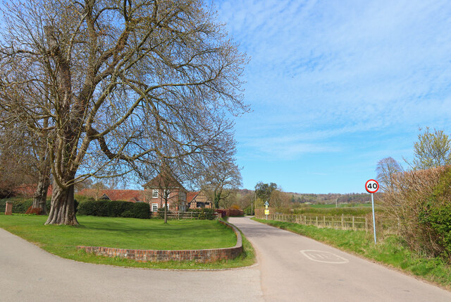
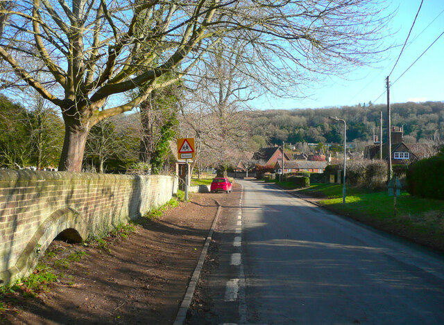
Barley End is a small village located in the county of Buckinghamshire, England. Situated in the Aylesbury Vale district, it is nestled between the towns of Aylesbury and Leighton Buzzard. The village lies approximately 13 miles south of Milton Keynes and 36 miles northwest of London.
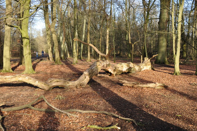
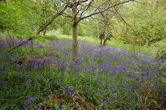
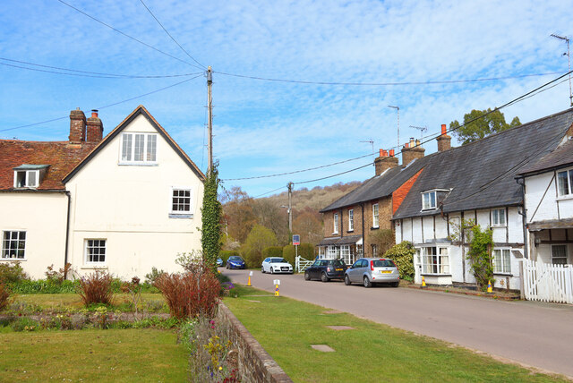
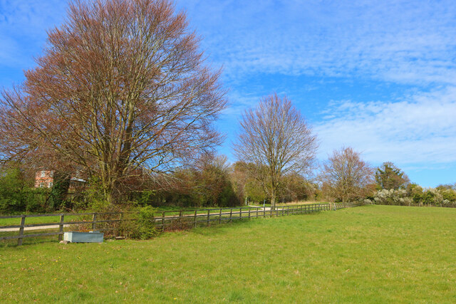
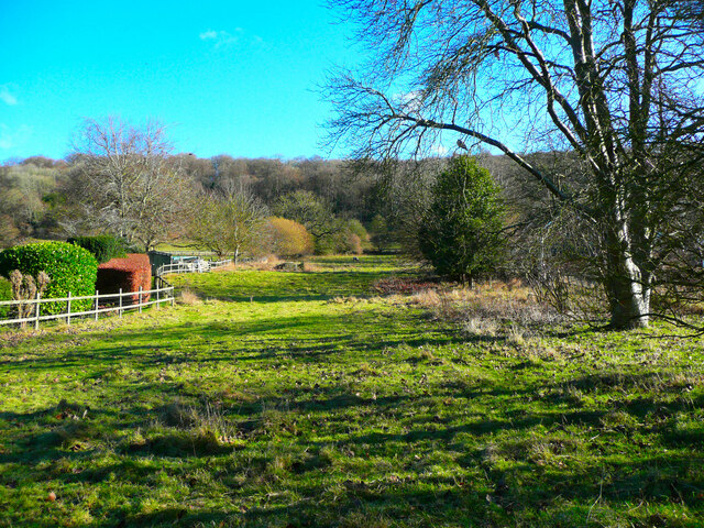
This quaint rural settlement is known for its picturesque countryside, featuring rolling hills, meandering streams, and lush green fields. Barley End is surrounded by a number of charming villages, such as Wingrave, Aston Abbotts, and Cublington.
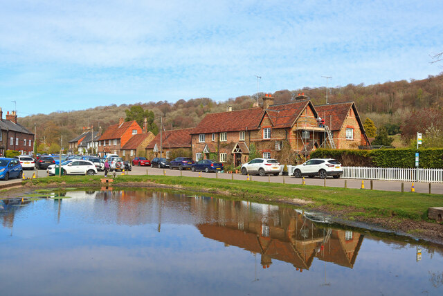
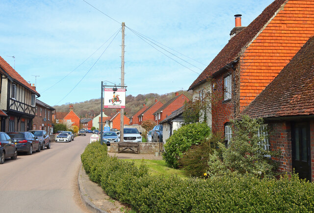
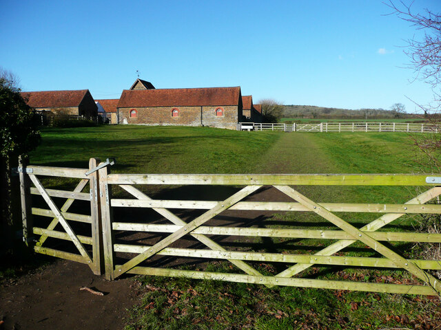
The village itself consists of a cluster of traditional, stone-built cottages and a few modern homes. It has a close-knit community, with a population of around 300 residents. A sense of tranquility envelops the area, making it an ideal place for those seeking a peaceful and idyllic lifestyle.
Despite its small size, Barley End offers essential amenities to its inhabitants. The village boasts a local pub, The Barley Mow, which serves as a social hub for residents and visitors alike. There are also a few small businesses, including a local shop, that cater to the everyday needs of the community.
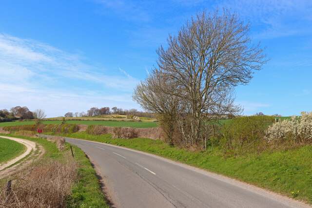
For outdoor enthusiasts, Barley End provides ample opportunities for exploring the surrounding countryside. The village is surrounded by walking trails and bridleways, making it a popular destination for hikers, cyclists, and horse riders.
Overall, Barley End offers a charming and picturesque countryside retreat, with its peaceful atmosphere, beautiful landscapes, and close-knit community.
If you have any feedback on the listing, please let us know in the comments section below.
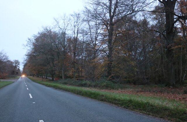
Barley End Images
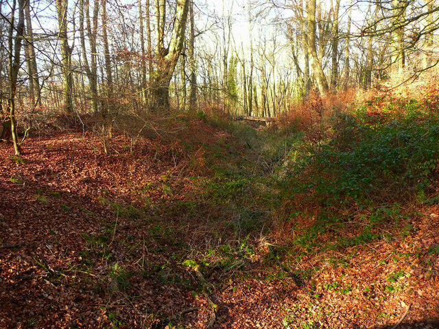
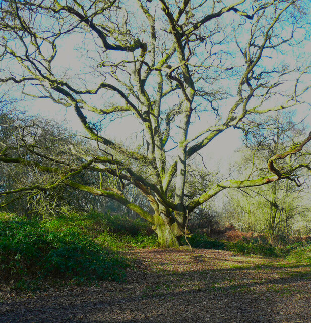
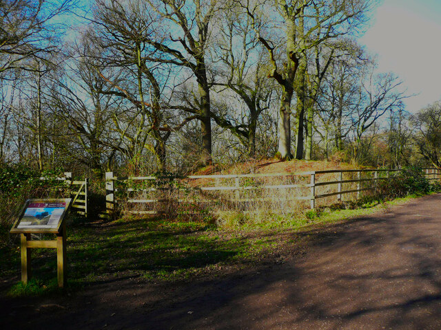
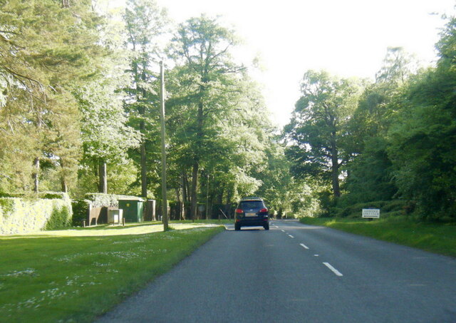
Images are sourced within 2km of 51.816561/-0.60391 or Grid Reference SP9614. Thanks to Geograph Open Source API. All images are credited.

Barley End is located at Grid Ref: SP9614 (Lat: 51.816561, Lng: -0.60391)
Unitary Authority: Buckinghamshire
Police Authority: Thames Valley
What 3 Words
///blissful.darkest.forgiving. Near Ivinghoe, Buckinghamshire
Nearby Locations
Related Wikis

Stocks House
Stocks Manor House is a large Georgian mansion, built in 1773. It is the largest property in the village of Aldbury, Hertfordshire. Stocks House and its...

Barley End
Barley End is a hamlet within the parish of Pitstone(where the 2011 Census population was included) in Buckinghamshire, England.
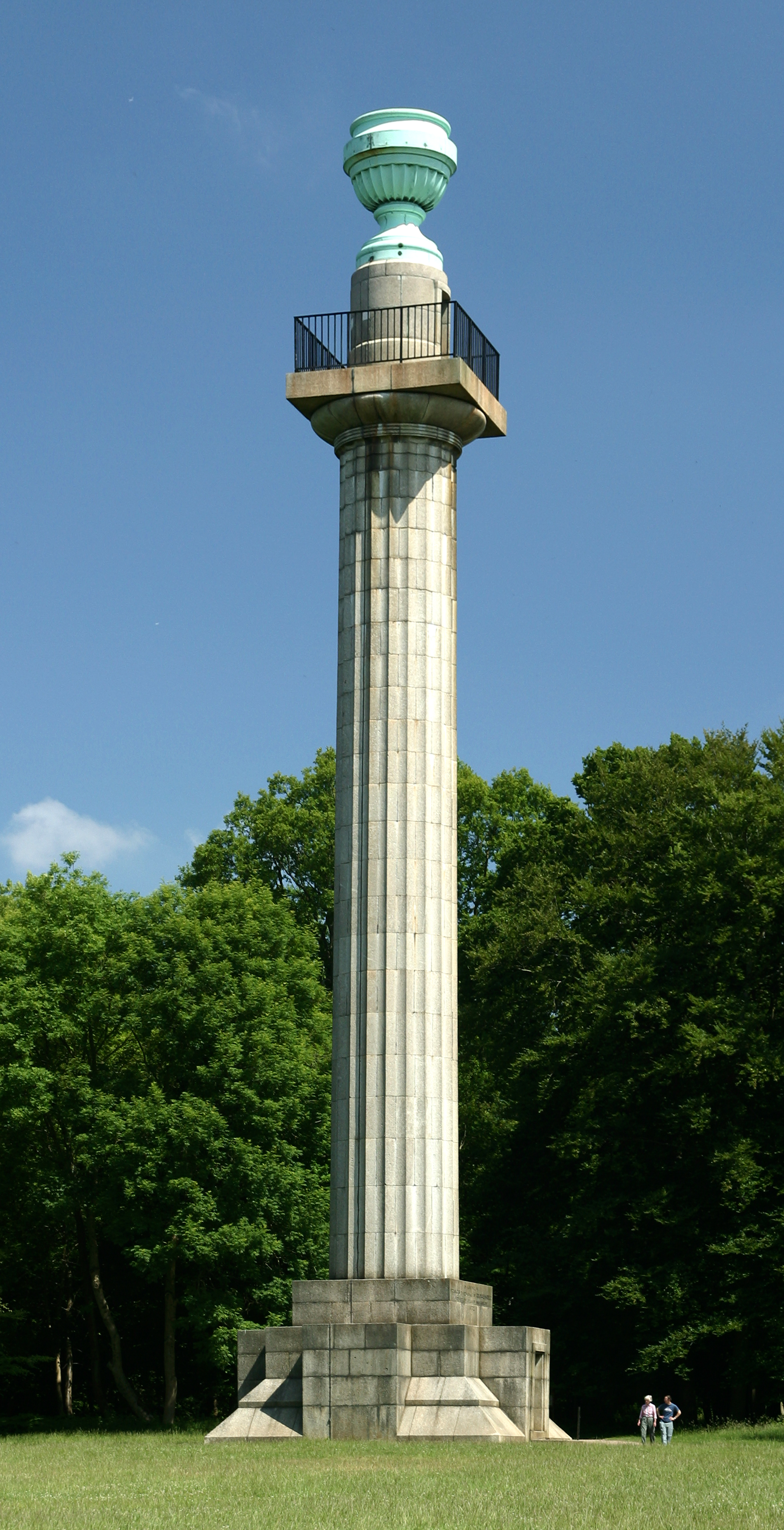
Bridgewater Monument
The Bridgewater Monument is a Grade II* listed monumental column in the Ashridge estate in Hertfordshire, England. It was built in 1832 to commemorate...
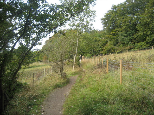
Aldbury Nowers
Aldbury Nowers is a 19.7 hectares (49 acres) biological Site of Special Scientific Interest (SSSI) in the Chiltern Hills, north-east of Tring in Hertfordshire...
Nearby Amenities
Located within 500m of 51.816561,-0.60391Have you been to Barley End?
Leave your review of Barley End below (or comments, questions and feedback).