Bent Hill
Hill, Mountain in Northumberland
England
Bent Hill
Bent Hill, located in Northumberland, is a prominent hill standing at an altitude of approximately 262 meters (860 feet) above sea level. Situated within the picturesque Northumberland National Park, it forms part of the stunning Cheviot Hills range in the border region between England and Scotland. The distinctive shape of Bent Hill, with its gently sloping sides and rounded summit, offers captivating panoramic views of the surrounding countryside.
Covered in lush grass and heather, Bent Hill is a popular attraction for hikers, nature enthusiasts, and photographers alike. The hill is home to a diverse range of flora and fauna, including a variety of bird species, such as the skylark and curlew, which can be spotted in the area.
The ascent to the top of Bent Hill is not particularly challenging, making it accessible to visitors of varying fitness levels. The hill is crisscrossed by several well-marked paths, allowing visitors to explore its natural beauty. On a clear day, the summit rewards hikers with breathtaking vistas of the surrounding landscape, including rolling green hills, tranquil valleys, and distant peaks.
Bent Hill is also steeped in history, with several ancient sites dotting its slopes. The remains of prehistoric settlements and burial mounds can be found, providing a glimpse into the area's rich cultural heritage.
In conclusion, Bent Hill in Northumberland is a captivating natural landmark, offering visitors a chance to immerse themselves in the beauty of the Cheviot Hills and experience the region's fascinating history. Whether it is for outdoor activities or simply enjoying the scenic views, Bent Hill provides a memorable experience for all who venture to its summit.
If you have any feedback on the listing, please let us know in the comments section below.
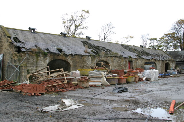
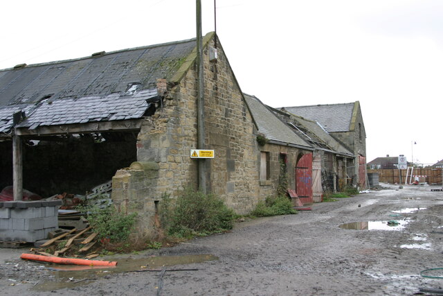
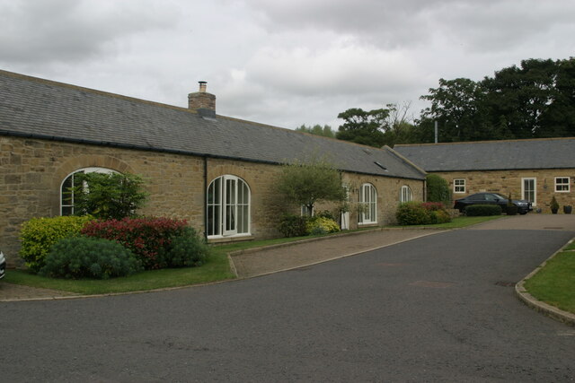
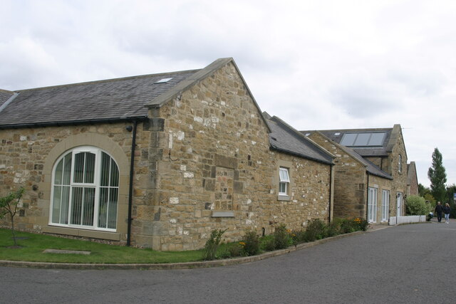
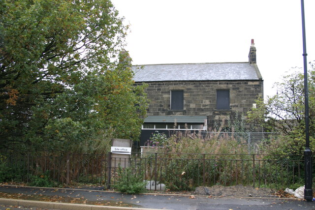
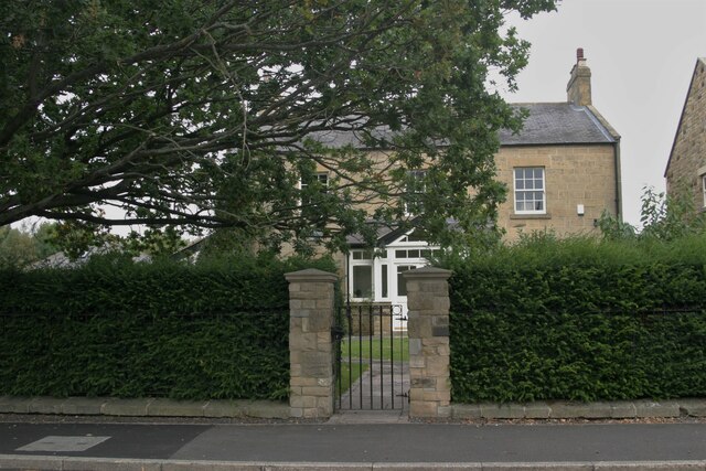
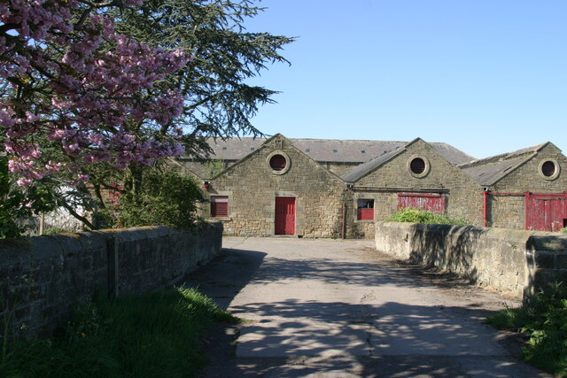
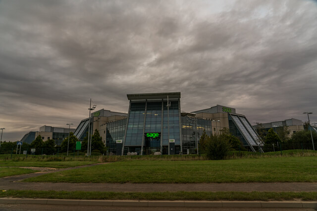
Bent Hill Images
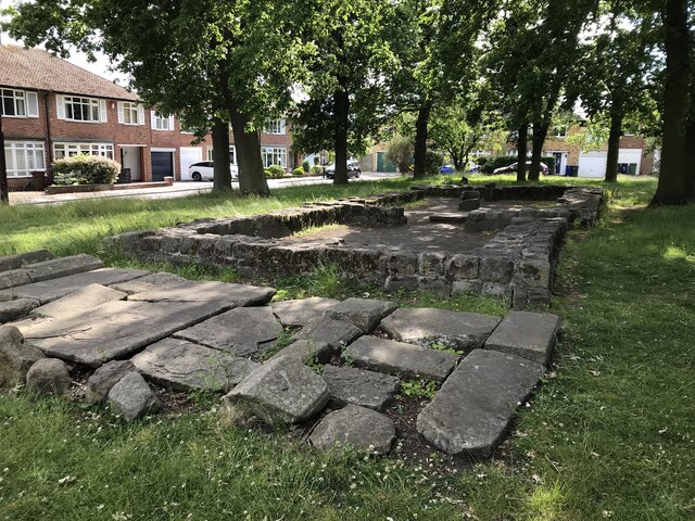
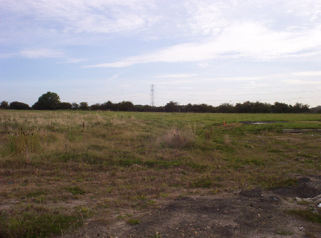
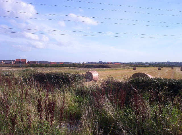
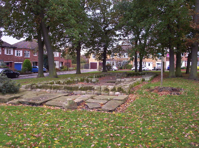
Images are sourced within 2km of 55.020987/-1.6375031 or Grid Reference NZ2369. Thanks to Geograph Open Source API. All images are credited.


Bent Hill is located at Grid Ref: NZ2369 (Lat: 55.020987, Lng: -1.6375031)
Unitary Authority: Newcastle upon Tyne
Police Authority: Northumbria
What 3 Words
///party.ranch.baked. Near Hazlerigg, Tyne & Wear
Nearby Locations
Related Wikis

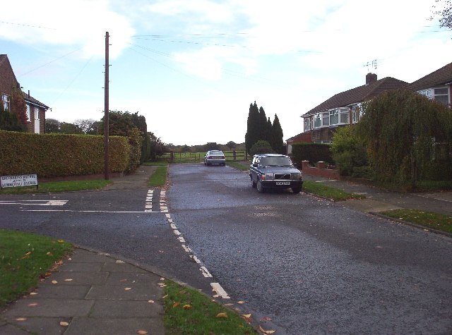
Red House Farm
Red House Farm is a residential area of Newcastle upon Tyne, about 4 miles (6 km) north west of the city centre. It is bordered by Fawdon to the south...
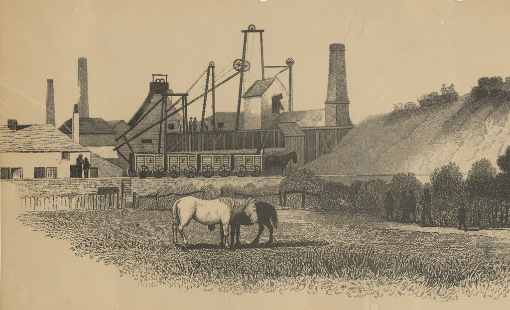
Fawdon Wagonway
The Fawdon Wagonway was from 1818 to 1826 a 1 mile 3 furlongs (2.2 km) long horse-drawn and partially rope-operated industrial railway in Fawdon near Newcastle...
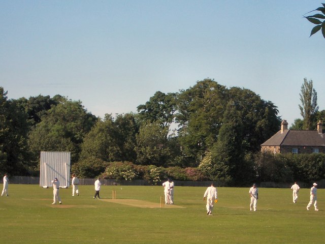
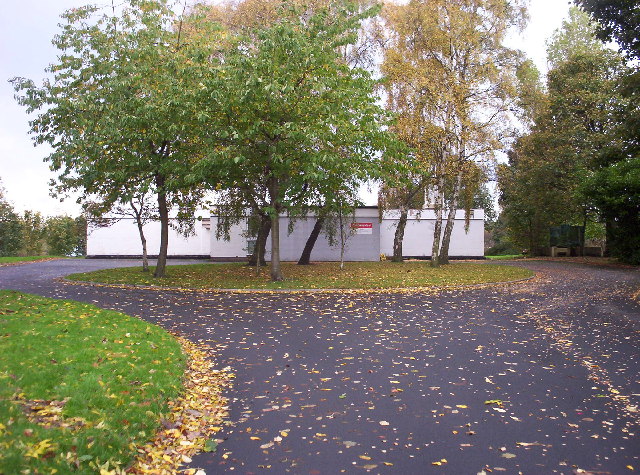
Broadway West Sports Ground
Broadway West Sports Ground is a multi-use sports complex in Gosforth, Newcastle upon Tyne, England. It is located in the Parklands ward. It is home to...

Wansbeck Road Metro station
Wansbeck Road is a Tyne and Wear Metro station, serving the suburbs of Coxlodge and Gosforth, Newcastle upon Tyne in Tyne and Wear, England. It joined...
Nearby Amenities
Located within 500m of 55.020987,-1.6375031Have you been to Bent Hill?
Leave your review of Bent Hill below (or comments, questions and feedback).