Blackcliff Hill

Hill, Mountain in Durham

England

Blackcliff Hill

Path to Stobbilee Farm Footpath leading south from the A691, Durham to Consett road, to Stobbilee Farm at Langley Park.
Path to Stobbilee Farm Credit: Robert Graham

Blackcliff Hill is a prominent geographical feature located in the county of Durham, England. Rising to an elevation of approximately 244 meters (800 feet), it is classified as a hill rather than a mountain. The hill is situated just east of the village of Shotley Bridge and lies within the North Pennines Area of Outstanding Natural Beauty.

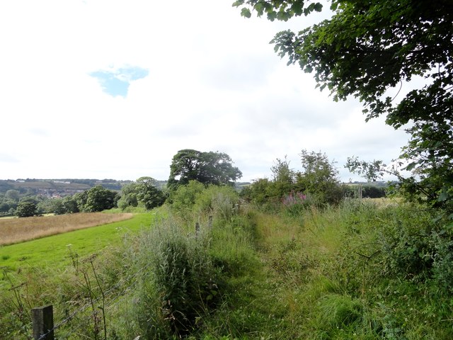
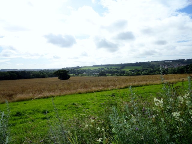
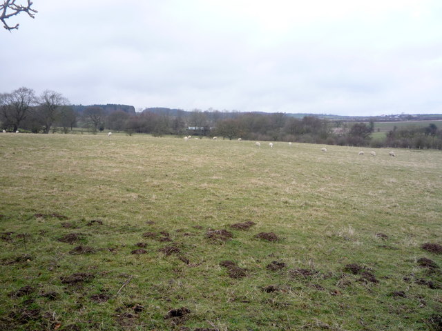
Blackcliff Hill is characterized by its distinctive dark-colored cliffs, from which it derives its name. Composed predominantly of sandstone, the cliffs offer a striking contrast against the lush greenery of the surrounding landscape. The hill is covered in heather, grasses, and scattered shrubs, creating a picturesque scene that attracts nature enthusiasts and hikers.

At the summit of Blackcliff Hill, visitors can enjoy panoramic views across the Durham countryside. On clear days, the vista extends as far as the distant hills of Northumberland. The hill is a popular destination for walkers and provides various footpaths and trails, allowing visitors to explore its natural beauty.

Aside from its scenic appeal, Blackcliff Hill also holds historical significance. It is believed to have been an important site during the Iron Age, with evidence of ancient settlements and fortifications discovered in the vicinity. Archaeological excavations have unearthed artifacts like pottery shards and tools, shedding light on the area's past.

Overall, Blackcliff Hill offers a captivating combination of natural beauty, recreational opportunities, and historical intrigue. It stands as a notable landmark in Durham, attracting both locals and tourists alike.

If you have any feedback on the listing, please let us know in the comments section below.

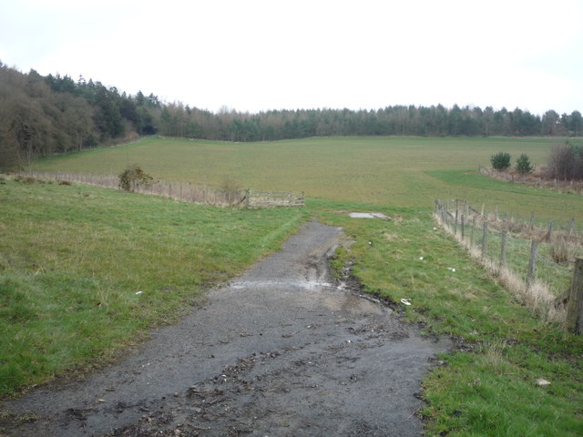
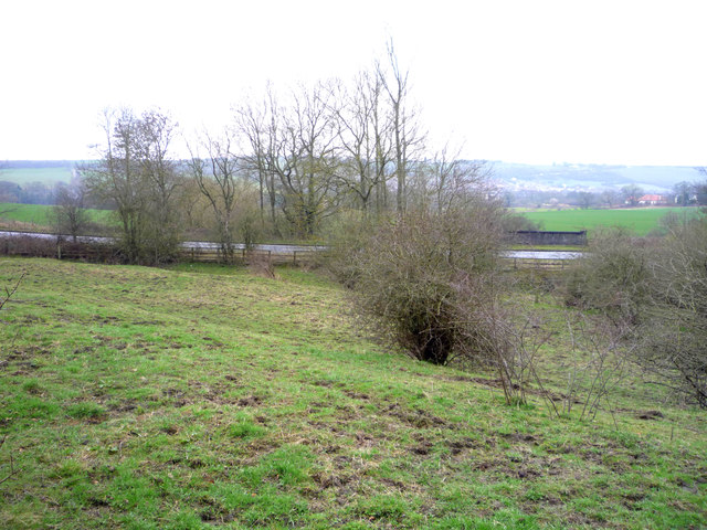
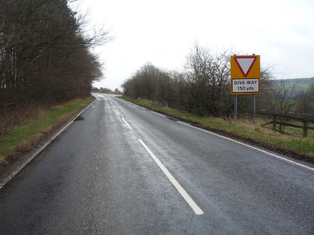
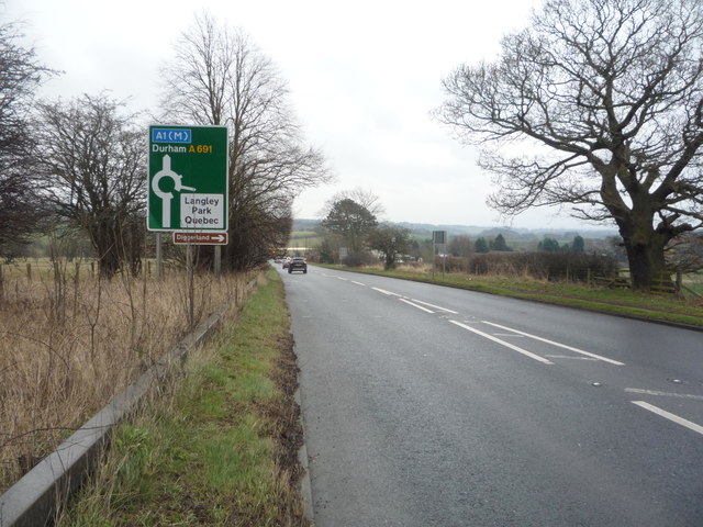
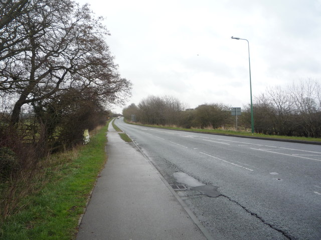
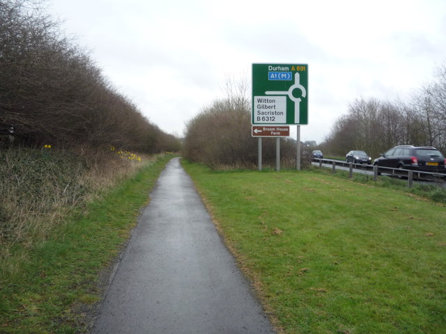
Blackcliff Hill Images

Images are sourced within 2km of 54.804484/-1.6454314 or Grid Reference NZ2245. Thanks to Geograph Open Source API. All images are credited.

Path to Stobbilee Farm Footpath leading south from the A691, Durham to Consett road, to Stobbilee Farm at Langley Park.
Path to Stobbilee Farm
Footpath leading south from the A691, Durham to Consett road, to Stobbilee Farm at Langley Park.
View south from the A691 near Kaysburn View from beside the Durham to Consett road near Stobbilee House. Looking south over Langley Park to the south side of the Browney valley.
View south from the A691 near Kaysburn
View from beside the Durham to Consett road near Stobbilee House. Looking south over Langley Park to the south side of the Browney valley.
Sacriston, a misty Front Street
War memorial at Witton Gilbert The memorial is slightly elevated above the east side of the B6312 at the northern end of the village. 
The houses of Green Lea are seen behind the monument.
Remnants of the first snow of the winter are on the ground.
War memorial at Witton Gilbert
The memorial is slightly elevated above the east side of the B6312 at the northern end of the village. The houses of Green Lea are seen behind the monument. Remnants of the first snow of the winter are on the ground.
Field entrance off Langley Lane
Fly tipped rubbish beside Langley Lane A discarded fridge freezer and some old furniture parts.
Fly tipped rubbish beside Langley Lane
A discarded fridge freezer and some old furniture parts.
Grazing towards Waterfall Wood
Farm track off Langley Lane
Langley Lane  Heading east towards Durham.
Langley Lane
Heading east towards Durham.
Grazing off Langley Lane Looking towards the A691.
Grazing off Langley Lane
Looking towards the A691.
Langley Lane approaching the junction with the A691 Heading east towards Durham.
Langley Lane approaching the junction with the A691
Heading east towards Durham.
A691 towards Durham Heading east.
A691 towards Durham
Heading east.
Grazing north of the A691
Bus stop and shelter on the A691
Bus on the A691, Newlands
Service station on the A691
A691 towards Durham  Heading east.
A691 towards Durham
Heading east.
Path beside the A691 Looking east.
Path beside the A691
Looking east.
Show me another place!

Blackcliff Hill is located at Grid Ref: NZ2245 (Lat: 54.804484, Lng: -1.6454314)

Unitary Authority: County Durham

Police Authority: Durham

What 3 Words

///giggled.amber.collapsed. Near Witton Gilbert, Co. Durham

Nearby Locations

Blackcliff Hill

Related Wikis

Witton Gilbert

Witton Gilbert is a village and civil parish in County Durham, England. == Geography == Witton Gilbert is situated about 3.7 miles (6.0 km) to the north...

Witton Gilbert railway station

Witton Gilbert railway station served the village of Witton Gilbert, County Durham, England from 1862 to 1963 on the Lanchester Valley Line. == History... ==

Wall Nook

Wall Nook is a small village in County Durham, in England. It is situated to the south of Langley Park, to the north west of Durham. Wall Nook is known...

Langley Park, County Durham

Langley Park is a village in County Durham, England. The historic city of Durham lies 4 miles (6.4 km) to the east, and the larger city (and regional capital...

Nearby Amenities

Located within 500m of 54.804484,-1.6454314
Bus Stop
Travellers Rest
Bench: yes
Bin: yes
Bus: yes
Departures Board: timetable
Naptan AtcoCode: 13005087C
Naptan Bearing: E
Naptan CommonName: Travellers Rest
Naptan Indicator: east bound
Naptan Landmark: Landmark not known
Naptan NaptanCode: durdgtgm
Naptan Notes: Front street- Witton Gilbert
Naptan Street: Front Street
Naptan Verified: yes
Public Transport: platform
Shelter: yes
Source: naptan_import; survey
Tactile Paving: no
Lat/Long: 54.8059119/-1.6435733
Bus Stop
Travellers Rest
Bench: yes
Naptan AtcoCode: 13005087G
Naptan Bearing: W
Naptan CommonName: Travellers Rest
Naptan Indicator: west bound
Naptan Landmark: Landmark not known
Naptan NaptanCode: durdgtgp
Naptan Notes: front street- in front of Travellers Rest pub- Witton Gilbert
Naptan Street: Front Street
Naptan Verified: yes
Shelter: yes
Source: naptan_import; survey
Tactile Paving: no
Lat/Long: 54.8056776/-1.6414794
Bus Stop
School
Bench: no
Naptan AtcoCode: 13005088F
Naptan Bearing: SW
Naptan CommonName: School
Naptan Indicator: south west bound
Naptan Landmark: Landmark not known
Naptan NaptanCode: durdgtgw
Naptan Notes: road B6312- in front of Glenville House- Witton Gilbert
Naptan Street: Sacriston Lane
Naptan Verified: no
Shelter: no
Source: naptan_import
Tactile Paving: no
Lat/Long: 54.8060774/-1.6387489
Bus Stop
Glendenning Arms
Bench: yes
Naptan AtcoCode: 13005091G
Naptan Bearing: W
Naptan CommonName: Glendenning Arms
Naptan Indicator: west bound
Naptan Landmark: Outside No 9
Naptan NaptanCode: durdgtjt
Naptan Street: Front Street
Naptan Verified: yes
Shelter: yes
Source: naptan_import; survey
Tactile Paving: no
Lat/Long: 54.8052484/-1.6380025
Crossing
Check Date Crossing: 2020-12-25
Crossing: uncontrolled
Crossing Island: no
Crossing Ref: zebra
Tactile Paving: yes
Lat/Long: 54.8055446/-1.639816
Barrier: stile
Lat/Long: 54.804906/-1.6403925
Crossing
Crossing: unmarked
Tactile Paving: no
Lat/Long: 54.8044154/-1.6405976
Crossing
Bicycle: yes
Crossing: uncontrolled
Crossing Island: no
Tactile Paving: yes
Lat/Long: 54.8056586/-1.6446129
Generator Method: photovoltaic
Generator Orientation: 187
Generator Solar Modules: 16
Generator Source: solar
Generator Type: solar_photovoltaic_panel
Power: generator
Lat/Long: 54.8058407/-1.641799
Generator Method: photovoltaic
Generator Orientation: 170
Generator Solar Modules: 16
Generator Source: solar
Generator Type: solar_photovoltaic_panel
Power: generator
Lat/Long: 54.8057905/-1.6407744
Power: pole
Lat/Long: 54.8034329/-1.6507562
Power: pole
Lat/Long: 54.8033054/-1.6496202
Power: pole
Lat/Long: 54.8031632/-1.6488464
Power: pole
Lat/Long: 54.8029668/-1.6477856
Power: pole
Lat/Long: 54.8024845/-1.6467758
Power: pole
Lat/Long: 54.8021049/-1.6459845
Power: pole
Lat/Long: 54.8016991/-1.6451302
Power: pole
Lat/Long: 54.8011966/-1.6440667
Power: pole
Lat/Long: 54.8006895/-1.6431454
Power: pole
Lat/Long: 54.8086742/-1.6441539
Power: pole
Lat/Long: 54.8083257/-1.6456841
Power: pole
Lat/Long: 54.8080011/-1.6470279
Power: pole
Lat/Long: 54.8079392/-1.6485058
Power: pole
Lat/Long: 54.8078704/-1.6498885
Addr City: Durham
Addr Housenumber: 1
Addr Postcode: DH7 6TZ
Addr Street: Sacriston Lane
Addr Village: Witton Gilbert
Lat/Long: 54.8064173/-1.6393259
Barrier: stile
Lat/Long: 54.8064618/-1.6411364
Witton Farm S/S
Note: "Fulforth SW." to North
Power: pole
Lat/Long: 54.8064738/-1.641245
Addr Housename: Wittonstall
Addr Street: Front Street
Lat/Long: 54.8060432/-1.6416527
Addr Housename: Pengrail
Addr Street: Front Street
Lat/Long: 54.8062519/-1.6413845
Waste Basket
Lat/Long: 54.8056715/-1.6414583
Addr City: Durham
Addr Housenumber: 27
Addr Postcode: DH7 6TQ
Addr Street: Front Street
Addr Village: Witton Gilbert
Lat/Long: 54.8056977/-1.6420148
Addr City: Durham
Addr Housenumber: 28
Addr Postcode: DH7 6TQ
Addr Street: Front Street
Addr Village: Witton Gilbert
Lat/Long: 54.8057016/-1.6421328
Addr City: Durham
Addr Housename: Divine Cottage
Addr Housenumber: 29
Addr Postcode: DH7 6TQ
Addr Street: Front Street
Addr Village: Witton Gilbert
Lat/Long: 54.8057039/-1.6422415
Barrier: stile
Material: wood
Lat/Long: 54.8046309/-1.640448
Addr City: Durham
Addr Housenumber: 16
Addr Postcode: DH7 6SY
Addr Street: Front Street
Addr Village: Witton Gilbert
Lat/Long: 54.8055176/-1.6401024
Addr City: Durham
Addr Housenumber: 15
Addr Postcode: DH7 6SY
Addr Street: Front Street
Addr Village: Witton Gilbert
Lat/Long: 54.8055091/-1.6399898
Addr City: Durham
Addr Housenumber: 13
Addr Postcode: DH7 6SY
Addr Street: Front Street
Addr Village: Witton Gilbert
Lat/Long: 54.8054643/-1.6397792
Addr Housename: Meadow House
Addr Street: Best's Yard
Lat/Long: 54.8052162/-1.6397323
The data included in this document is from www.openstreetmap.org. The data is made available under ODbL.

Have you been to Blackcliff Hill?

Leave your review of Blackcliff Hill below (or comments, questions and feedback).