Hogs Hill
Hill, Mountain in Staffordshire Lichfield
England
Hogs Hill

Hogs Hill is a prominent hill located in Staffordshire, England. Standing at an elevation of approximately 190 meters (623 feet), it is situated near the village of Hammerwich, just northwest of the city of Lichfield.
The hill is known for its picturesque surroundings and offers breathtaking panoramic views of the surrounding countryside. Covered in lush greenery, Hogs Hill is a popular destination for hikers, nature enthusiasts, and photographers.
The hill is characterized by its gentle slopes and is relatively easy to climb, making it accessible to visitors of all ages and fitness levels. At the summit, visitors are rewarded with stunning vistas of the Staffordshire landscape, including the nearby Cannock Chase, which is an Area of Outstanding Natural Beauty.
Hogs Hill is also home to a diverse range of flora and fauna. The hill's slopes are covered in a variety of plant species, including heather, gorse, and wildflowers, providing a habitat for numerous insects and small animals. Birdwatchers can often spot species such as kestrels, buzzards, and various songbirds in the area.
The hill has historical significance as well, with evidence of Iron Age and Roman settlements in the surrounding area. It is believed that Hogs Hill played a role in the local iron industry during the 19th century, with iron mines and quarries operating nearby.
Overall, Hogs Hill in Staffordshire is a captivating natural landmark, offering visitors the opportunity to immerse themselves in the beauty of the English countryside while enjoying stunning views and a peaceful atmosphere.
If you have any feedback on the listing, please let us know in the comments section below.
Hogs Hill Images
Images are sourced within 2km of 52.678644/-1.6693083 or Grid Reference SK2209. Thanks to Geograph Open Source API. All images are credited.


Hogs Hill is located at Grid Ref: SK2209 (Lat: 52.678644, Lng: -1.6693083)
Administrative County: Staffordshire
District: Lichfield
Police Authority: Staffordshire
What 3 Words
///zebra.commuted.standard. Near Tamworth, Staffordshire
Nearby Locations
Related Wikis

Harlaston
Harlaston is a village and civil parish in Staffordshire, England. It lies on the River Mease, about 5 miles (8 km) north of Tamworth. There is an Early...

Haunton
Haunton is a village in Staffordshire, England. It lies on the River Mease, about 7 miles (11 km) north of Tamworth, 1½ miles east of Harlaston and 1 mile...
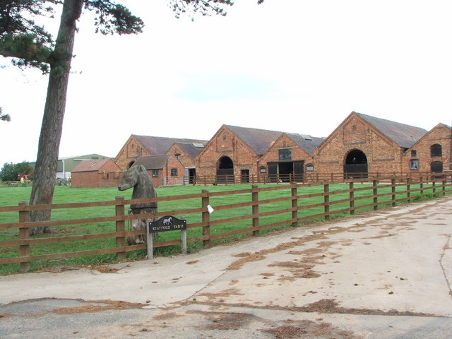
Statfold
Statfold is a former village and civil parish, now in the parish of Thorpe Constantine, in the Lichfield district, in Staffordshire, England. It is about...
Wigginton, Staffordshire
Wigginton is a village and former civil parish, now in the parish of Wigginton and Hopwas, in the Lichfield district, in the county of Staffordshire, England...

Statfold Barn Railway
The Statfold Barn Railway is a narrow gauge railway based near Tamworth, Staffordshire and partially in Warwickshire, England. Founded by engineering entrepreneur...

Elford railway station
Elford railway station was a railway station serving the village of Elford and the manor of Haselour Hall in Staffordshire. == History == It was opened...

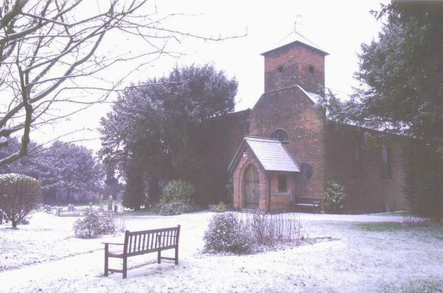
Church of St Andrew, Clifton Campville
The Church of St Andrew is a Grade I listed church in the village of Clifton Campville, Staffordshire. It was built in the 13th and 14th centuries. The...
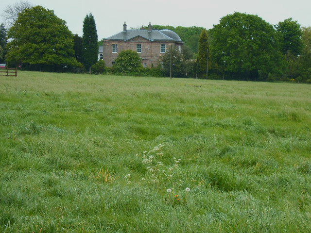
Amington Hall
Amington Hall is an early-19th-century former country house at Amington, near Tamworth, Staffordshire which has been converted into residential apartments...
Have you been to Hogs Hill?
Leave your review of Hogs Hill below (or comments, questions and feedback).