Charlaw Fell
Hill, Mountain in Durham
England
Charlaw Fell
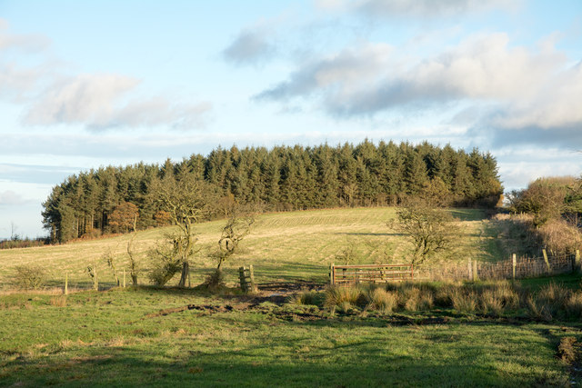
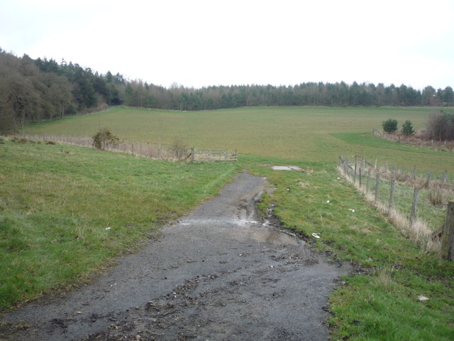
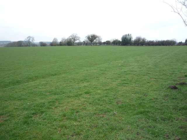
Charlaw Fell is a picturesque hill located in County Durham, England. Situated near the village of Edmundbyers, it forms part of the stunning North Pennines Area of Outstanding Natural Beauty. Rising to an elevation of approximately 1,407 feet (429 meters), it offers breathtaking views of the surrounding countryside.
The fell is characterized by its rugged and rocky terrain, with heather-covered slopes and exposed outcrops of limestone. It is a popular destination for hikers and nature enthusiasts, who are drawn to its tranquility and outstanding vistas. The area is also home to a diverse range of wildlife, including red grouse, curlews, and black grouse.
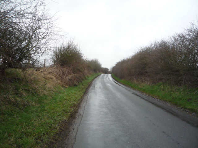
A well-defined footpath leads to the summit of Charlaw Fell, offering a moderately challenging but rewarding hike. As visitors ascend, they are treated to panoramic views of the surrounding moorland, valleys, and distant hills. On a clear day, it is even possible to see as far as the North Sea.
The fell's location within the North Pennines means it is part of a designated Area of Outstanding Natural Beauty, ensuring its protection and preservation for generations to come. The area is rich in cultural and historical significance, with evidence of early settlements and ancient mining activities.
Charlaw Fell is a hidden gem, offering a peaceful and unspoiled natural environment for visitors to enjoy. Whether it be for a leisurely walk, a challenging hike, or simply to soak in the stunning vistas, this hill in County Durham is a must-visit for nature lovers and outdoor enthusiasts alike.
If you have any feedback on the listing, please let us know in the comments section below.
Charlaw Fell Images
Images are sourced within 2km of 54.826206/-1.6554831 or Grid Reference NZ2247. Thanks to Geograph Open Source API. All images are credited.


Charlaw Fell is located at Grid Ref: NZ2247 (Lat: 54.826206, Lng: -1.6554831)
Unitary Authority: County Durham
Police Authority: Durham
What 3 Words
///estate.announced.lakes. Near Sacriston, Co. Durham
Nearby Locations
Related Wikis

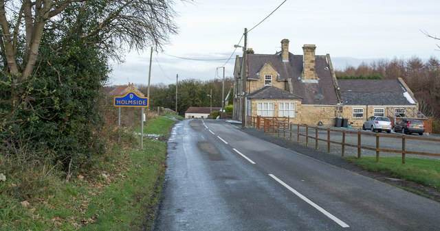
Holmside
Holmside is a village in County Durham, in England. It is situated to the north-west of Sacriston. The village has a 5.5 MW wind farm, Holmside Hall Wind...
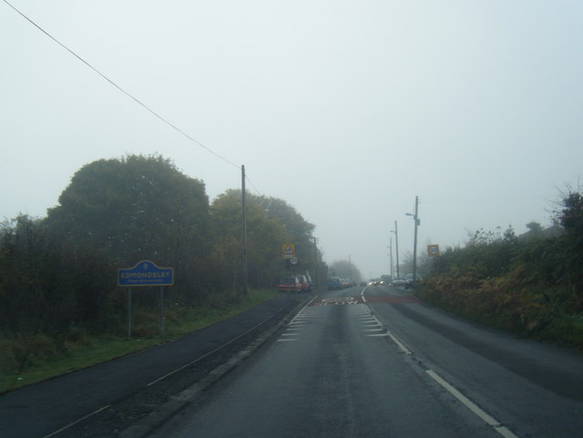
Edmondsley
Edmondsley is a small village in County Durham, England. It is situated a few miles south-west of Chester-le-Street, near the villages of Craghead and...
Sacriston
Sacriston is a village and civil parish in County Durham, England, situated 3 miles (4.8 km) north of the city of Durham. Although the area has been populated...
Witton Gilbert
Witton Gilbert is a village and civil parish in County Durham, England. == Geography == Witton Gilbert is situated about 3.7 miles (6.0 km) to the north...
Holmside Hall
Holmside Hall is an early 19th-century farmhouse and equestrian centre at Holmside, Burnhope, County Durham, England. The farm is built on the site of...
Fyndoune Community College
Fyndoune Community College was a co-educational secondary school located in Sacriston, County Durham, England. Previous names have included Sacriston Secondary...
Witton Gilbert railway station
Witton Gilbert railway station served the village of Witton Gilbert, County Durham, England from 1862 to 1963 on the Lanchester Valley Line. == History... ==

Craghead
Craghead is a village and former civil parish, now in the parish of Stanley, in the County Durham district, in the ceremonial county of Durham, England...
Nearby Amenities
Located within 500m of 54.826206,-1.6554831Have you been to Charlaw Fell?
Leave your review of Charlaw Fell below (or comments, questions and feedback).