Castle Hill
Hill, Mountain in Derbyshire Derbyshire Dales
England
Castle Hill
Castle Hill is a prominent hill located in Derbyshire, England. Situated in the Peak District National Park, it stands at an elevation of 425 meters (1,394 feet) above sea level. The hill is known for its distinctive shape and commanding views of the surrounding countryside.
Castle Hill gets its name from the ruins of an ancient hillfort that once stood at the summit. The fortification dates back to the Iron Age and is believed to have been built around 2,500 years ago. Today, only remnants of the fort remain, including some earthworks and a few walls. Despite its dilapidated state, the site provides insight into the area's historical significance.
The hill is a popular destination for walkers, hikers, and nature enthusiasts, thanks to its extensive network of trails and paths. Visitors can choose from a variety of routes that cater to different fitness levels and preferences, including shorter strolls and more challenging hikes. The paths meander through picturesque landscapes, offering breathtaking views of the surrounding valleys, hills, and villages.
Castle Hill is also notable for its diverse flora and fauna. The hill is home to a range of plant species, including heather, bracken, and bilberry. Various bird species, such as buzzards and kestrels, can be spotted soaring above, while rabbits and deer are occasionally seen grazing in the fields.
Overall, Castle Hill is a cherished natural and historical landmark in Derbyshire. Its combination of archaeological significance, stunning vistas, and recreational opportunities make it a must-visit destination for both locals and tourists alike.
If you have any feedback on the listing, please let us know in the comments section below.
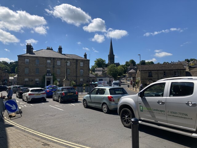
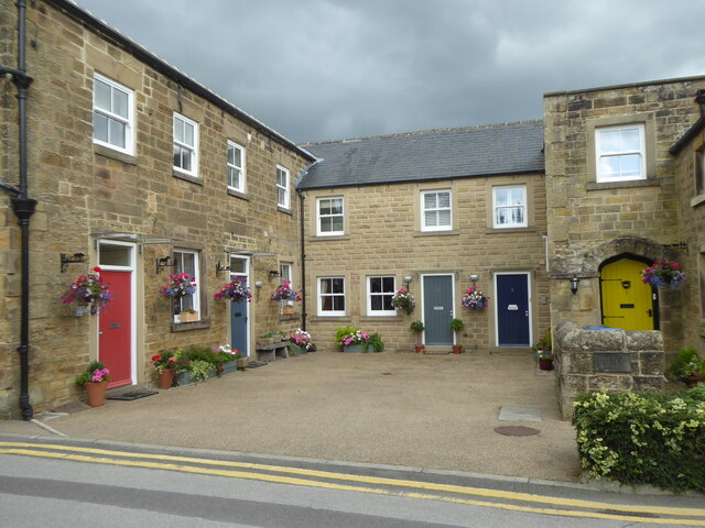
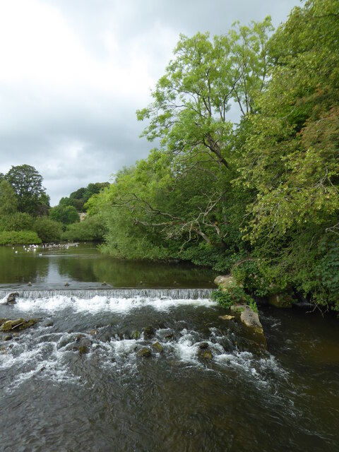
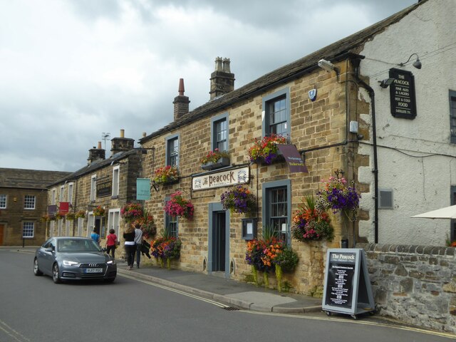
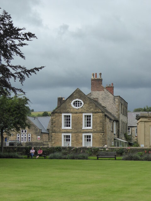
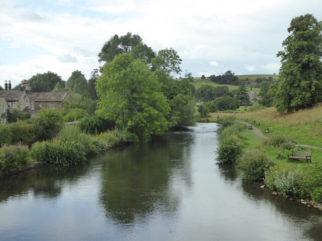
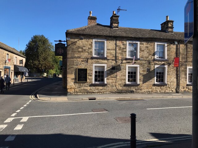
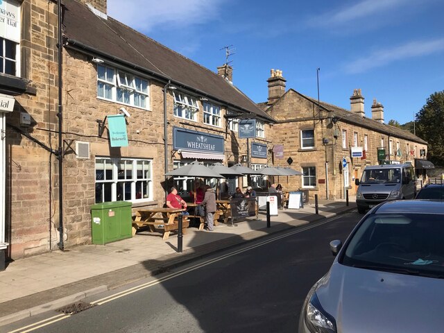
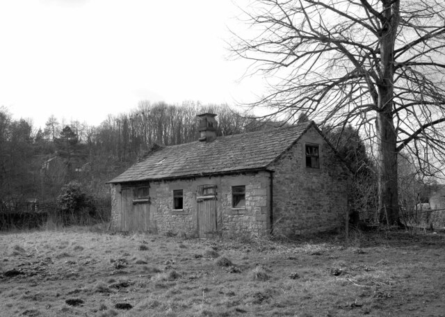
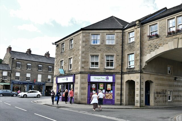
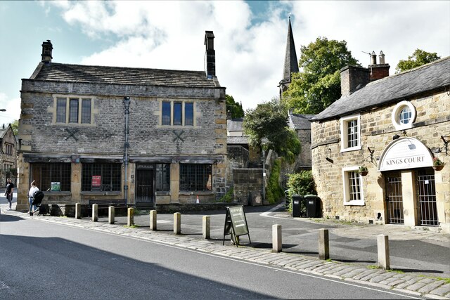
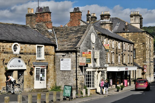
Castle Hill Images
Images are sourced within 2km of 53.216403/-1.670097 or Grid Reference SK2268. Thanks to Geograph Open Source API. All images are credited.


Castle Hill is located at Grid Ref: SK2268 (Lat: 53.216403, Lng: -1.670097)
Administrative County: Derbyshire
District: Derbyshire Dales
Police Authority: Derbyshire
What 3 Words
///fruitcake.loosens.spout. Near Bakewell, Derbyshire
Nearby Locations
Related Wikis

Bakewell Castle
Bakewell Castle was in the town of Bakewell, Derbyshire (grid reference SK221688). It was a motte and bailey castle. According to some sources it was built...
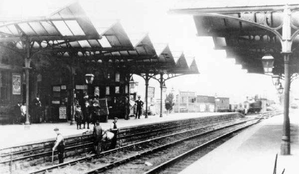
Bakewell railway station
Bakewell railway station was a railway station built to serve the town of Bakewell in Derbyshire, England, by the Midland Railway on its extension of the...
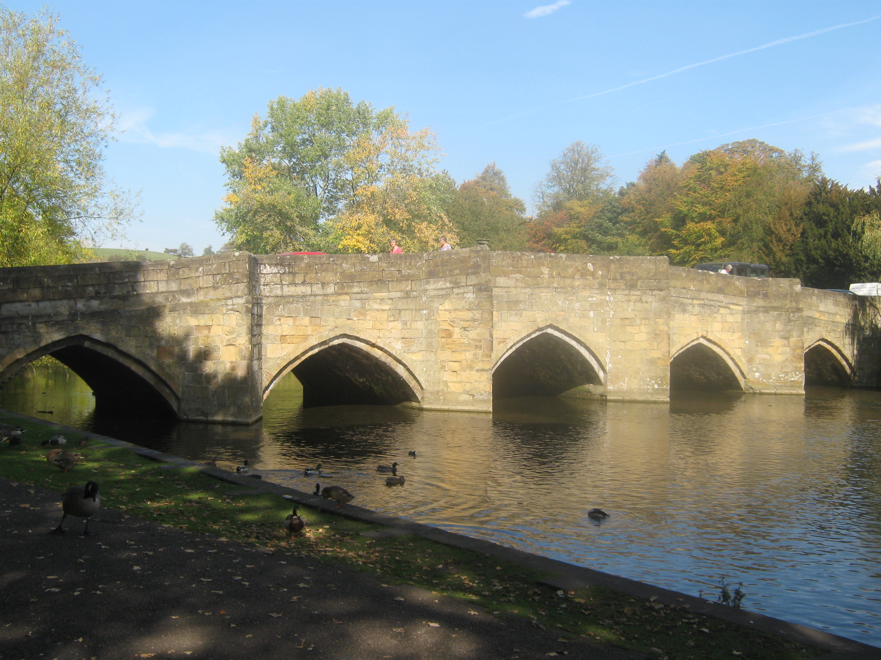
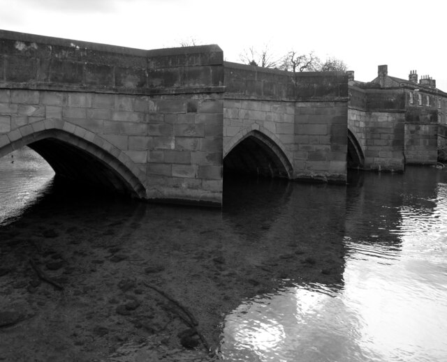
Bakewell Bridge
Bakewell Bridge is a Grade I listed stone arch bridge spanning the River Wye in Bakewell, Derbyshire. The bridge is also a scheduled monument. == History... ==
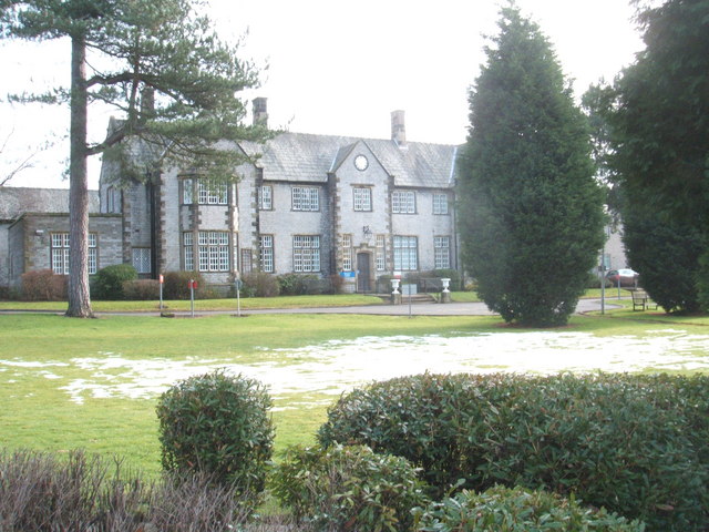
Newholme Hospital
Newholme Hospital is a community healthcare facility at Baslow Road in Bakewell, Derbyshire. It was managed by Derbyshire Community Health Services NHS...
Bakewell
Bakewell is a market town and civil parish in the Derbyshire Dales district of Derbyshire, England, known for Bakewell pudding. It lies on the River Wye...

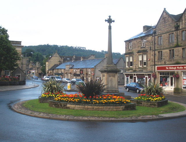
Bakewell War Memorial
Bakewell War Memorial is a 20th-century grade II listed war memorial in Bakewell, Derbyshire. == History == The sandstone memorial is dedicated to the...

Bakewell Urban District
Bakewell was an Urban District in Derbyshire, England from 1894 to 1974. It was created under the Local Government Act 1894. The district was abolished...

Bagshaw Hall
Bagshaw Hall is a 17th-century grade II* listed country hall on Bagshaw Hill in Bakewell, Derbyshire. == History == The hall was constructed by Thomas...
Nearby Amenities
Located within 500m of 53.216403,-1.670097Have you been to Castle Hill?
Leave your review of Castle Hill below (or comments, questions and feedback).