Lamb Hill
Hill, Mountain in Yorkshire Hambleton
England
Lamb Hill

Lamb Hill is a prominent hill located in the county of Yorkshire, England. It is part of the stunning landscape of the Yorkshire Dales National Park, making it a popular destination for nature enthusiasts and hikers alike. With an elevation of approximately 400 meters (1,312 feet), Lamb Hill offers breathtaking panoramic views of the surrounding countryside.
The hill is characterized by its distinctive shape and rugged terrain, featuring steep slopes and rocky outcrops. It is covered in a patchwork of grassy fields, heather moorland, and scattered trees, adding to its picturesque charm. The diverse vegetation on Lamb Hill supports a variety of wildlife, including birds, rabbits, and occasional sightings of deer.
Hiking trails wind their way up Lamb Hill, providing visitors with opportunities to explore its beauty up close. The ascent can be challenging at times, but the reward is well worth it. Once at the summit, visitors are treated to unparalleled vistas stretching across the Yorkshire Dales, with its rolling hills, meandering rivers, and quaint villages.
Lamb Hill is also known for its historical significance, with evidence of human occupation dating back thousands of years. Archaeological remains, such as ancient burial mounds and stone circles, can be found in the area, offering a glimpse into the region's rich past.
Whether it's for hiking, wildlife spotting, or immersing oneself in history, Lamb Hill is a captivating destination that showcases the natural beauty and cultural heritage of Yorkshire.
If you have any feedback on the listing, please let us know in the comments section below.
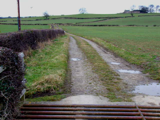
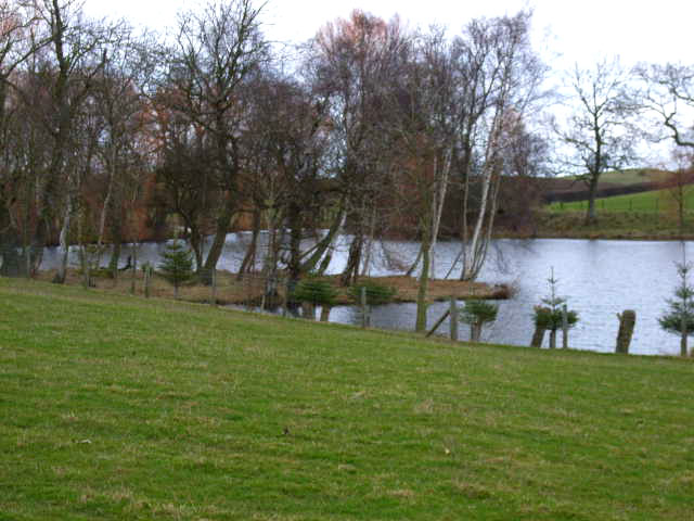
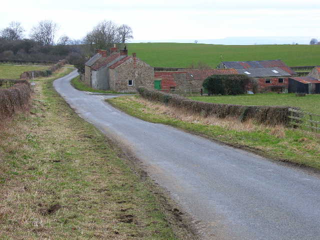
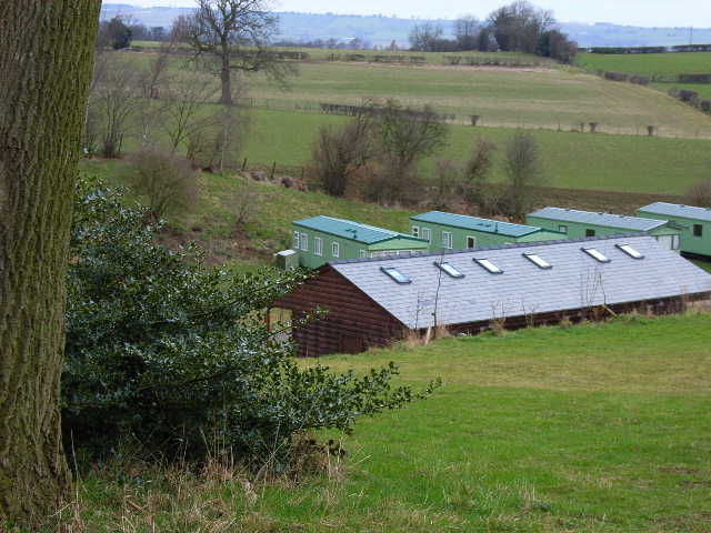
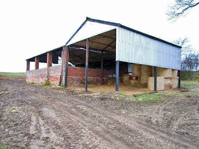
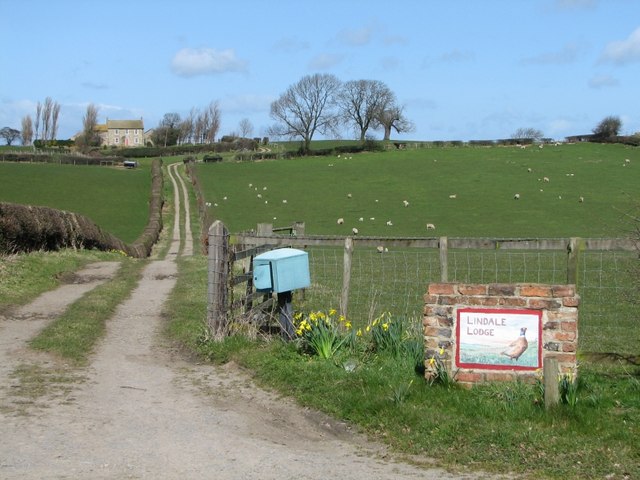
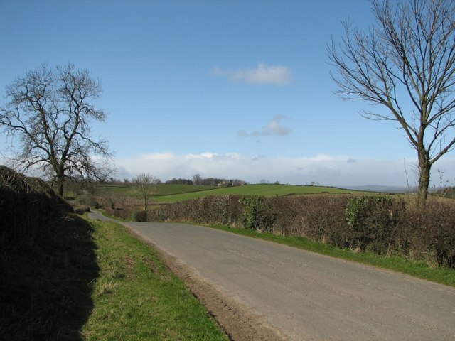
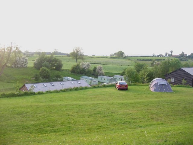
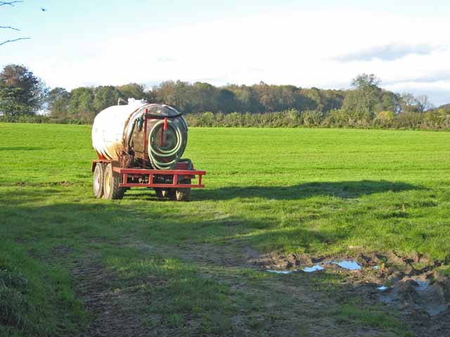
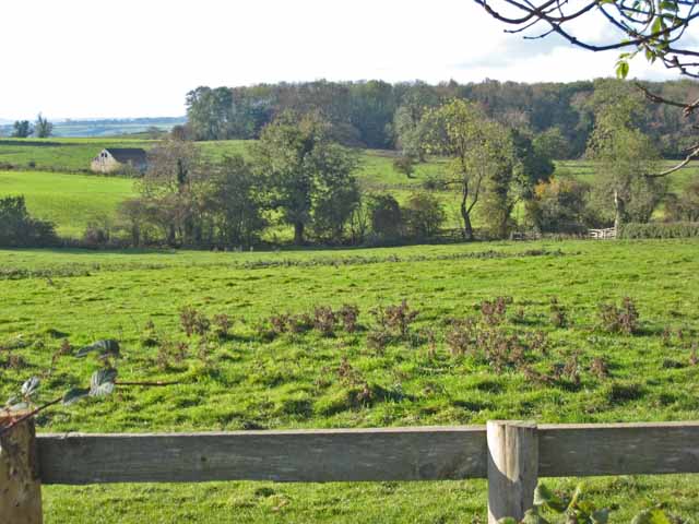
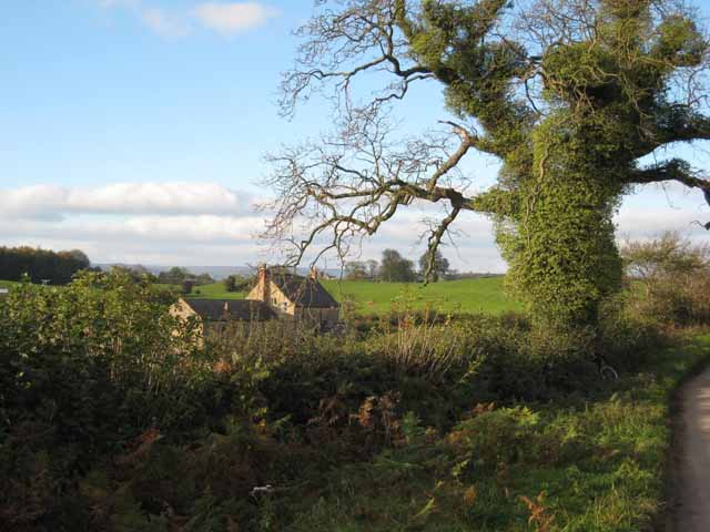
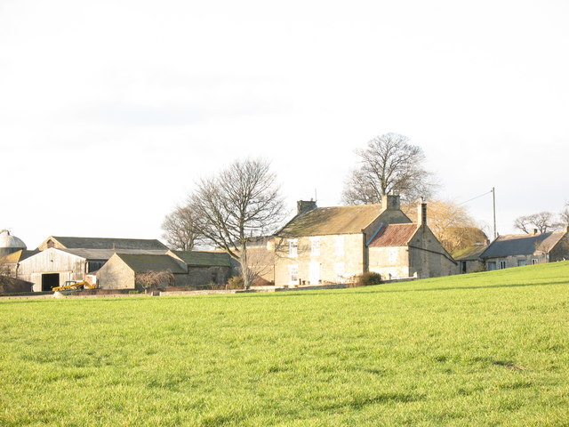
Lamb Hill Images
Images are sourced within 2km of 54.279023/-1.6685072 or Grid Reference SE2187. Thanks to Geograph Open Source API. All images are credited.


Lamb Hill is located at Grid Ref: SE2187 (Lat: 54.279023, Lng: -1.6685072)
Division: North Riding
Administrative County: North Yorkshire
District: Hambleton
Police Authority: North Yorkshire
What 3 Words
///spinners.eating.readings. Near Bedale, North Yorkshire
Nearby Locations
Related Wikis

Thirn
Thirn is a village and civil parish in North Yorkshire, England. It is situated close to the River Ure, about 3 miles (5 km) south-west of Bedale.The hamlet...
Rookwith
Rookwith is a hamlet and civil parish in the Hambleton district of North Yorkshire, England, about 4 miles (6.4 km) west of Bedale and near the flow of...
Cowling, Hambleton
Cowling is a small village in the Hambleton District of North Yorkshire, England. It is in the parish of Burrill with Cowling and 1 mile west of Bedale...

Aysgarth School
Aysgarth School is an independent day and boarding preparatory school near to the village of Newton-le-Willows, North Yorkshire, England. As the name suggests...

Thornton Watlass Hall
Thornton Watlass Hall is a large Grade I listed Georgian country house in Thornton Watlass, North Yorkshire, England, some 3 miles (5 km) north of Masham...

Burrill
Burrill is a small village in near to Bedale in North Yorkshire, England. It is in the parish of Burrill with Cowling and 1 mile (1.6 km) west of Bedale...
Jervaulx railway station
Jervaulx railway station was a railway station in Newton-le-Willows, North Yorkshire, England. Originally named after this place, it was renamed after...
Burrill with Cowling
Burrill with Cowling is a civil parish in the Hambleton District of North Yorkshire, England, including the villages of Burrill and Cowling. It is only...
Nearby Amenities
Located within 500m of 54.279023,-1.6685072Have you been to Lamb Hill?
Leave your review of Lamb Hill below (or comments, questions and feedback).