Cote Hill
Hill, Mountain in Yorkshire Harrogate
England
Cote Hill

Cote Hill is a prominent hill located in the county of Yorkshire, England. It is part of the larger Pennine range, which stretches across northern England. Standing at an elevation of approximately 554 meters (1,818 feet), it is one of the higher peaks in the region and offers breathtaking panoramic views of the surrounding countryside.
The hill is situated near the village of Cote, which gives it its name, and is located in the Yorkshire Dales National Park. This designation ensures its protection and preservation, making it a popular destination for outdoor enthusiasts and nature lovers. The park boasts a diverse range of flora and fauna, and Cote Hill is no exception, with a variety of plant species and wildlife inhabiting its slopes.
Visitors to Cote Hill can enjoy a range of activities, including hiking, walking, and birdwatching. There are several well-marked trails that allow visitors to explore the hill and its surrounding areas, providing opportunities to discover the natural beauty of the region. Additionally, the hill is often used as a launch site for paragliding and hang gliding, attracting thrill-seekers from near and far.
Cote Hill is not only a natural gem but also holds historical significance. It is believed to have been inhabited by humans since prehistoric times, with evidence of ancient settlements and burial mounds discovered in the area. The hill's rich history adds an extra layer of intrigue for those interested in the region's past.
Overall, Cote Hill is a captivating destination that offers a combination of natural beauty, outdoor activities, and historical significance. Whether one seeks breathtaking views, an adrenaline rush, or a glimpse into the past, this Yorkshire hill has something to offer for everyone.
If you have any feedback on the listing, please let us know in the comments section below.
Cote Hill Images
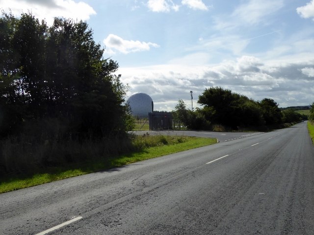
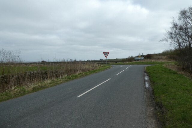
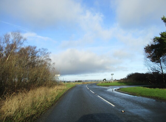
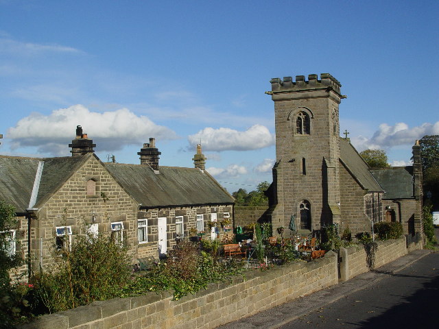
Images are sourced within 2km of 54.01727/-1.671063 or Grid Reference SE2157. Thanks to Geograph Open Source API. All images are credited.


Cote Hill is located at Grid Ref: SE2157 (Lat: 54.01727, Lng: -1.671063)
Division: West Riding
Administrative County: North Yorkshire
District: Harrogate
Police Authority: North Yorkshire
What 3 Words
///servants.estimates.unable. Near Harrogate, North Yorkshire
Related Wikis
Felliscliffe
Felliscliffe is a civil parish in North Yorkshire, England, in Nidderdale, Borough of Harrogate. The population of the civil parish at the 2011 census...
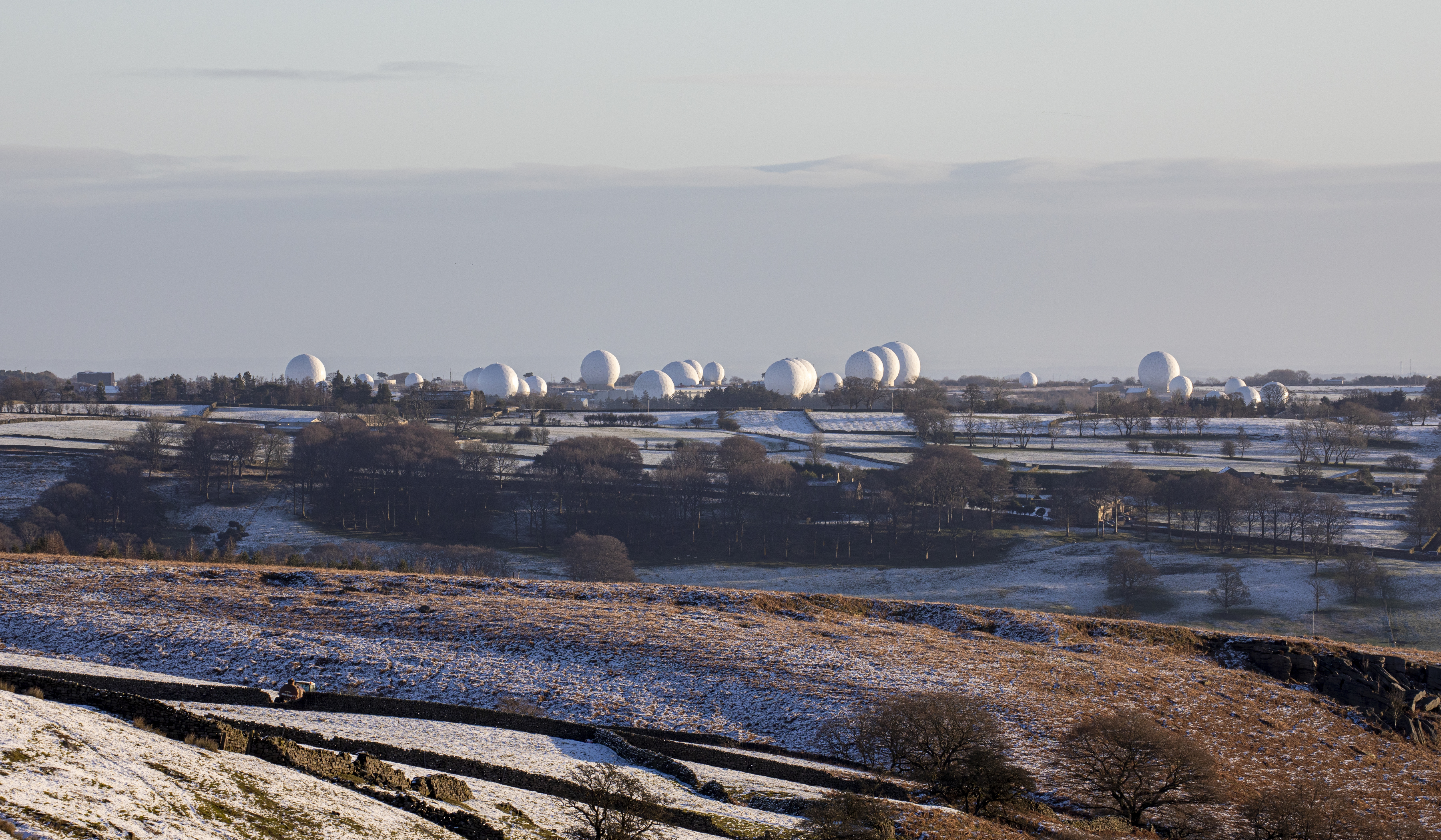
RAF Menwith Hill
Royal Air Force Menwith Hill or more simply RAF Menwith Hill is a Royal Air Force station near Harrogate, North Yorkshire, England, which provides communications...

Darley, North Yorkshire
Darley is a linear village in Nidderdale in the Harrogate district of North Yorkshire, England. The population as at the 2011 Census is 1,332 and is included...
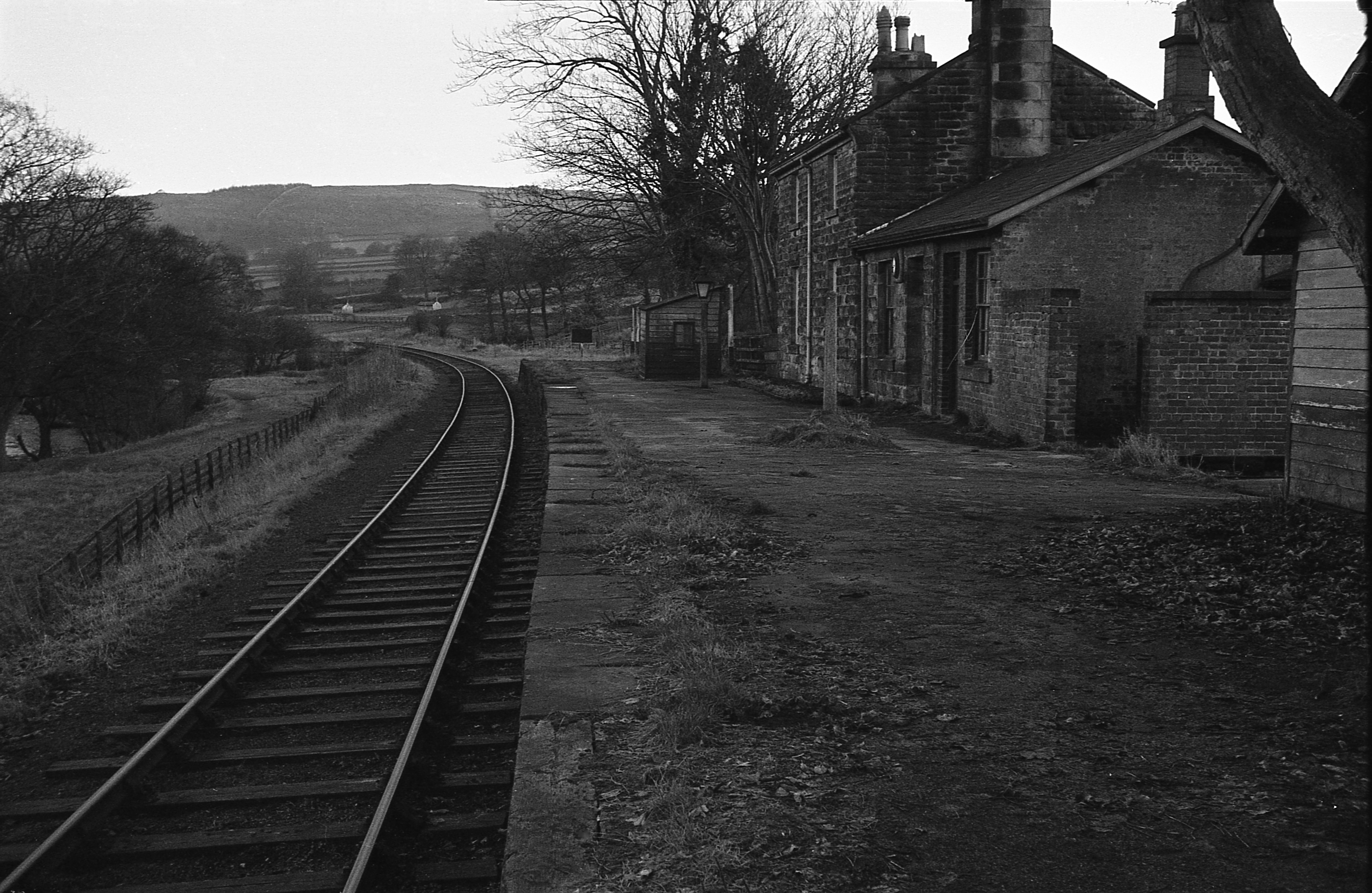
Darley railway station
Darley railway station served the village of Darley, North Yorkshire, England from 1864 to 1951 on the Nidd Valley Railway. == History == The station was...
Nearby Amenities
Located within 500m of 54.01727,-1.671063Have you been to Cote Hill?
Leave your review of Cote Hill below (or comments, questions and feedback).